
Quick report
- Cracking
- isolated
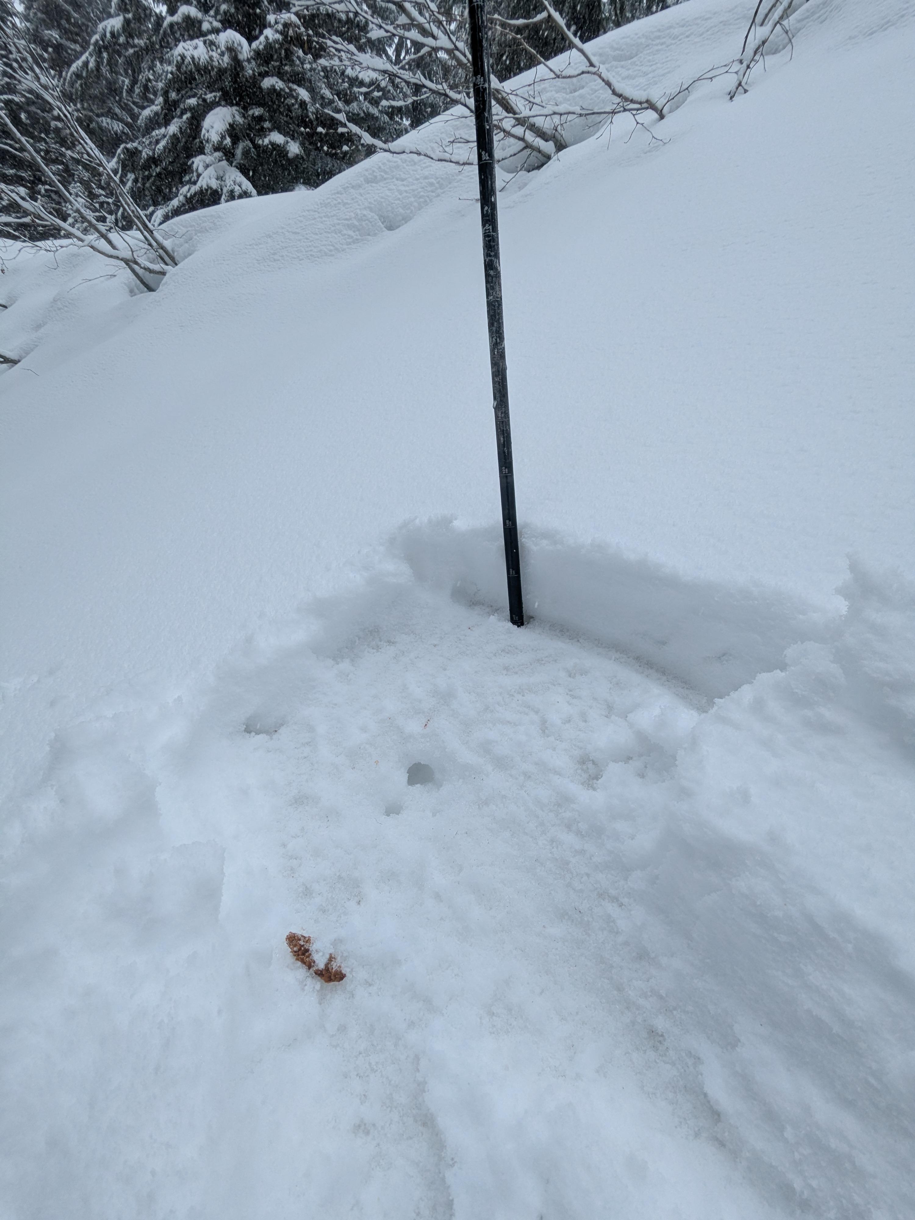
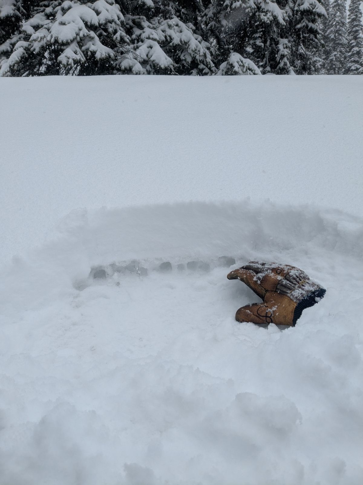
Cracking increased with elevation. We found an unexpected 1F- layer of unconsolidated not refrozen poly grains below the dense new snow but above a refrozen mass. This layering was only found between 5,800 to 6,300 feet, and where cracking was the most notable.
Weather
- Cloud Cover
- obscured
- Wind Loading
- moderate
- Rain Elevation
- 3,000 feet initially, up to 5,000 at 3 pm
- Recent Snowfall
- 10 to 20
- Snow Avail For Transport
- moderate amounts
Mostly all snow from the sky to start. S1-2+ in the cold sector of the day. Skies were obscured and winds increased with elevation becoming strong near treeline and above. During our descent, we encountered a wintry mix between 5,300 to 5,000 feet and all rain below 5,000 feet. The rain came down in sheets in the afternoon...literally.
Snowpack
We found around 4 inches of wet, dense new snow around 4,800 feet and upwards of 5 to 6 inches by between 5,500 and 6,500 feet. New snow amounts were closer to 8 to 10 inches above 6,500 feet and isolated drifts around a foot deep. The refrozen mass of wet ploy grains from last weeks rain below the new snow ranged 15 to 20 cm thick, and 1F- to 4F (top to bottom) hardness. It was quite punchy below this layer probing around, but this harder layer was supportive to boot/ foot travel. We saw a few fresh slides that ran today confined to the new snow. These were on north and northeast-facing slopes between 6,300 and 6,400 feet. Using small test slopes to gauge new snow sensitivity, we could only muster surface cracking but no downhill snow movement. The lower we descended in elevation in the afternoon, the snow got even more slabby, sticky, and wanted to break in thick clumps with ski pressure. We did not provoke any wet snow slides despite the rains wetting the new snow.
Avalanche
- Size
- D1.5
- Type
- SS
- Count
- 2
- Aspect
- N
- Trigger
- N
- Elevation
- 6300 ft