
Quick report
- Cracking
- isolated
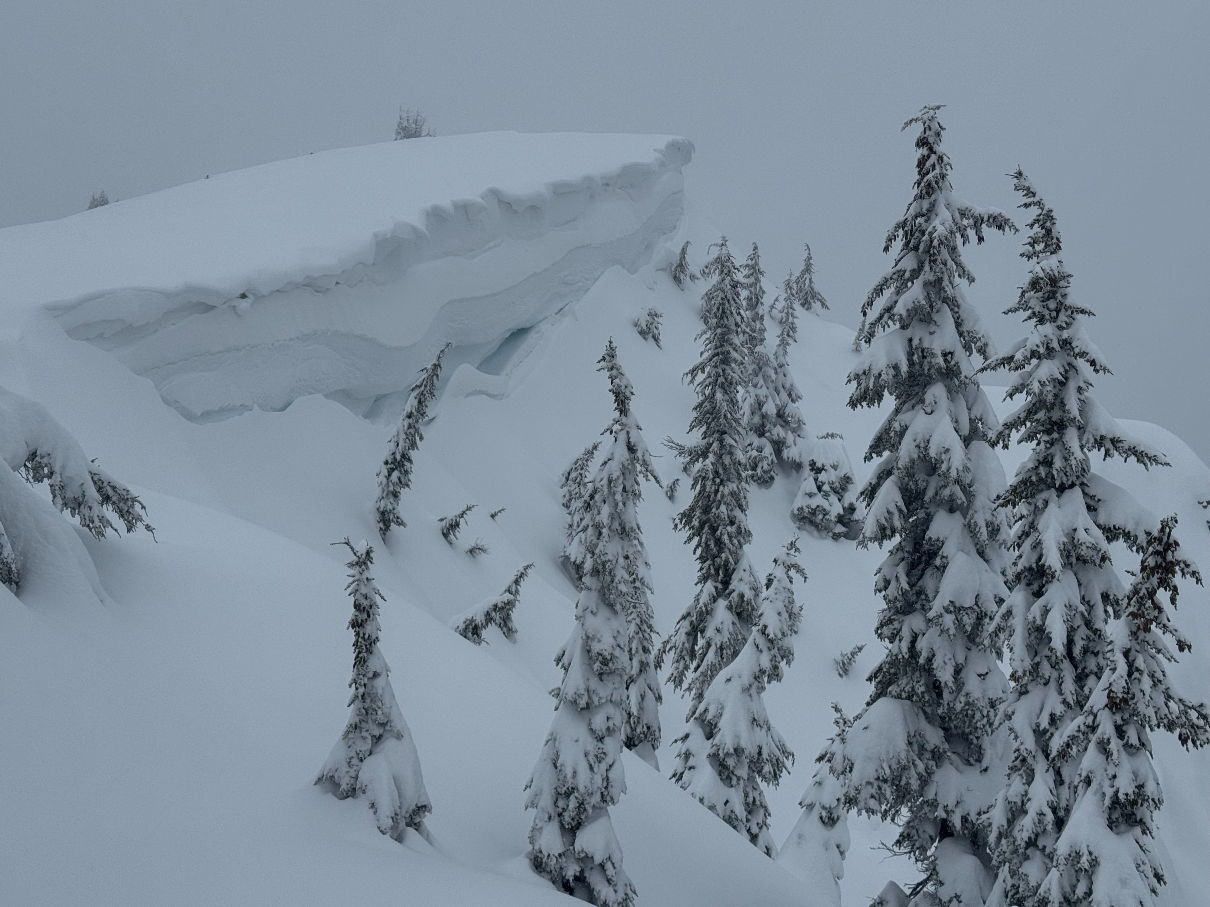
An avalanche warning was issued for the East Cabinet Mountains this morning. We traveled to the Rock Creek area to field truth some the the recent storm totals being forecasted, and to look for evidence of recent avalanche actvity. We traveled exclusively in non-avalanche terrain on slopes less than 30 degrees that were free of overhead hazards. This was a sound strategy for moving through the mountains safely right now and allowed us to enjoy the abundant new snow on gentle slopes.
- Since late Tuesday night (March 10th), this area has recieved about 2 feet of snowfall, and light to moderate snow continued throughout the day today.
- 8 to 12"+ of new snow has fallen since Thrusday night (March 12th) above 5000 feet. This new snow sits atop a thin brittle raincrust at lower elevations. The recent rain crust that formed overnight on the 11th thins out with elevation and was not present above 5,700 feet.
- Winds have died down considerably since Wednesday night, where some upper and middle elevation areas experienced gusts greater than 80 miles per hour. Today was almost completely calm all the way to our high point/turnaround near 6500 feet.
- Recently drifted snow and surface features indicating impact from strong to extreme winds on Wednesday are now disguised and hidden beneath a foot or more of new snow. Unfortunately you cannot rely on surface clues due to this fact, so it is wise to avoid any and all steep leeward slopes with this uncertainty.
- Visibility was poor of surrounding avalanche terrain in the distance, so were were unsuccessful at observing any natural avalanche activity today.
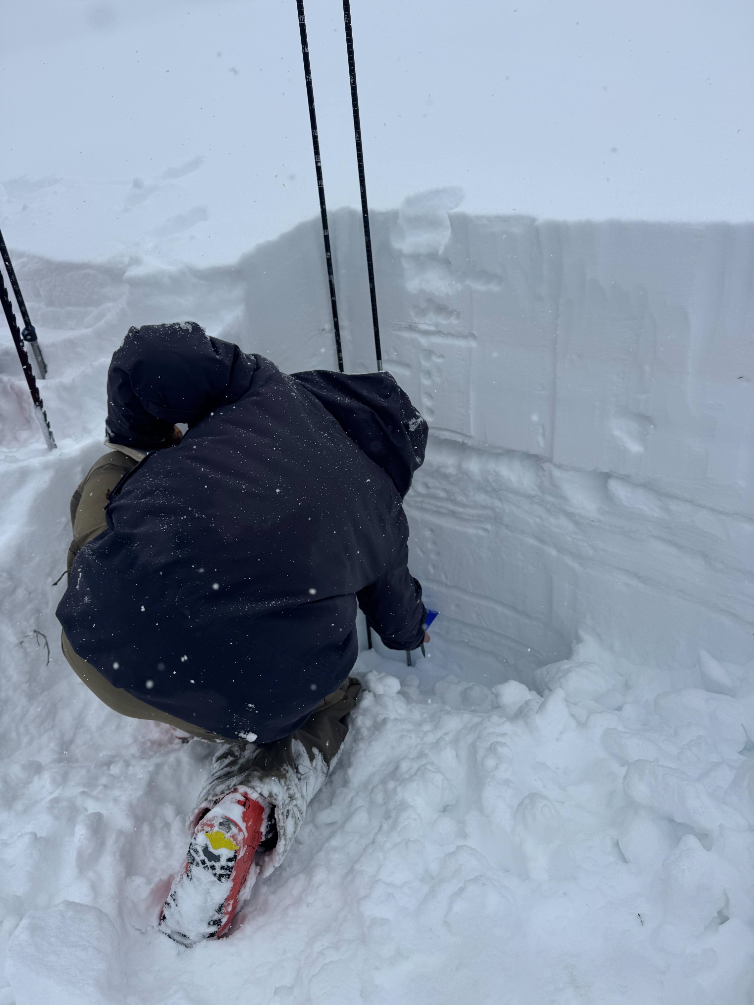
- We dig two pits today, one near 5,100 feet on a northwest facing slope, and the other near 6,500 feet on a southwest facing slope. We got mixed results on multiple layers within the upper 3 feet of the snowpack, but did not observe failures in our primary persistent slab problem layers. More details from these pits can be found in the attached snowpit profile images.
Weather
- Cloud Cover
- overcast
- Rain Elevation
- 2,000 feet
- Recent Snowfall
- HN24: 30cm+ above 5,000 feet
- Snow Avail For Transport
- large amounts
Steady snowfall throughout the day. We estimate that 4 to 6 inches accumulated during daylight hours. Winds were calm throughout the day all the way up to our high point of 6,500 feet. Temperatures were below freezing, allowing the new precipitation to fall exclusively as snow at all elevations. The rain/snow line began reaching valley floors during our commute back to Sandpoint this evening, with light rain/very dense wet snow near 2,000 feet.
Avalanche
none observed