
Quick report
Today, I tried to observe as much terrain as possible before the storm kicked in. Above treeline was not observed, and no obvious signs of unstable snow were witnessed.
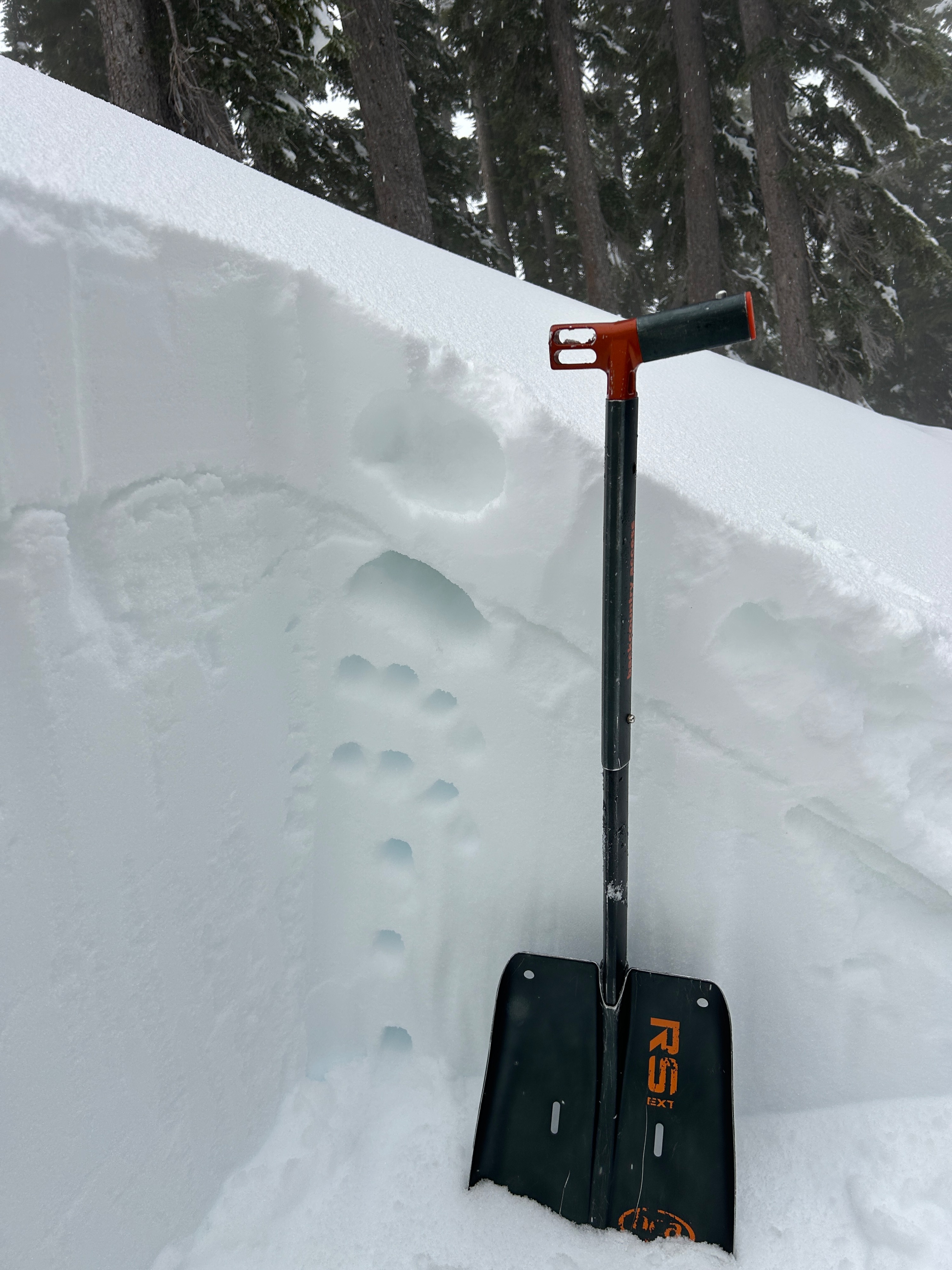
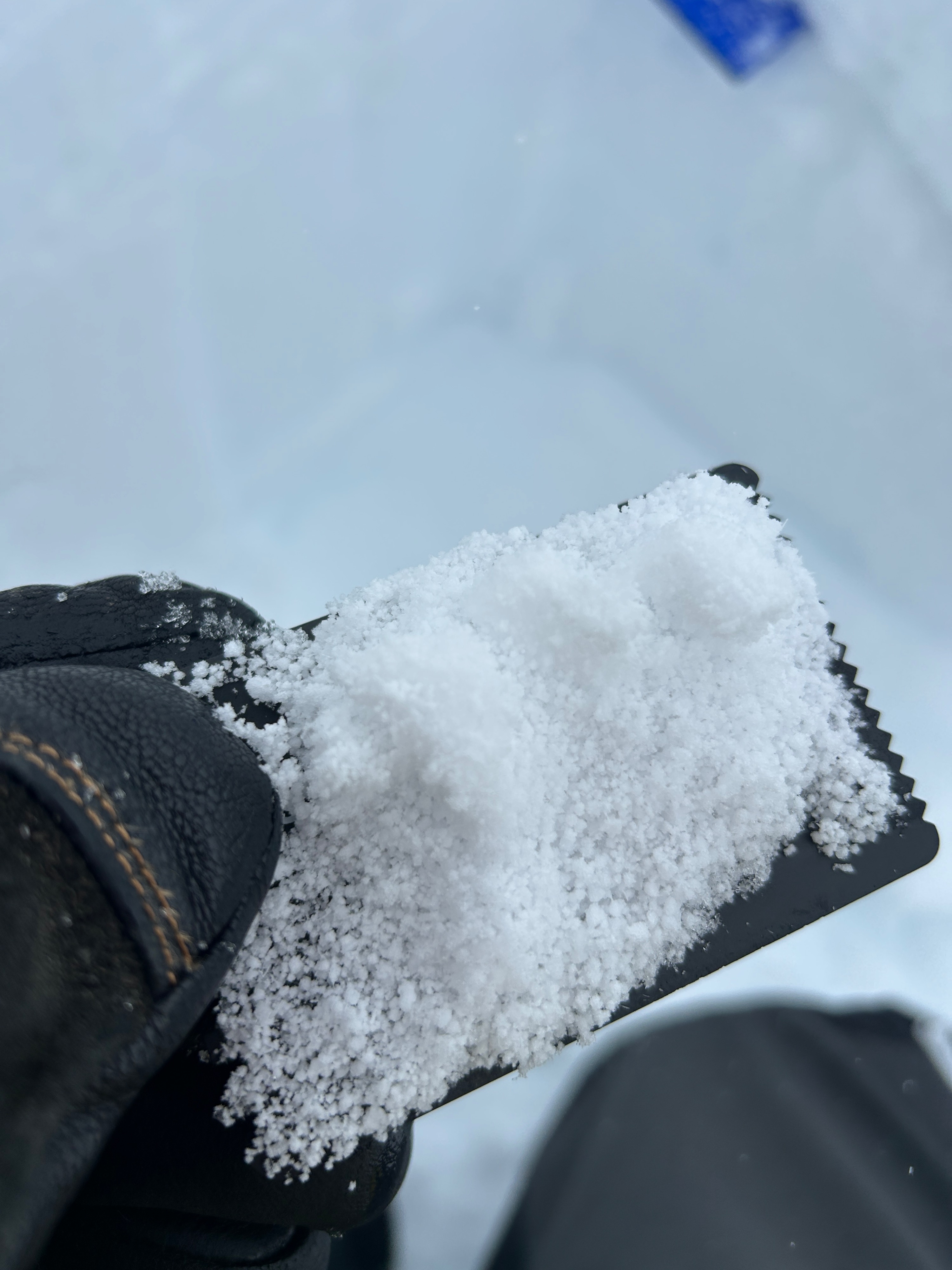
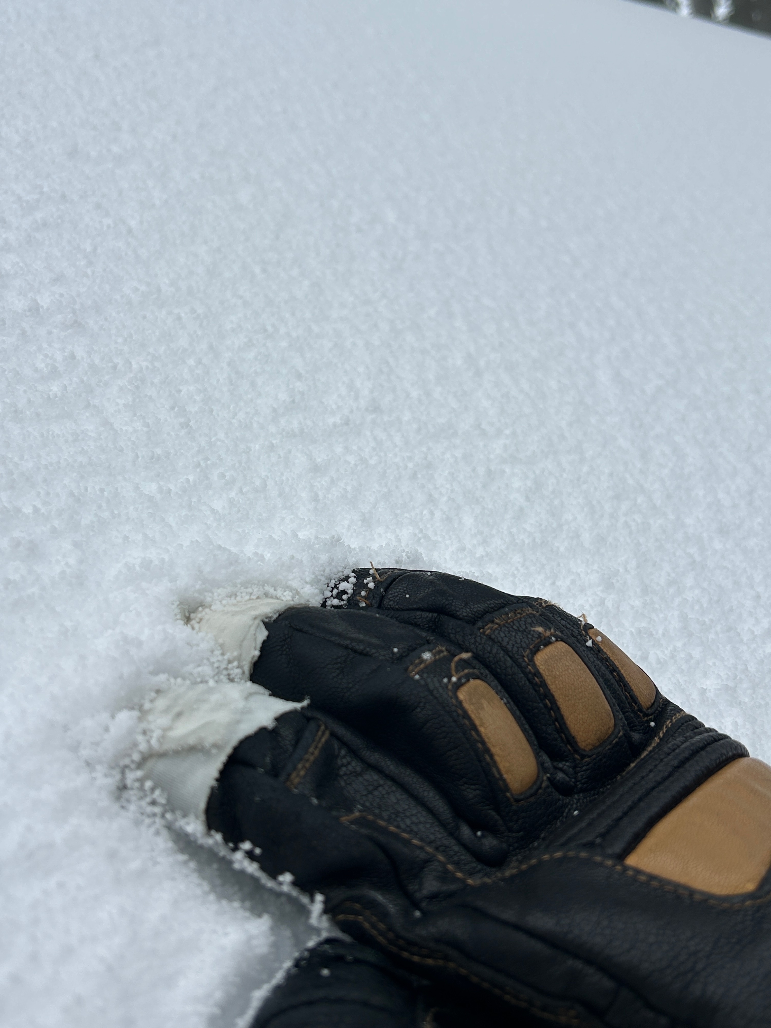
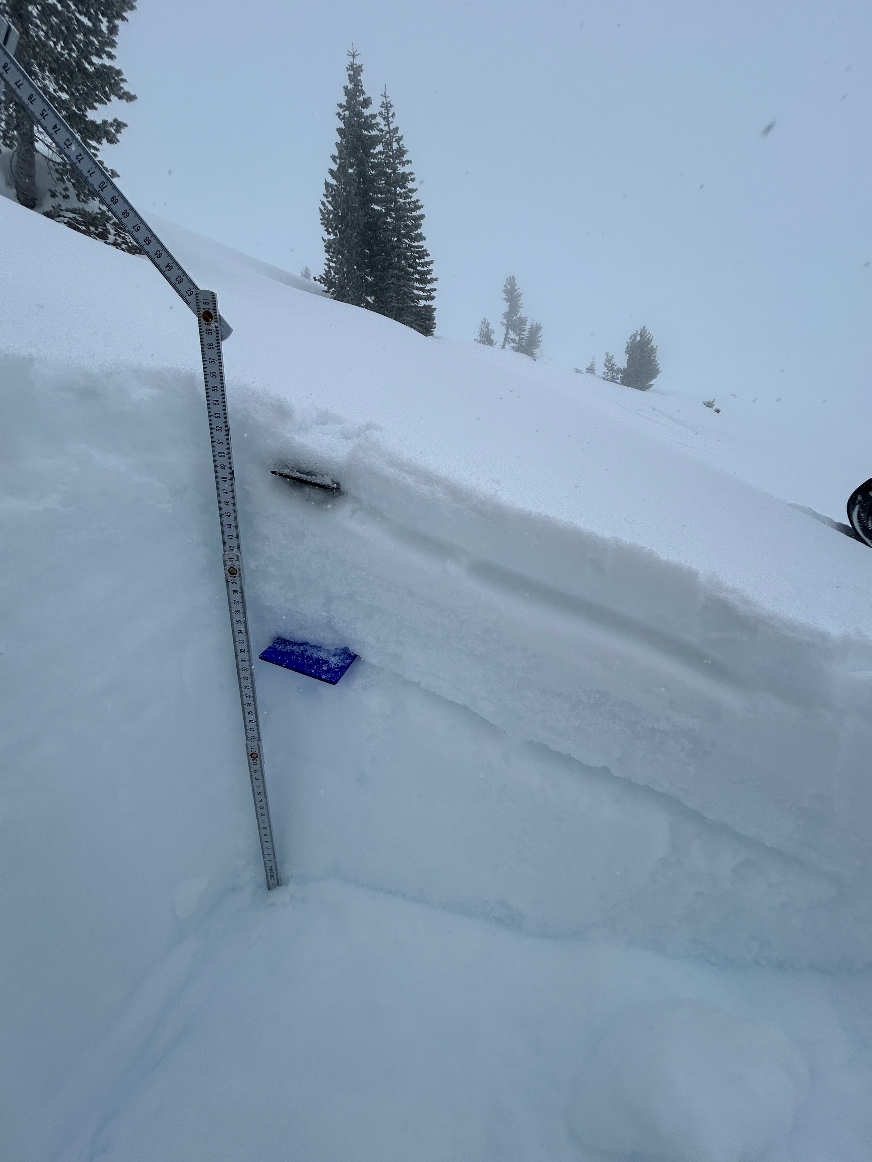
The weather remained active throughout the field visit. Graupel and mixed precipitation particles were the first grain types to fall, accumulating to over an inch in most areas near and below treeline. This was notable, as graupel has been responsible for several large avalanches in the past and can remain reactive several days after its burial. These precipitation particles fall on a newly formed melt/freeze crust that formed yesterday during a lengthy period of sunshine in the morning followed by a night of freezing temperatures. This dust on crust set-up was observed across all aspects near and below treeline. The crust did not support the weight of a foot or machine. Beneath the crust is the 6 inches of snow from February 11th. Beneath that, a stout crust that formed over the January dry spell exists with weak, faceted snow grains beneath it. This snowpack structure has been observed primarily on west, north, and east aspects near and below treeline. Moving forward, both these layers have the potential to cause avalanches with a large enough load. It will be best to give the snowpack time to adjust before stepping out into avalanche terrain.
No immediate signs of unstable snow were witnessed. However, there is a lot of snow available for transport with poor receiving surfaces.Weather
- Air Temp
- 27
- Cloud Cover
- obscured
- Wind Loading
- unknown
- Rain Elevation
- 5,000
- Recent Snowfall
- 1
- Snow Avail For Transport
- large amounts
Stormy weather gradually increased over the first half of the day, with graupel and other mixed precipitation particles being the first to fall. Down low the winds were calm but instantly increased to moderate speeds near treeline. Temperatures sat below freezing levels, in the upper 20s, and the sky remained obscured.