
Quick report
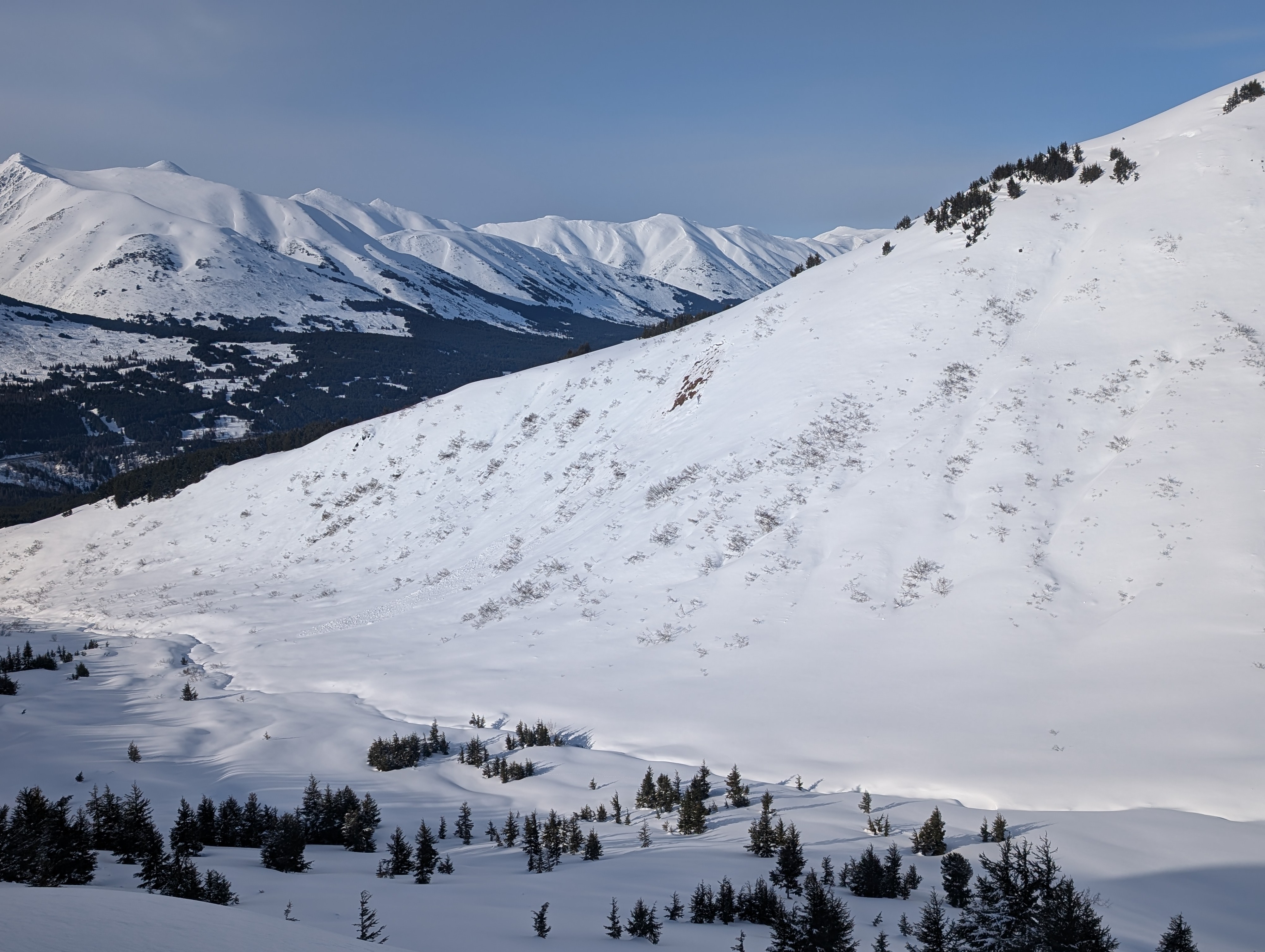
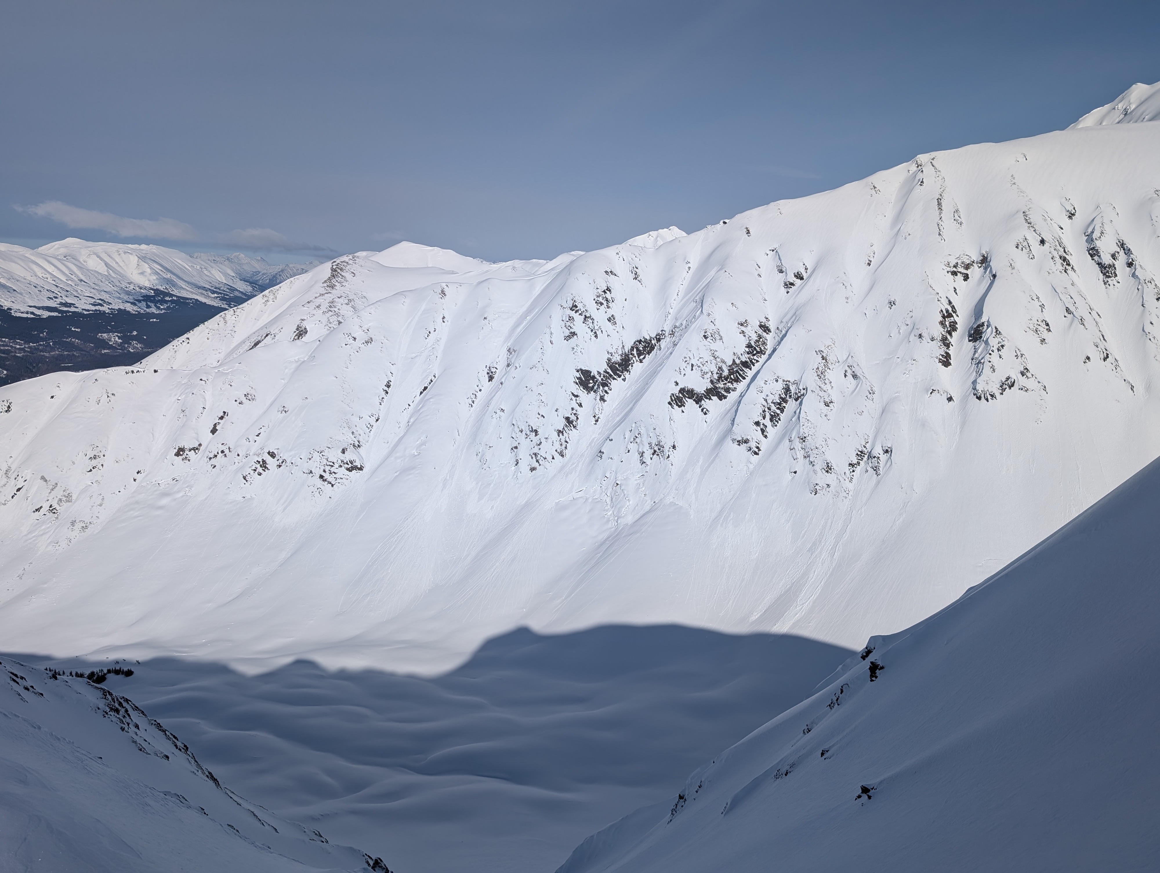
We headed to Manitoba to get a status update on the state of the snowpack. There was around 1” to 5” of soft snow from the highway to the top of Manitoba. The snow surface was faceting at all elevations. A stout crust began to disappear around 2,000’ replaced with wind slabs of various hardnesses that rode pretty nicely. The surface hoar layer is much smaller than across the highway on Fresno and mostly laid over. We did not find concerning results in our hand and snow pits. This is a great example of how spatially variable this layer is. It seemed less concerning at Manitoba but could be a bigger issue on Fresno Mtn and Tenderfoot.
Weather
- Air Temp
- 36 in the afternoon at the highway
- Cloud Cover
- few
- Wind Loading
- none
- Recent Snowfall
- 1 to 4" soft snow
- Snow Avail For Transport
- moderate amounts
Mostly sunny skies with light winds. Temperatures felt cooler. This sun was warm but it took a while for the snow to soften up where it was frozen.
Snowpack
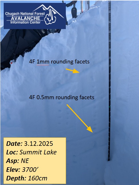
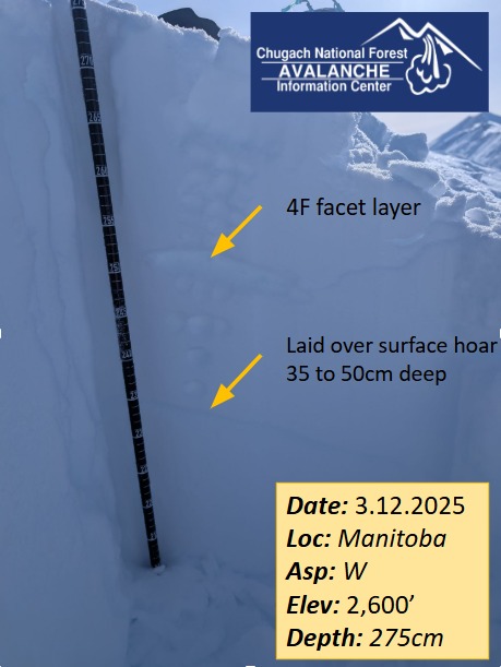
When the surface hoar was present it was around 1 to 1.5’ deep, broken and mostly laid over. There is another weak layer (1mm facets) above the surface hoar layer that broke cleaning in most hand tests that is worth keeping track of as more snow falls on it. We also dug a pit at 3,700’ with a snowpack depth of 160cm. The surface hoar layer was not present and the bottom of the snow seemed to be gaining strength. There were no concerning test results (ECTX).
Avalanche
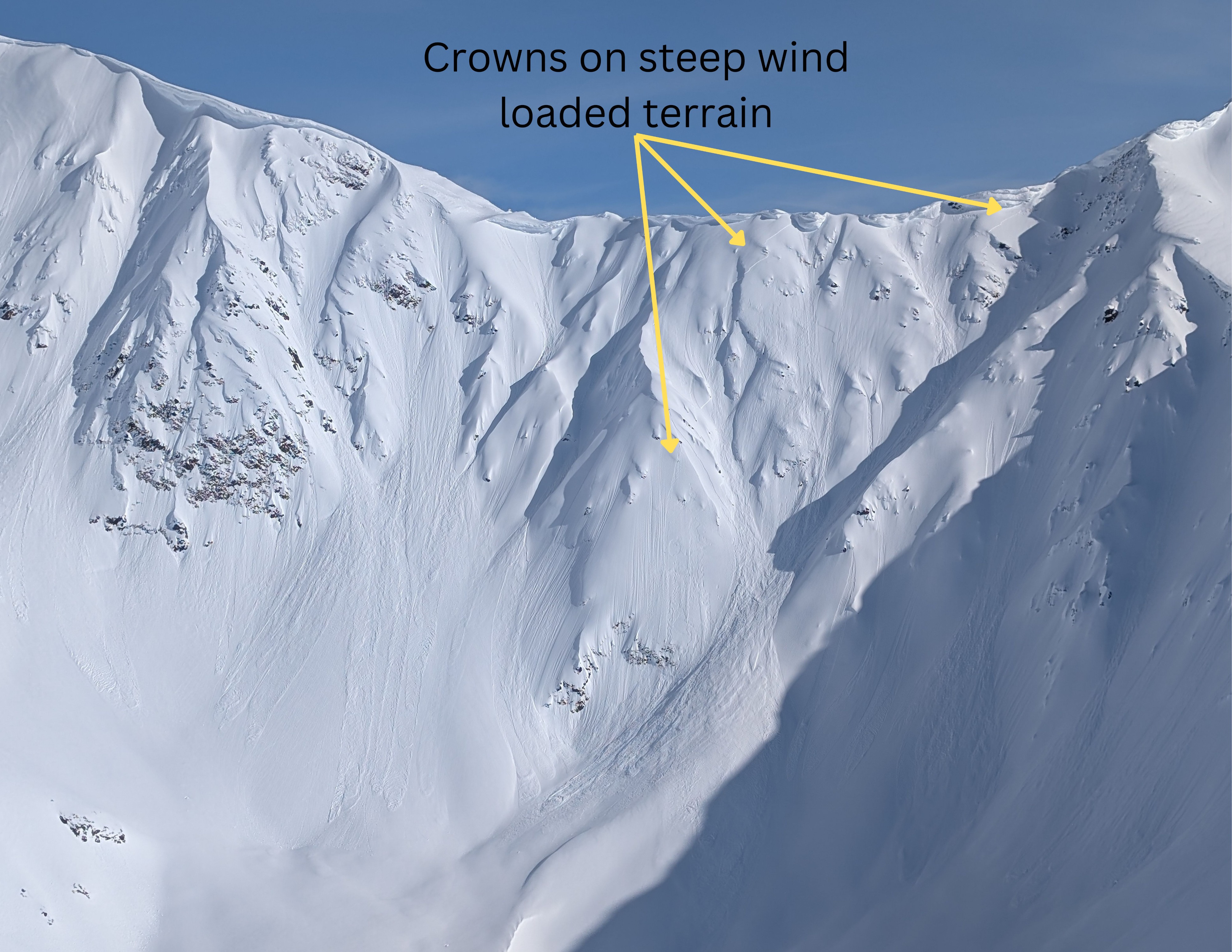
A few wind slab avalanches on the back bowl of Manitoba that look like they failed on a buried weak layer. These are probably a few days old and likely released on Sunday or Monday.