
The North Fork of Shoshone River Drainage
Quick report
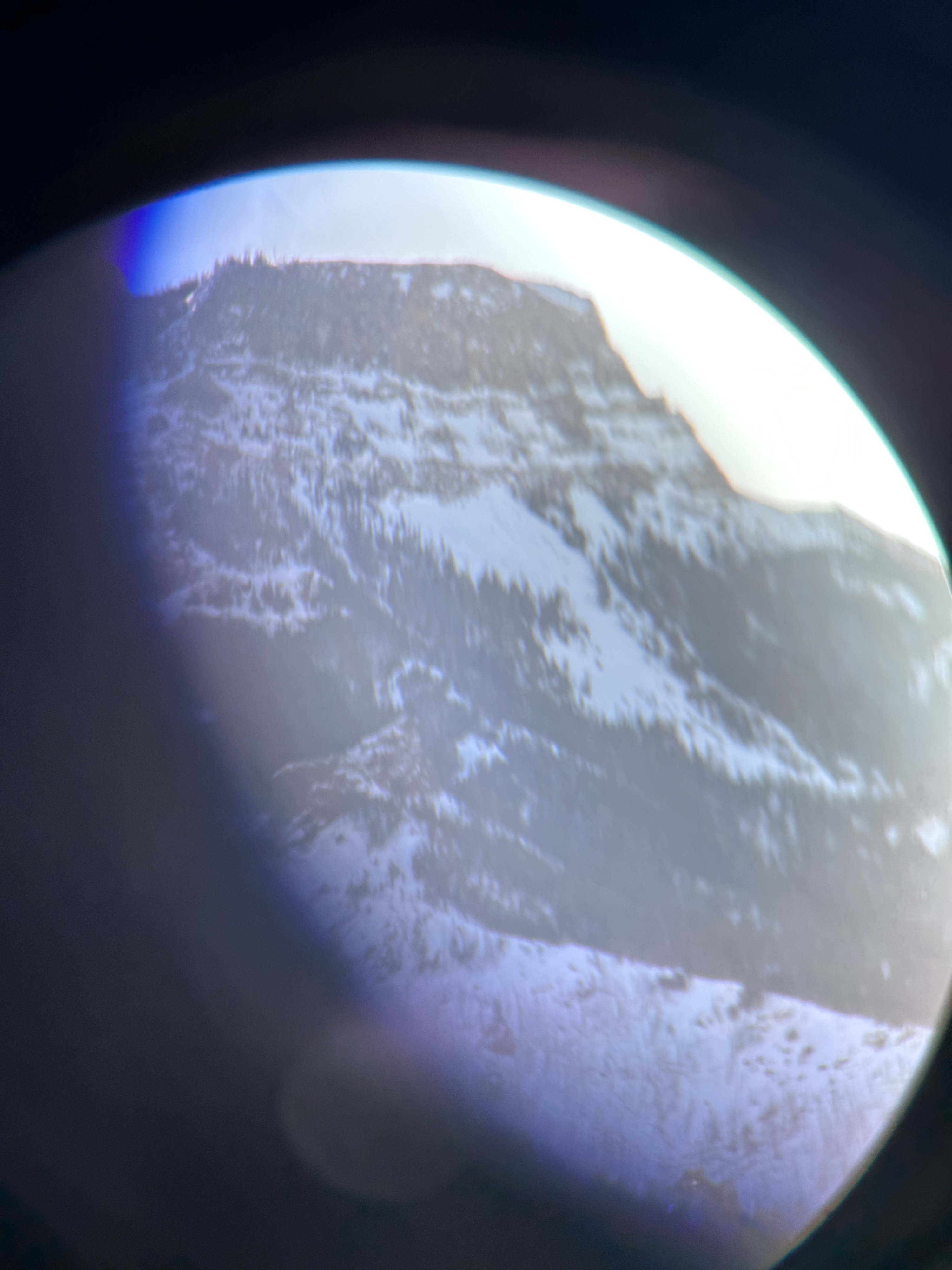
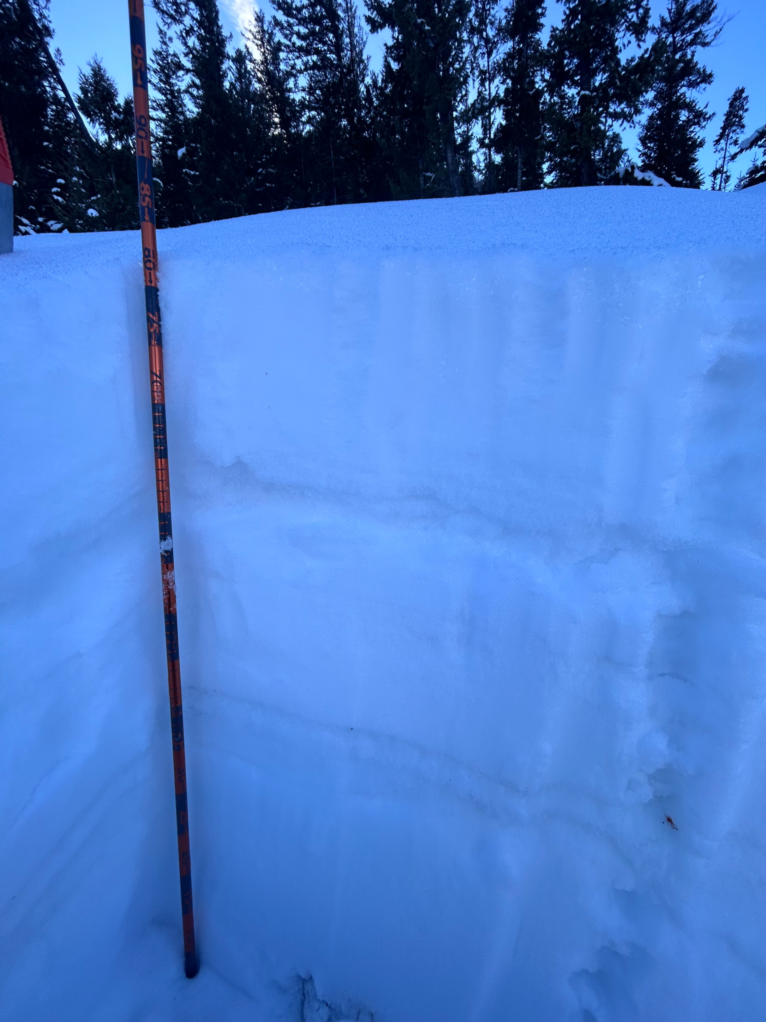
At the time of observation I observed a thin snowpack at lower elevations and on east/ southeast facing slopes. At higher elevations and on slopes facing north, the snowpack with thicker and generally more consolidated, but also had very hard rain/thaw crusts, surface hoar, and wind slabs. Due to the thin snowpack, I assume that the weak layers have not been as reactive, but this could change drastically as snow loads increase over the coming 7-10 days. Warmer temps have minimized the issue of a widespread weak layer at the ground, but hard crust surfaces could create instability issues moving forward. Stability tests on a northeast aspect at around 8,500 feet showed moderate instability with failure occurring on the new snow and rain crust interface. A snowpack of around 80 cm deep with two distinct rain/thaw crusts showed moderate instability in the upper 1/4 of the snowpack, with failures occurring at ECTP 13. Wind slabs may also create further instability issues throughout the region.
Weather
- Air Temp
- 40
- Cloud Cover
- scattered
- Wind Loading
- moderate
- Recent Snowfall
- 0
Snowpack
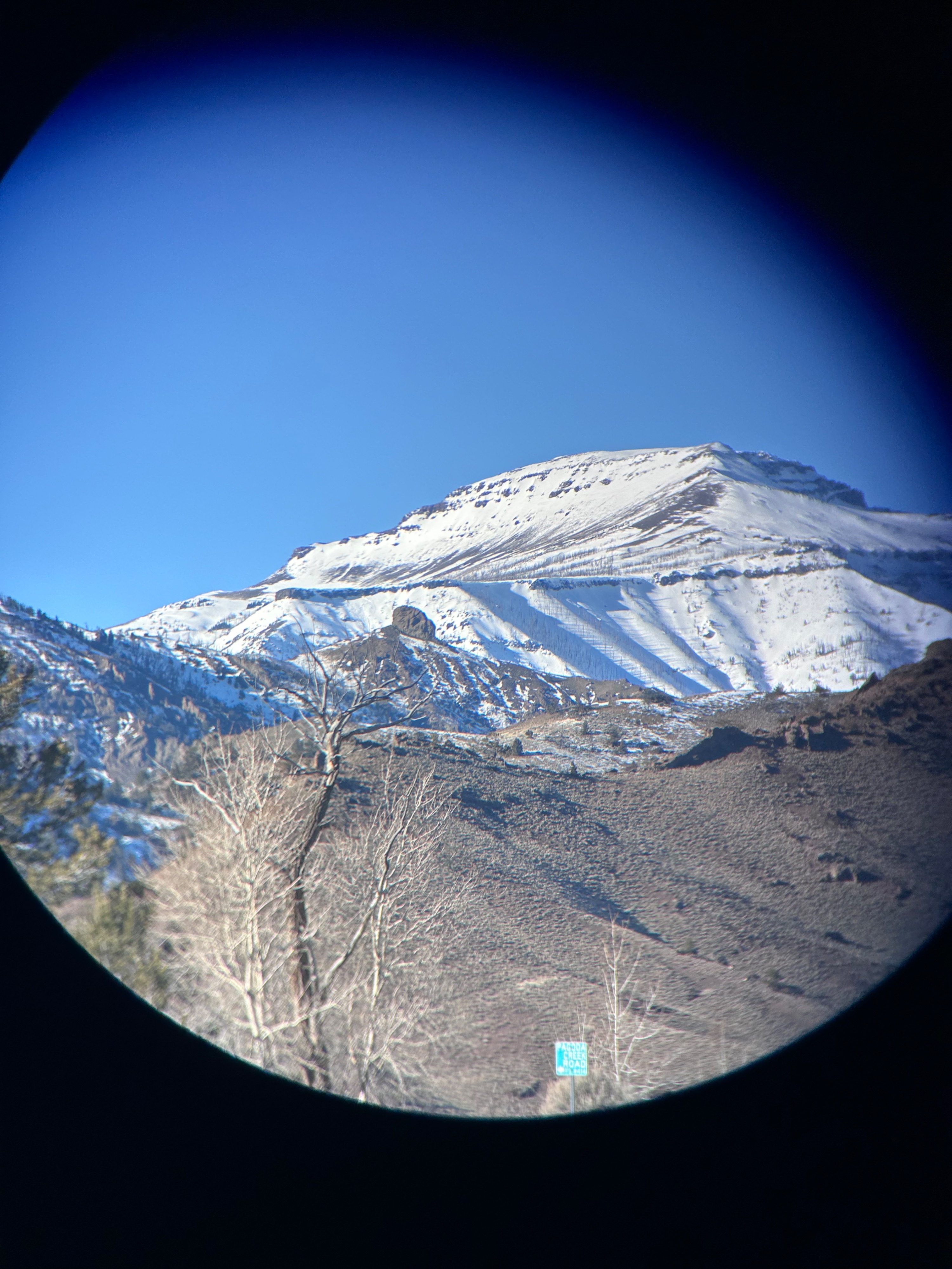
The snowpack is highly variable depending on aspect and elevation. Lower elevations and south facing slopes are showing a very thin snowpack due to warm temps and frequent rain events during December. Higher elevations (above 8,500 ft) and aspects on the north facing side of the compass have a much more established snowpack ranging from around 70 - 90 cm deep. Due to the amount rain and the warmer temps, the snowpack in many locations seems to be adjusting well (generally becoming more dense towards to bottom), with very little faceting taking place at the ground level. However, this can change very abruptly depending on aspect and elevation. Warmer temps have limited the amount of surface hoar present, but it still persists in specific locations throughout the area and freeze/thaw/rain crusts are present throughout the snowpack which could create instability issues as new snow is added to the snowpack.