
Quick report
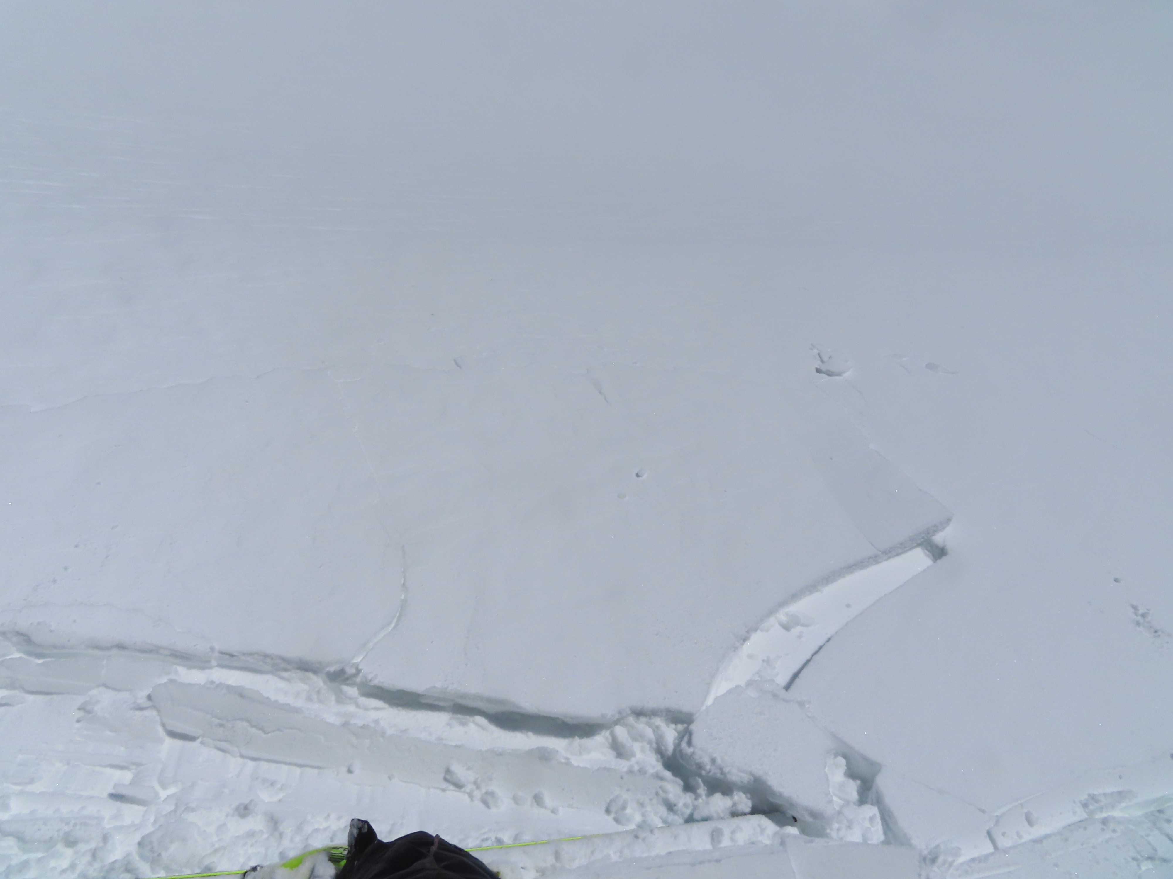
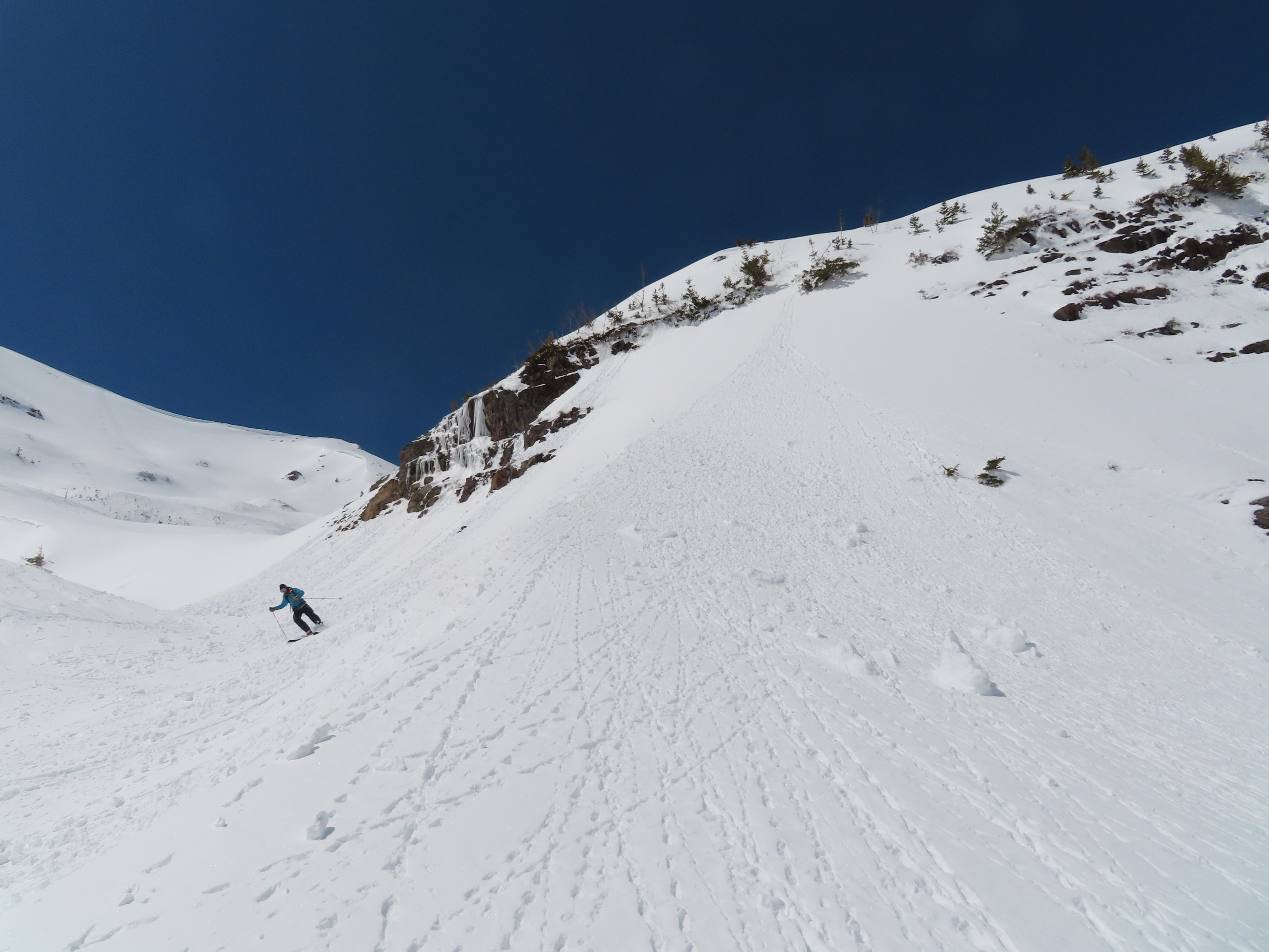
We rode in steep terrain with no signs of instability, while avoiding obvious drifts in high-consequence areas and while avoiding obvious shallow/rocky areas. Stability tests suggest last weekend's wind slabs (1' to 3' thick) are well bonded to the crusty storm interface on east aspects and are slower to bond on north aspects (wind crust over near-surface facets). I stomped around on several drifted terrain features on both aspects without any signs of instability except for some minor cracking in the top few inches.
Some shallow rollerballs on a handful of east-facing slopes BTL, and from a couple of rocky east-facing slopes ATL.Weather
- Cloud Cover
- few
- Wind Loading
- none
- Recent Snowfall
- 15 to 30
- Snow Avail For Transport
- small smounts
Clouds started increasing from the south this afternoon after a mostly clear morning. Light breeze up high. Mild temps.
Snowpack
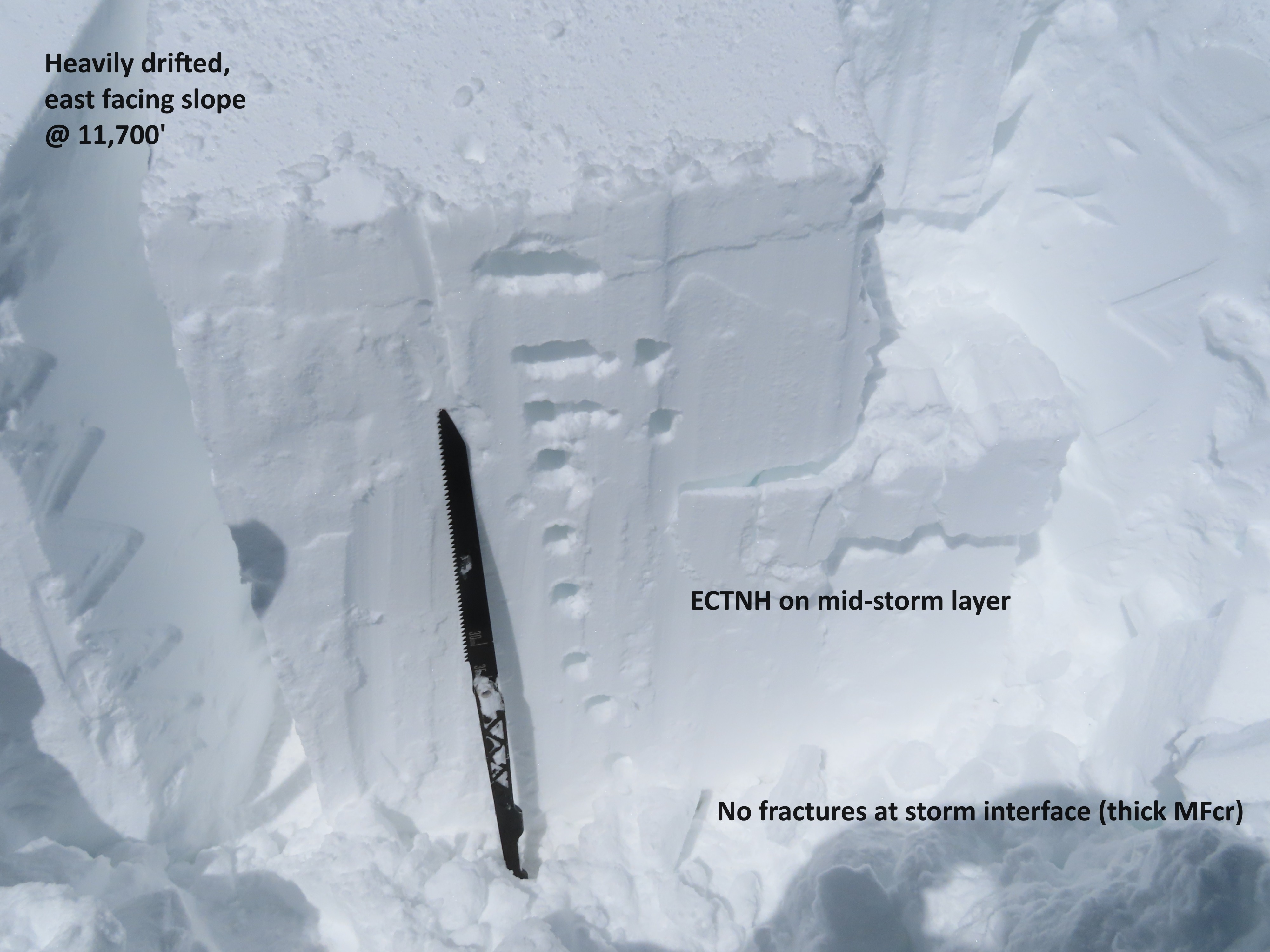
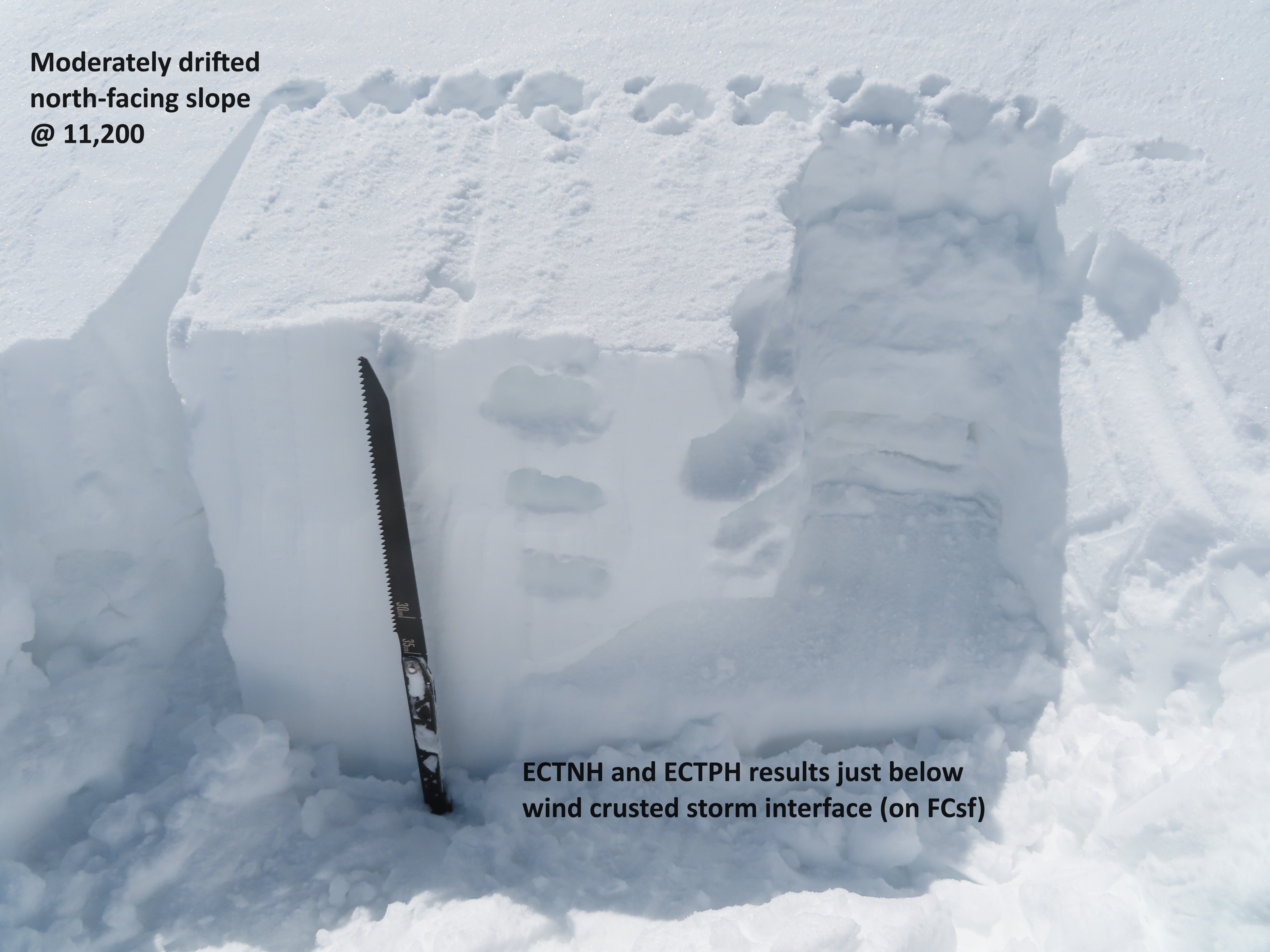
HST ranges from 15 cm at valley floor to 30 cm in sheltered terrain near treeline. Winds have eroded and redistributed much of that snow on exposed locations at all elevations, and in most areas, the storm snow is relatively dense from wind affect. I tested a heavily drifted east-facing slope (large fetch) and got hard, non-propagating results on mid-storm layers. There, the slab was 1F hard and 80 cm deep. I tested a moderately drifted north-facing slope (small fetch) and got a mix of hard propagating and non-propagating results on weaker, near surface facets below the windcrusted storm interface. See photos.
Avalanche
- Size
- D2
- Type
- WL
- Aspect
- SW
- Trigger
- N
- Elevation
- 11200 ft
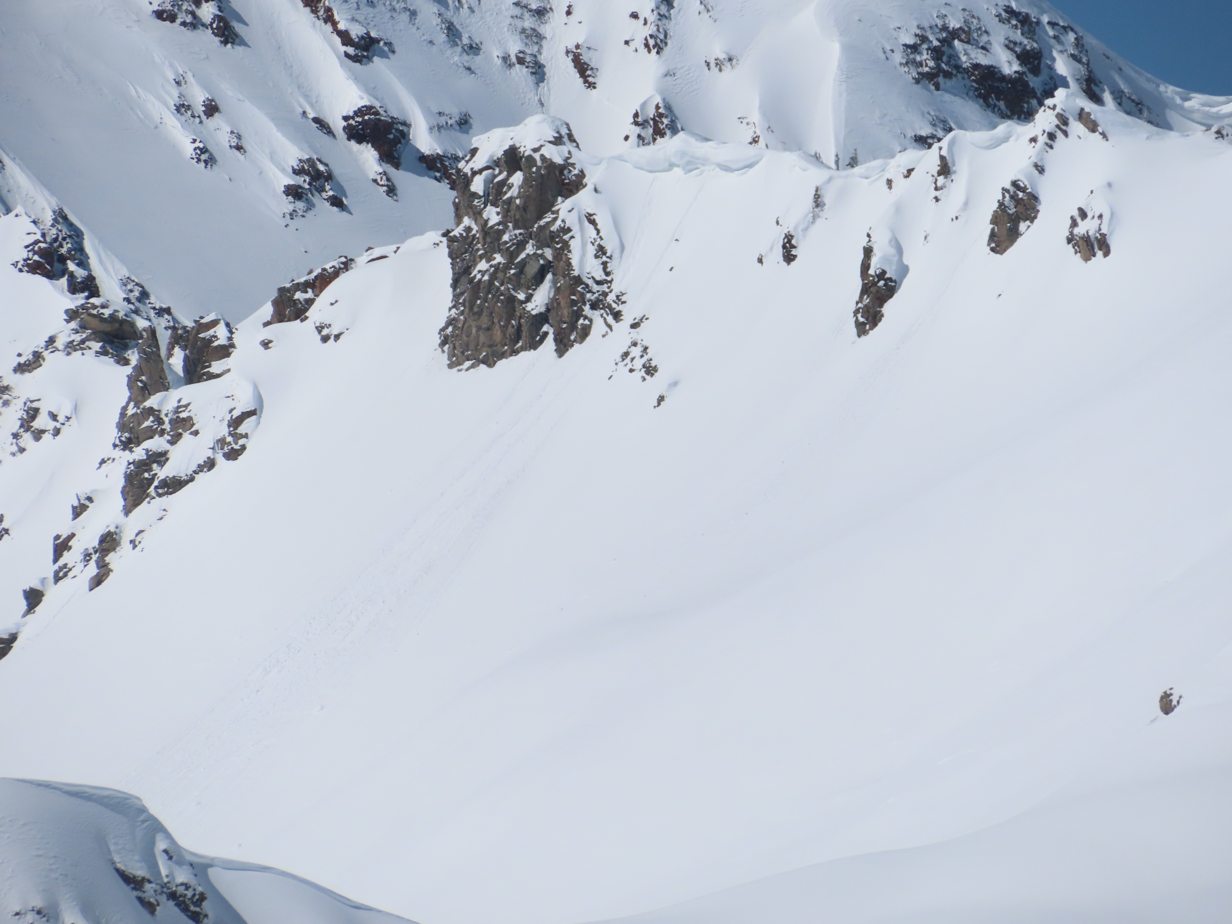
We had good views of north and east-facing terrain in the Ruby Range and didn't see any new avalanche activity from the most recent storm except one moderate-sized cornice fall.