
Quick report
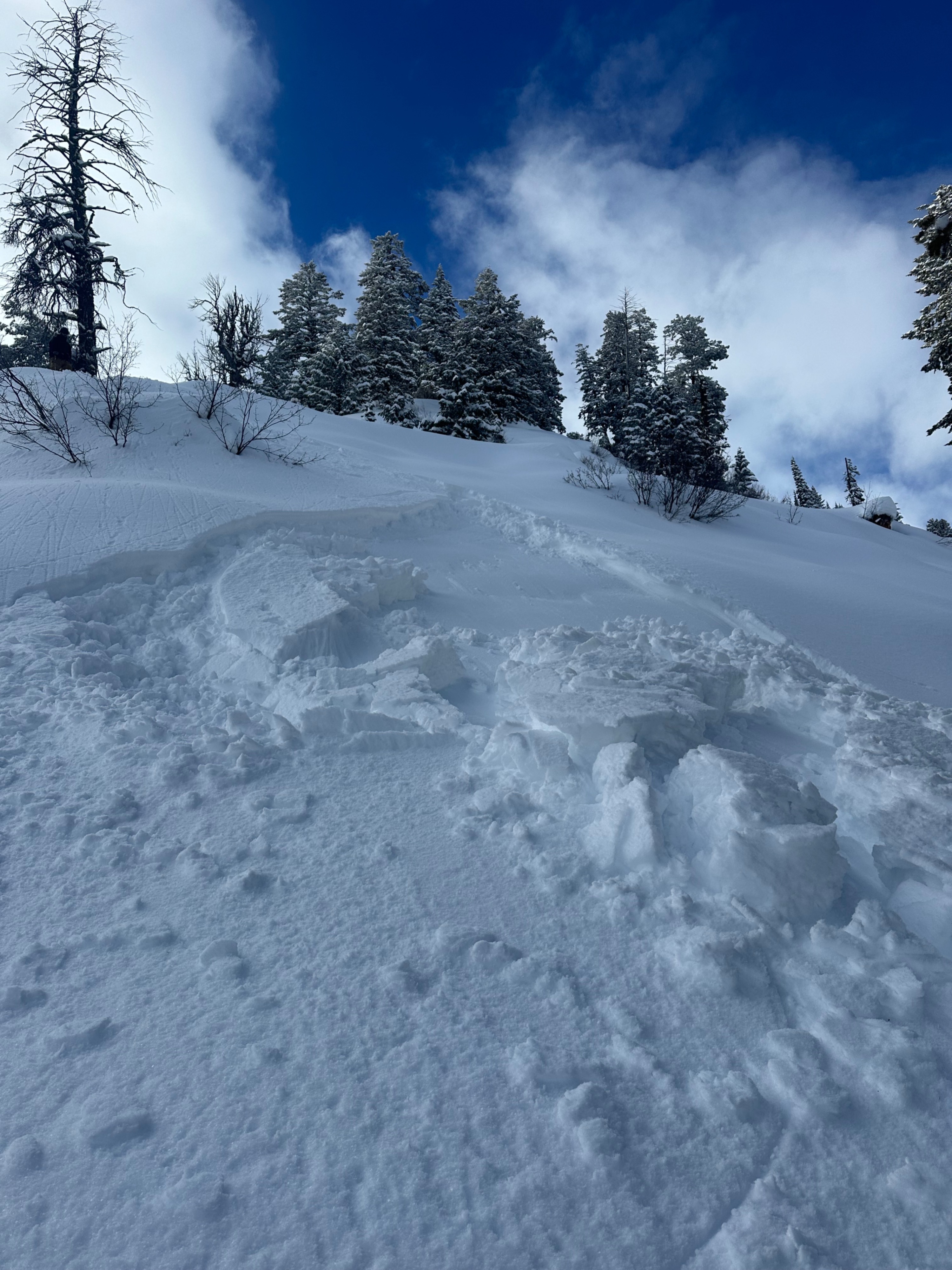
- Cracking
- specific
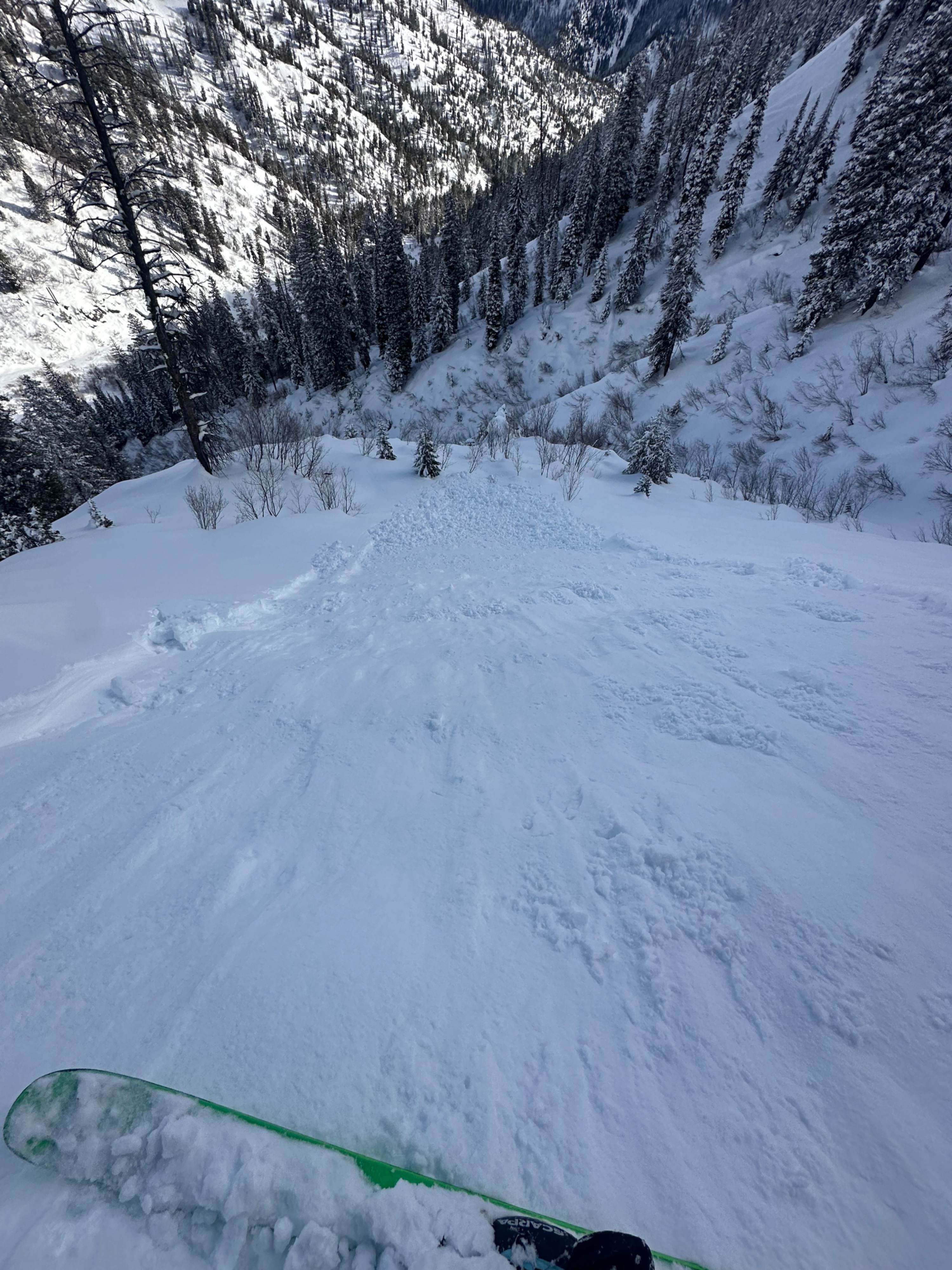
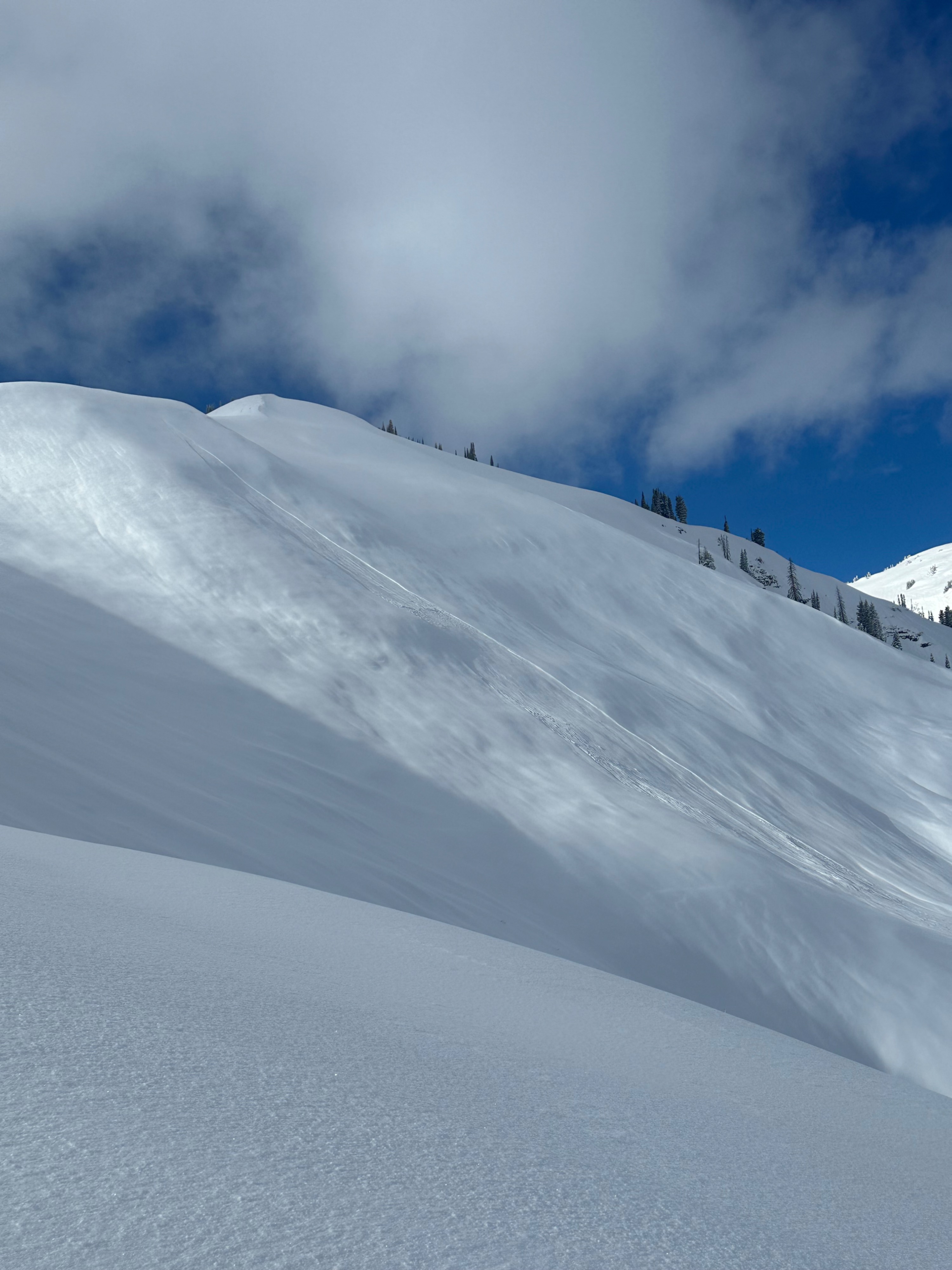
Knee-deep trail breaking above 8,000 feet, and a slab of new snow setting up with increasing temps and sun throughout the day. Noted several loose avalanches that traveled long distances and an older (pre-this storm) larger avalanche adjoining a middle ridge covered with new snow but appeared deeper on an E aspect ~ 9,000 feet. Sensitive conditions at middle to lower elevations, particularly in the heat of the day on southerly aspects, and I could ski cut small pockets of snow down a relatively flat ridge that moved quickly and entrained new snowfall easily.
Right now, new snowfall is settling on various interfaces that harbor weak snow from last week's several days of heating (forming crusts on S aspects) and clear weather (near-surface facets and SH elsewhere) across every zone. Though not as developed as our primary PWL issue, this interface is expected to remain sensitive with further loading of new snow and wind.
Weather
- Cloud Cover
- scattered
- Wind Loading
- previous
- Rain Elevation
- 8,500
- Recent Snowfall
- 6-10''
- Snow Avail For Transport
- moderate amounts