
Quick report
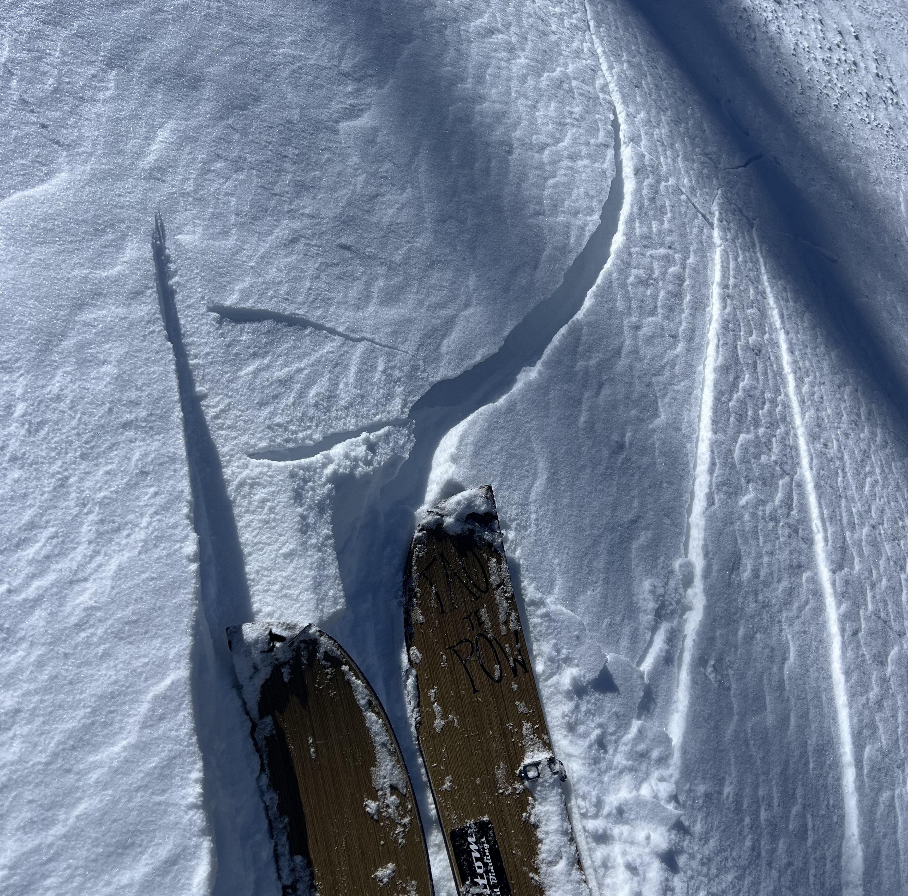
- Cracking
- specific
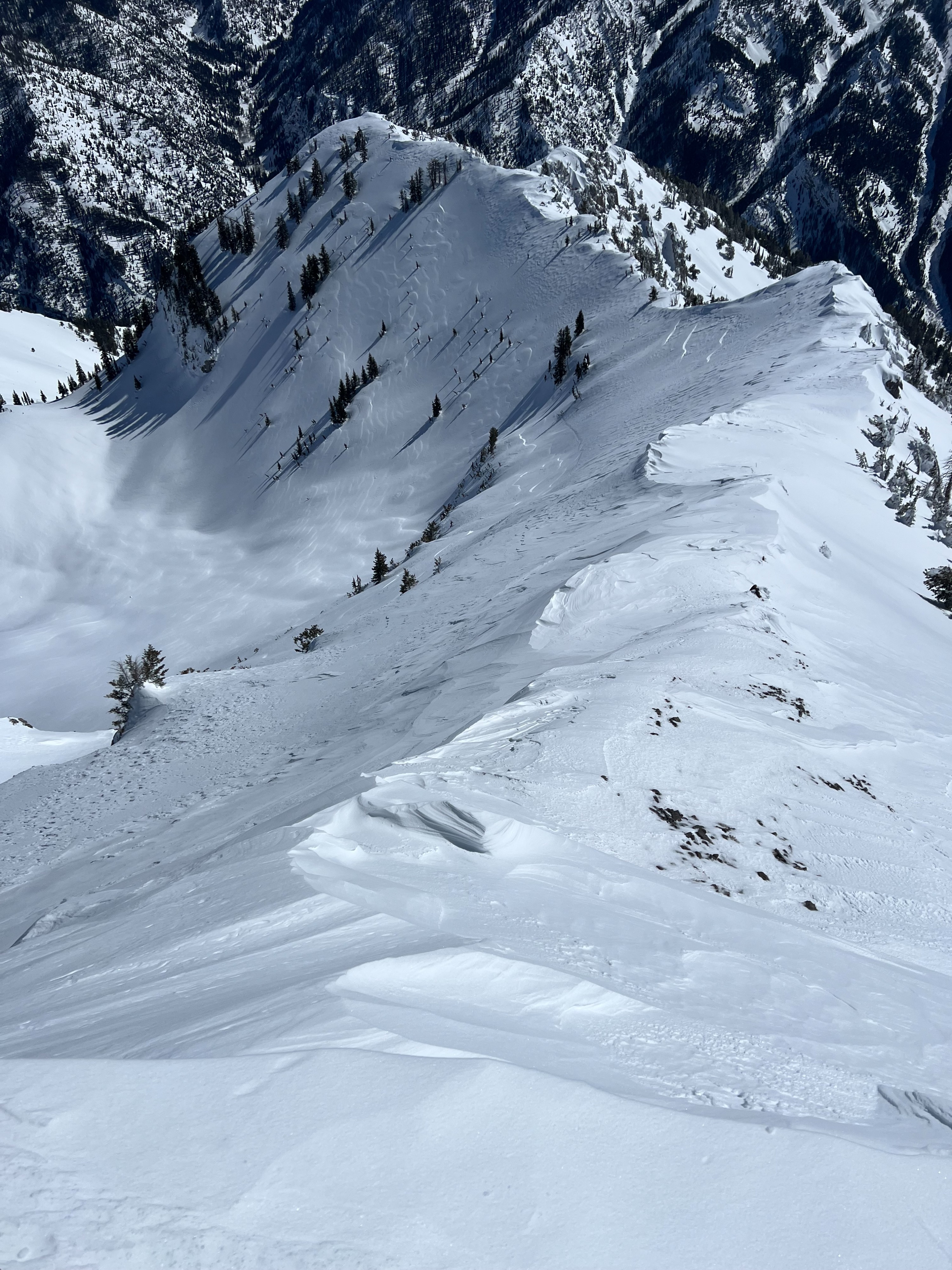
Increased NE winds last night into the morning definitely worked the recent snow. Signs of wind affect were obvious in the middle to upper elevations. No reactive slabs in middle elevations. Found reactive wind slabs on leeward (SW) slopes off ridgelines above 9000'. Slabs were limited to specific areas as well as shallow and less than 8" deep. Northerly aspects were scoured with fresh wind board. Sastrugi found around 10,000' on open and exposed terrain. Clear skies all day with strong solar penetration becoming very wet by the afternoon on southerly aspects in the low and middle elevations. Roller balls observed but no new wet loose. Expect a melt freeze crust on southerlies (uncertainty in how high it will develop). Upper elevation southerlies warmed but not signficantly. Light winds helped keep snow surfaces cool up high. Temperatures weren't overly warm, and northerly aspects stayed cool down 7,000'.
Another cold night forecasted dropping to the teens which will decrease wind slab sensitivity. Still should remain on radar for tomorrw especially if traveling in the higher elevations. NE winds always work in peculiar ways around this area.
Also cornices are massive right now.
Cracking observed above 9,000' on specific wind loaded terrain (ridglines, open and exposed steep slopes).