
Quick report
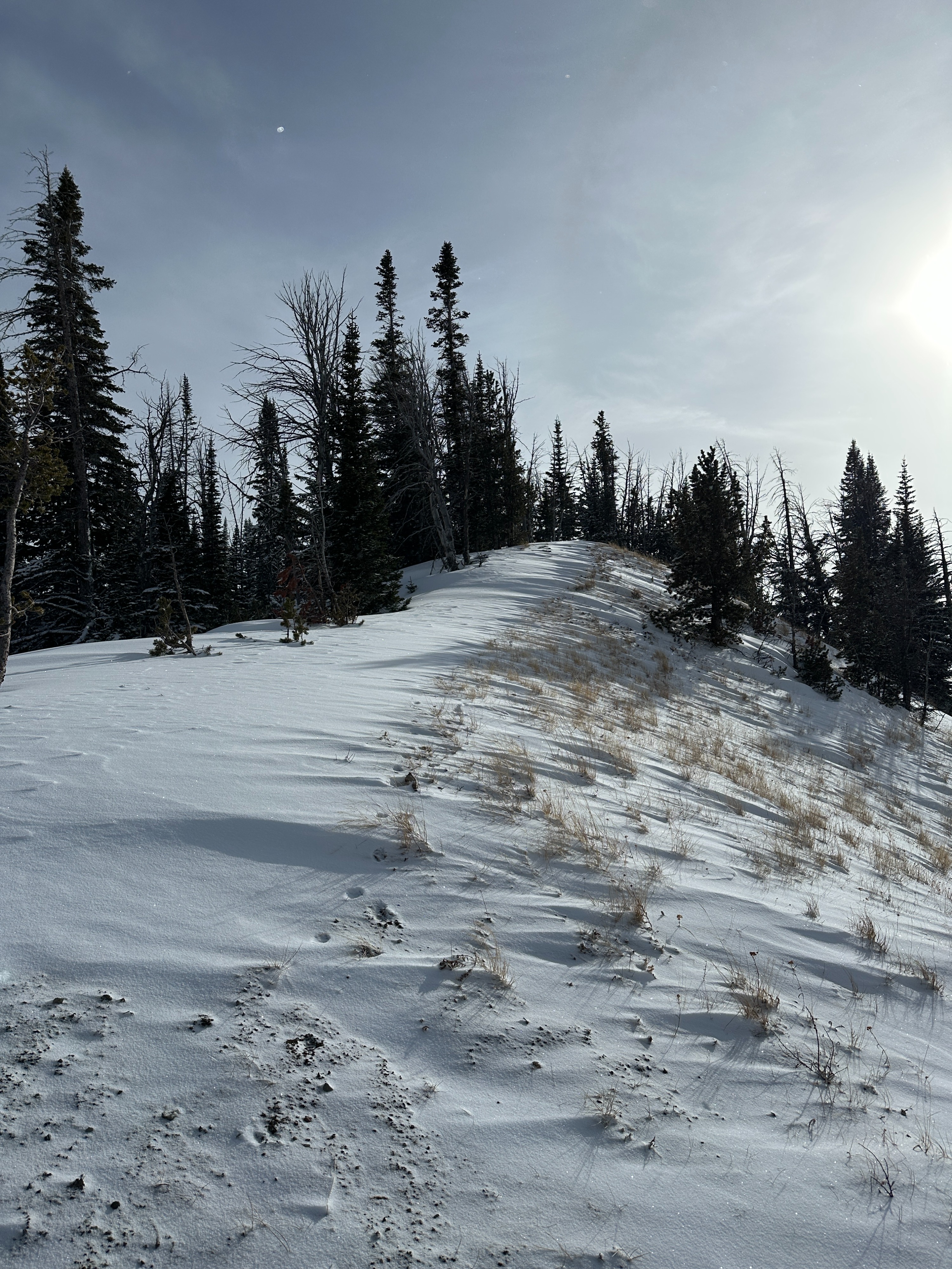
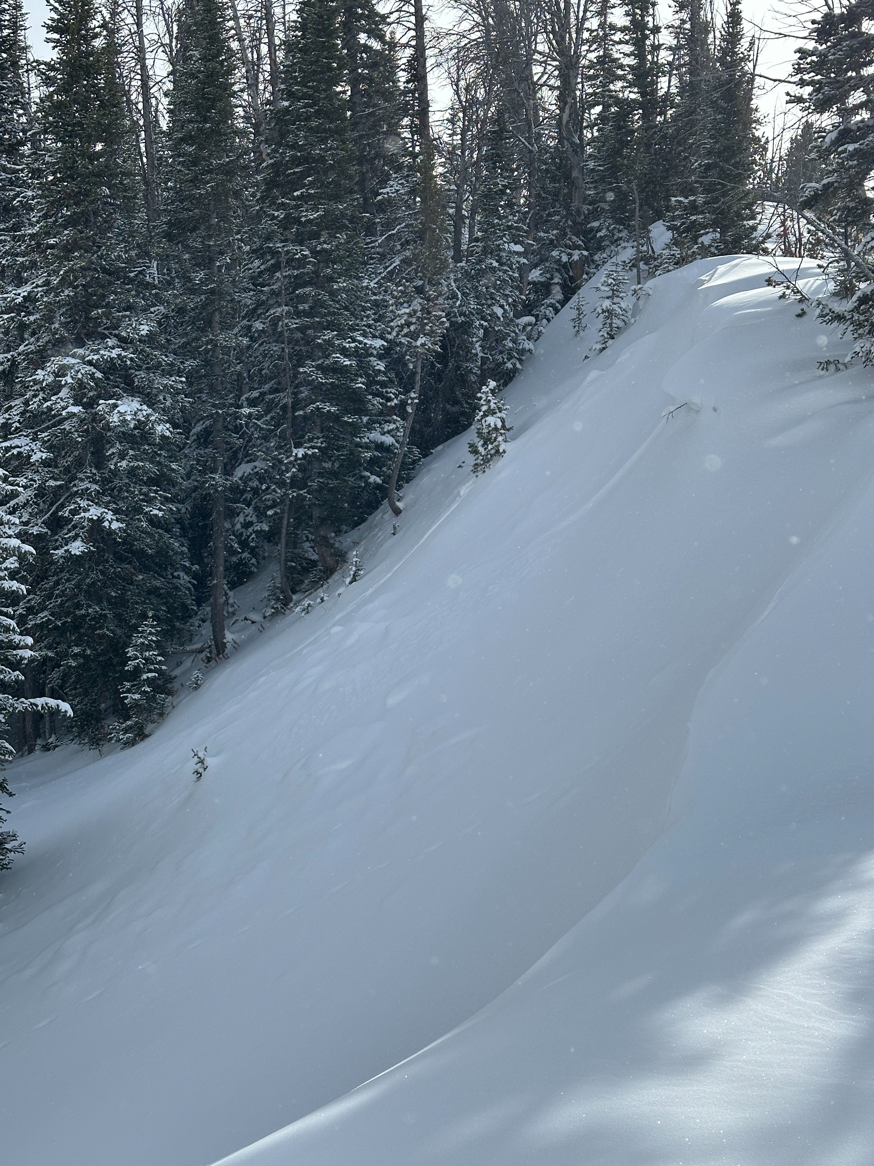
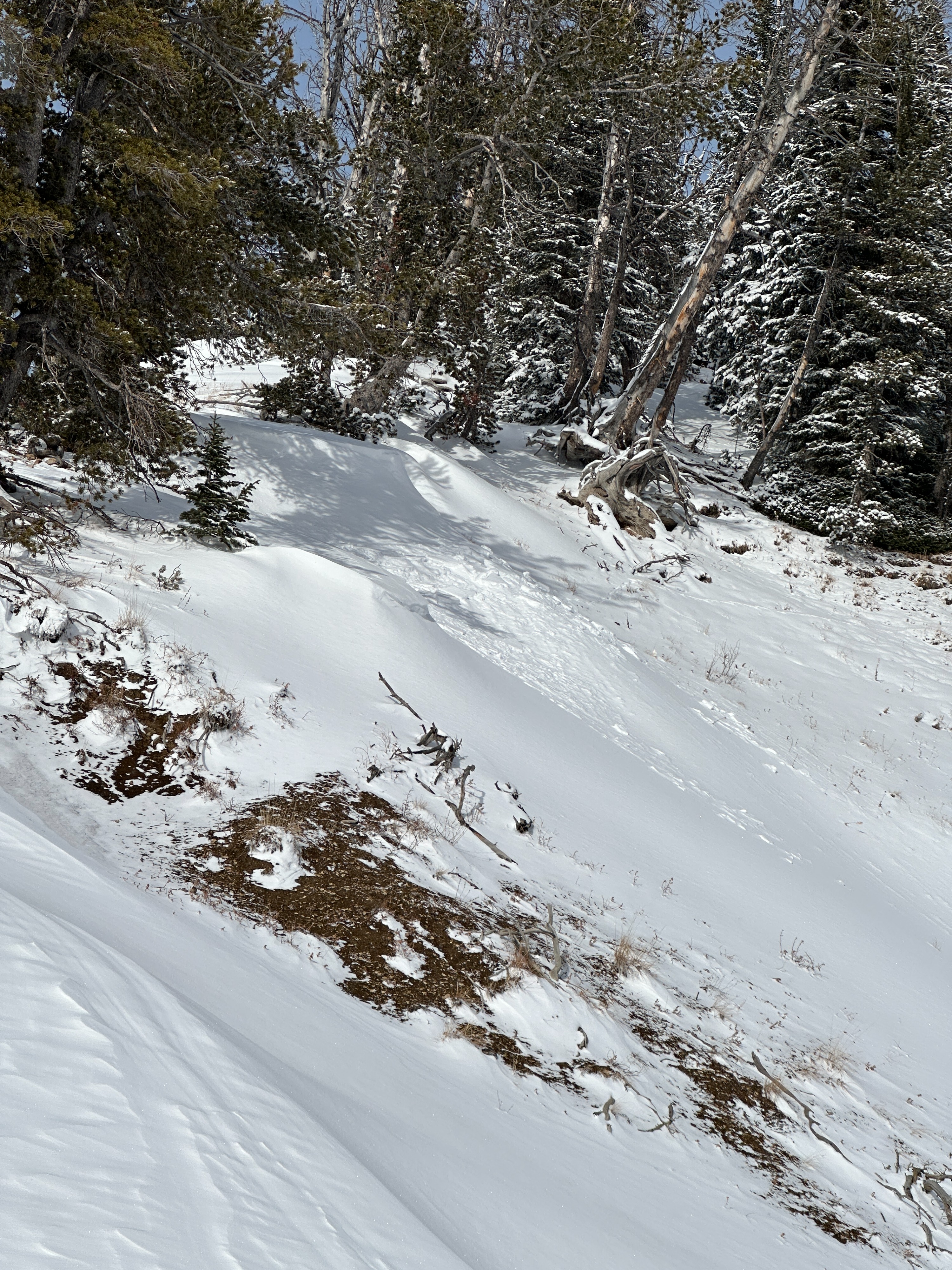
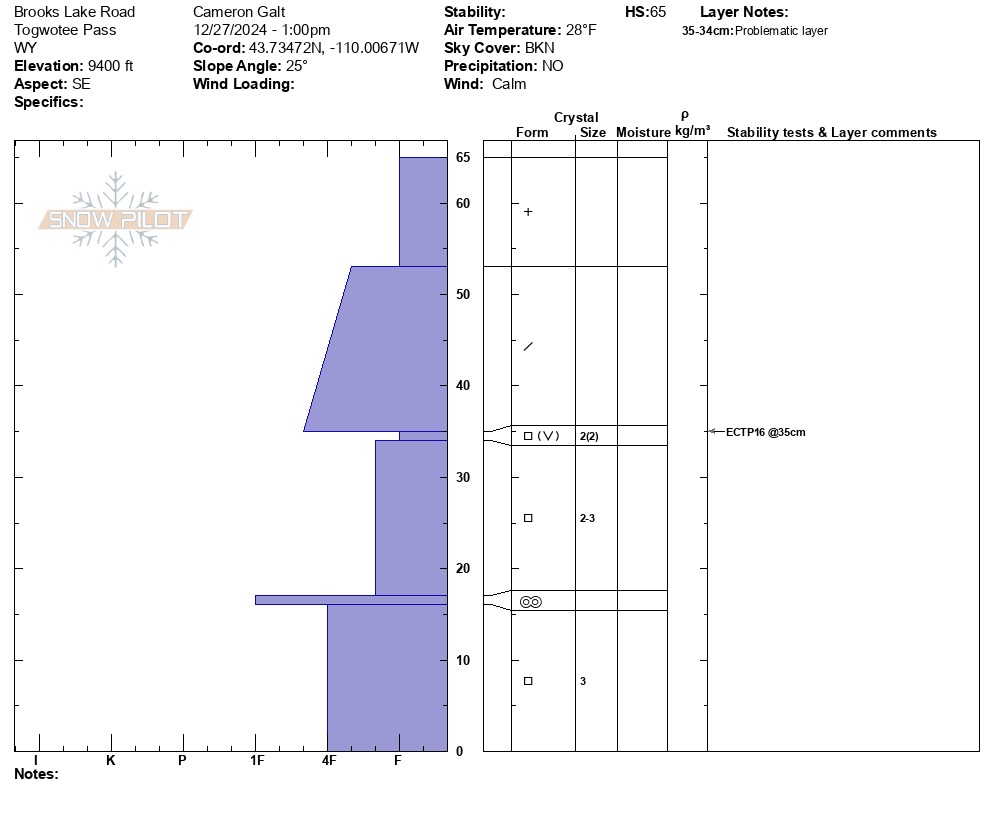
Traveled up to the Brooks Lake weather station to clear the interval board then rode over to look at Barbers Point. At the weather station, the total snowpack depth (and interval board depth) was 26" with 5.3" of snow water equivalent. While checking Barbers Point, we noticed two small pockets of wind-slab that had triggered naturally. These slides were very small (see photos below) and traveled no more than 50 ft. The remained of the north-facing terrain on Barbers Point was wind-loaded - large cornices have formed, the south-facing slope is stripped of snow, and pillows have formed in the northern start zone. Additional snow and wind over the next few days could dramatically increase the sensitivity of these steep wind-loaded areas. We continued to a 9400' SE facing slope to dig a pit and better understand the distribution of persistent weak layers at Togwotee (pit profile below). Notably, the total snowpack height was 25". Snowpit tests yielded propagation on medium taps (ECTP16) 12" down. Additional snow loads will likely make these weak layers more sensitive.
We noticed two very small pockets of wind-loaded snow triggered on Barbers Point. These were no more than 20 feet wide, 6" deep, and ran about 50 ft. . Based on the 3" new snow covering the debris, it's likely these pockets released at some point last night. We did not notice any other signs of instability.Weather
- Air Temp
- 20 - 30 F
- Cloud Cover
- broken
- Wind Loading
- light
- Recent Snowfall
- 10
- Snow Avail For Transport
- moderate amounts
Light snowfall in the later morning tapering off by noon. Temperatures were warm with a high of 31 F at 2:00 pm. Clouds were broken through early afternoon. Around 3:00 pm a storm system was moving into the area bringing very light snowfall. Winds were calm throughout the day.