
Quick report
We toured up Falls Creek today with a couple of objectives in mind: monitoring the steep southerly aspects for recent avalanche activity, assessing the current state of the persistent weak layers in the snowpack, and getting eyes on a couple of avalanches that were reported during the last loading event on March 19.
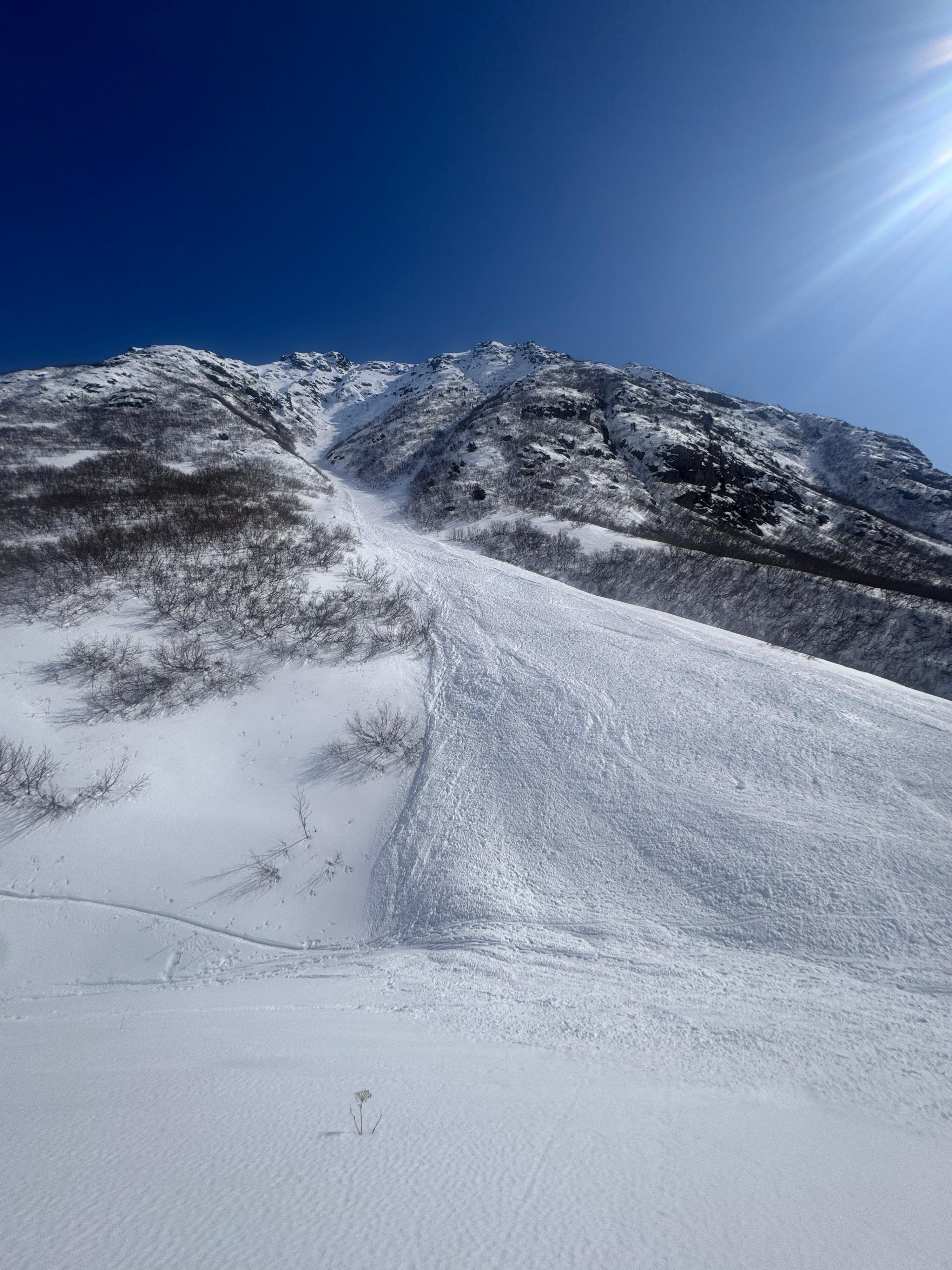
The Falls Creek trail is in fair condition, and we easily booted up the first 2,000 feet without the need for microspikes or chainsaws. After transitioning to skinning, we quickly arrived at an old wet loose avalanche that came quite close to overtaking the trail. The avalanche appeared to be a point-release D2 wet loose from up high that entrained quite a lot of snow, with about 3 feet of debris where it came to rest.
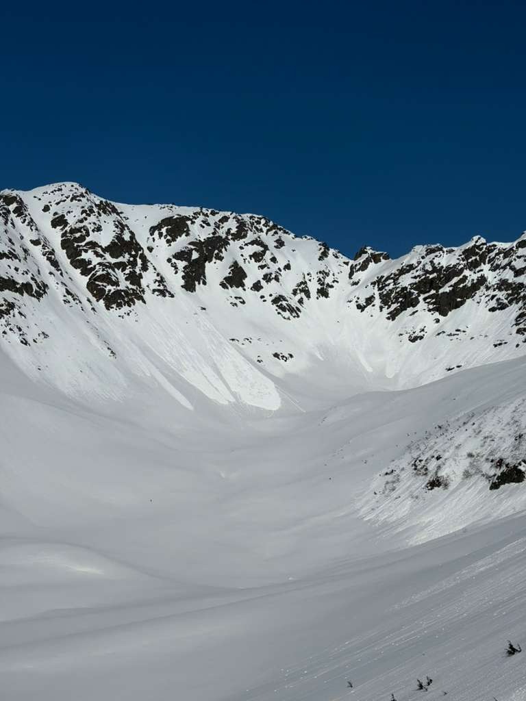
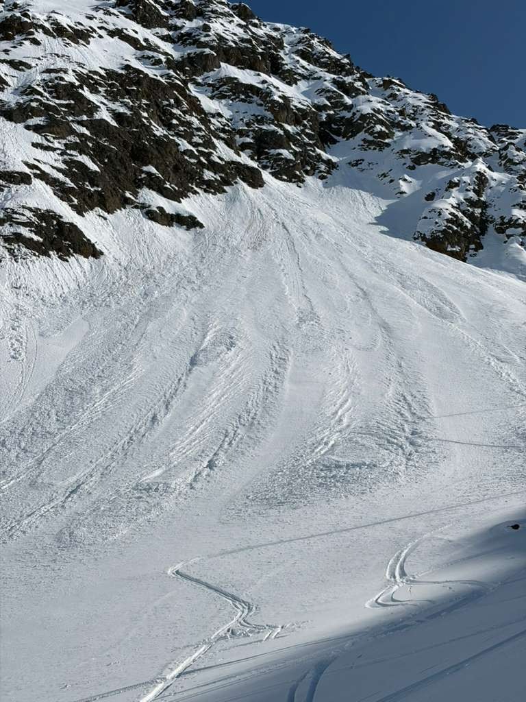
Continuing on toward Indianhouse, we observed widespread wet loose activity on steep, rocky solar aspects. Most were small D1 avalanches, but we observed one larger D2–2.5 (estimated to be about two weeks old) dry loose on a west-facing aspect of Indianhouse. We dug snowpits at 3,000 feet on a north-facing aspect and found generally poor structure but stable test results. We skied a north-facing pocket of faceted powder that exceeded expectations by a significant margin.
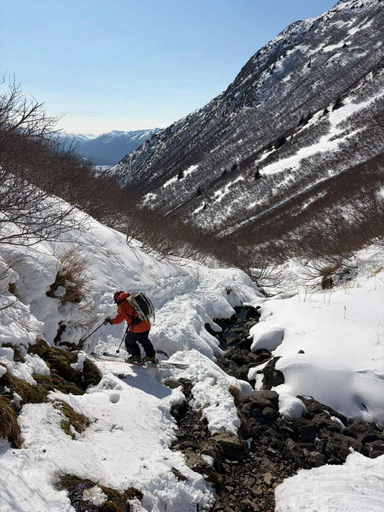
While skiing and bootpacking back to the car, we noted that all but the bottom third of the snowpack in the Falls Creek canyon was wet snow. Although many of the slide paths above Falls Creek have already slid, it's that time of year when overhead wet loose activity might necessitate an early start to the day.
Weather
- Air Temp
- 21-45
- Cloud Cover
- few
- Wind Loading
- light
- Rain Elevation
- N/A
- Recent Snowfall
- 0
- Snow Avail For Transport
- small smounts
Clear skies with light to moderate wind gusts out of the northeast. It was downright chilly where we dug our snowpits at 3,000 feet on a northerly aspect. Solar slopes were heating up quickly throughout the day
Snowpack
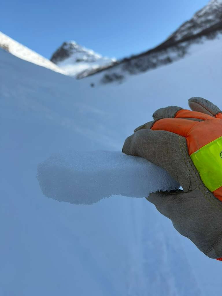
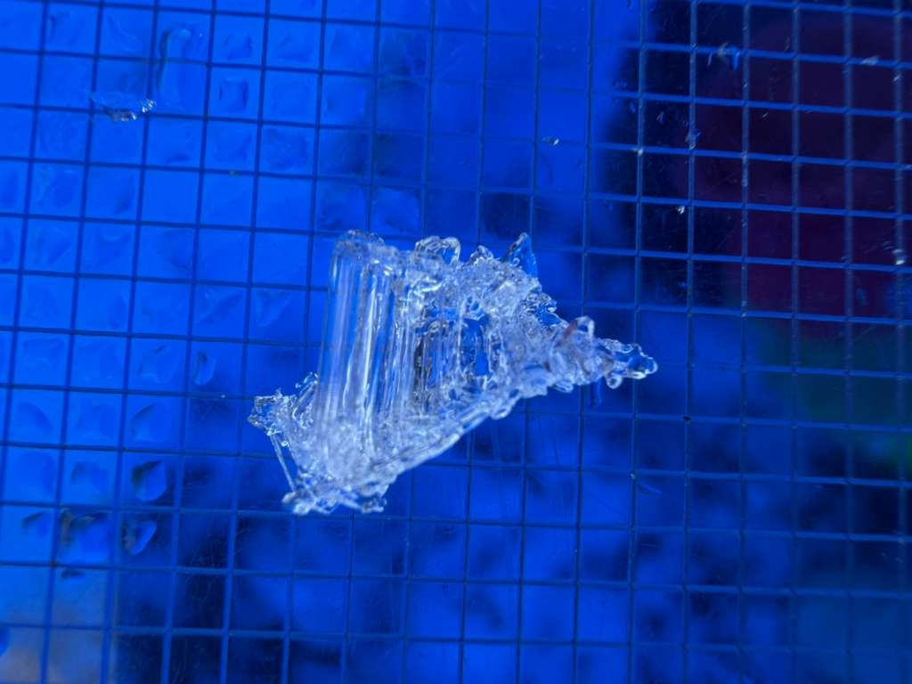
We dug two pits on a north-facing aspect of the shoulder of Indianhouse at 3,000 feet. The structure was generally consistent between the two pits. Much like elsewhere in the State Park, the December facet layer and significant depth hoar were present. We also noted a more recent facet layer about 15 cm down that produced a couple of non-propagating results in our ECT tests.
Although the non-propagating test results indicate relative stability, it's that time of year when thaw cycles are gaining strength, and solar input can quickly turn these concerning layers into an active problem.
Snowpit #1:
- HS: 132 cm
- Elevation: 2,927 ft
- Aspect: 19° (N)
- ECTN6 @ 15 cm ↓ (non-propagating result in March facet layer)
At this location, the December 12 facet layer was approximately 60–80 cm down, with facets primarily 1–2 mm in size. We also observed fist-hard depth hoar from 25 cm down to the ground, measuring 4–6 mm.