


Quick report
- Collapsing
- Observed
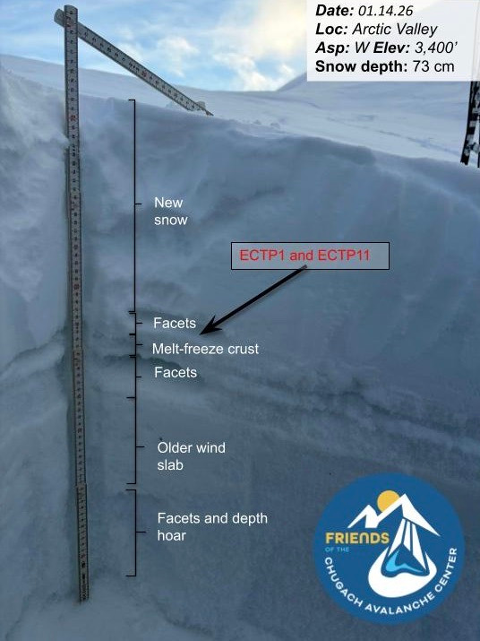
There is roughly 6"–12" of fresh snow available for wind transport, blanketing either bare ground or a weak older snowpack composed of firm, hard, wind-affected layers overlying several concerning layers of weak, sugary facets. Our primary concern is the faceted snow above and below the 11/29/25 melt-freeze crust, which is the likely failure layer for recent remote human-triggered avalanches that were large enough to bury a person. We dug four snowpits, all of which showed propagation on this faceted layer (ECTPV, ECTP1, and ECTP11).
Another loading event is forecast for tomorrow and Friday, with sustained ridgetop winds of 60–85 mph and 8" of new snow containing up to 1" of SWE. Given the weak snowpack structure in gullies and high alpine bowls, combined with significant snow available for wind transport and a weak, sugary, mostly faceted snowpack base, large natural avalanches are likely. Travel in avalanche terrain in Chugach State Park is not recommended.
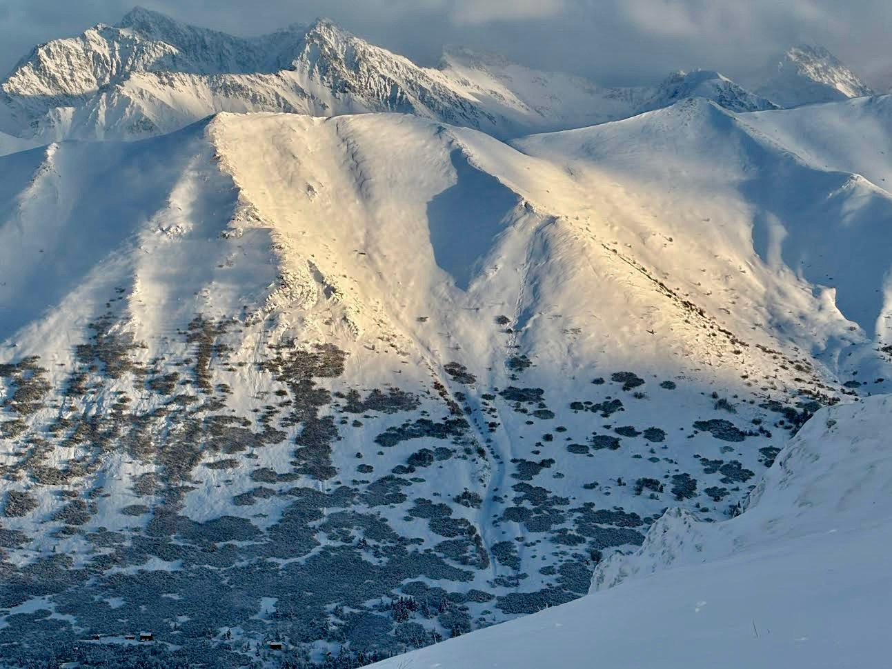
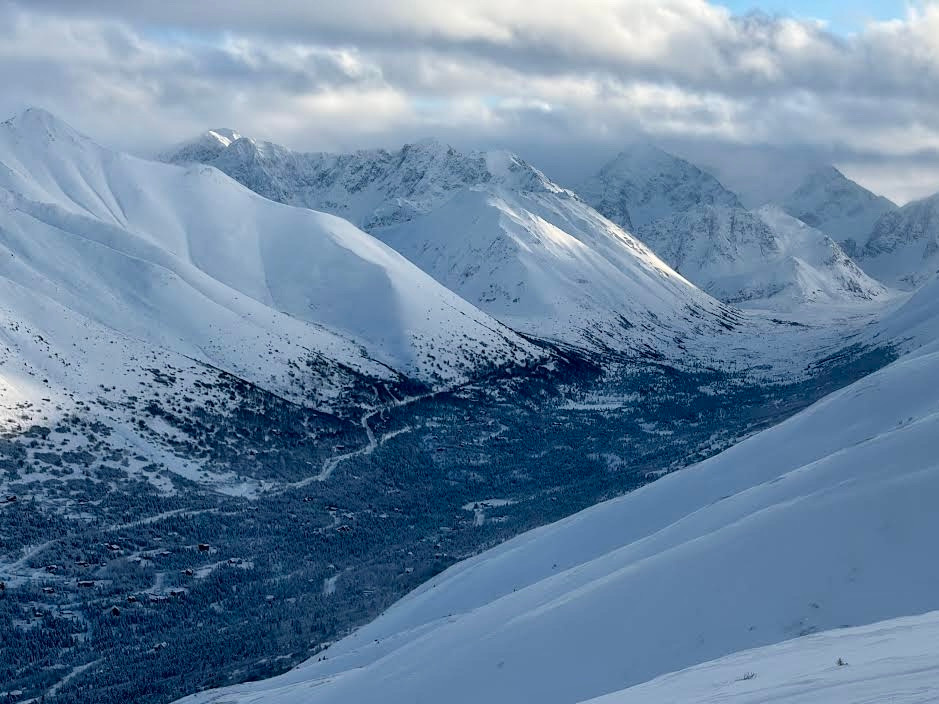
We experienced large collapses and large wumpfs on our tour. When the skies cleared we were able to see roughly five small point release dry loose naturals on the peaks in the South Fork of Eagle River.
Weather
- Air Temp
- 20
- Cloud Cover
- broken
- Wind Loading
- light
- Rain Elevation
- N/A
- Recent Snowfall
- 20
- Snow Avail For Transport
- moderate amounts
Overcast skies and moderate winds from the SE in the morning that taper in the afternoon to broken skies with no wind. Temperatures in the high teens to low twenties F.