
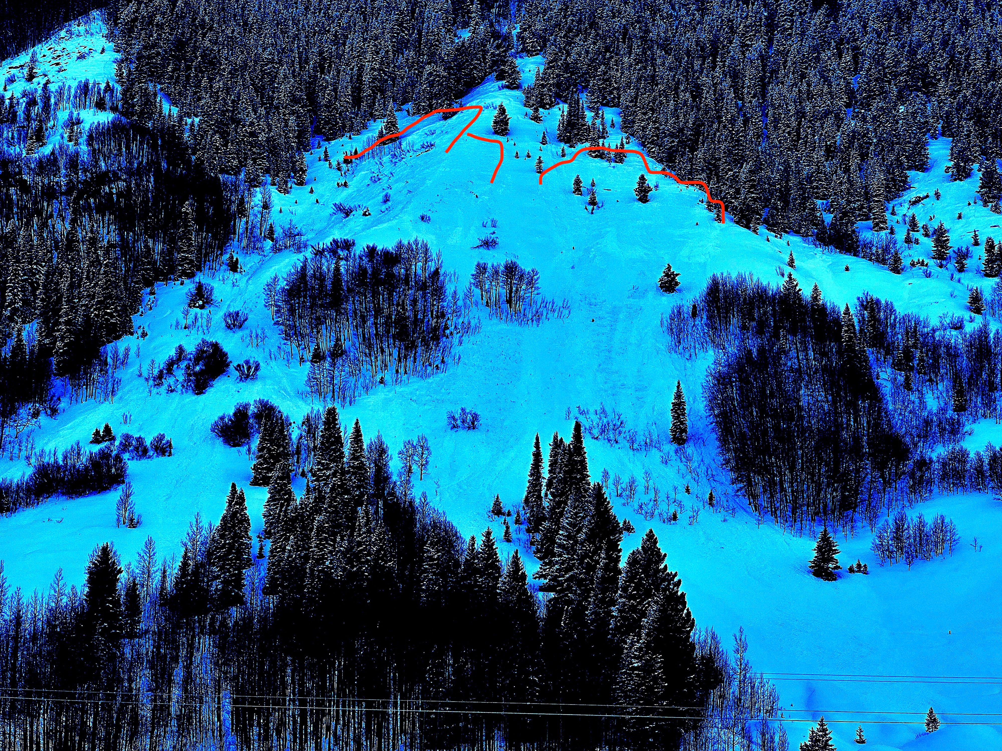
Quick report
I observed lots of small natural avalanche activity on slopes facing north half of compass in wind sheltered areas. In wind drifted areas, I spotted a few large avalanches on east through south-facing slopes (My observation bias from pavement prevented seeing many northerly A/NTL slopes other than Whetstone). Although vis was relatively poor, I had enough views of south half of compass at upper elevations to see that natural activity was not widespread above treeline, but dangerous none the less on drifted slopes.
natural avalanche activityAvalanche
- Size
- D2 R1
- Count
- 9
- Aspect
- E
- Trigger
- N
- Elevation
- 11900 ft
I made several trips between CB South and Mount CB today (I did not have a good camera hence no pics, however I did have binoculars just before sunset to see some things in the distance (noted in individual avalanche obs). Timing is uncertain due to periodic visibility. Lower elevation northerly slopes along HWY 135, lower flanks of Whetstone, Gibson Ridge, and Sunlight Ridge had avalanche activity before noon (I suspect most of this ran in the early AM during peak precipitation). Just before sunset, I was able to spot with binos, a pile of avalanches on westerly terrain NTL on Double Top (mostly D1.5s, maybe 1 D2), a D2 on SE start zone of Whetstone's X Chute, a D2 with drifted-over crown on a south aspect of Red Ridge NTL, and a D2 on drifted south-facing Teocalli. I could see many other suspect-looking textures in the snow at upper elevations but poor vis prevents confirmation, However, I did get great vis of southerly terrain in Twin Lakes drainage, Pearl Mountains area along Elk Crest, and White Mountain without seeing any avalanche activity. Additionally, there are countless other tiny-small avalanches on north half of compass in sheltered terrain.