Inversion
ngottlieb,
Monday 6th January, 2025 9:00AM
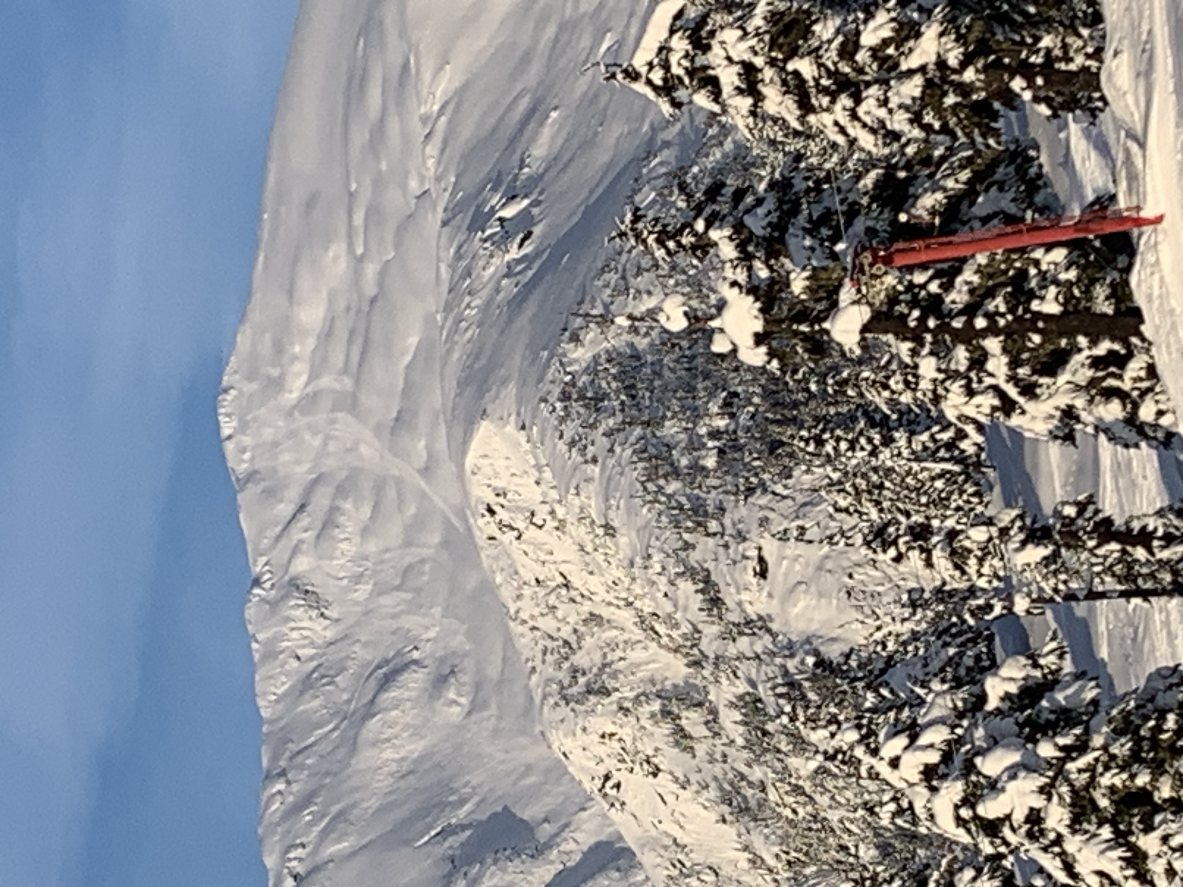
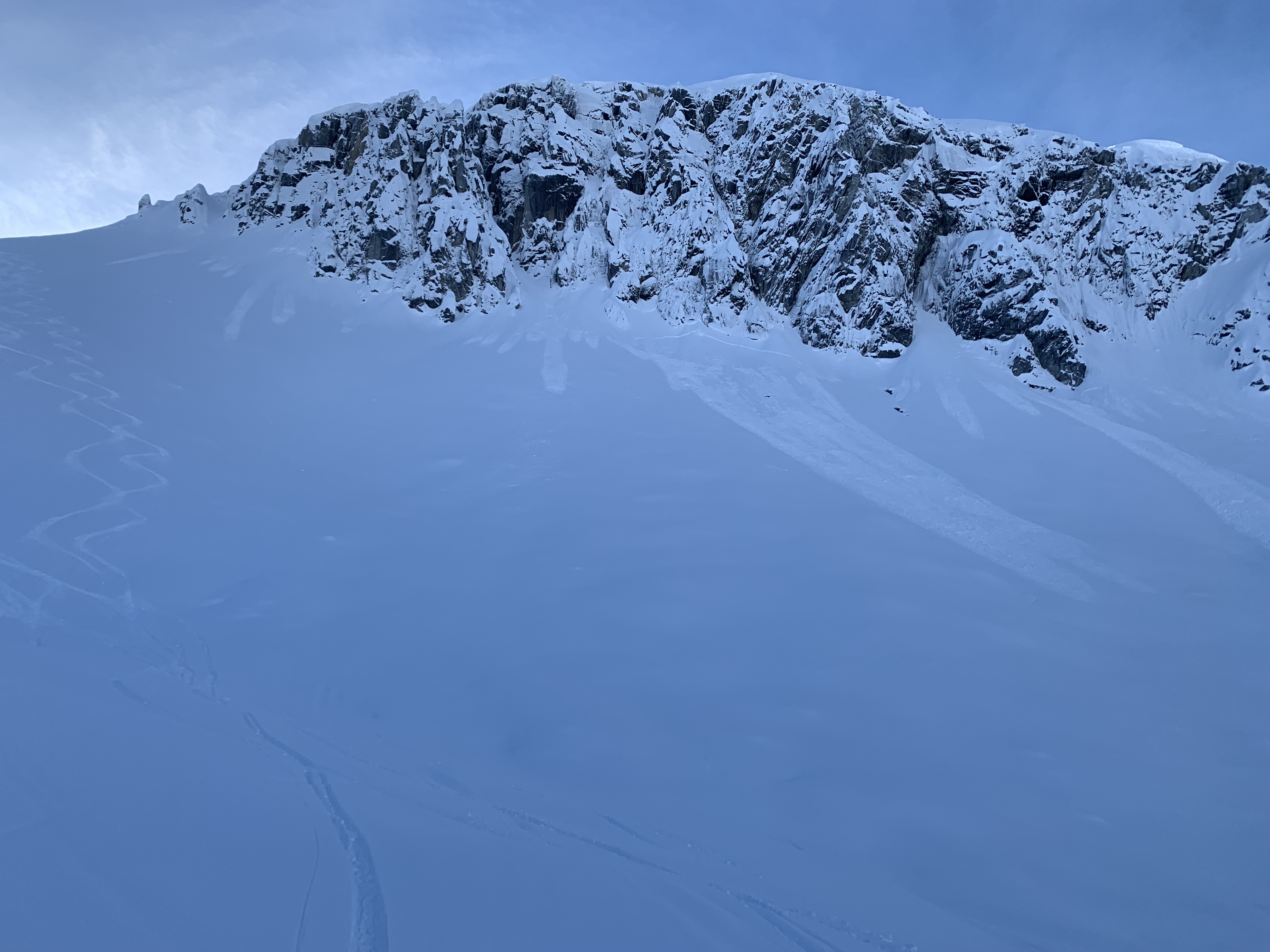
Widespread point releases on solar aspects to size 1 observed around dawn today meaning they likely went yesterday afternoon. Largest cluster was a few overlapping ones from the high point of Super Bowl (pictured). Also many size 1 storm slabs in the new snow on more polar aspects (second picture - north facing in Zymacord).
Major inversion this morning - temps were moving around but +1-+3 up at 1450m around midday. Clear, sunny, and no wind in the morning with a thick high cloud layer and moderate winds coming in by afternoon.
North facing terrain is still skiing very well - settled, supportive powder. Probed a bit in the zym basin again from 1150-1200 and found 230-260cm snowpack with the early December crust down 120cm.
We also skied west and south facing terrain and found more variable, wind effected surfaces, with between 5 and 15cms of new snow on top.
By the time we left at 2pm, snow in the alpine and upper tree line was staying cold thanks to a breeze, but it may have continued to warm up in the afternoon with green housing under the clouds.
Location: 54.50469391 -128.94586423