
Weather
- Cloud Cover
- obscured
- Wind Loading
- previous
- Recent Snowfall
- 8
- Snow Avail For Transport
- moderate amounts
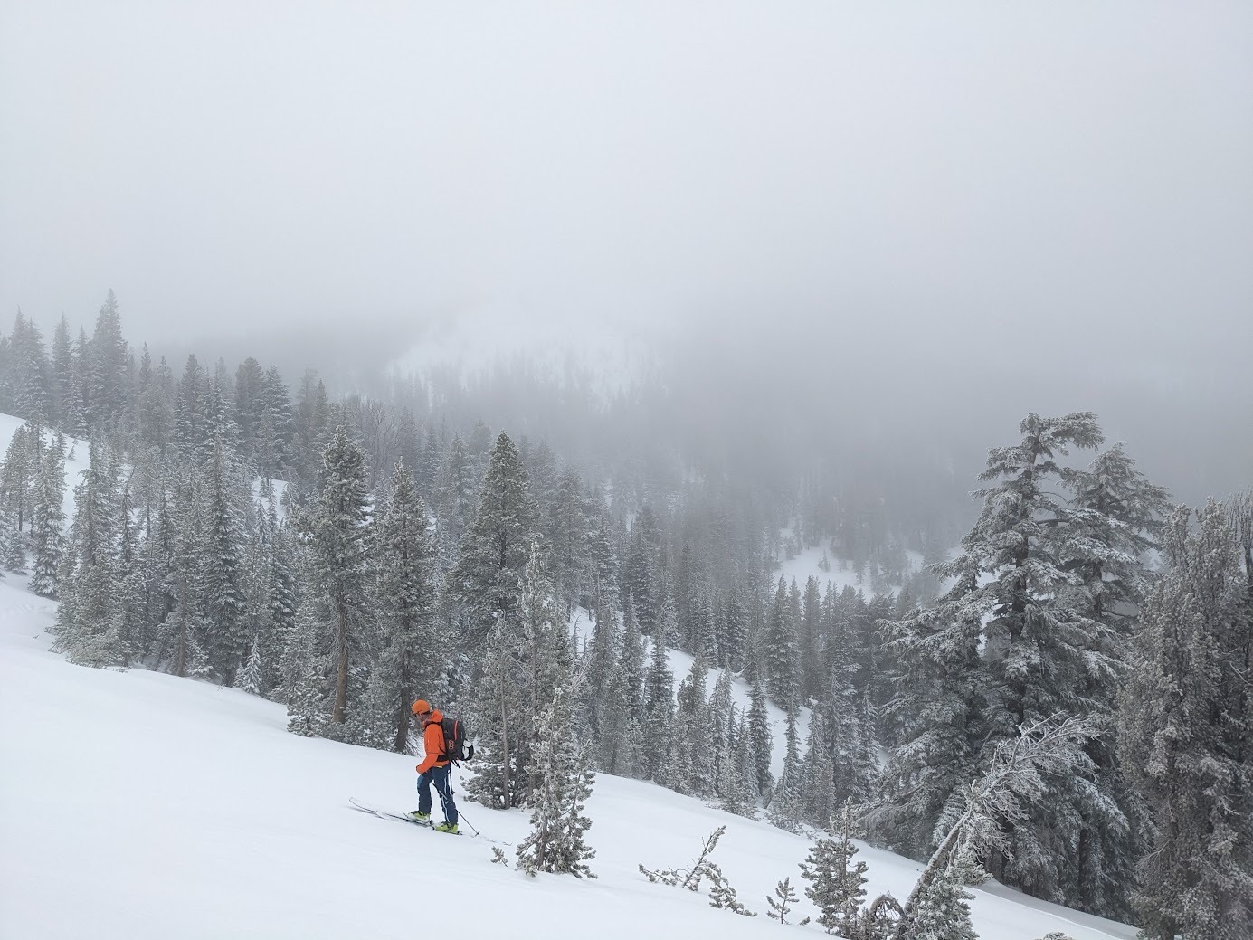
Full cloud cover with low lying fog throughout this area throughout most of the day. Light mist was felt occasionally through our tour. Winds were mostly light from the SW.
Snowpack
The current storm underperformed with up to 4'' of recent storm snow at this location. The high density nature of the recent snow smoothed out the previous snow surface and made for good travel conditions. We dug snowpits at 2 different locations to monitor the basal facet/depth hoar layer, the Jan 2 pwl, and the recent storm snow. At both locations, snowpack tests showed limited unstable test results. The basal facet/depth hoar layer and the Jan 2 pwl both have gained strength in this area. Wind slabs were mostly small with the largest up to 10'' deep. Limited cracking occurred in wind loaded areas with wind slabs mostly unreactive in the areas where we traveled. Small to moderate amounts of snow remains along ridgelines for future wind transport if winds increase again. Light misting and warming temperatures through the day made for a slightly heavier snow feel in the early afternoon.