
Quick report
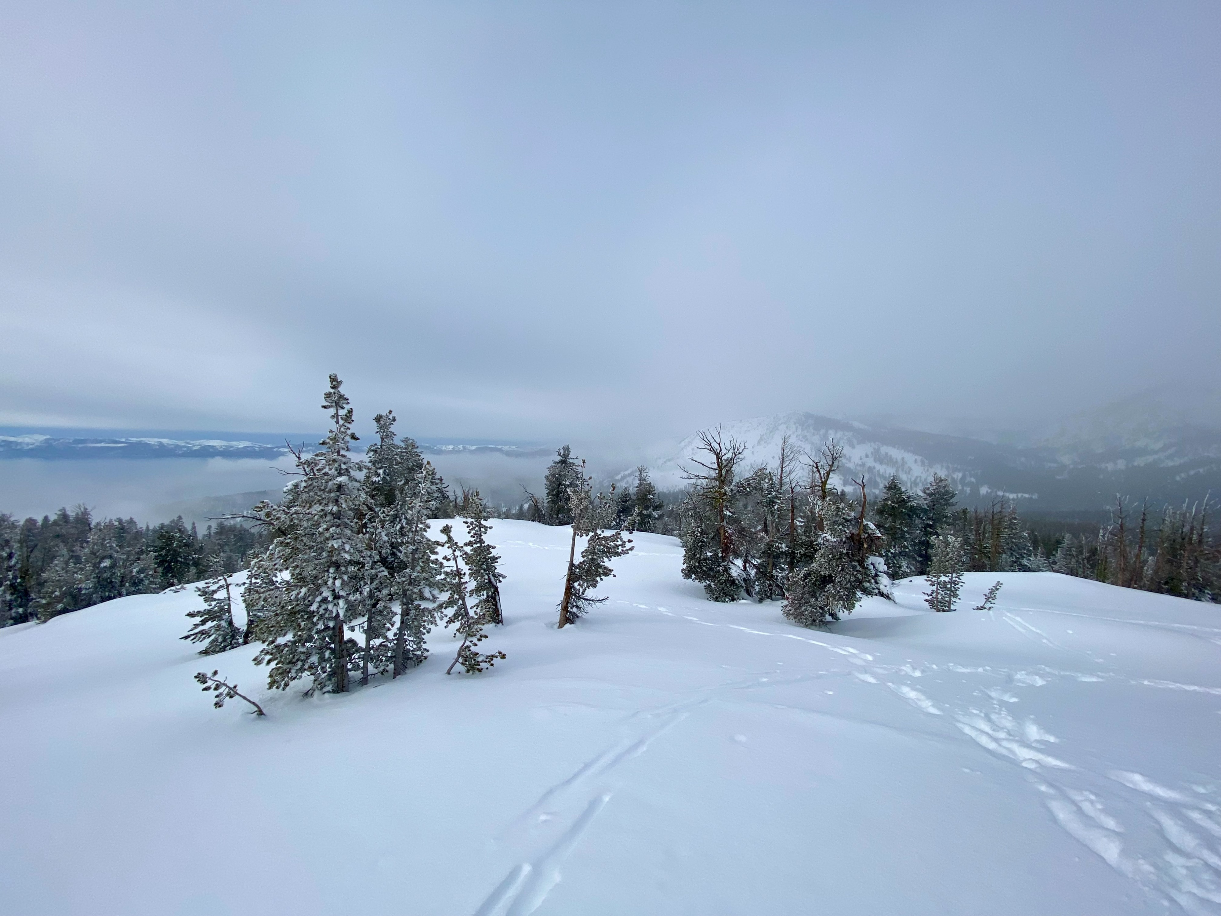
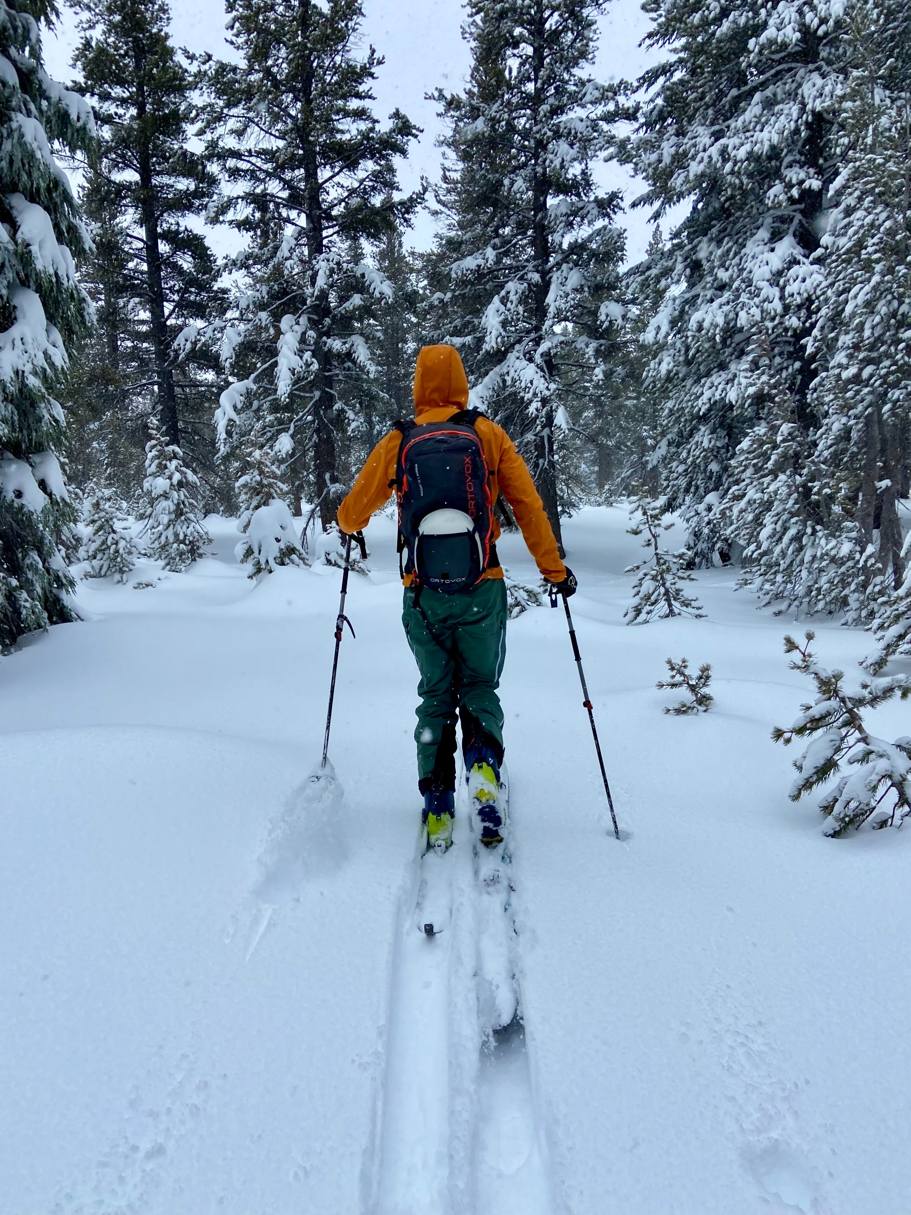
We went to the east side of the forecast area to monitor deep slab instabilities in a shallower snowpack in front of the potential storm system Sun-Tues. In sheltered below tree line terrain near Chickadee Ridge there was 6-8" of unconsolidated cold storm snow. Near the 9,200' summit of Ophir peak the snow became noticeably wetter and denser and storm snow depth averaged 4-5". The previously shallow snowpack in the Mt Rose area has made considerable gains in HS and stability. We made multiple attempts targeting the Dec 19 rain crust and facet layers and dug to the ground at both test pits, facets were still present but moist and gaining strength. Both informal observations and stability tests showed propagation is unlikely and that the snowpack is in decent shape for future loading. With the absence of sunshine today there were no loose wet concerns in this area. Additionally, we noted no wind slab problems. Limited signs of instability observed.
Weather
- Air Temp
- 40
- Cloud Cover
- overcast
- Wind Loading
- none
- Snow Avail For Transport
- moderate amounts
We started our tour with light snow fall around 10 am. Snow showers diminished and gradual warming continued until our departure around 1:30 pm. A low cloud ceiling and precipitation drifted in and out throughout the day.
Snowpack
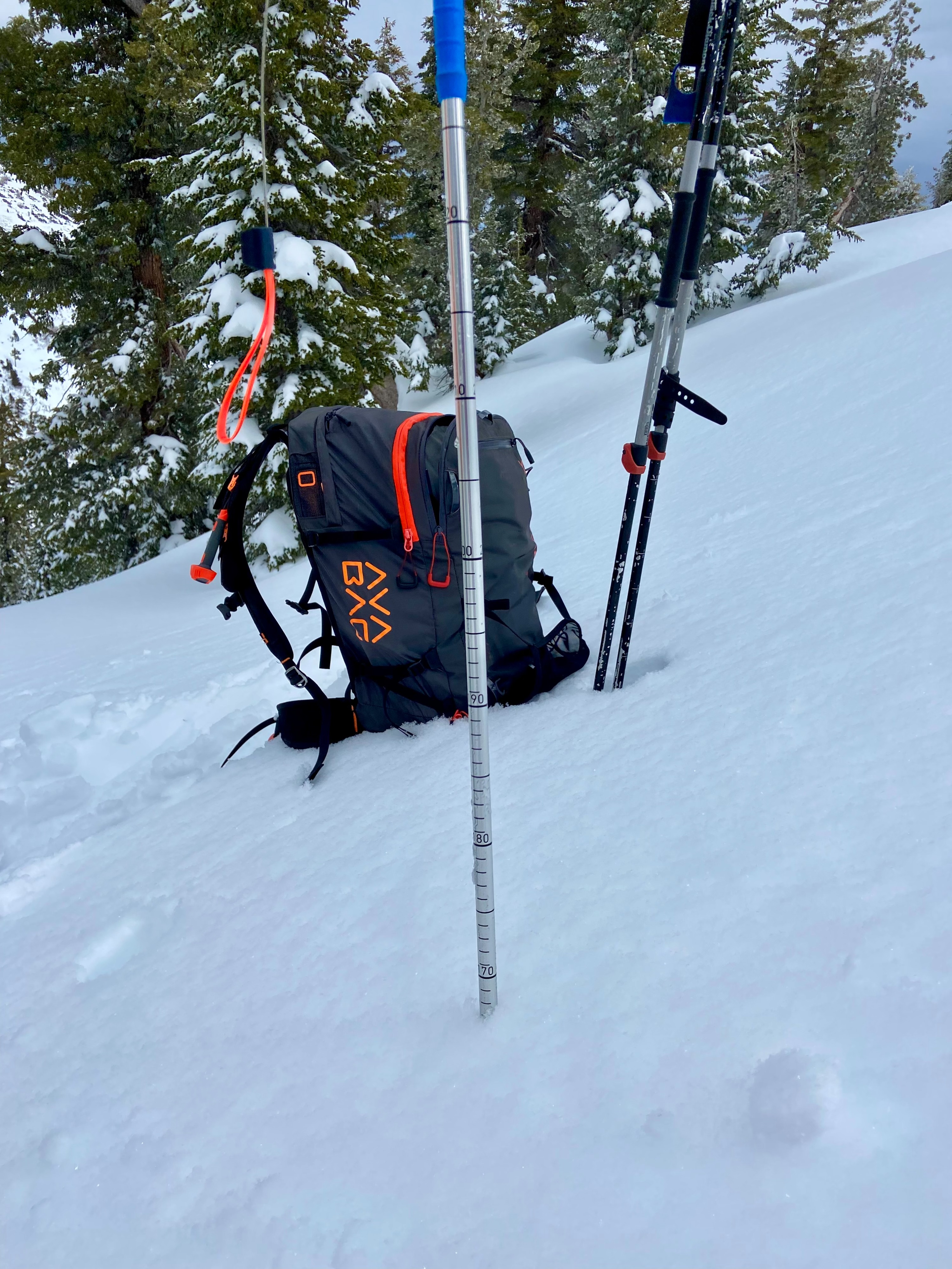
The snowpack in this region is continuing to gain strength as it increases in depth. We performed multiple stability tests targeting deep slab weaknesses that yielded generally stable results. Test Pit 1: 9180', NE aspect, HS170cm, PST 85/100 End, PST 100/100 End: both @ 88cm down on top of the Dec 19 rain crust. Test Pit 2: 8200' NE aspect, HS 144cm, PST 63/105 End on top of the Dec 19 rain crust, DT25SC @ 116cm down on top of Dec 19 rain crust.