
Weather
- Air Temp
- 28
- Cloud Cover
- overcast
- Wind Loading
- light
- Rain Elevation
- 7000'
- Recent Snowfall
- Trace
- Snow Avail For Transport
- small smounts
Light snow started late morning and increased into the midday with gale force SW winds in exposed locations. During the early afternoon on our drive down the Mt. Rose Highway, it was snowing down to 7000'.
Snowpack
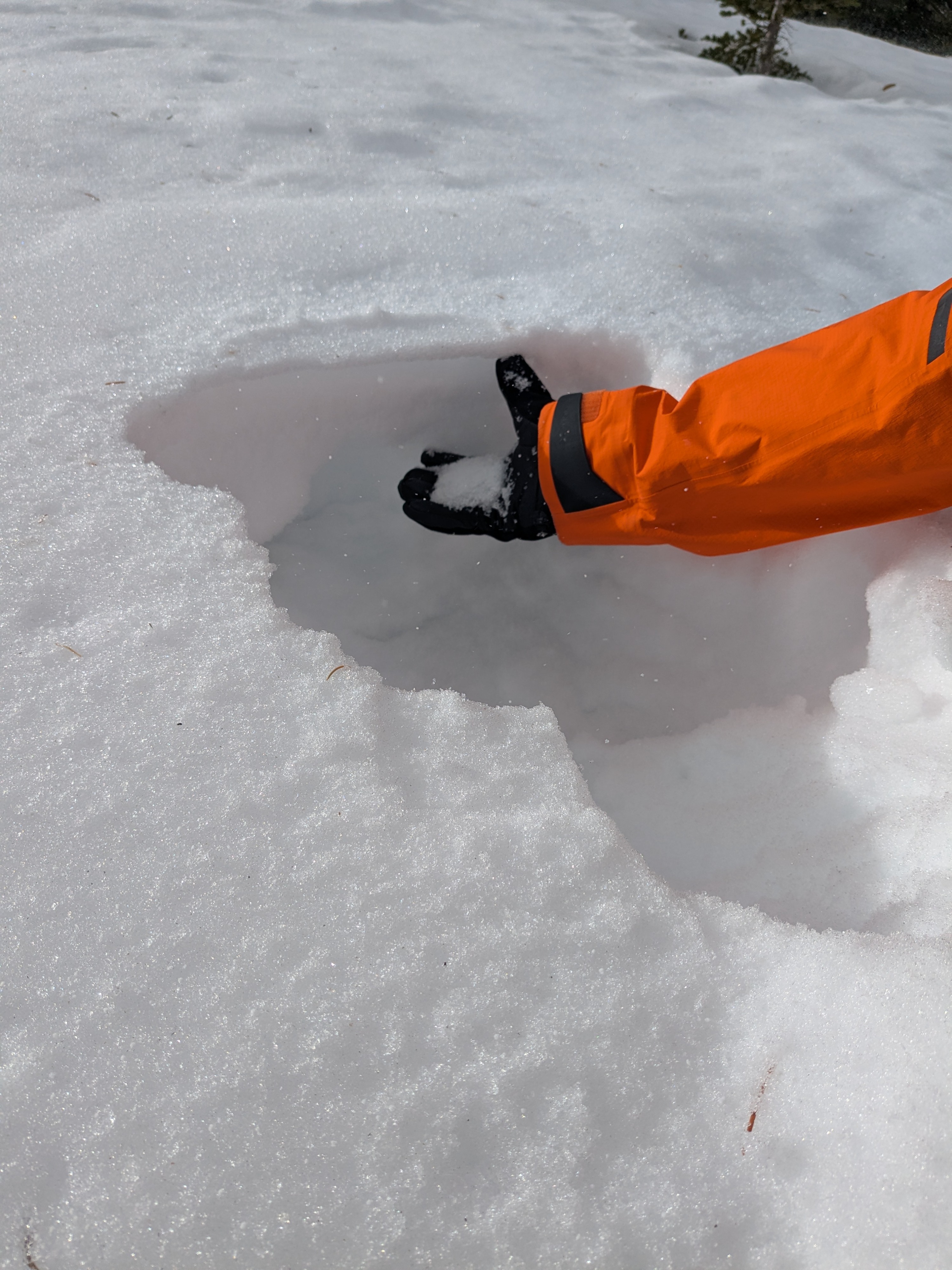
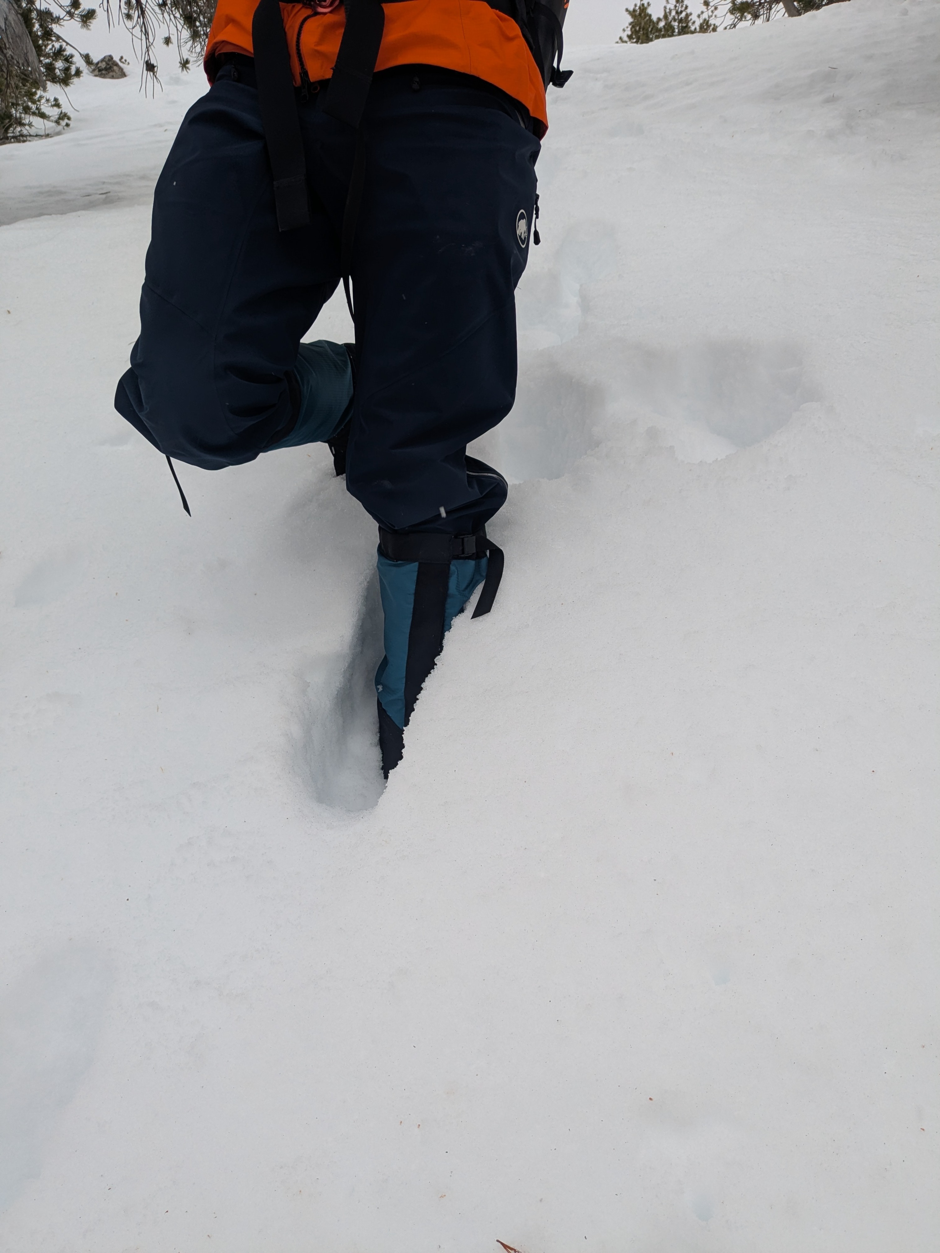
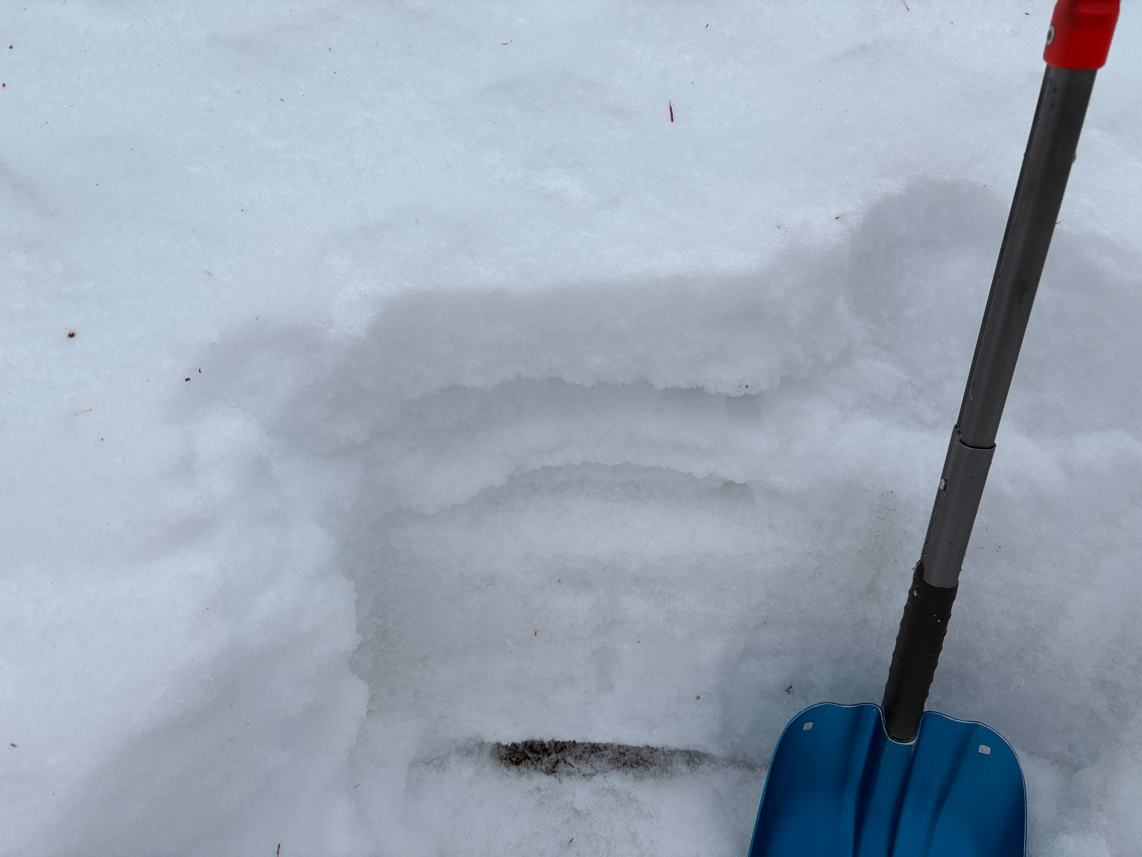
We went to Relay Peak today to look at a higher elevation snowpack before the next series of storms move into our area. Recent rains have formed a surface rain crust up to and above 10,000' in this area. This rain crust varies and is thicker at lower elevations below 9400' and thinner at higher elevations. At elevations above 9500', the rain crust is thin with a layer of weak faceted snow still existing. At lower elevations where we found the rain crust thicker, the faceted layer was more dense and stronger than at the higher elevations. Where this faceted snow has not been wetted at higher elevations, it could become a problematic weak layer as we get large storm loading events through this weekend.