
Quick report
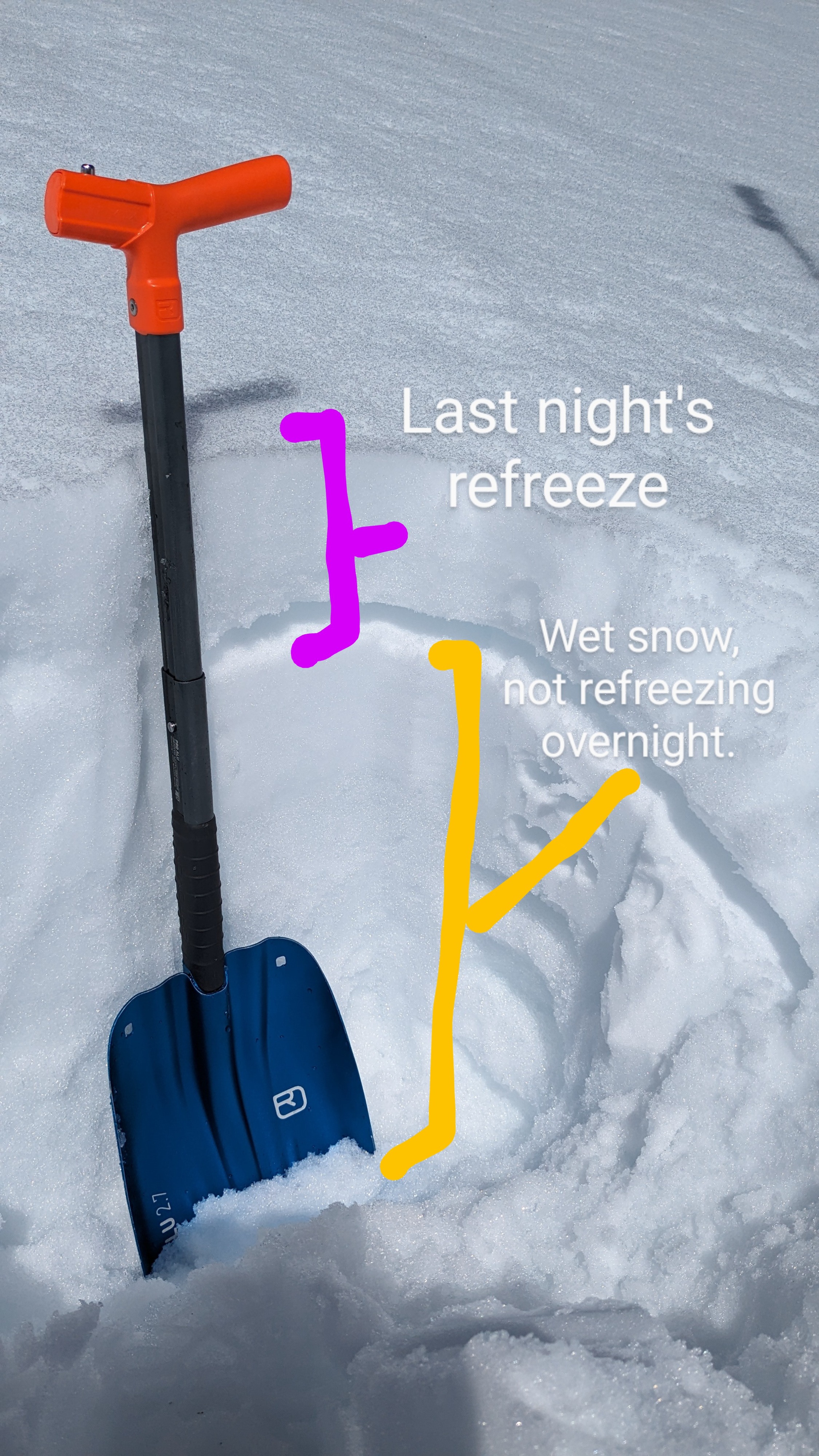
This morning on Andesite Peak, there was a decent snow surface refreeze on open slopes and a much weaker refreeze under forest canopy. On open slopes, the melt-freeze crust at the snow surface was K hard and 4 inches thick. Under forest canopy, this crust was only 1F hard and just 2 inches thick. Pretty typical of an overnight refreeze heavily reliant on radiational cooling under clear skies with above freezing air temperatures. Cornices in the immeadiate area were heavily melted, throughly sagged, or had previously collapsed.
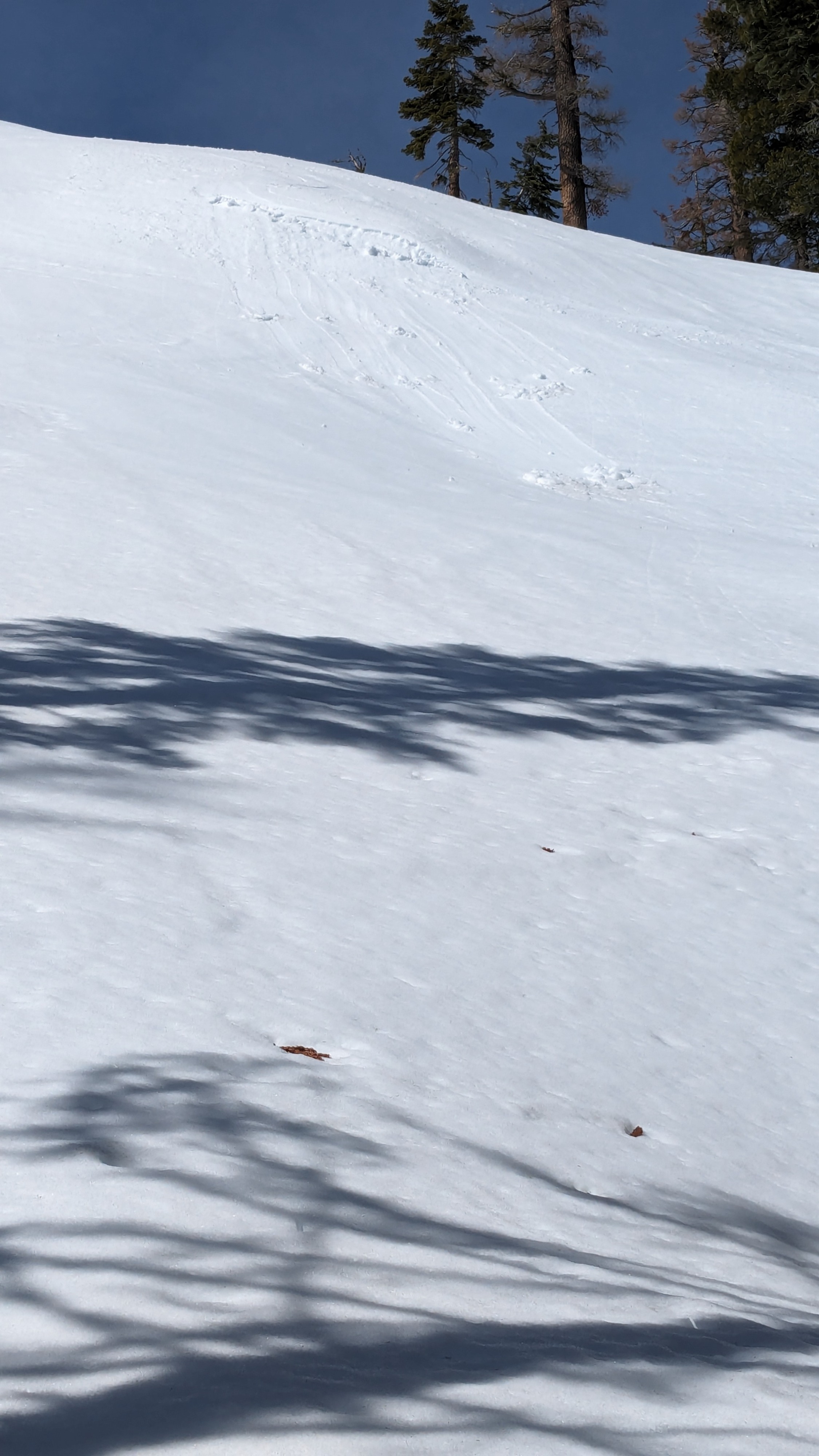
Conditions were ski supportable in most areas up until my departure from the area around 11 am. By 10:30 am, E aspect test slopes were giving indications of a developing wet loose avalanche problem. Shallow sluffs were easy to trigger at that time. It was clear that as the morning progressed and the surface crust melted enough to loose supportability, the window for backcountry travelers to trigger wet loose avalanches would open.
Weather
- Cloud Cover
- clear
- Wind Loading
- none
- Snow Avail For Transport
- none
Moderate speed westerly winds on the ridgetops, not felt at mid-slope on eastlery aspects.