
Quick report
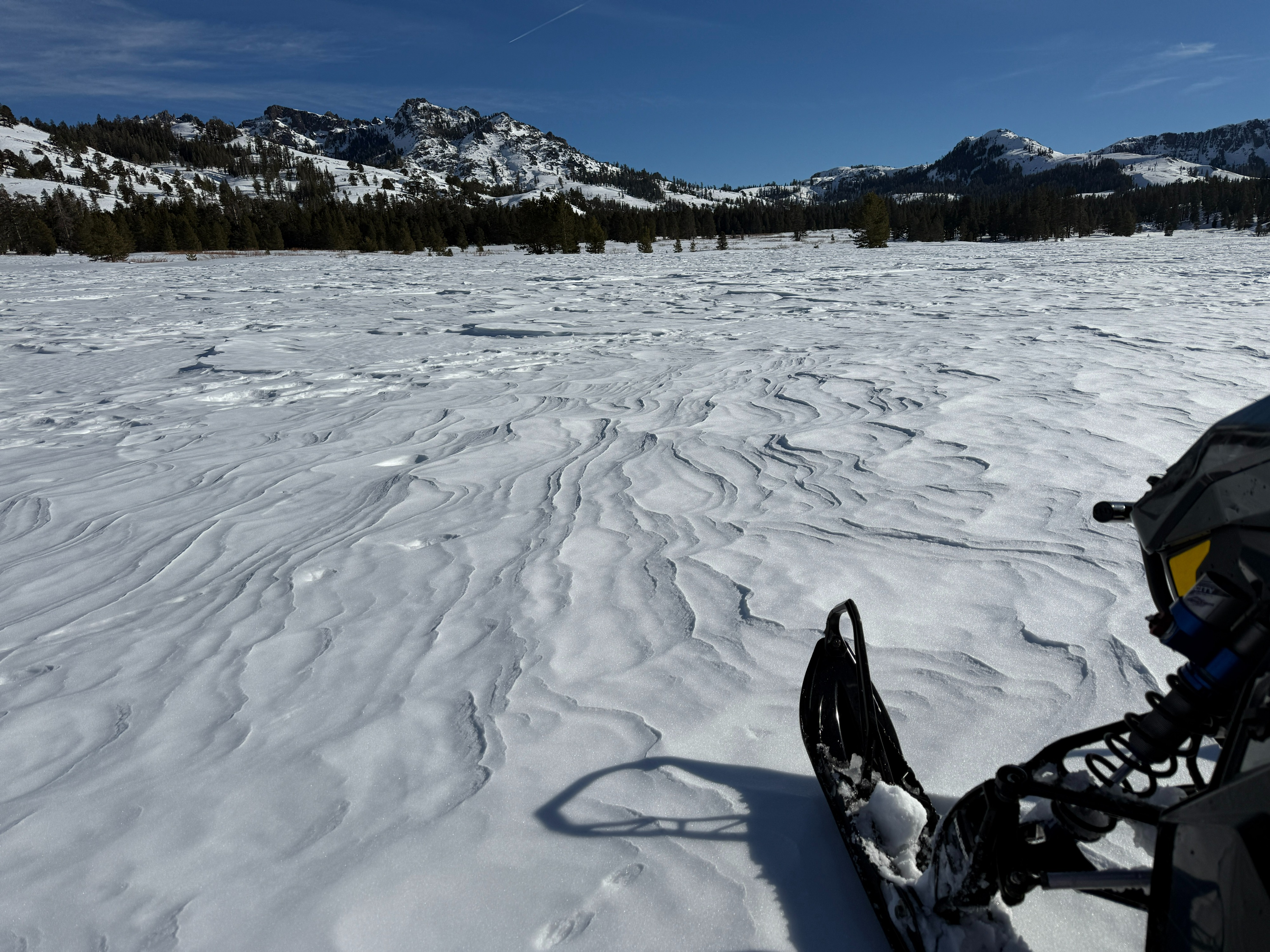
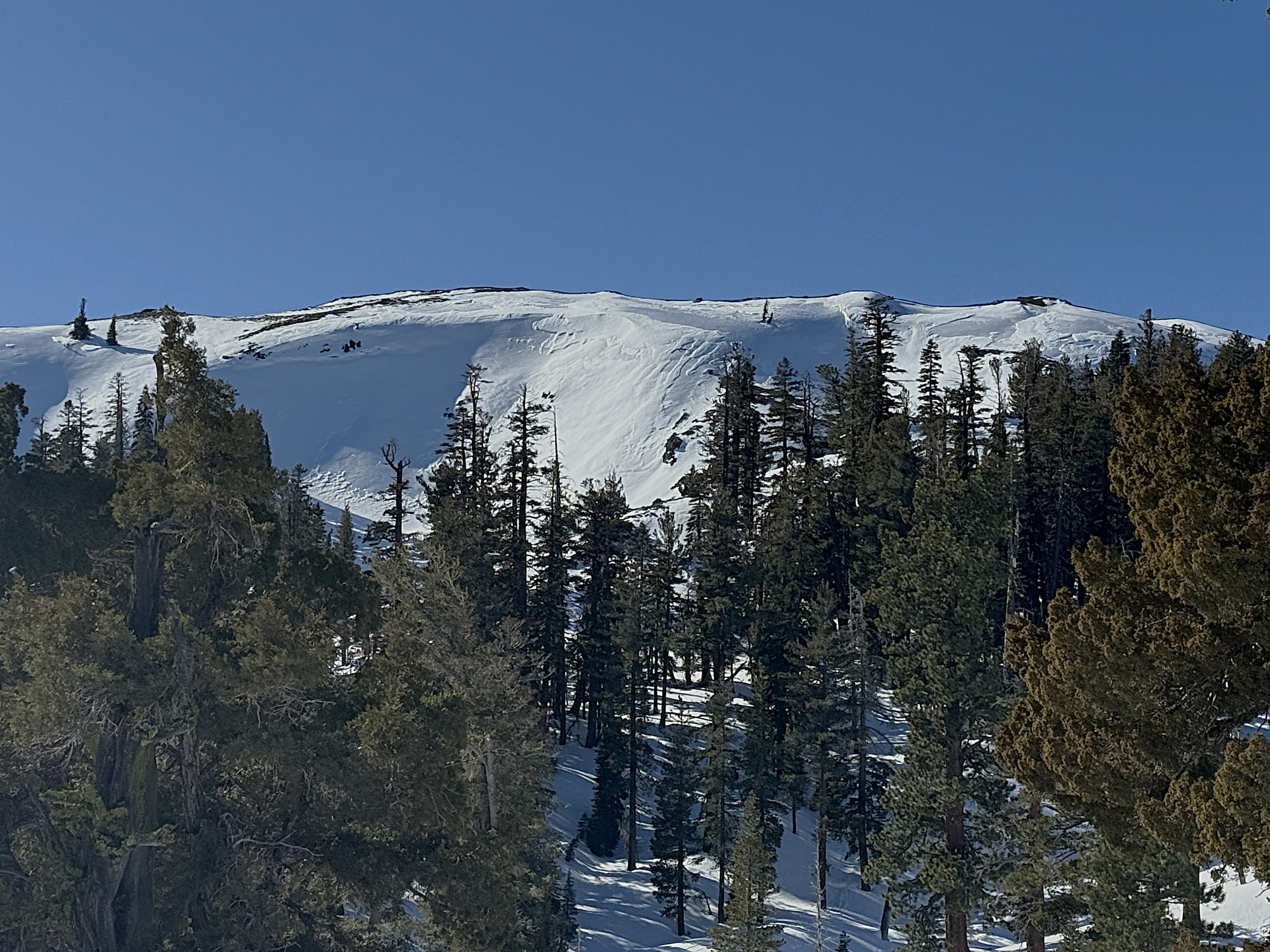
We traveled from Hope Valley to Indian Valley and had clear views of several wind exposed features near and above treeline. All of them had a combination of previously wind blown drifts, and patches of exposed crust/ice between the drifts. Even below treeline, large open areas were textured by previous wind scouring. Dry snow unaffected by wind was found on the surface of steeper shaded slopes, but everywhere else surface snow was moist to wet. The several facet/crust combos were observed in the top third of the snowpack throughout our travels, but no slab was ever seen above them. Colder slopes had weaker facets between the crusts. I dug to the ground on a NE aspect at 8000ft to look at the Dec 12th facets and they were not weak at this location - the bottom 2/3 of the snowpack was strong and high density.
Weather
- Cloud Cover
- scattered
- Wind Loading
- previous
- Snow Avail For Transport
- small smounts
Warm temps, light breeze from the south. Increasing cloud cover in the afternoon to overcast
Snowpack
Moist to wet snow on the surface of sunny slopes and low angle "shaded" slopes getting indirect sun. Dry surface snow on steep shaded slopes. Dug to Dec 12th facets in a cold and shallow location and they were not weak.