
Quick report
- Cracking
- Observed
Weather
- Air Temp
- 36
- Cloud Cover
- overcast
- Wind Loading
- moderate
- Rain Elevation
- 6800
- Recent Snowfall
- 5
- Snow Avail For Transport
- small smounts
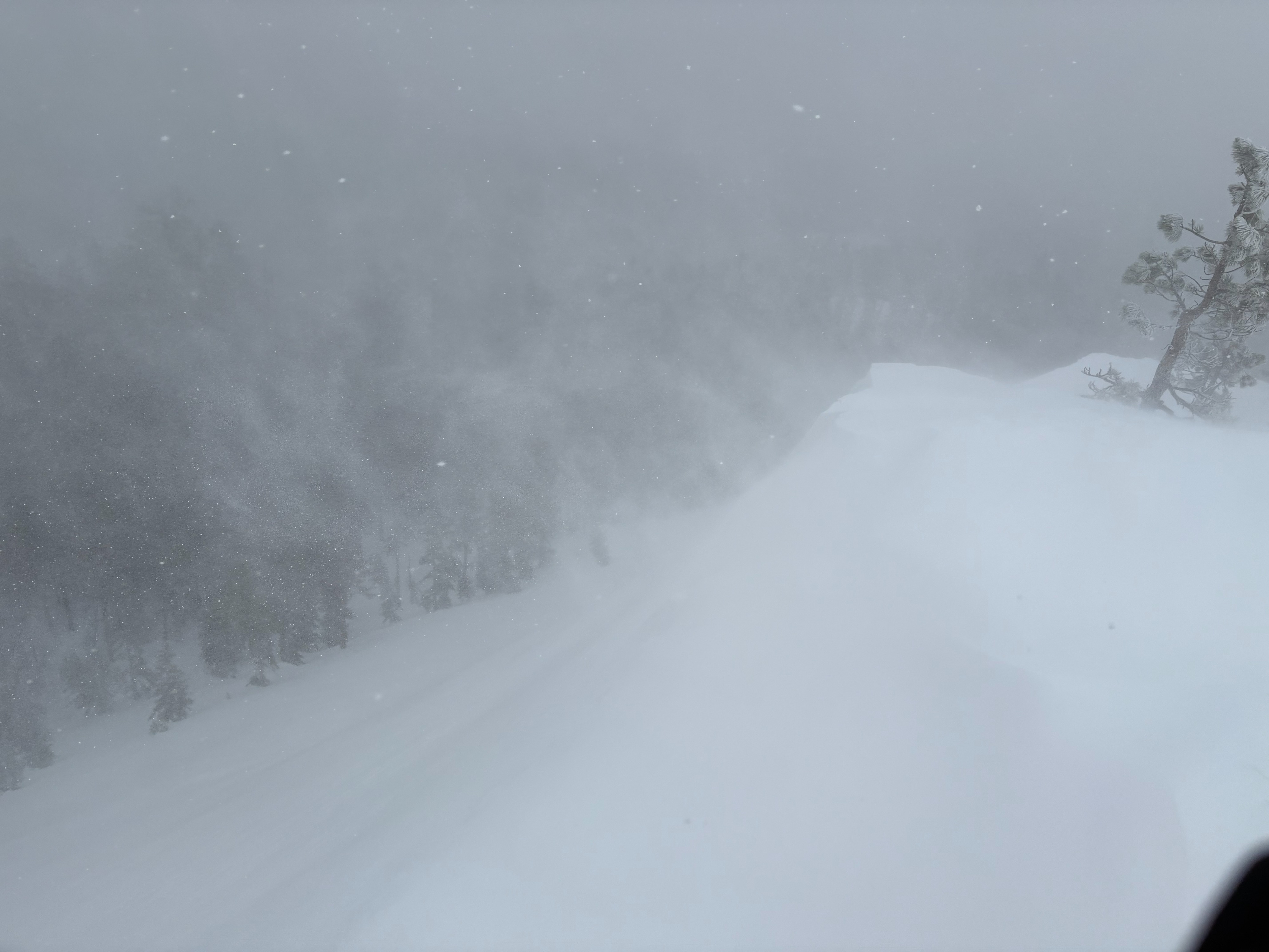
Mostly cloudy skies with some low level fog on Donner Summit. Light snow this morning decreased with a break in the mid to late morning hours with some small pockets of blue sky showing. Snow picked up late morning and became more steady around noon. South winds were strong and increased late morning to gale force as snowfall increased.
Snowpack
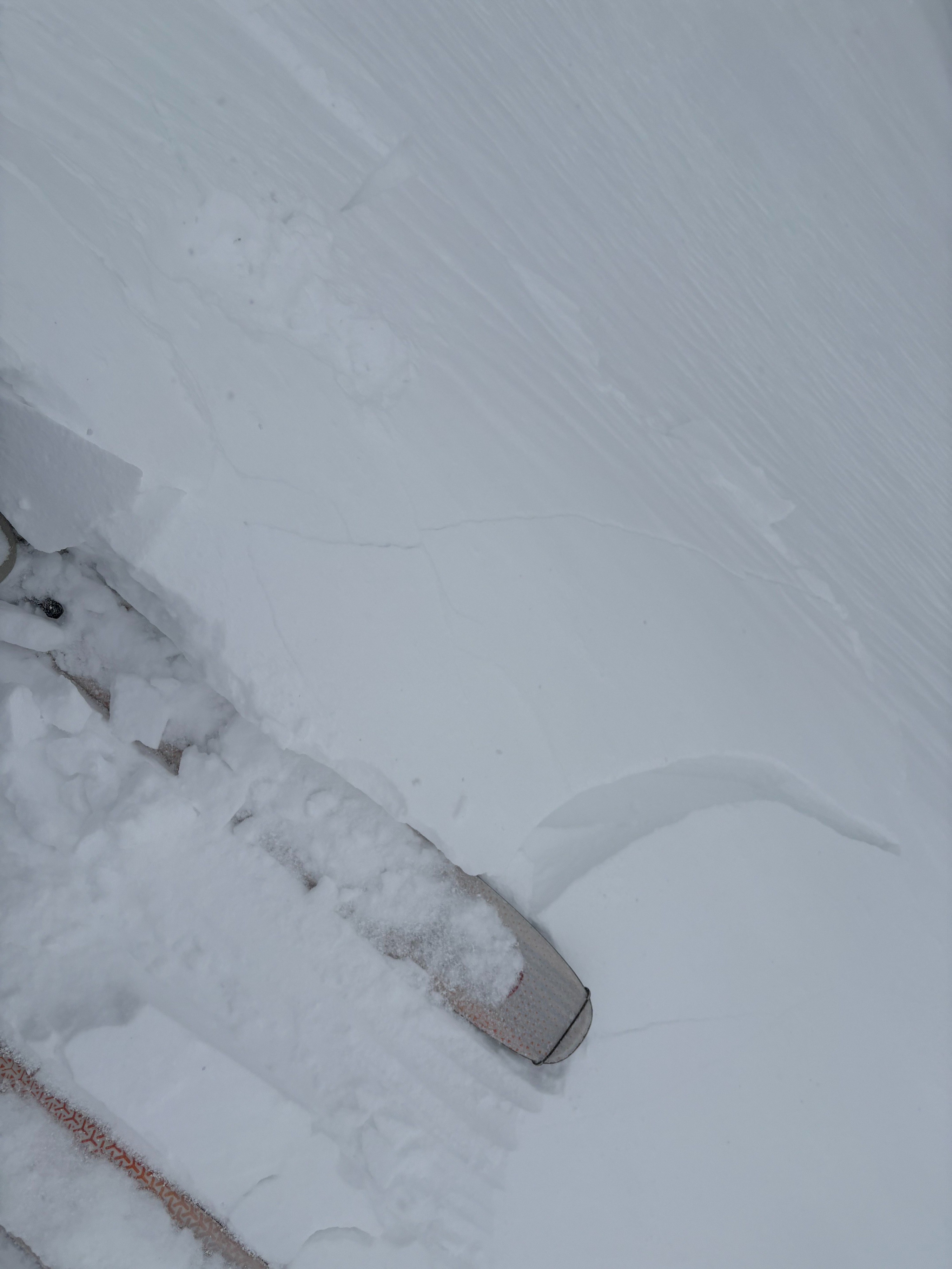
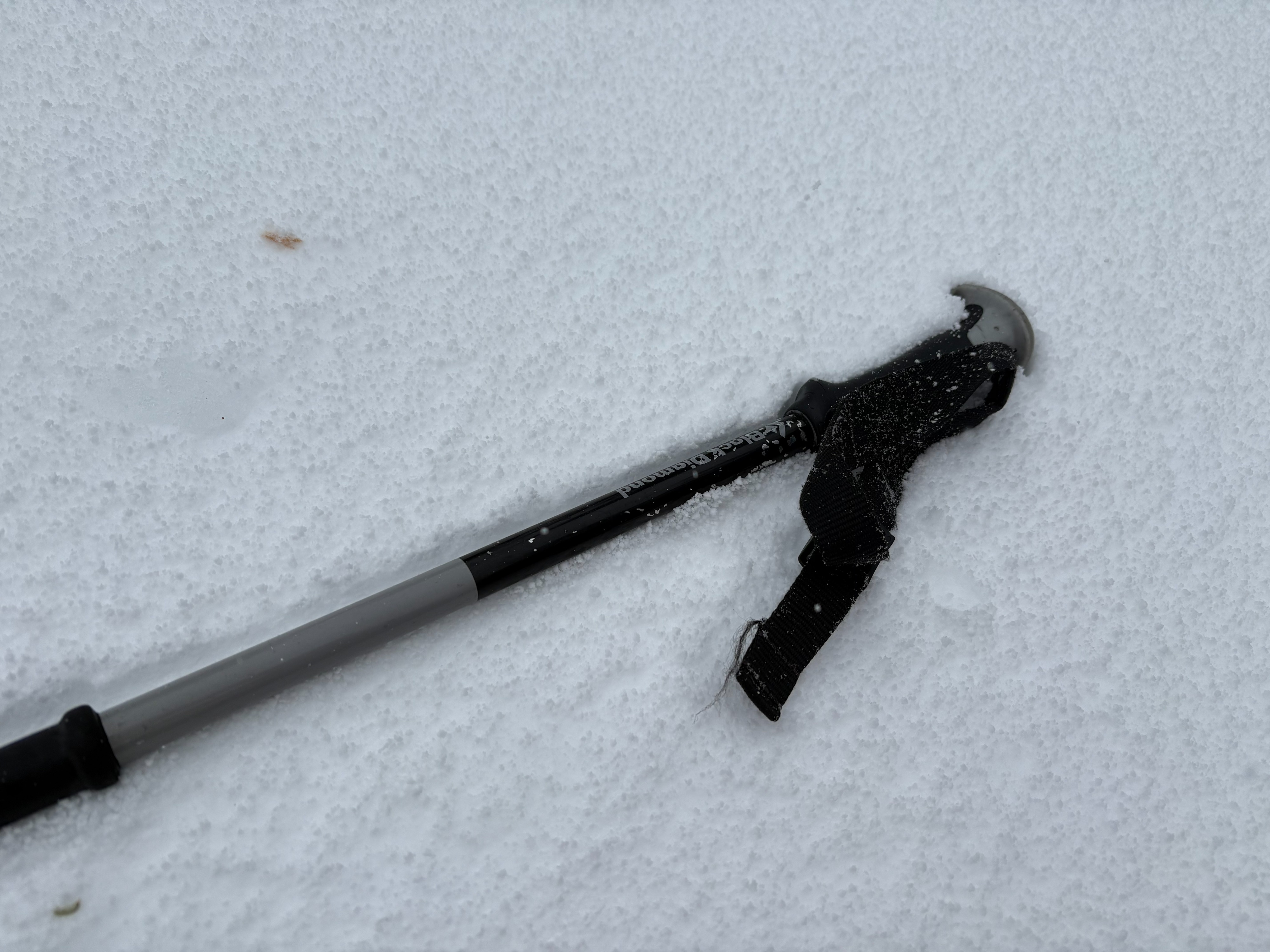
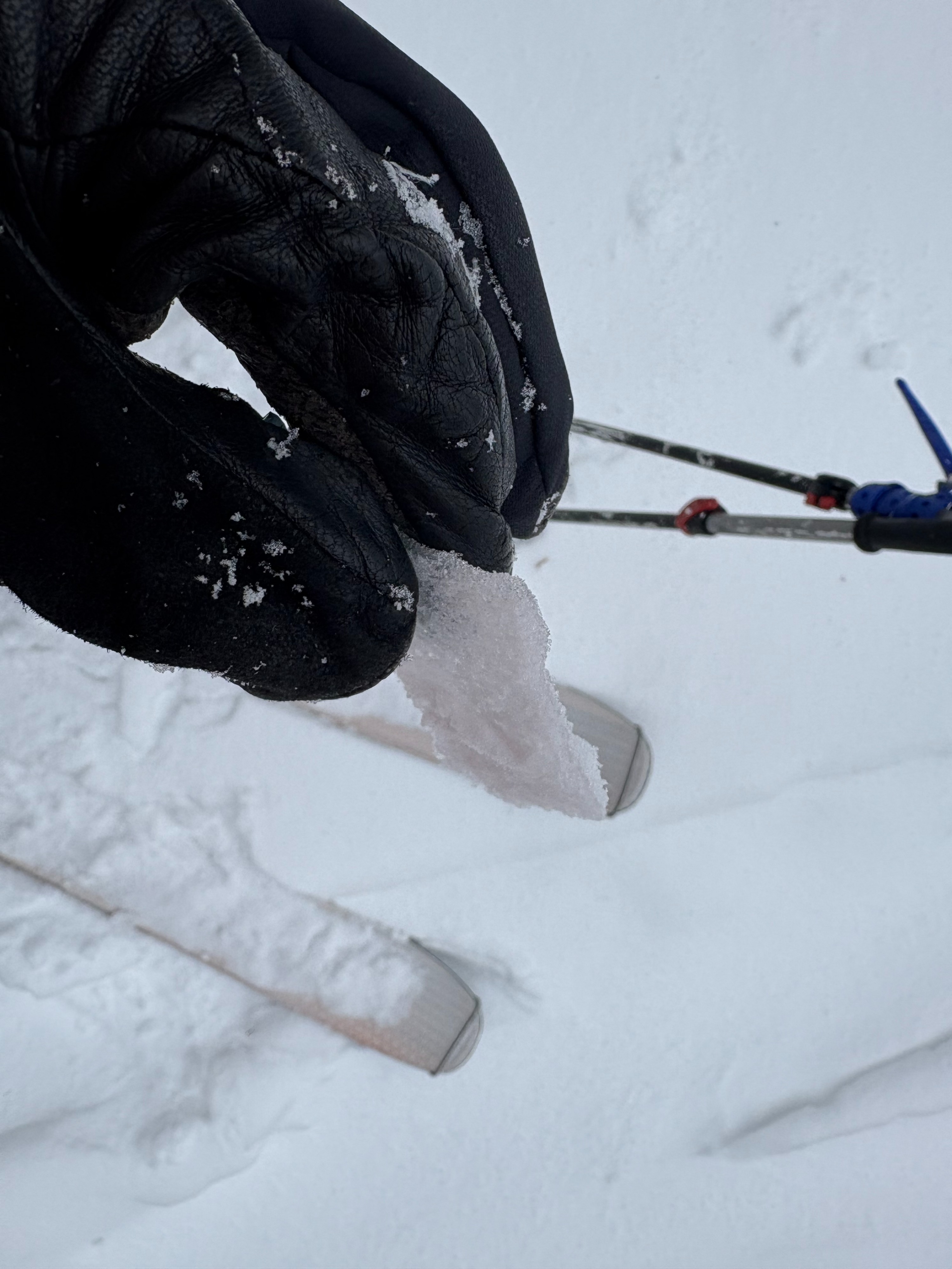
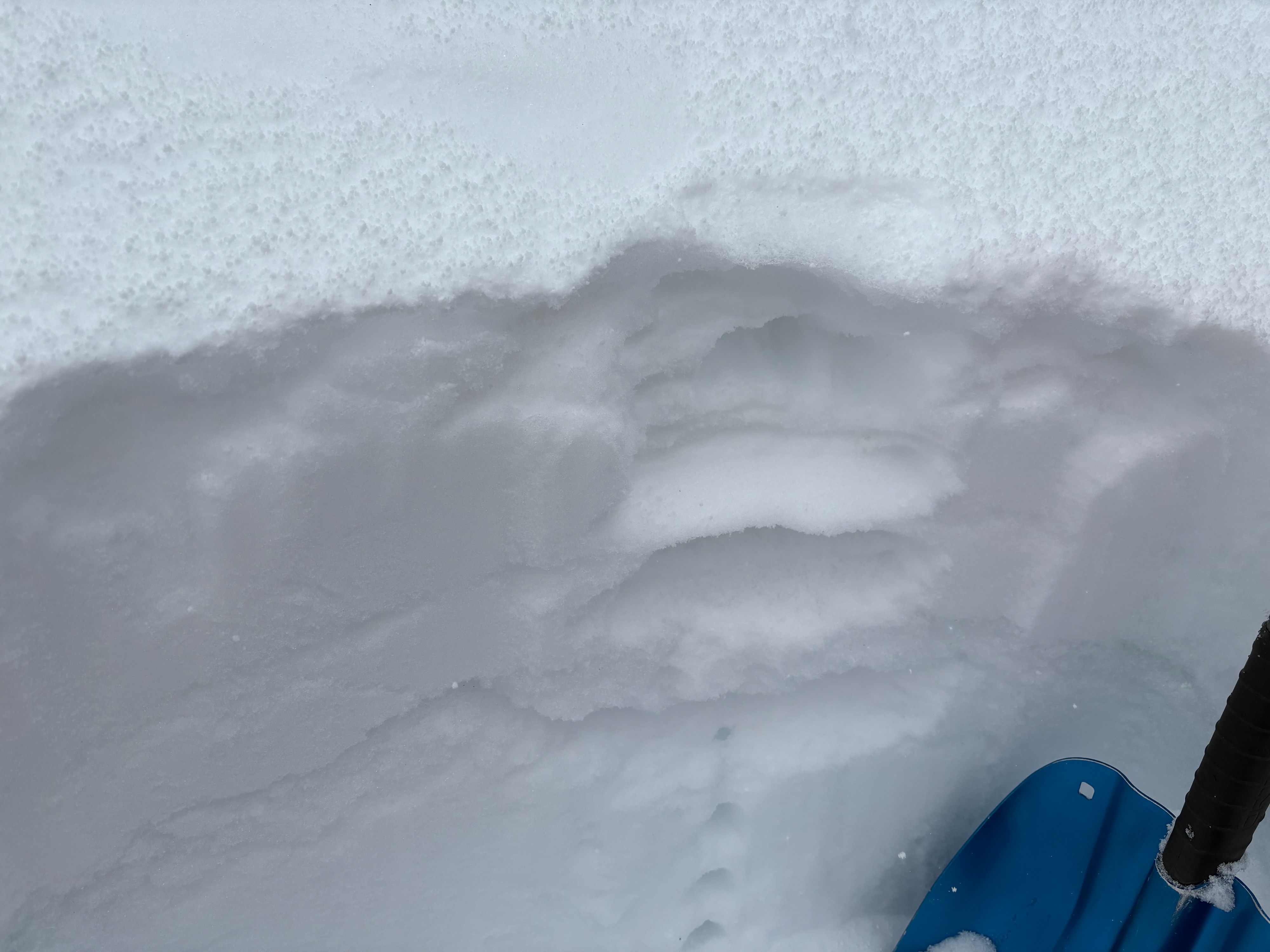
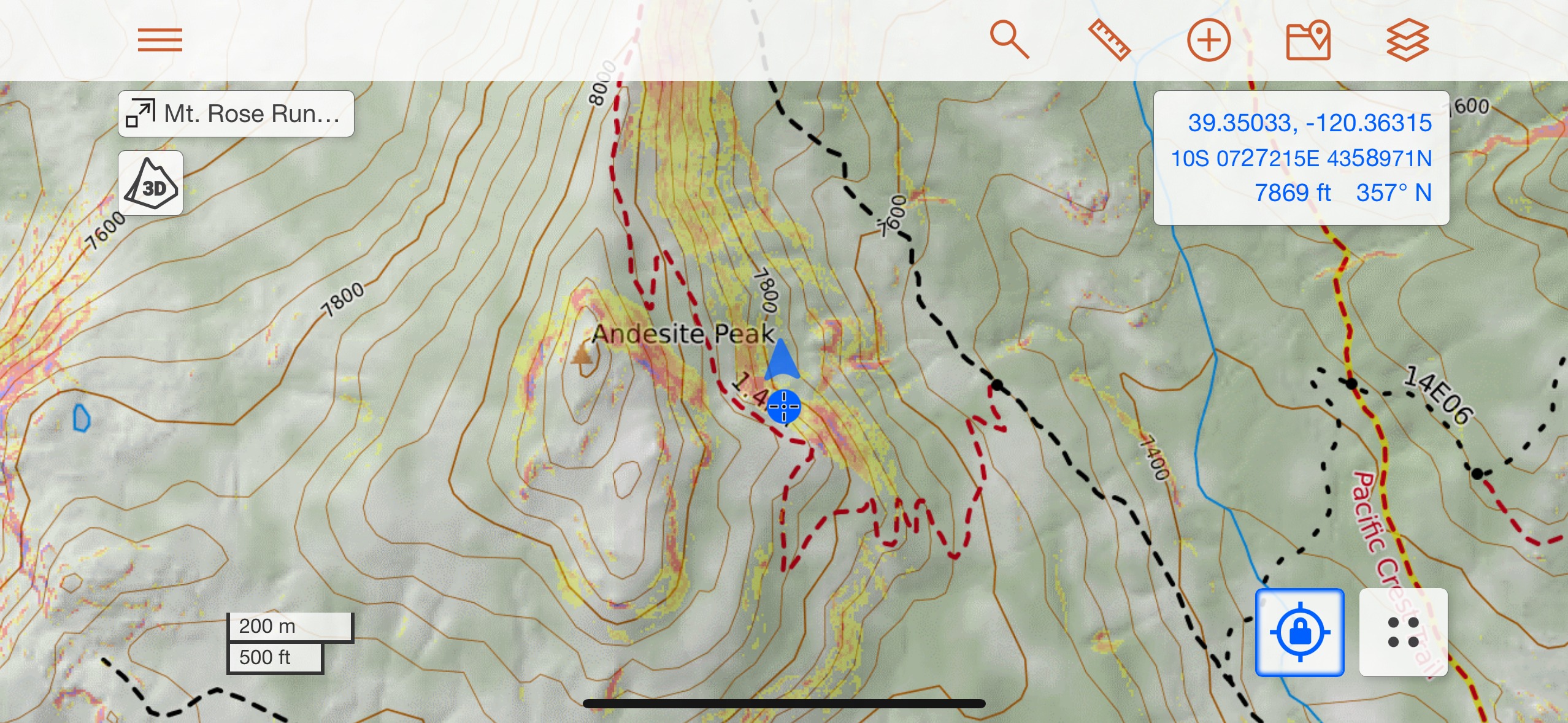
We went to Andesite Peak today to monitor the incoming storm. We arrived on Donner Summit to mostly wet pavement and very light snow showers. There was a trace of new snow on the ground at the trailhead at 7200' with mostly dust on crust conditions. As we continued on our tour, we had a break in snowfall mid morning with a few views of blue sky. Snowfall increased late in the morning and became more consistent. By midday, we had up to 2'' of storm snow mostly made up of graupel that exists on a variety of crust surfaces that could cause future bonding issues. Multiple crusts existed throughout this area today, including wind scoured areas down to firm crusts, recent melt freeze crusts on solar aspects, and a thin rain crust that formed from rain at the beginning of this storm last night. This provided some dust on crust and breakable crust travel conditions on E and NE aspects. Wind slabs were forming and becoming reactive by late morning. These remained small at this point with the limited new snow available for wind transport. Snow was sticking on the roads on Donner Summit by the early afternoon. Storm spillover was very weak as we descended into Truckee, with periods of sun and limited precipitation.