
Quick report
- Cracking
- isolated
As approaches to continuous snow get longer, utilizing closed ski areas with uphill travel routes is a great way to gather snowpack information. With the lower and mid-elevation terrain largely melted out or at least very aspect-dependent, we headed towards Mission Ridge to travel into the upper elevations of the Wenatchee Mountains. We wanted to check on the new storm snow, the extent of wind-loading, and observe how the snowpack has changed with the recent colder temperatures.
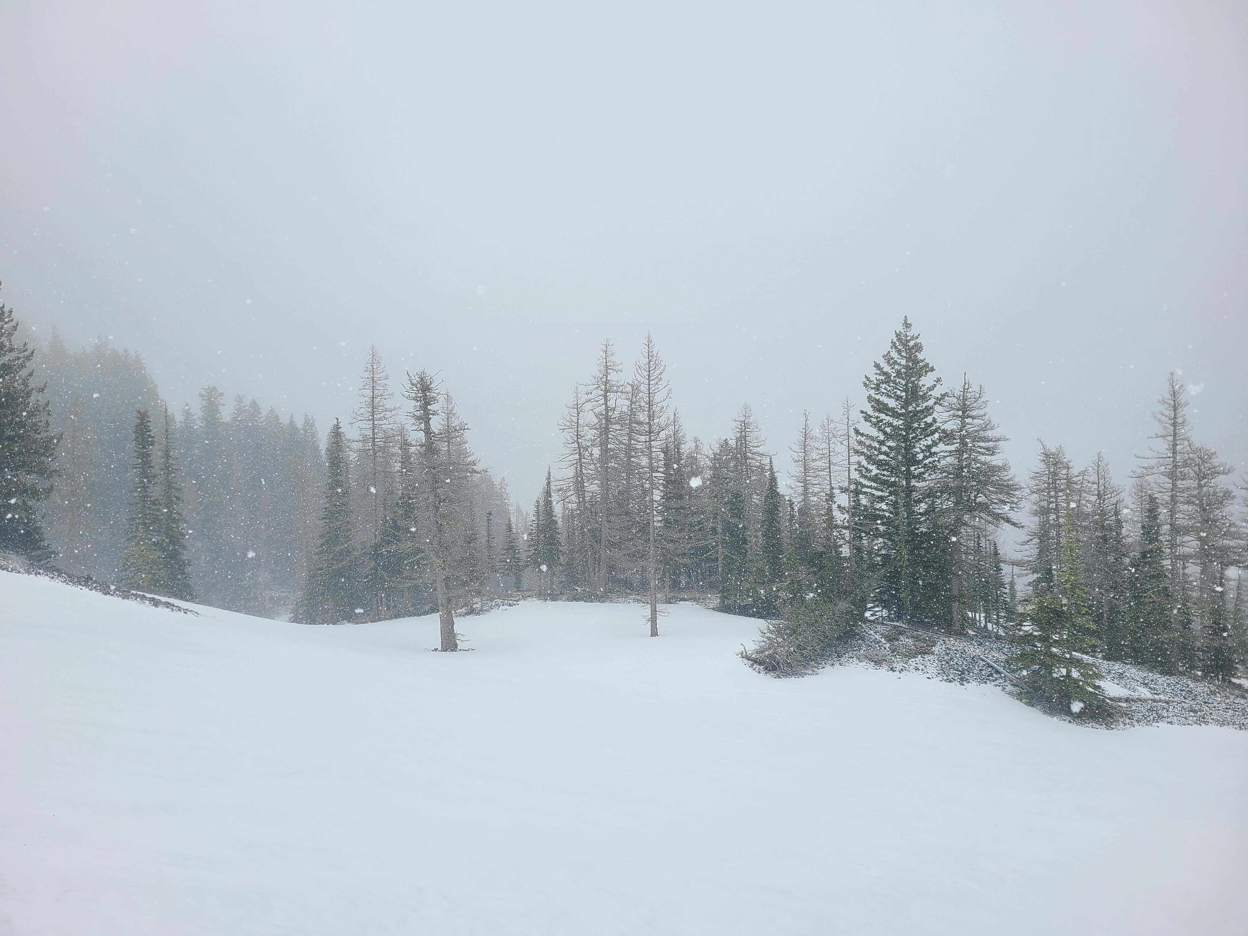
We found easy travel on the uphill route on groomed trails and then headed out into the backcountry near Mission Peak. The snowpack is well on its way to a spring transition but still has notable crust layers within the older melt forms from the hot weather over the past couple of weeks. Today's weather was snowy and blustery with active wind loading, although there wasn't enough snow to increase avalanche concerns by the time we left the field around 1:30 pm. Visibility was extremely poor, and we were thankful for the groomed trails to navigate our way back down and out of the clouds.
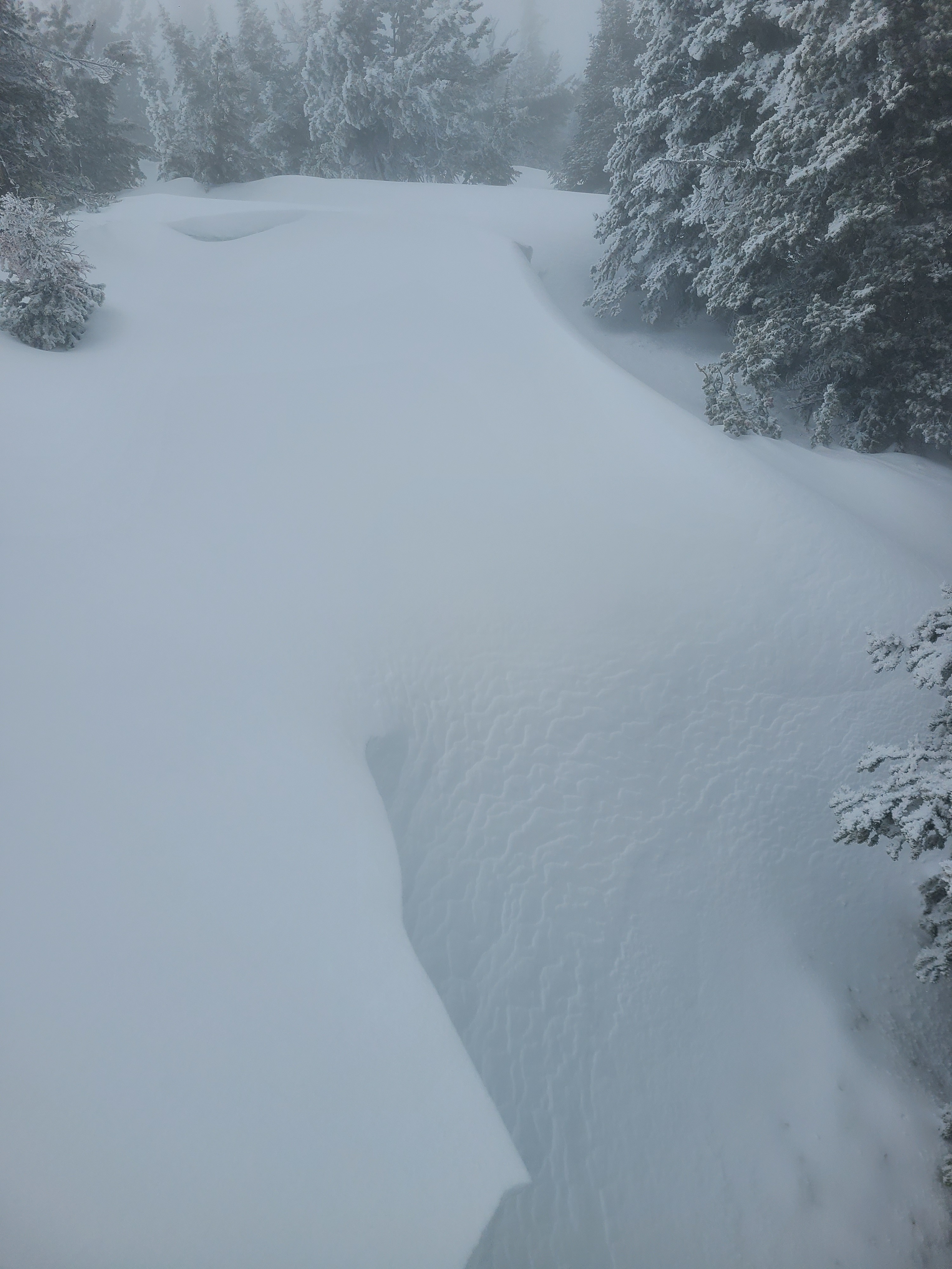
We observed minor cracking in wind-loaded areas, 5-10cm deep.Weather
- Cloud Cover
- obscured
- Recent Snowfall
- 4cm
- Snow Avail For Transport
- small smounts
It was a stormy and windy day in the Wenatchee Mountains. Moderate winds with strong gusts were actively blowing snow, although the relatively small amount of fresh snow didn't allow for large drifts to form on lee slopes. It was snowing moderately throughout the day (S1). The rain/snow line was below the base area, hovering between 3500 and 4000ft.
Snowpack
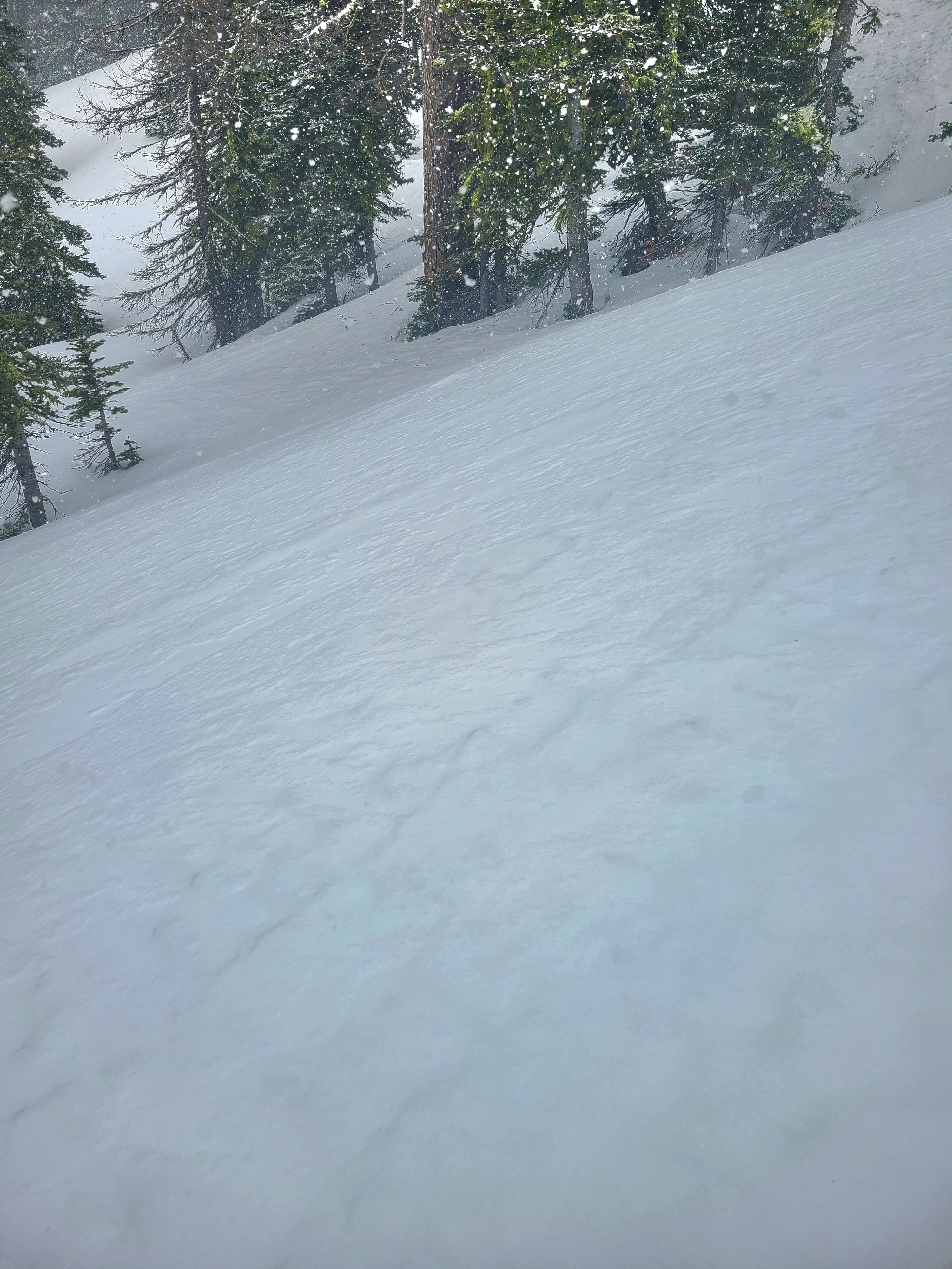
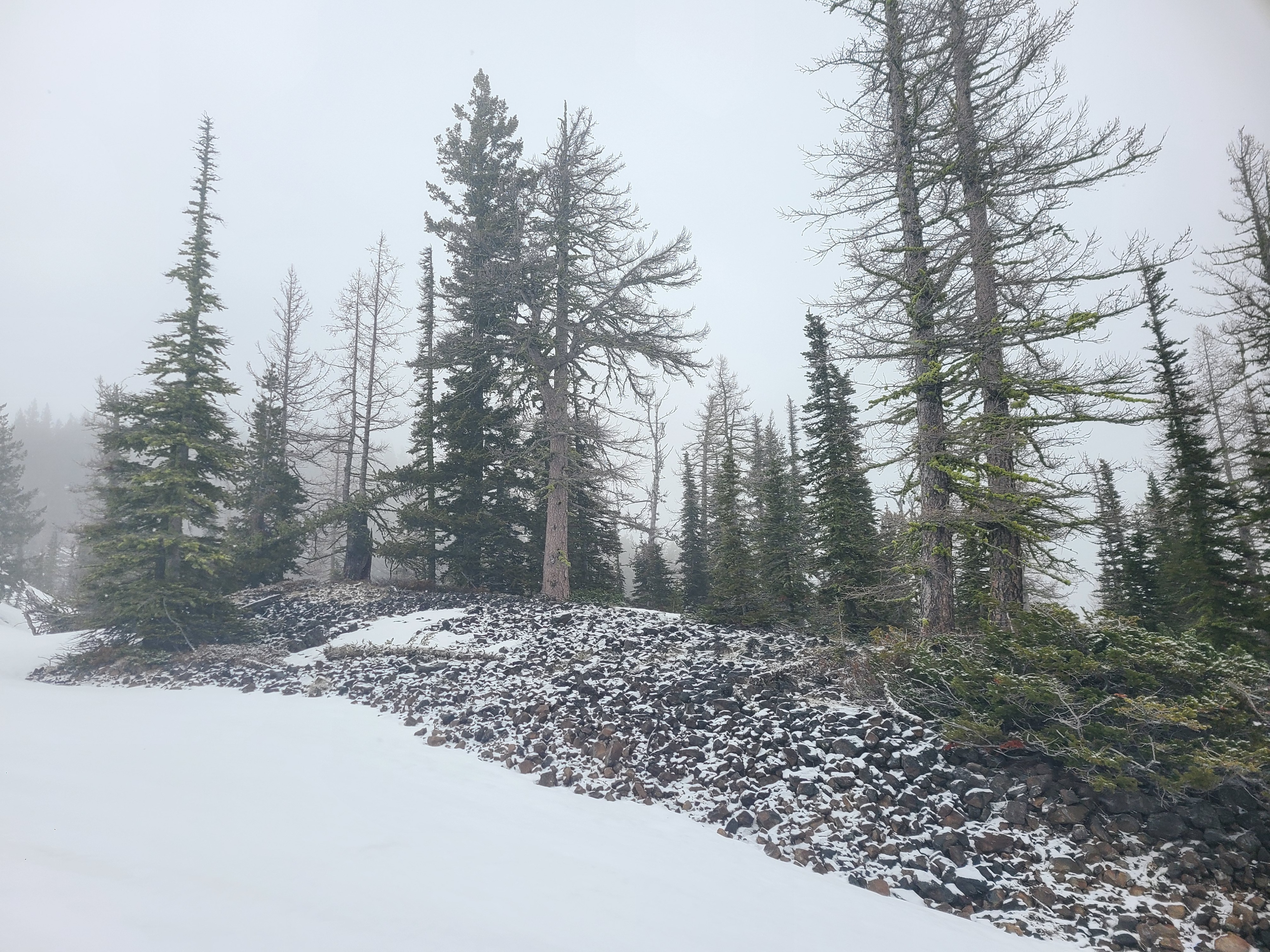
Snow Surface Conditions: Snow surfaces were refrozen and supportable to both boots and skis. In most areas, the surface was still slightly soft and edgeable on skis, but there were occasionally icy patches. Below 5000ft there was little new snow accumulation. Above 5000ft, 3-5cm of snow accumulated in the last 24 hrs. Surfaces were wind-affected with drifts up to 10cm deep, even in areas well below the ridgeline. The new snow had a poor bond with the underlying, old melt-freeze crust. Lower elevations are melted out to bare ground on most south and west aspects, with minimal and patchy coverage on other aspects.
Snowpack Summary: These cooler temperatures finally led to a more substantial refreeze of the upper snowpack. Below 4cm of new snow, the upper snowpack consists of refrozen melt forms (rounded polycrystals) with a multitude of P to K hard melt-freeze crusts down to 70cm. Buried around 70cm is a hard melt-freeze crust, which presented as an ice lens in some locations. Below this crust, the snowpack is still moist 1F to P hard, melt-forms.
Total Snow Height: 190-200cm