
Quick report
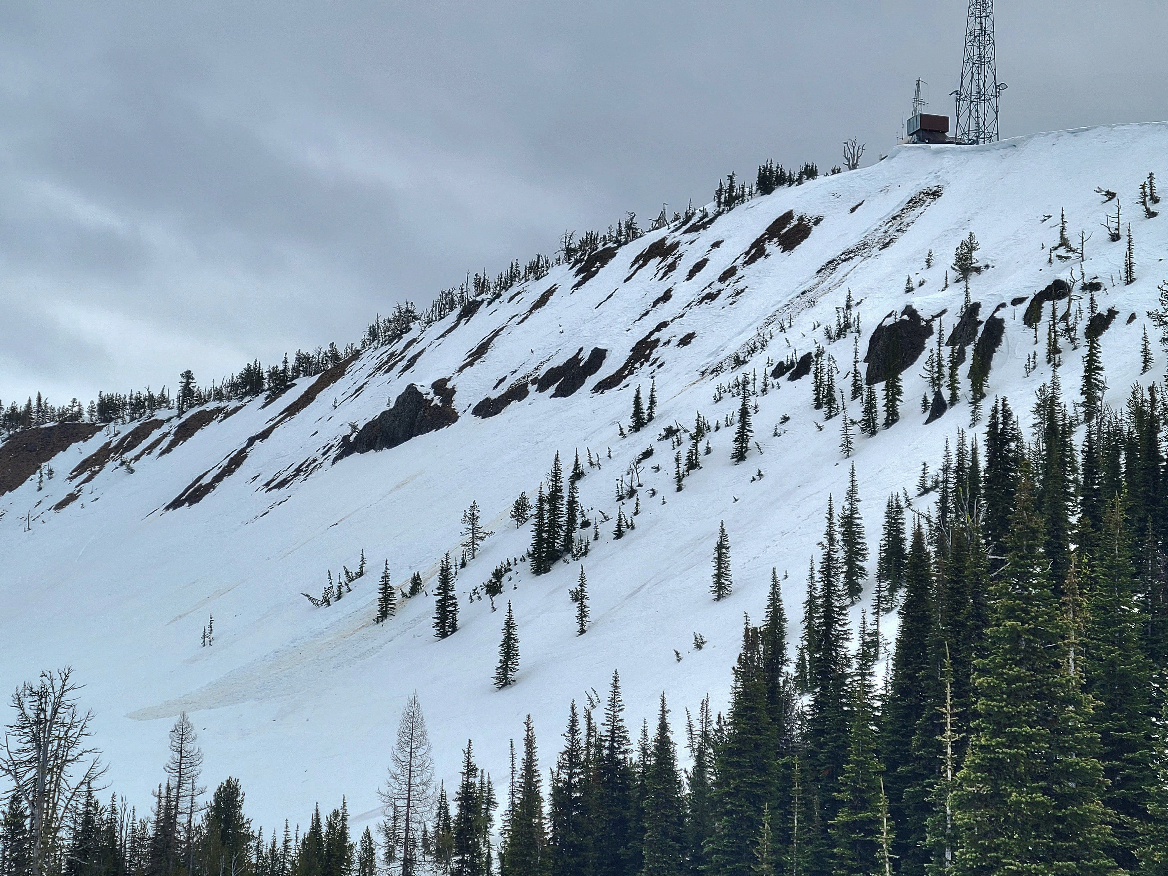
After the long, warm, rainy weather, I got a chance to check on the snowpack near Mission Peak. Cooling temperatures are improving conditions, and the snowpack is beginning to drain, refreeze, and become more supportable. I observed older wet loose avalanches, but nothing new in the last 24 hours. A view into the Owl Creek drainage, near Blewett Pass, showed no big crowns from wet slab avalanches. The western aspects and lower elevations have lost a significant amount of snow during this warm spell.
Weather
Temperatures cooled off significantly compared to the previous few days. The day was mostly cloudy with occasional showers and sunbreaks. Westerly winds were moderate along ridgelines, although there is no snow available for transport.
Snowpack
Snow Surface Observations: At upper elevations, the snowpack is slowly refreezing. Along the ridgeline, the surfaces were icy, while in open, sheltered terrain, surfaces were more variable, with a superficial refreeze to about 5cm depth. In forested areas, the snowpack was still punchy and supportable to skis but not boots. At lower elevations, the snowpack is still soft and unsupportable.
Snowpack Summary: I dug a snow profile at 6400ft on an east aspect. The shallow snowpack in the Wenatchee Mountains was entirely moist to wet with multiple melt-freeze crusts within the pack. Below a 5cm thick, soft, surface crust, the upper snowpack is wet down to 25cm over a melt-freeze crust. This melt-freeze crust produced stubborn small column test results. Below this melt-freeze crust, the snowpack is moist and increases in hardness down to a melt-freeze crust buried 110cm deep. Below this crust, the base of the snowpack was wet and weak. Boot penetration around the snow profile site was variable from 10cm to 35cm.
Total Snow Height: 145cm
Snow Stability Test Results: CT17 RP ↓25cm, CT19 RP ↓25cm