
Quick report
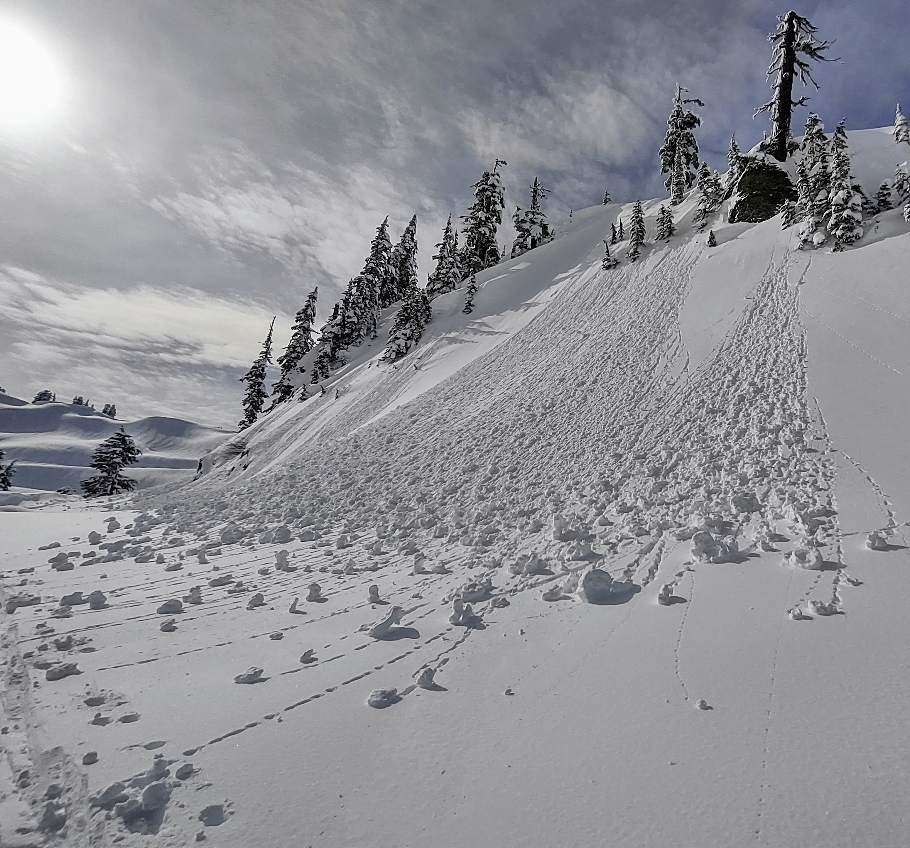
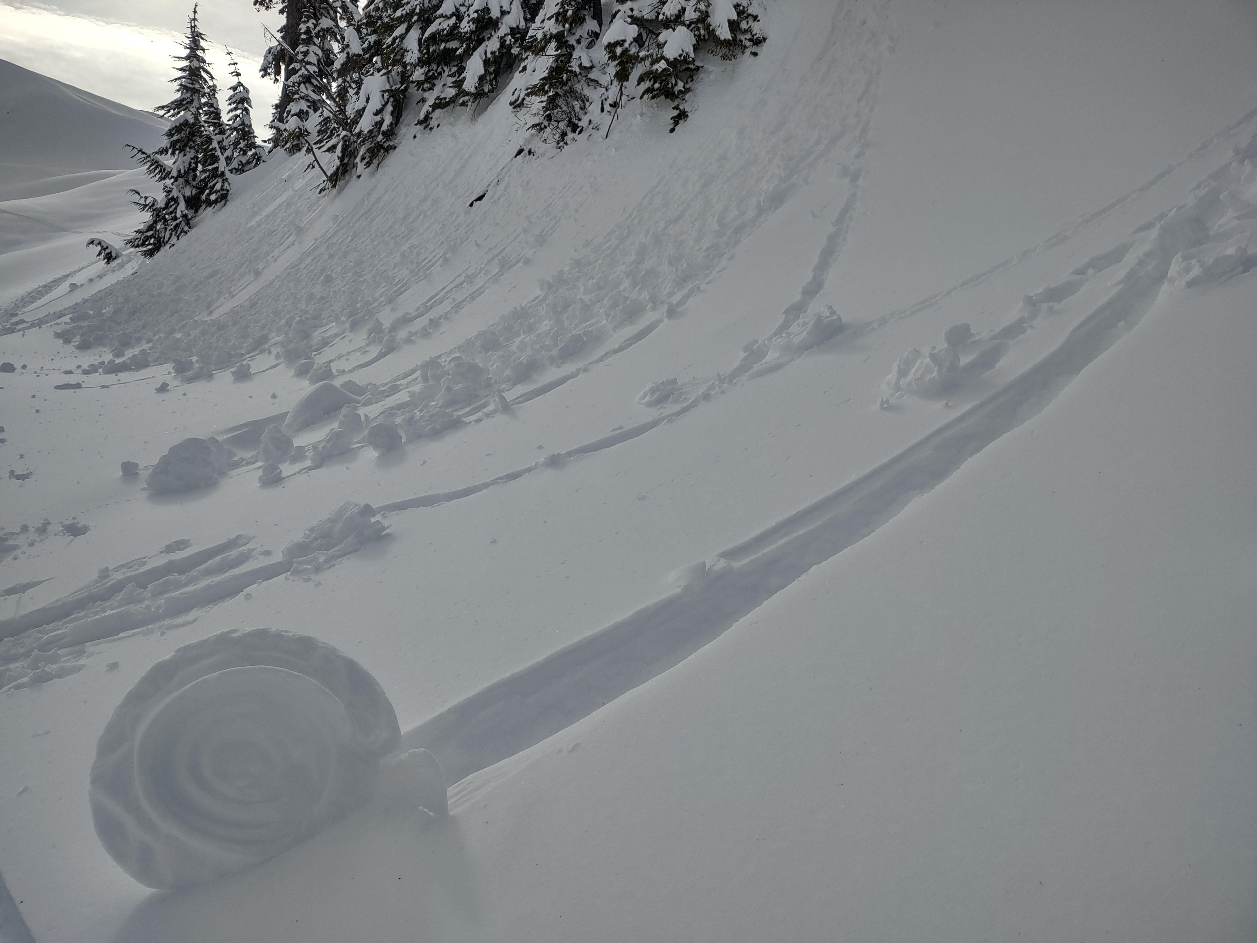
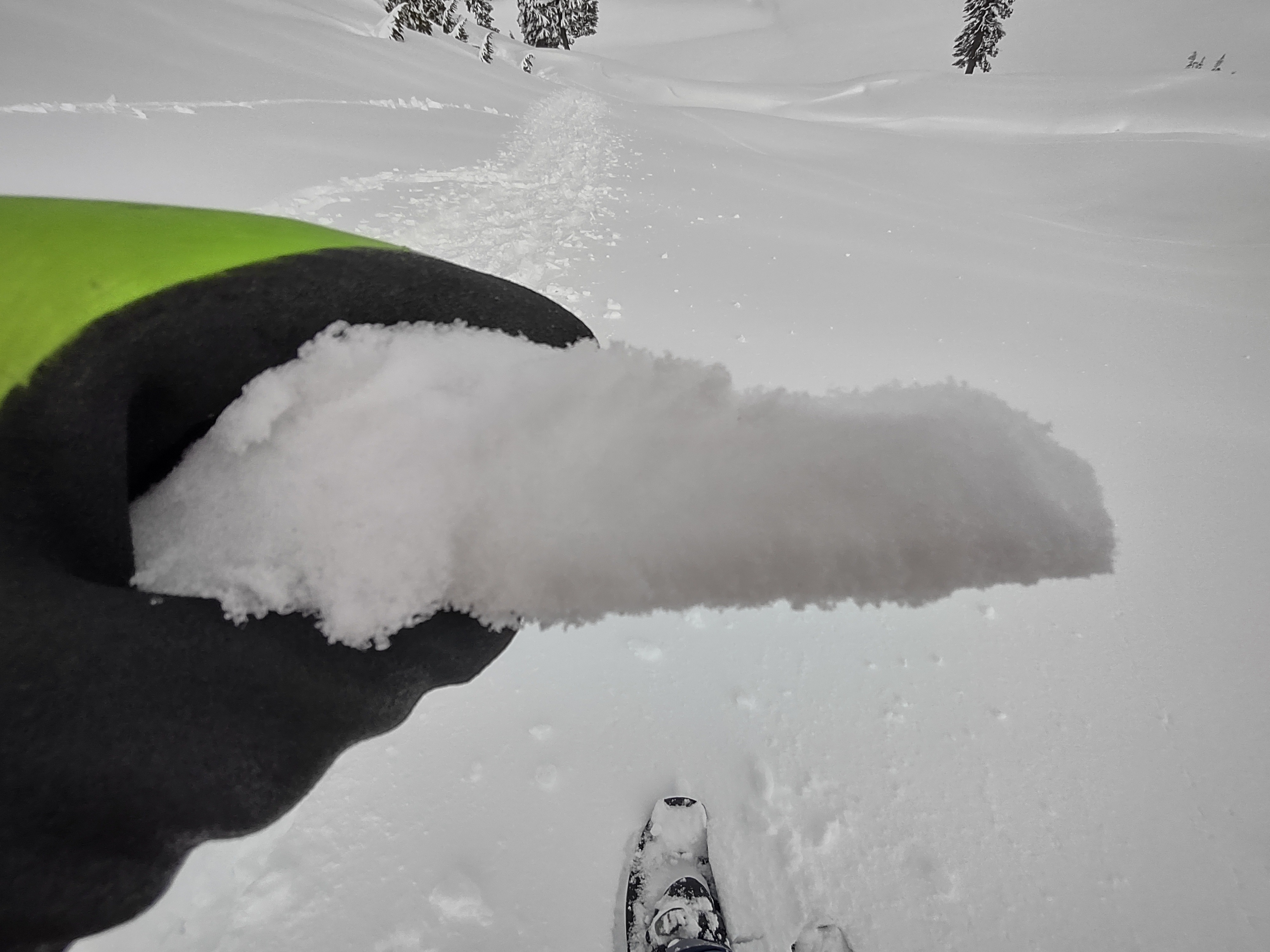
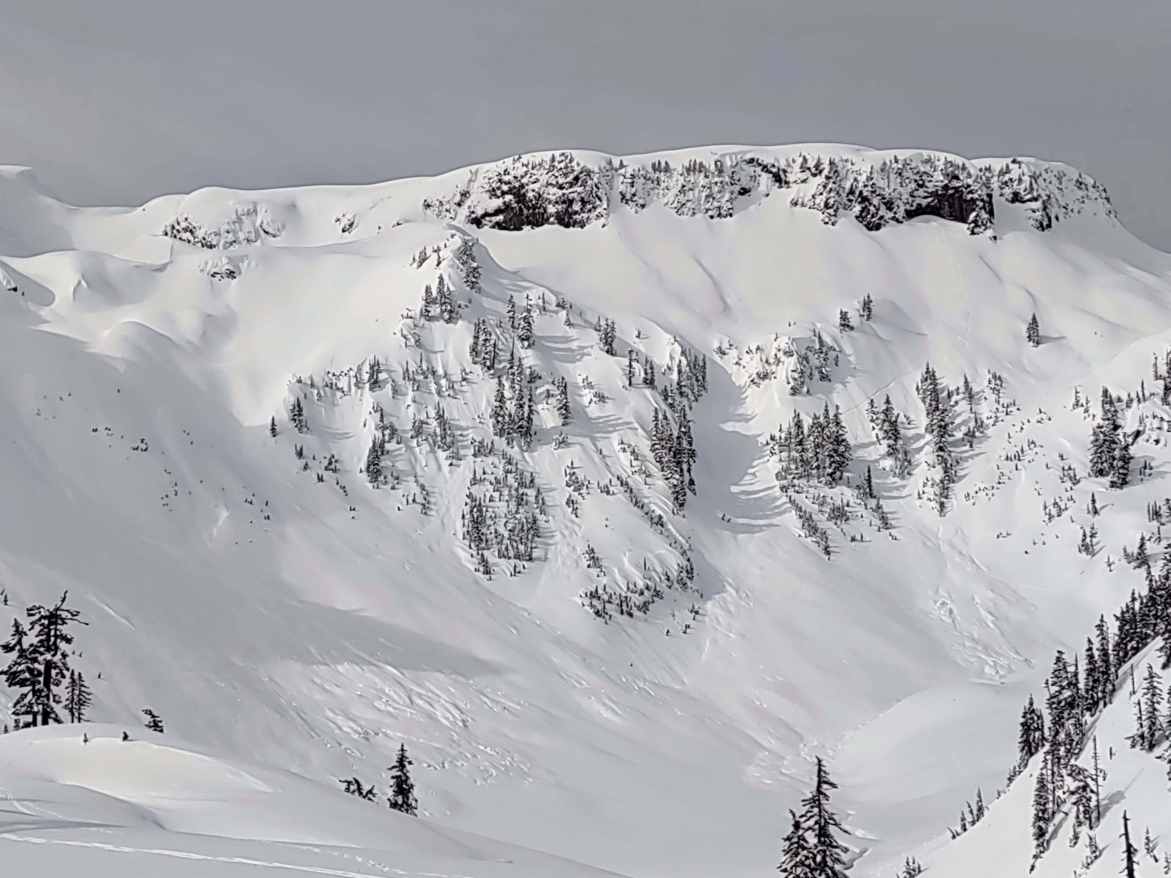
Only handfuls of people out today. Sunshine making solars wet, and a slight greenhouse effect was happening with thicker high cloud cover even on shaded aspects during the morning. Given that, all aspects saw some form of warming. Winds picked up, and in combination with clouds may have subdued some of the warming. Never the less, we still observed wet avalanches just not as many as expected. No notable natural slab avalanche avalanches observed visibly within the new storm snow from Monday and Tuesday. Wet loose galore, roller balls pinwheels and small wet loose slides on steeper slopes holding 5-10 cm of wet snow. Easily triggered roller balls entraining more snow on steeper slopes.
Weather
- Air Temp
- 40
- Cloud Cover
- broken
- Wind Loading
- light
- Recent Snowfall
- 65
- Snow Avail For Transport
- large amounts
Broken high clouds with filtered sun. More intense sun breaks about midday with a notable increase in winds. A slight greenhouse affect was going when clouds were thicker prior to winds increasing. Milder temps.
Snowpack
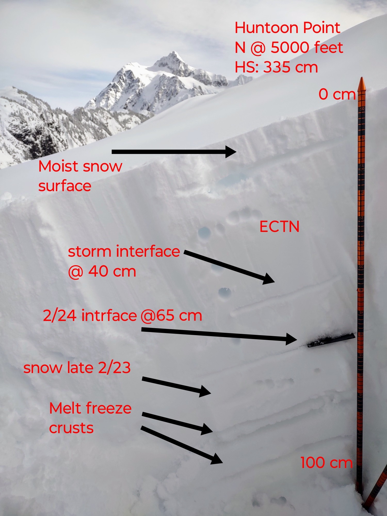
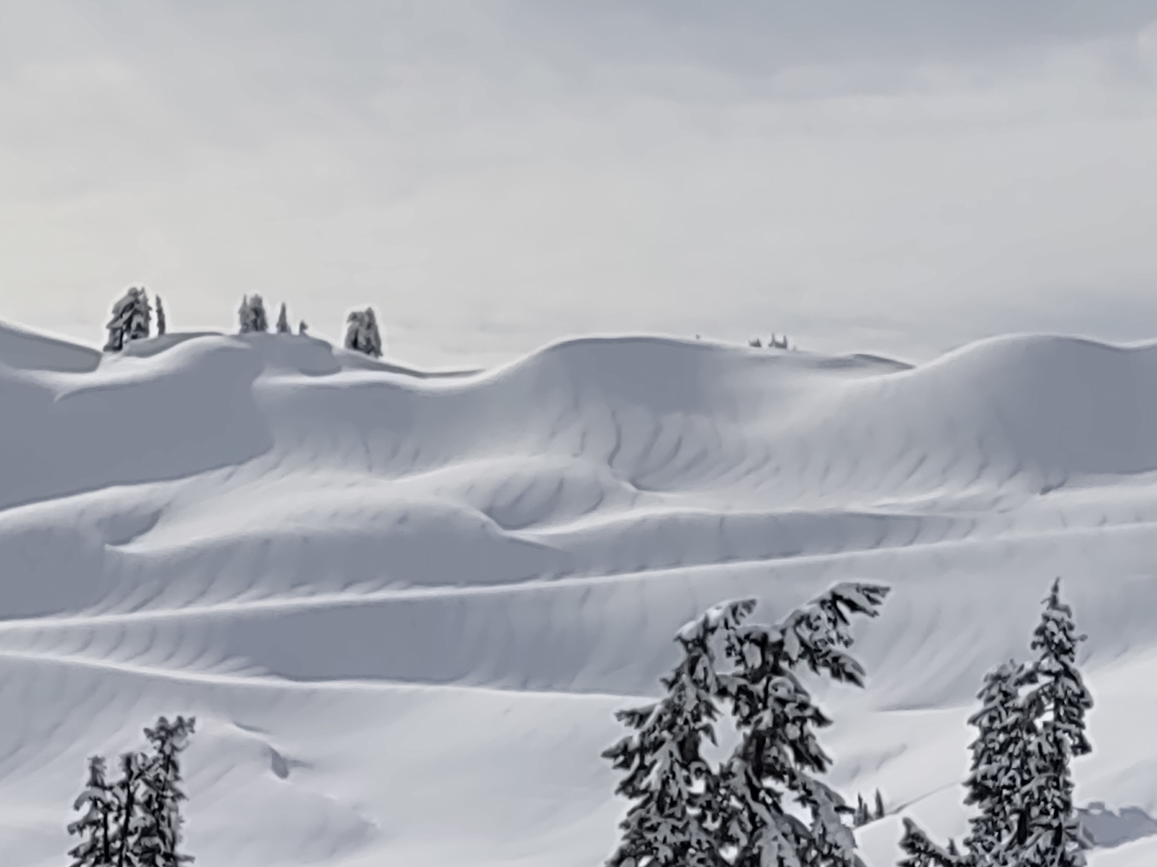
On average I found around 2-2.5 feet of snow over a rain crust from the weekend. All though, the new snow was heavily wind affected. In some places I found wind had striped it back almost to this crust, meanwhile you could find drifting to 3 or more feet. A stiff breeze was blowing through Austin Pass. Wind features that had recently formed were quite stubborn. 65 cm of snow from Feb 24-25. I was able to identify a storm interface at 40 cm. Tests yielded remarkably stable results. Repeated CTs produced CTH22-23 down 40 cm. This storm interface did not show the ability to propagate ECTN. All snow surfaces became moist, with sunshine making solars wet, and a slight greenhouse effect was happening with thicker high cloud cover on shaded aspects during the morning. Once these surfaces went back into the shade and winds picked up, a thin crust was forming in the afternoon on shaded aspects. Despite the lack of visible natural slab avalanche activity there's plenty of snow out there for wet loose avalanches. We observed numerous small slides today plus a few larger ones but the suspect areas and rocky slopes that could still produce large wet slides are still out there.
Avalanche
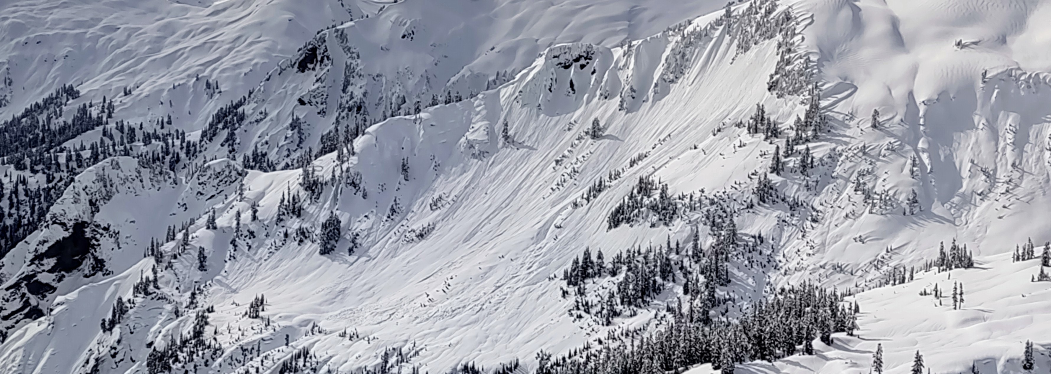
As hard as I looked, I could not find any notable naturals pertaining to the almost 2 feet of snow that fell Monday night-Tuesday. If there were they must have drifted over. Numerous wet loose slides up to D1 on average and a few larger slides present in the western swift creek drainage and mountains north of 542.