
Weather
- Air Temp
- -9F
- Cloud Cover
- scattered
- Wind Loading
- light
- Recent Snowfall
- 18cm
- Snow Avail For Transport
- moderate amounts
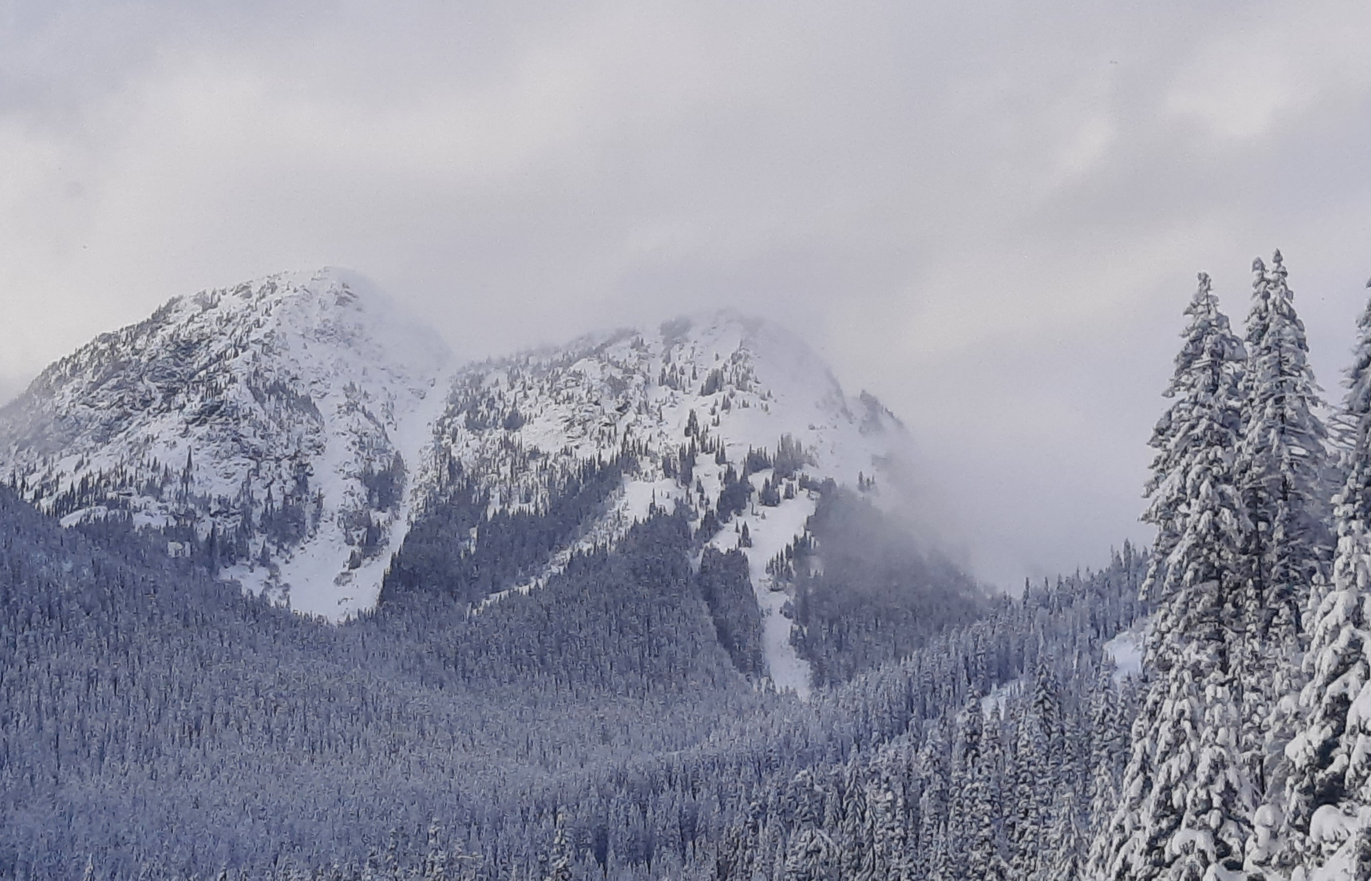
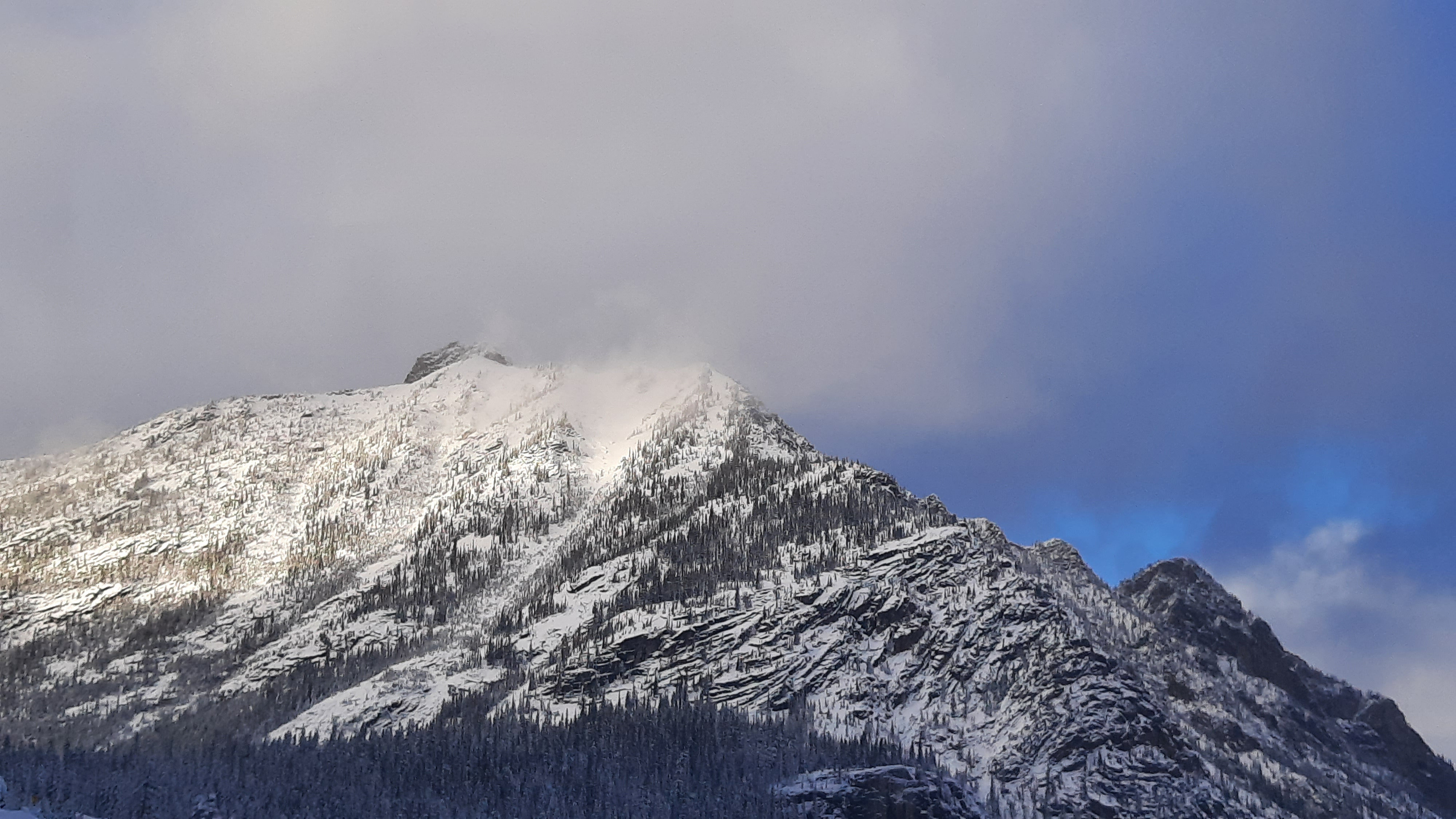
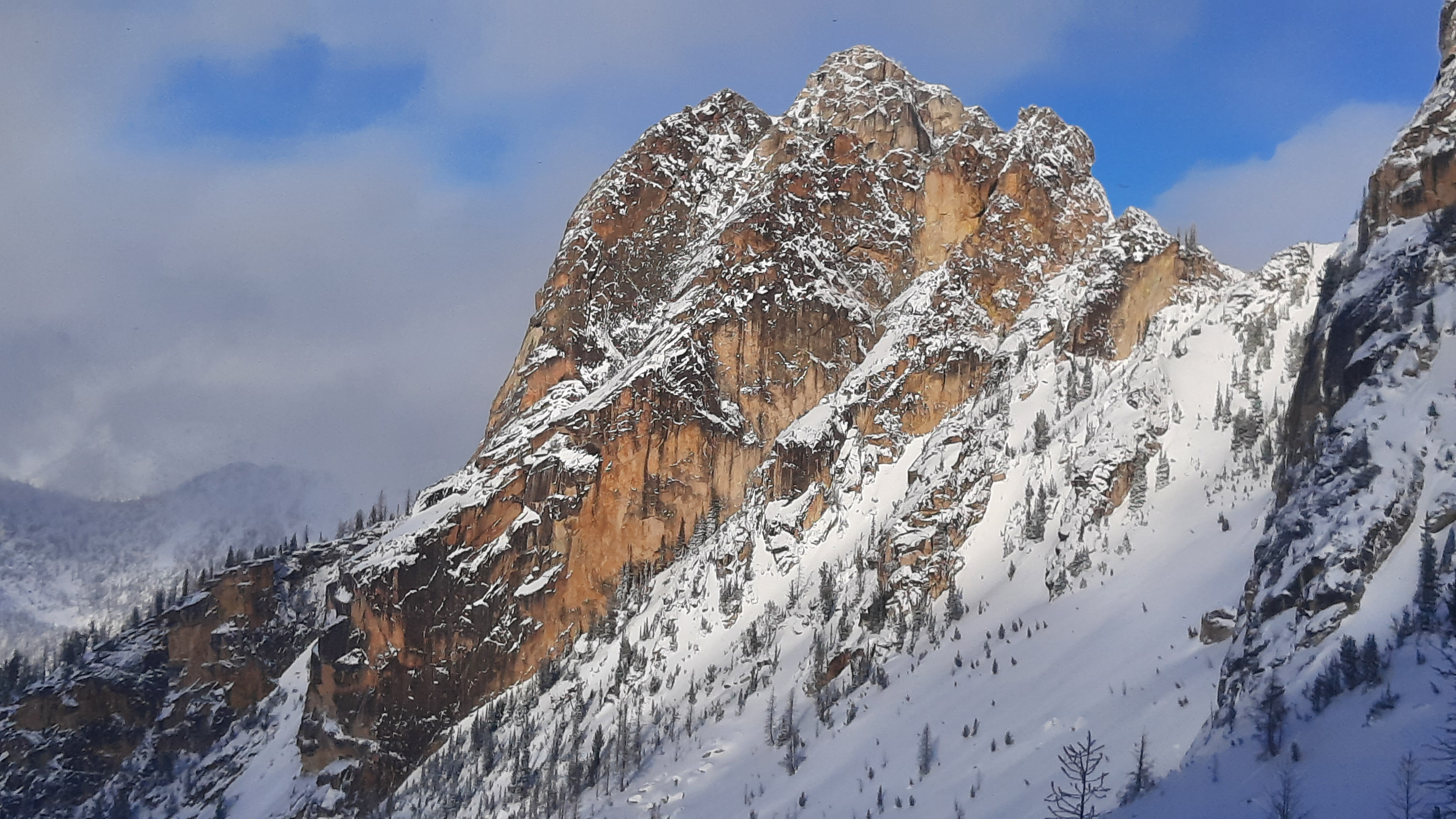
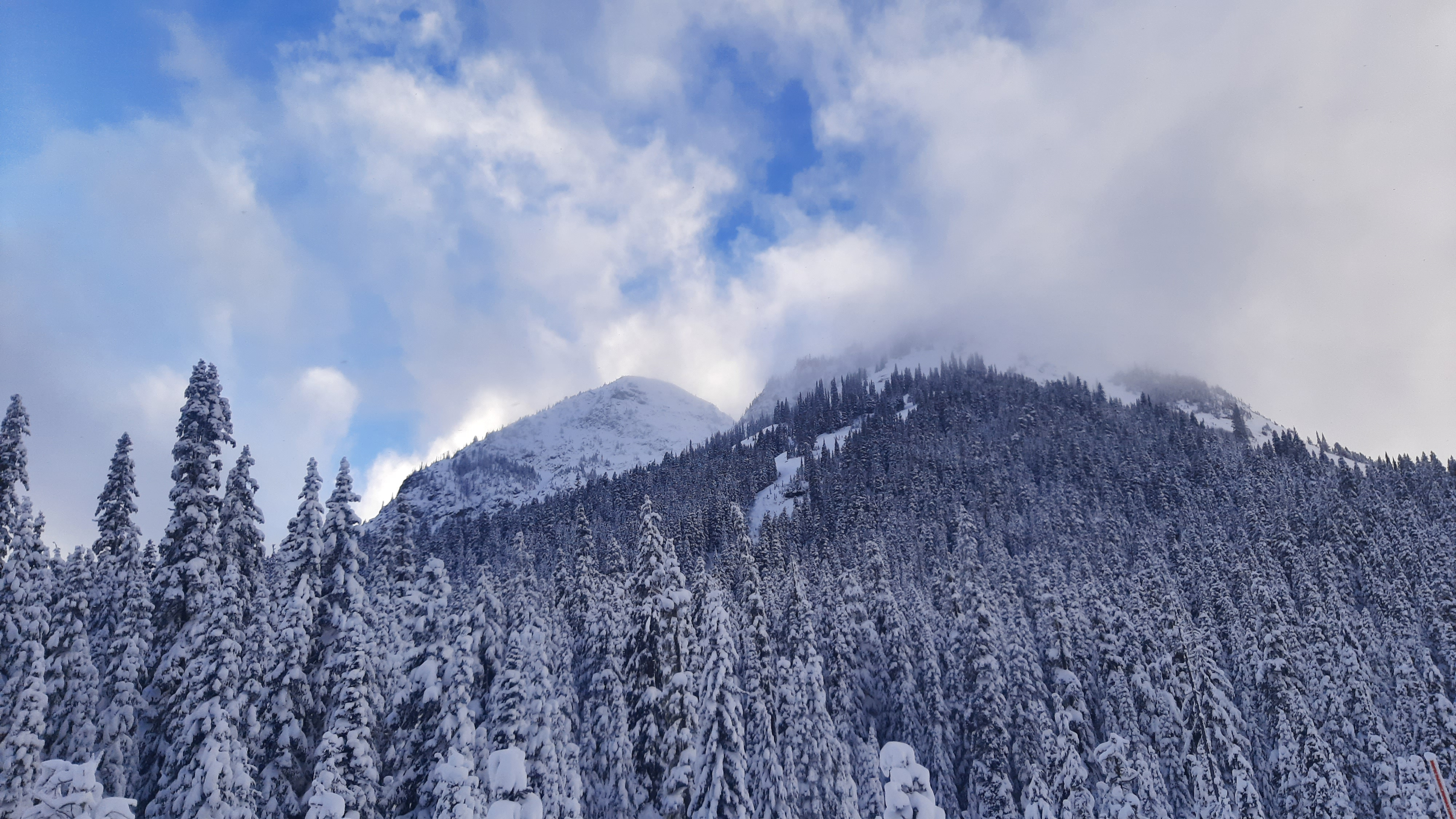
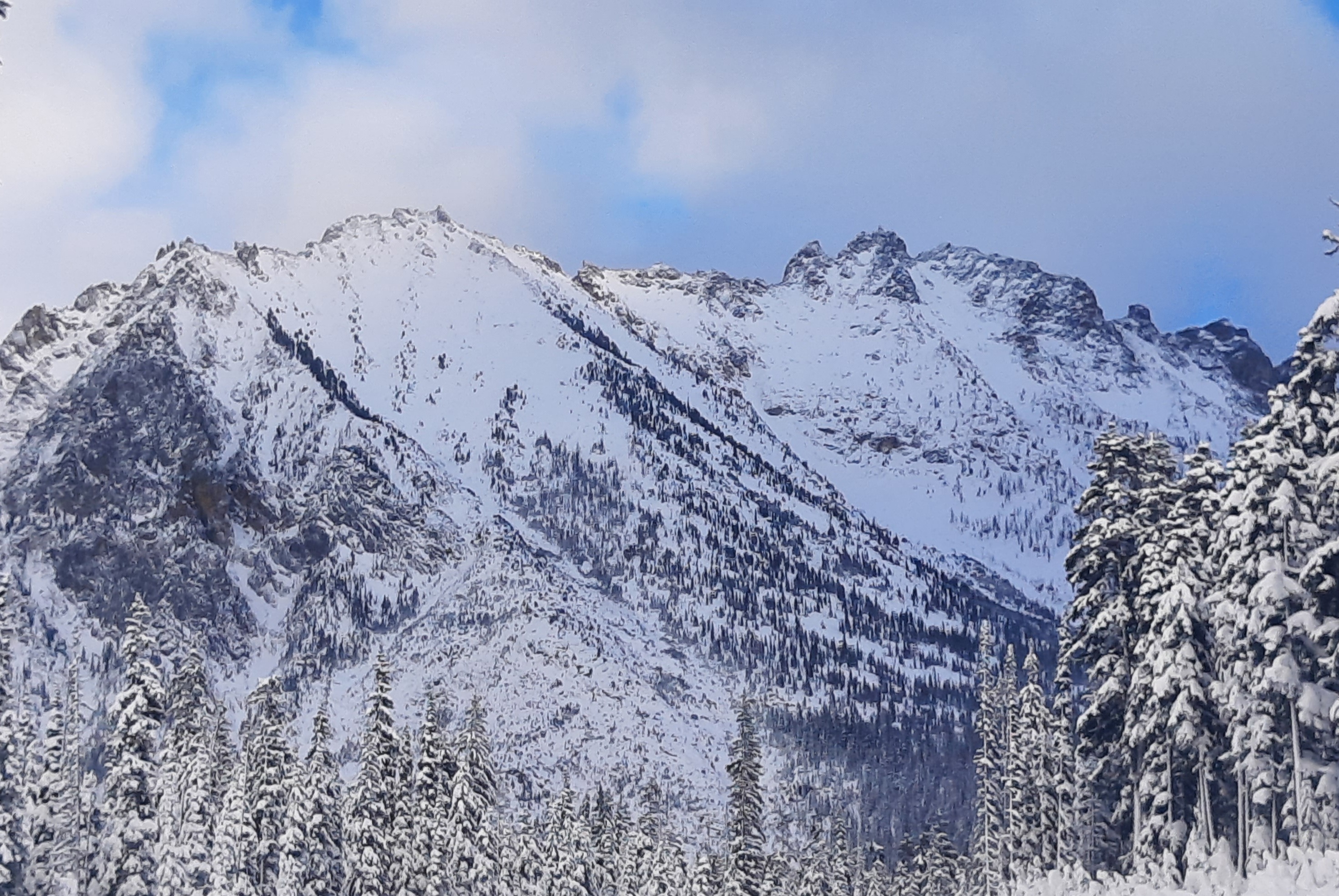
A cool, calm day with progressively colder temps as we gained elevation. No valley inversions. Less clouds to the east, but even WA Pass saw broken to scattered clouds with broken clouds near Rainy Pass. HST averaged 16cm with less east of WA Pass and more to the west. Road level on Rainy Pass HST 20cm. Blue Lake Pk, 67640ft HST 21cm.
Snowpack
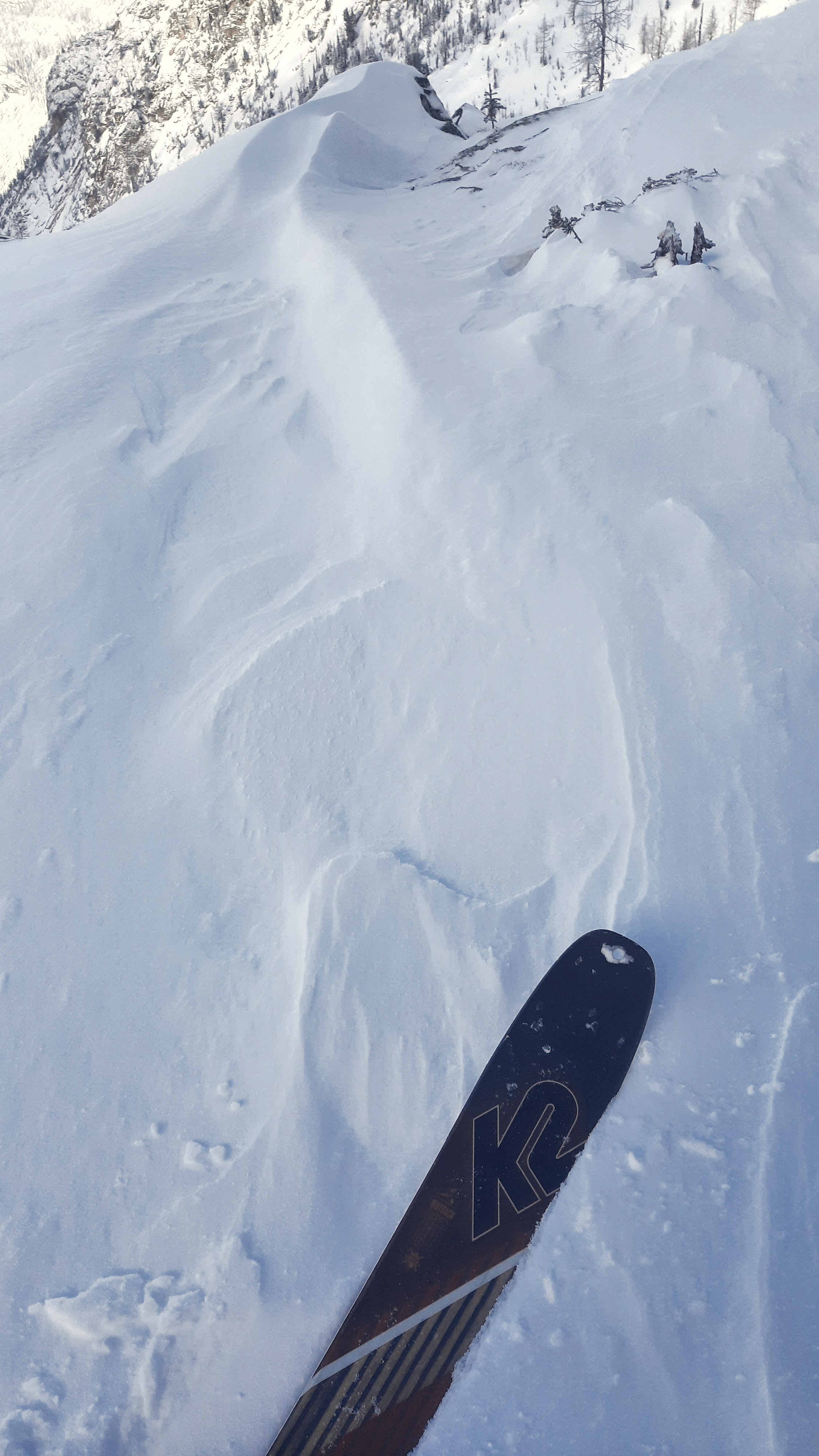
Spx near WA Pass: Snow heights averaged 1 meter from 5,400-7,400ft with up to 120cm at 6,500ft. Above 6,500ft, the snowpack became quite variable with many exposed rocks due to November wind scouring. 16-21cm of low-density storm snow was on the surface and mostly not wind-affected even at upper elevations. The 12/7 crust was 30-35cm below the surface. On shaded slopes, the crust was thin with adjacent weak snow. The midpack consisted of supportive, Pencil-Pencil+ hard slabs with the bottom 15cm being a mix of eroding crust and stout melt forms.
At Rainy Pass, the 12/7 crust was much harder and was an obvious ice layer rain crust.
In a profile on Blue Lake Pk, 6,737ft, WNW we found HS 97cm, and HST 18cm. The 12/7 crust was ↓31cm. Most notably, it was thin and friable. Above was a 1cm layer of 0.5mm rounding facets, and below was a 1-2cm layer of 1.0mm facets and 0.5mm rounding facets. Some grains in this lower layer were quite angular and sharp. We found a crust 15cm above the ground with an underlying, thin layer of weaker, of 4Finger+ rounding facets and melt forms. The bottom 10cm were 1Finger melt forms. The most notable test results were clean, planar shovel tilt results under the 12/7 crust. Multiple compression tests produced no sudden results.
Another party in the Blue Lake couloir reported that the 12/7 crust was 50cm below the surface. Like many couloirs, we presume this area was wind-sheltered and filled in from snow shedding off the walls.
Avalanche
A few D1 natural and triggered dry point releases in the storm snow, all in extreme terrain above 6,000ft.