
Quick report
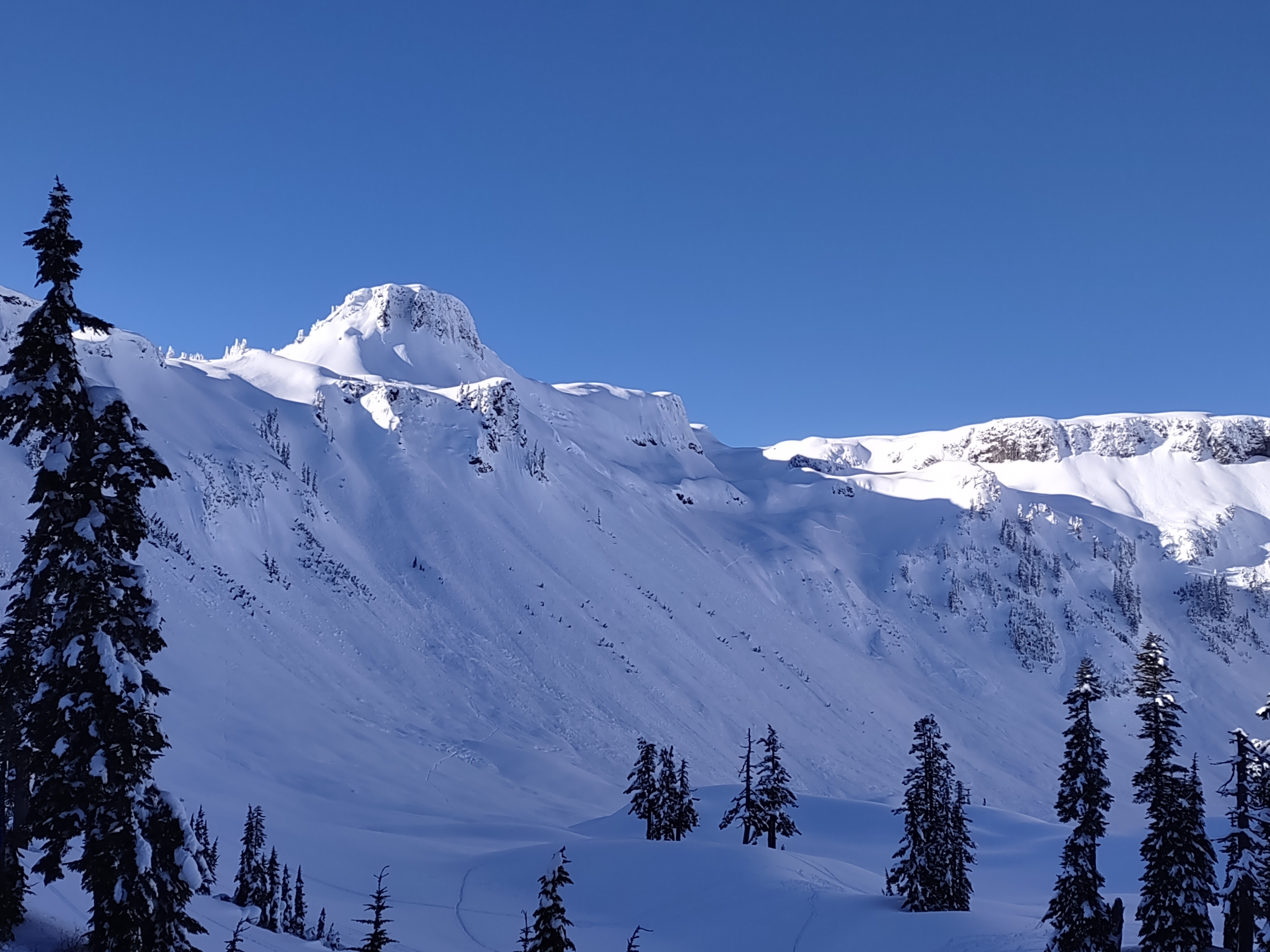
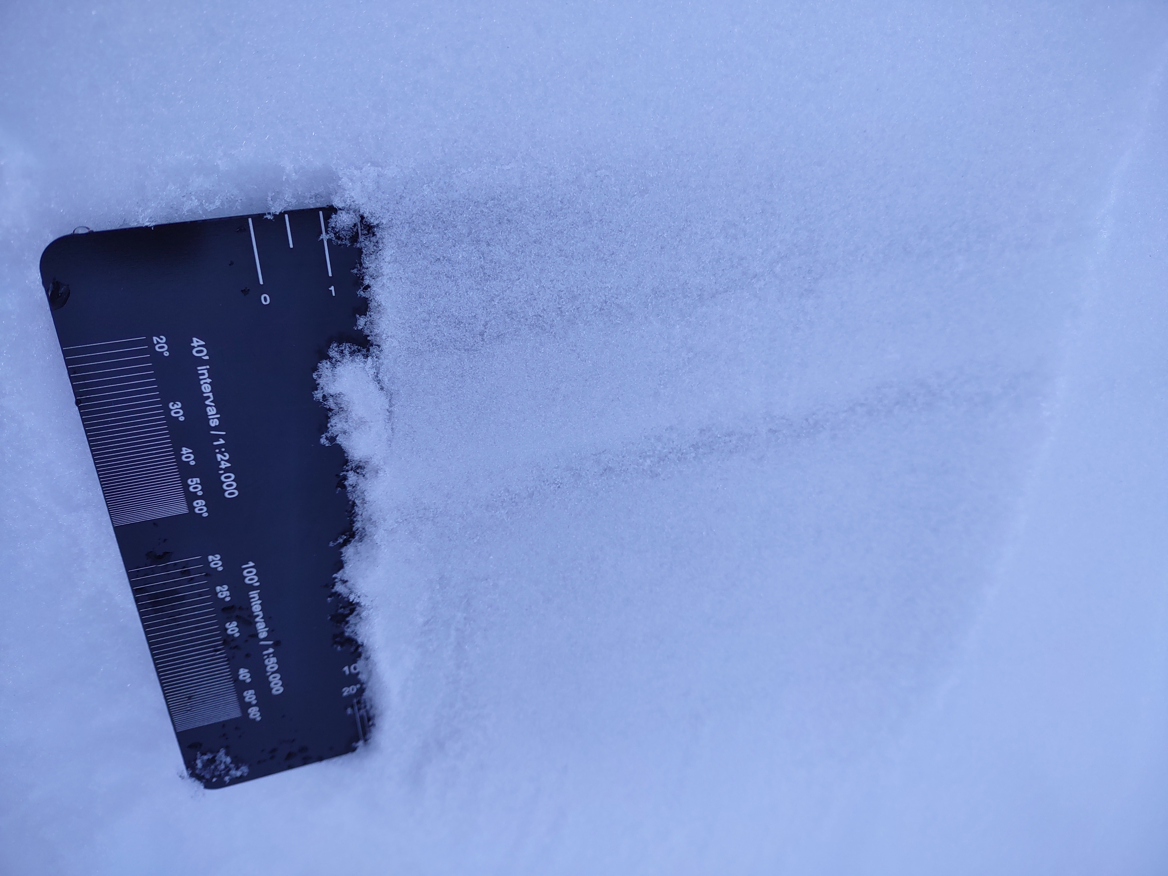
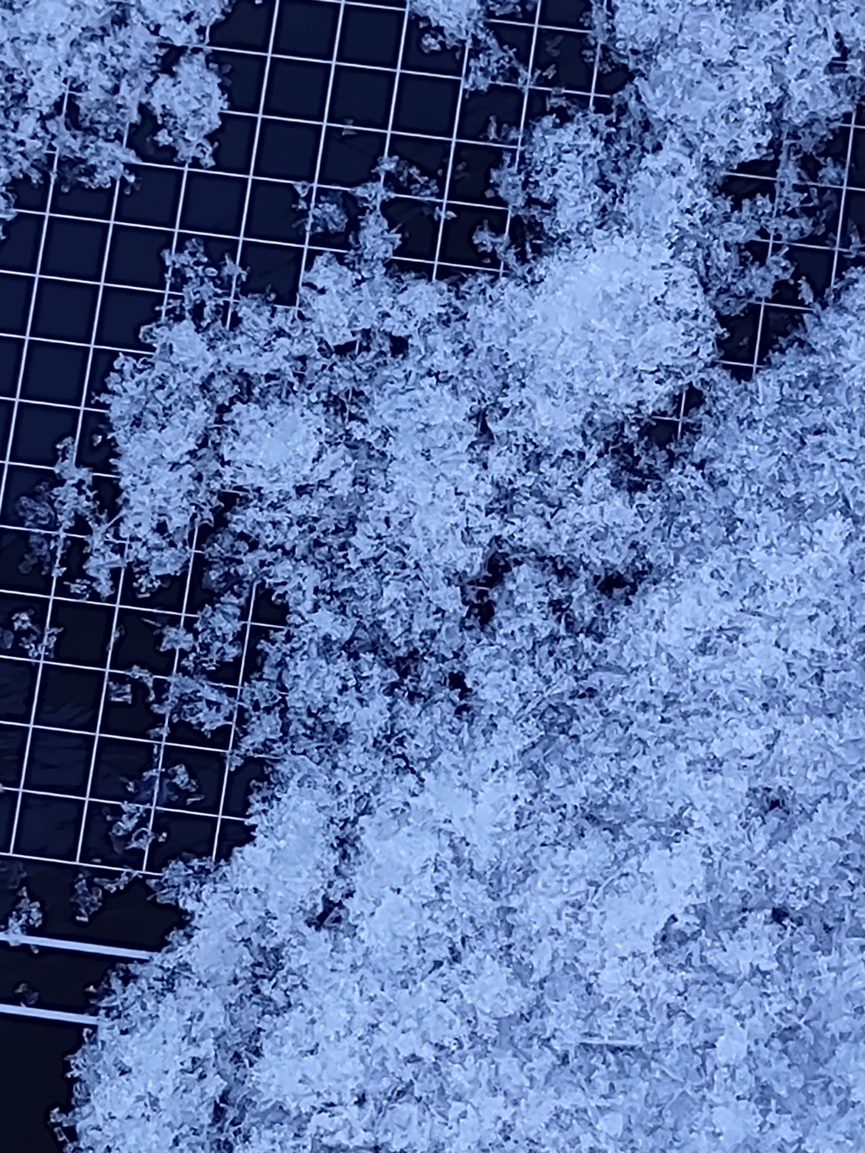
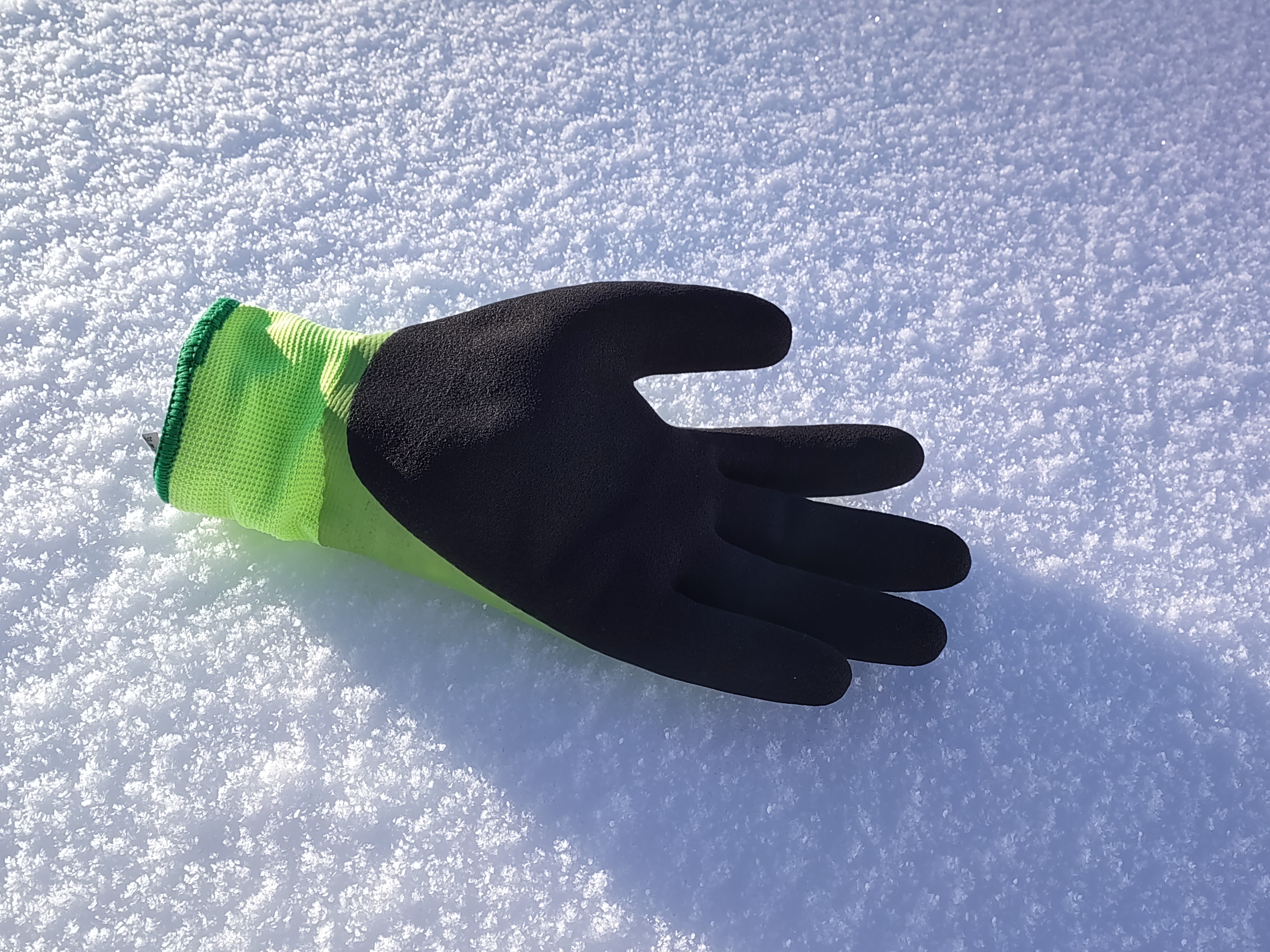
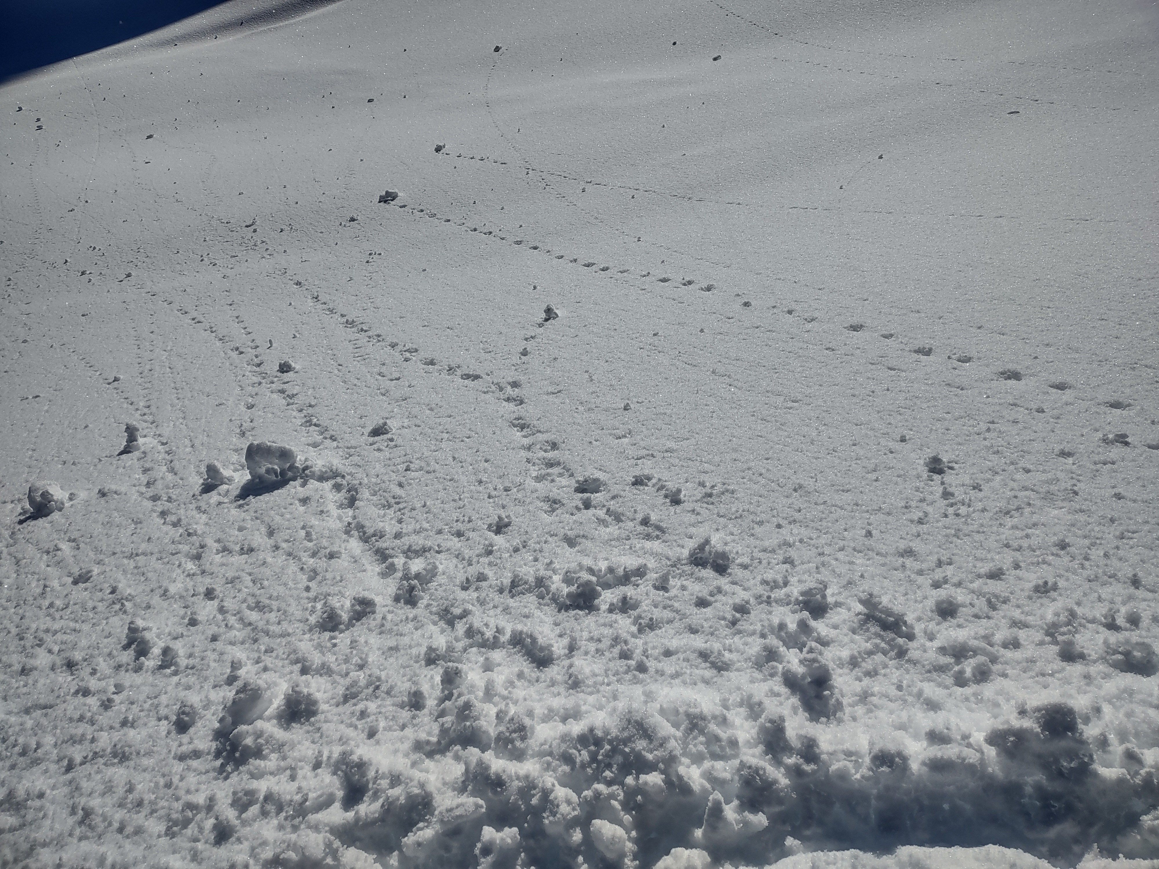
We enjoyed great visibility. A crust is capping all aspects which seems to have locked up the snowpack at mid elevations. The crust is breakable with soft dry snow underneath. It was also breaking down on full solar aspects, and triggered some rollers mainly S therefore it may have been possible to trigger wet avalanches in the afternoon on steep south facing slopes. Previous avalanche activity was seen from Saturday into Sunday, and a handful of new wet avalanche activity was observed today. New surface facets formed during clear skies Monday morning. These were getting destroyed on solar aspects but are holding on in shaded areas.
Weather
- Air Temp
- 30s
- Cloud Cover
- clear
- Snow Avail For Transport
- none
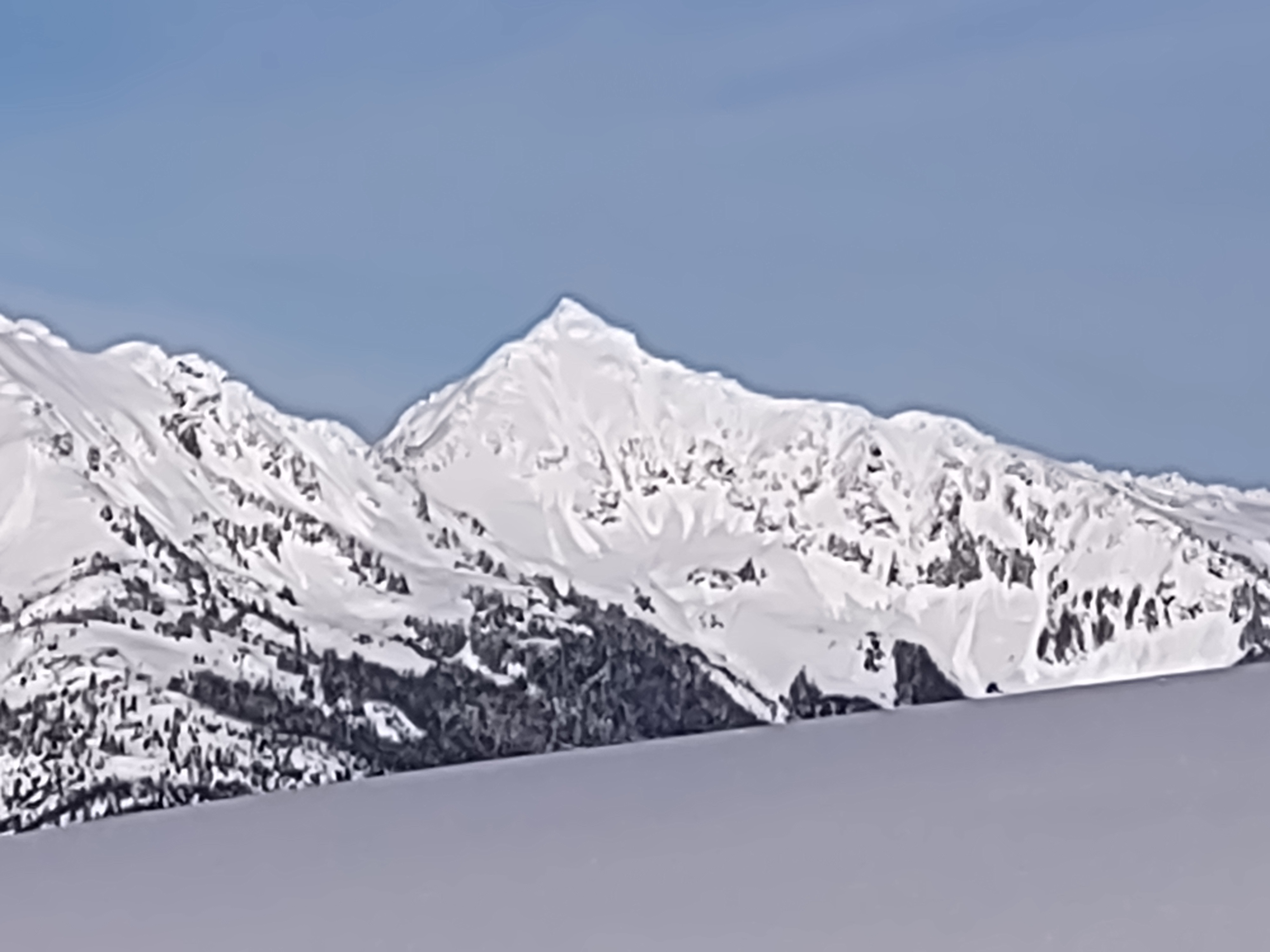
Sunny, beautiful and bluebird with almost no wind in our area and relatively warm mountain temps for January.
Snowpack
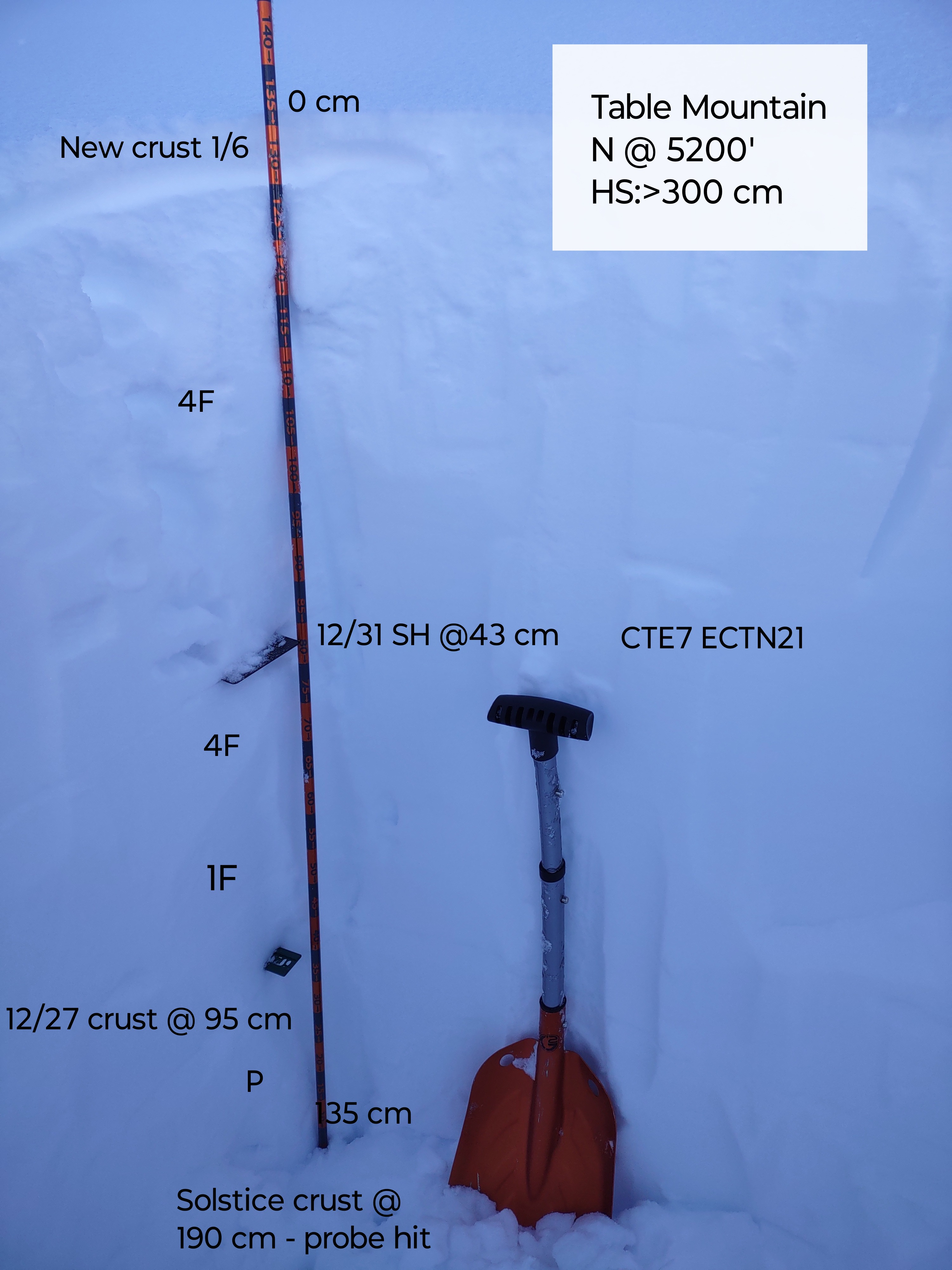
A thin surface melt freeze crust was present on all aspects up to 5000 feet, however it was a bit thinner there. I suspect the crust may be found up to at least 6000 feet. Dry snow being transported by east winds was seen in the high alpine terrain of Baker and Shuskan during the morning. I dug a pit on a N aspect @ 5200 feet on Table Mountain, to dry to investigate if I could find any buried surface hoar. I did of which find decomposing and rounding surface hoar fragments at 43 cm, which presented as a weak layer in CT informal snowpack testing. Results CTE7 but this layer did not show the ability to propagate across an ECT. ECTN21. The December 27th crust was 95 cm deep. Prob strike on the solstice crust at 190 cm. The snowpack is looking juicy at mid and upper elevations, I measured another 270 cm from the bottom of the 140 cm test pit to the ground. But is still thin at low elevations. There is almost no snowpack at 3000 feet and the contrast between basically no snowpack and the actual snowpack is sharp.
Avalanche
- Size
- D2
- Type
- SS
- Aspect
- N
- Trigger
- N
- Elevation
- 4800 ft
We saw natural storm slabs that failed Saturday night into Sunday morning, as well as lots of small wet avalanches and large rollers from Sunday. Intense sunshine today warmed south facing slopes and a number of new wet avalanches appeared on east peak of Goat Mountain.