
Quick report
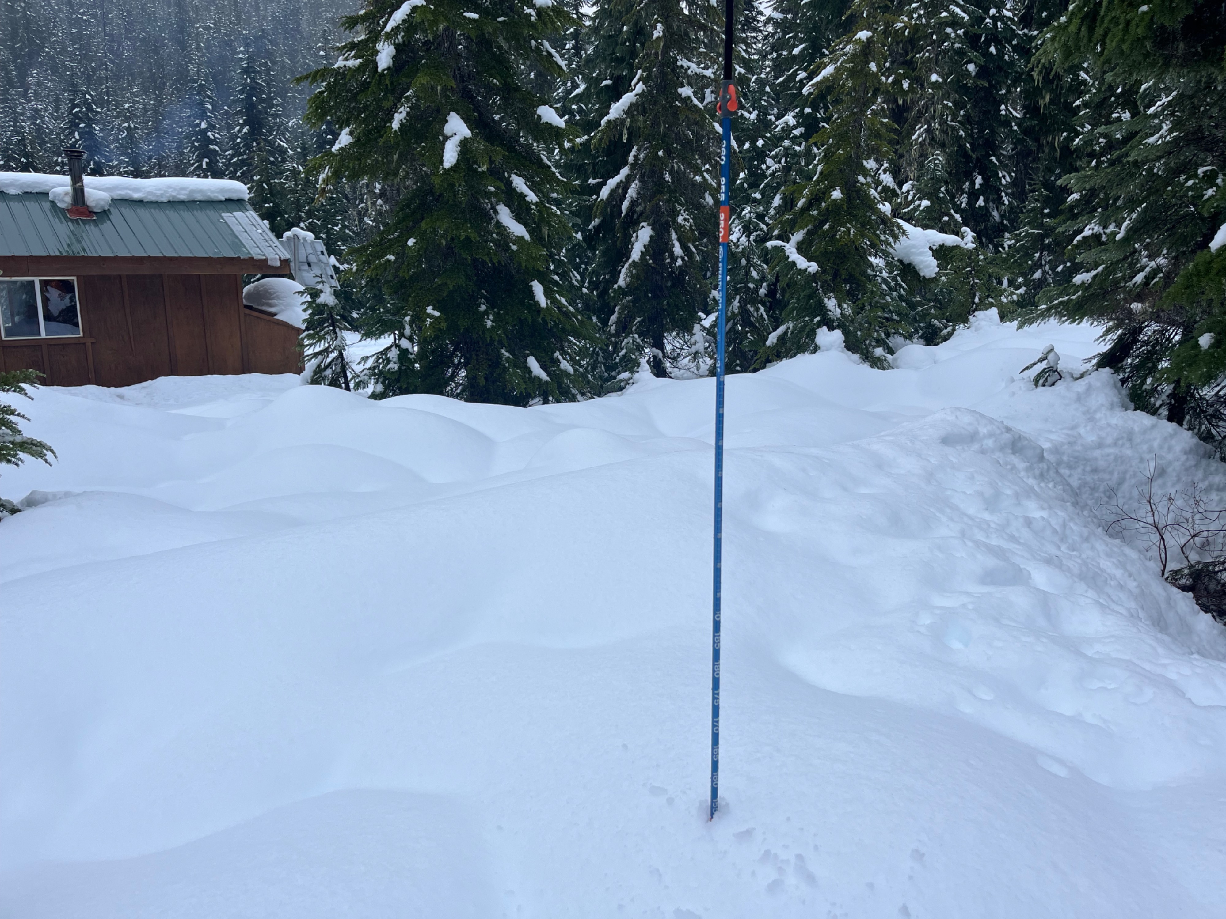
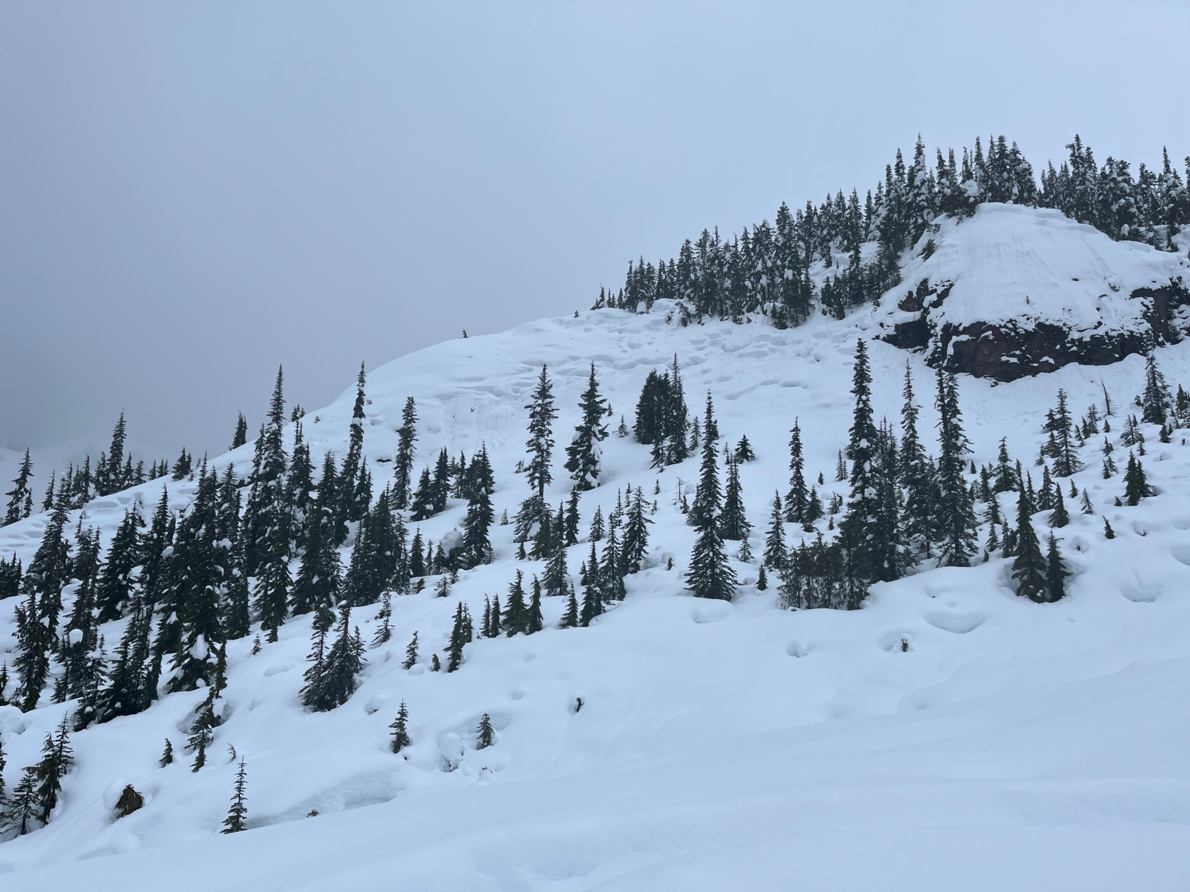
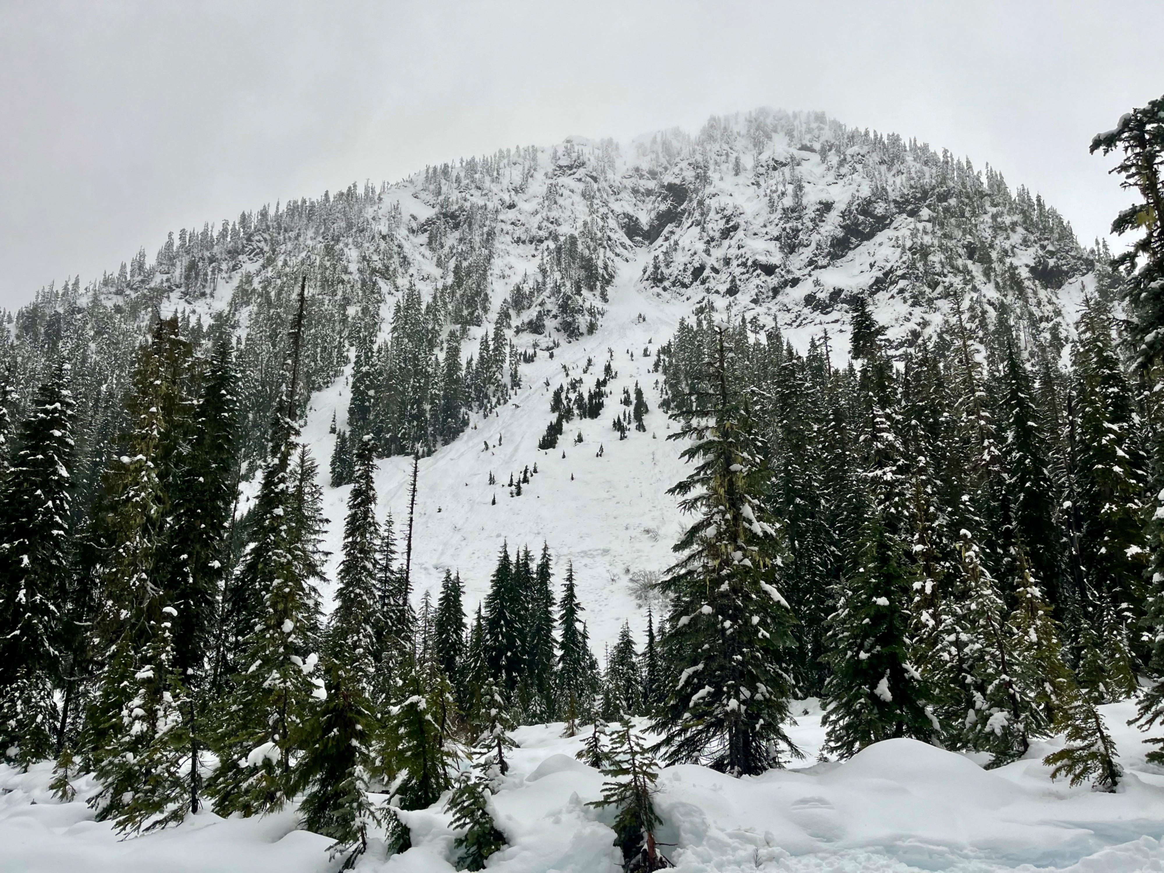
It was a warm, moist day and the shallow storm instabilities were quickly healing. This storm was a net gain above about 3200', but below that, there was a lot of melting during the day. Upper elevation snow was drier and more wind affected.
Weather
- Air Temp
- 32
- Cloud Cover
- obscured
- Wind Loading
- previous
- Rain Elevation
- 3800
- Recent Snowfall
- 25
- Snow Avail For Transport
- large amounts
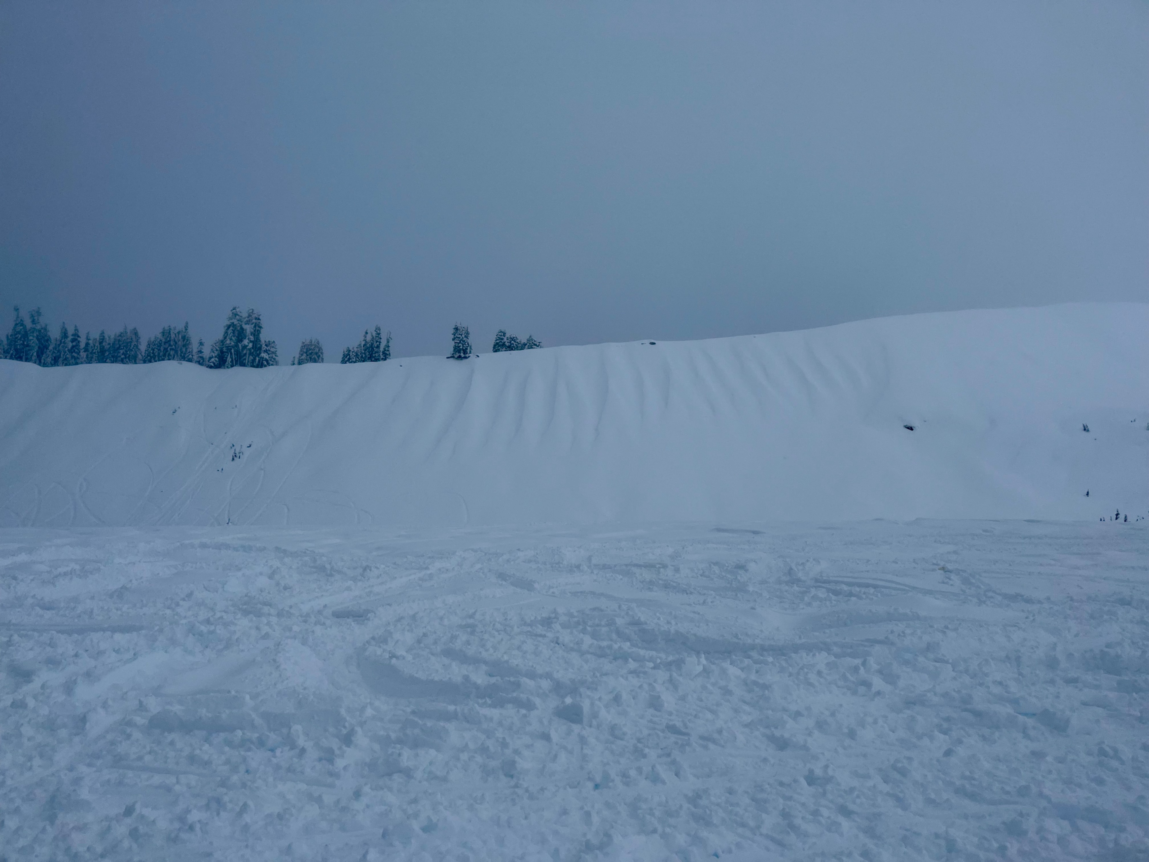
Rainy down low, wet snow up high. Light wind with no currrent transport, but old drifts visible.
Snowpack
Snow surfaces were wet and heavy until about 5500ft, where they started getting lighter. New snow was upside down- wetter and heavier in the top 15cm (4F) and lighter and drier near the start of the storm (F, 10cm). Storm instabilities were found beneath the harder snow.
A thin crust was present beneath the new storm layer from the previous day's morning sunlight. Overall, aside from the surface layers, the snowpack was right side up and well bonded all the way down to the deeper crusts by the 12/22 Solstice Crust. Snow was well bonded to that crust too.