
Quick report
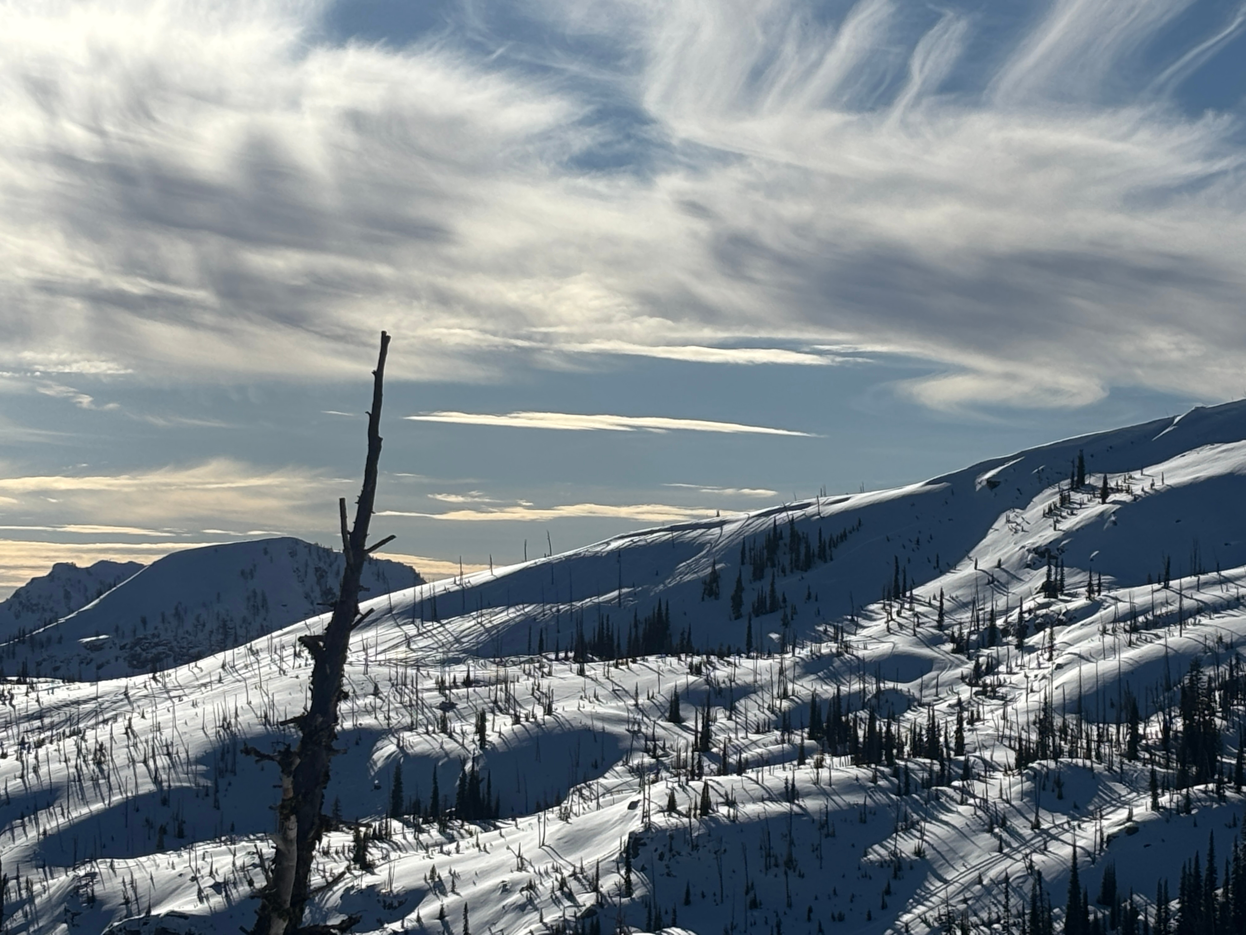
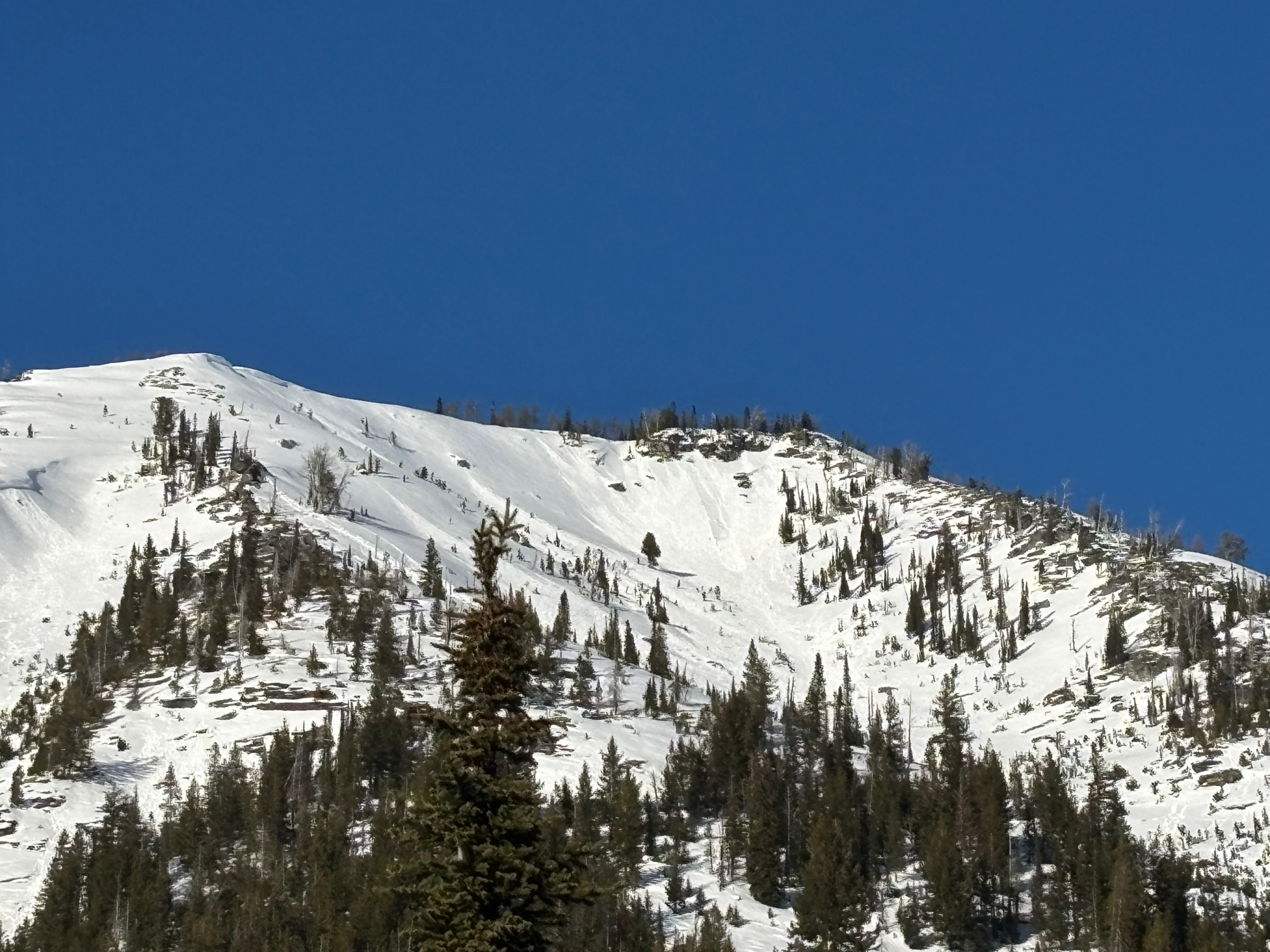
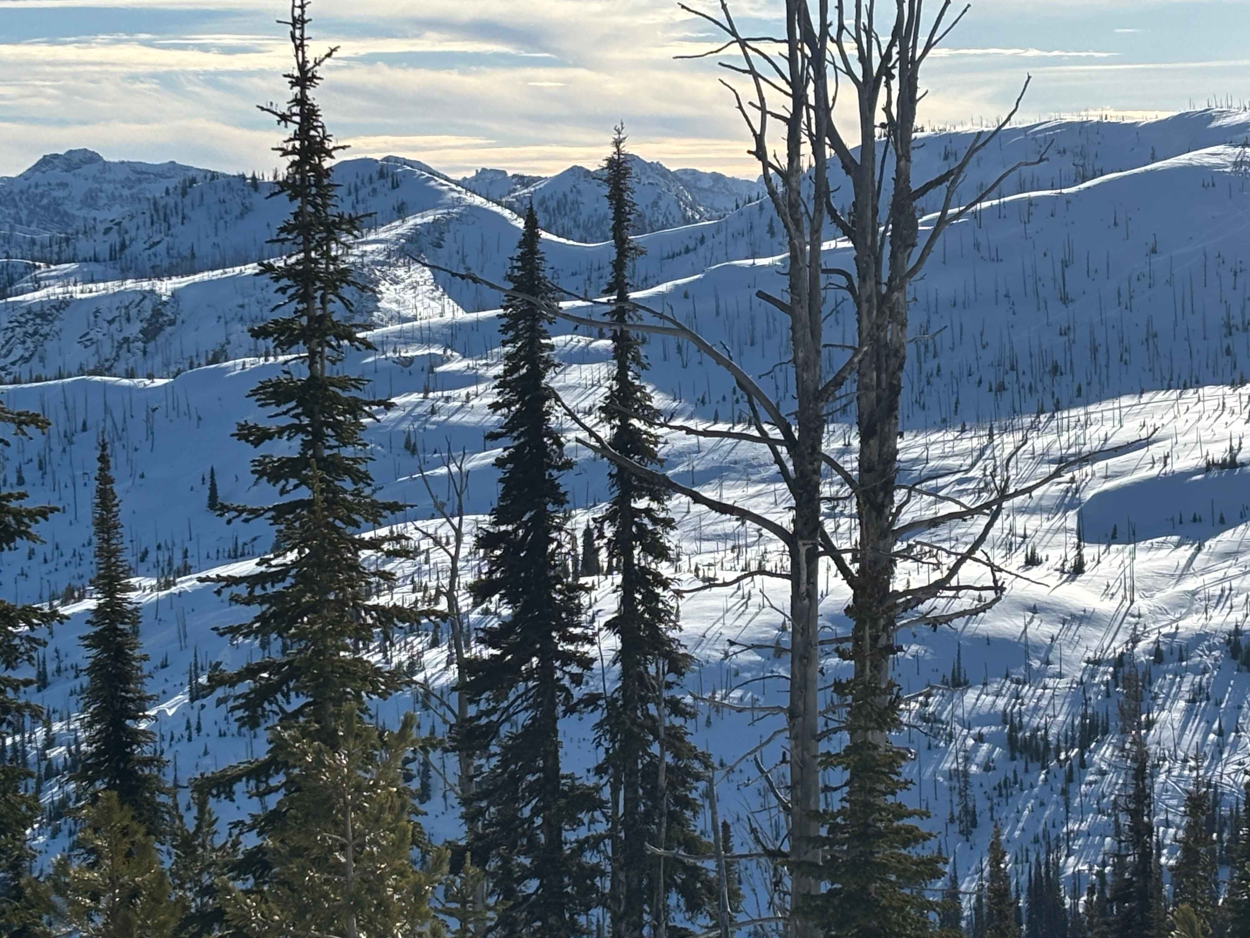
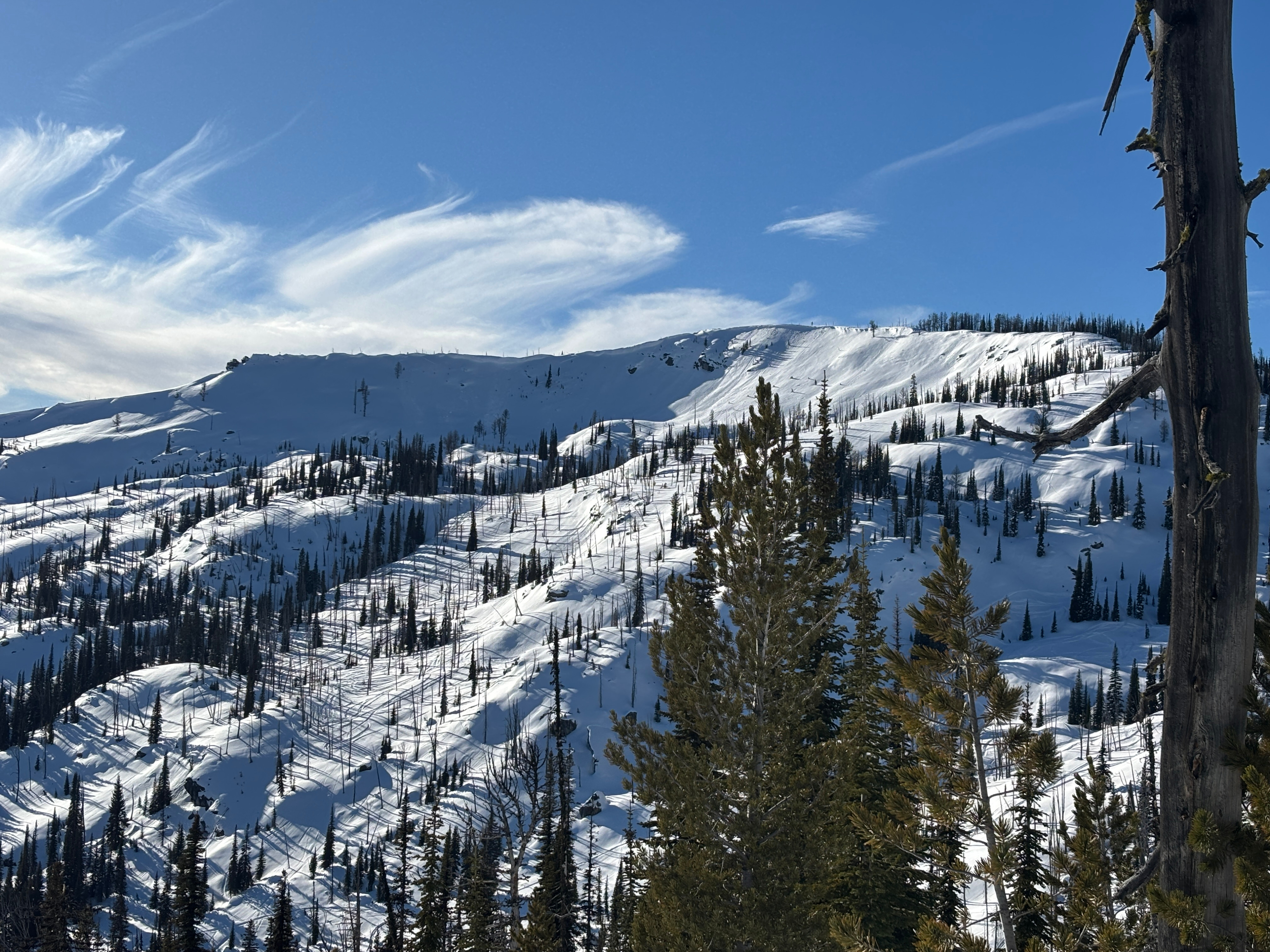
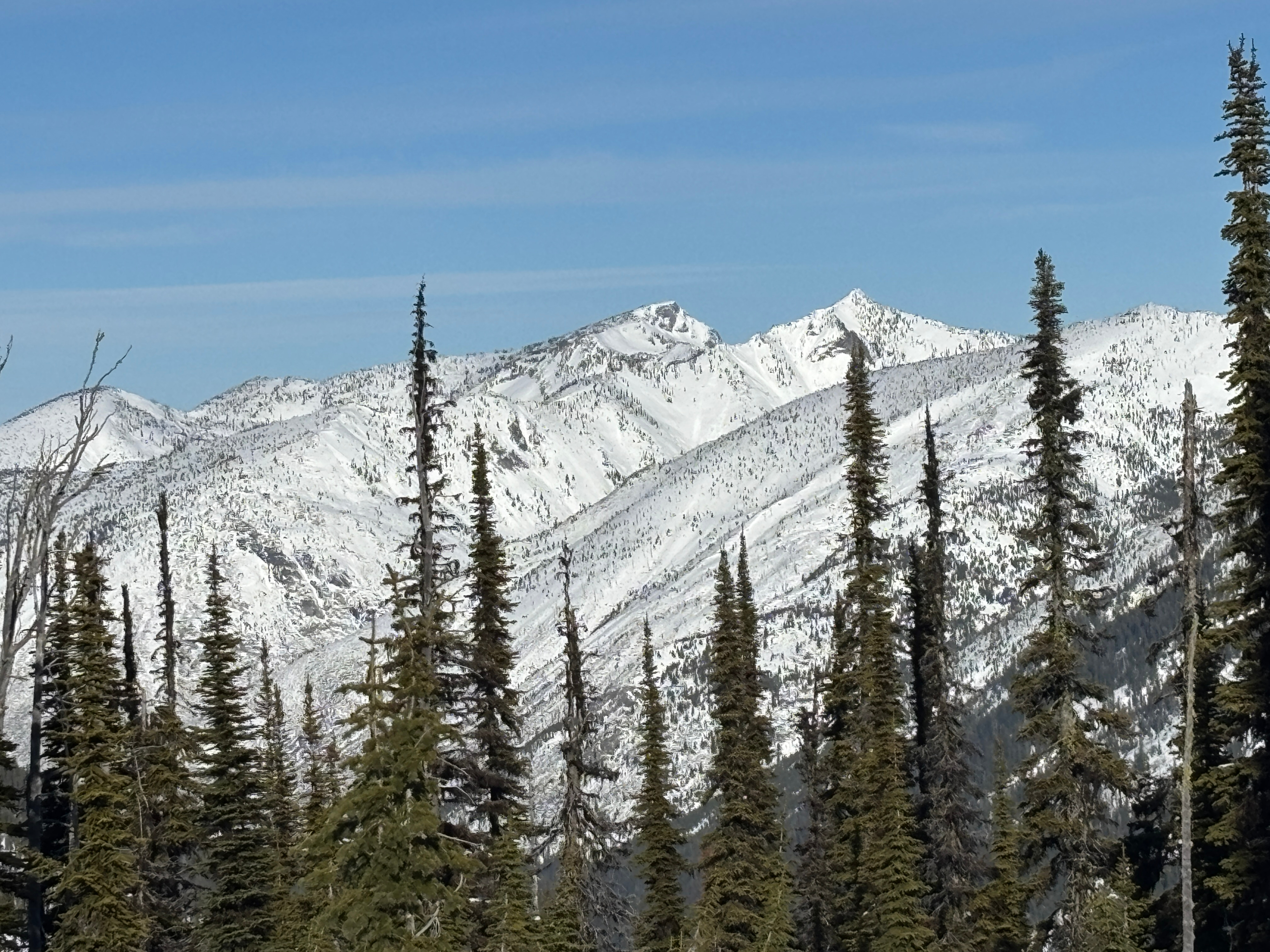
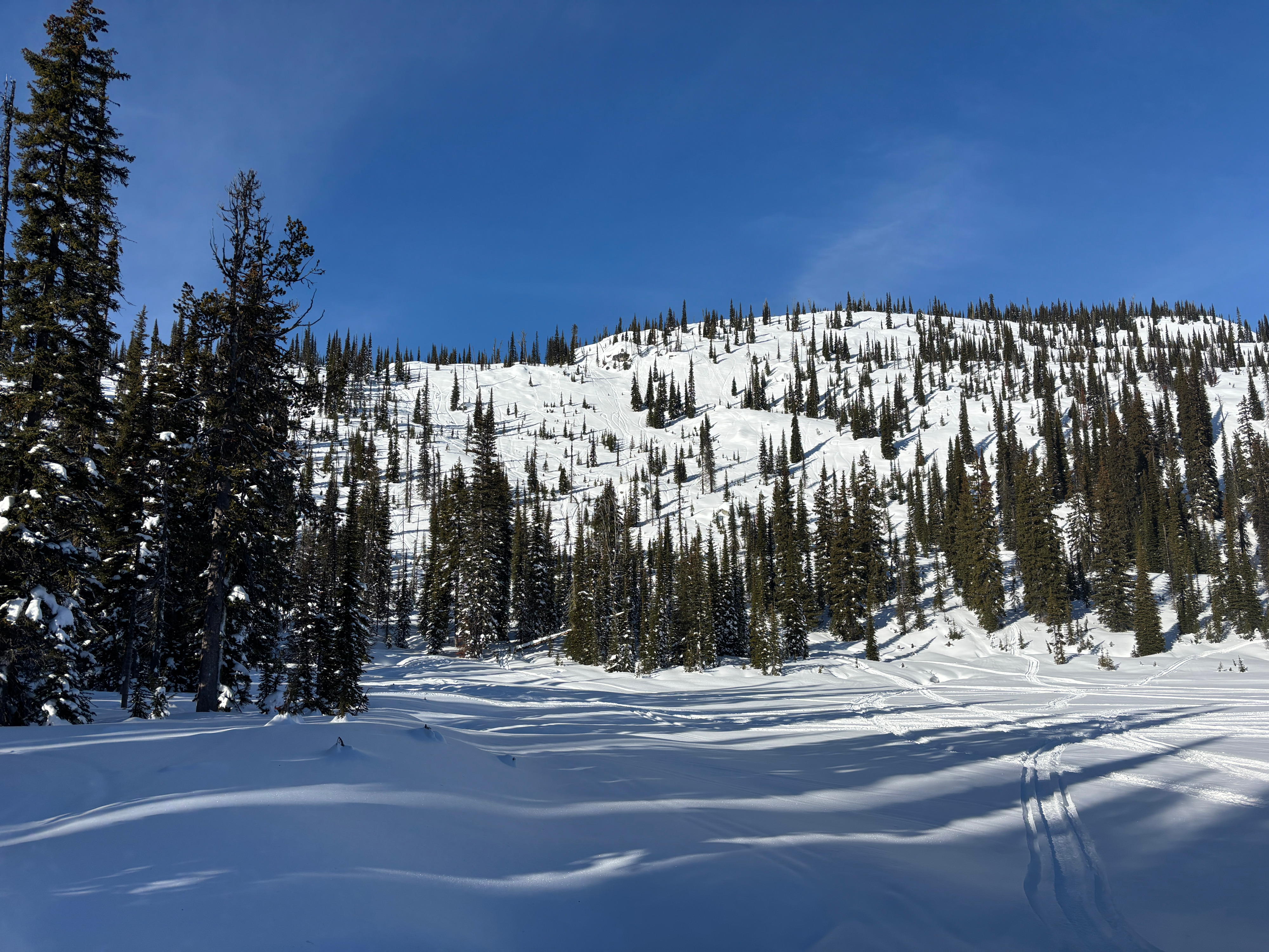
The primary goal today was to travel through as much of the upper Lost Horse snowmobile terrain as possible to assess usage, snow depth, and look for evidence of unreported avalanches. We found a deep and generally stable snowpack. Ridgelines along the Bitterroot crest showed signs of previous corncie growth and some natural failures, but no slab avalanches were observed. People have been pushing into large terrain without triggering avalanches, increasing my confidence that the mid December weak layer is unreactive if present in upper Lost Horse.
No signs of instability aside from small wet loose observed.Weather
- Air Temp
- 33
- Cloud Cover
- few
- Wind Loading
- previous
- Rain Elevation
- n/app
- Recent Snowfall
- none
- Snow Avail For Transport
- small smounts
Warm with temps into the low 30s at upper elevation, minimal wind, and strong sun.
Snowpack
Upper Lost Horse had a deep and seemingly stable snowpack. Snow depths at the hut were about 2 feet, rapidly increasing to 5+ feet in the mud lake area. Upper elevation terrain had a thin breakable crust from last week about 2 feet down, and a more stout crust 4+ feet down. No weak snow was observed around these crusts in 5+ pits.
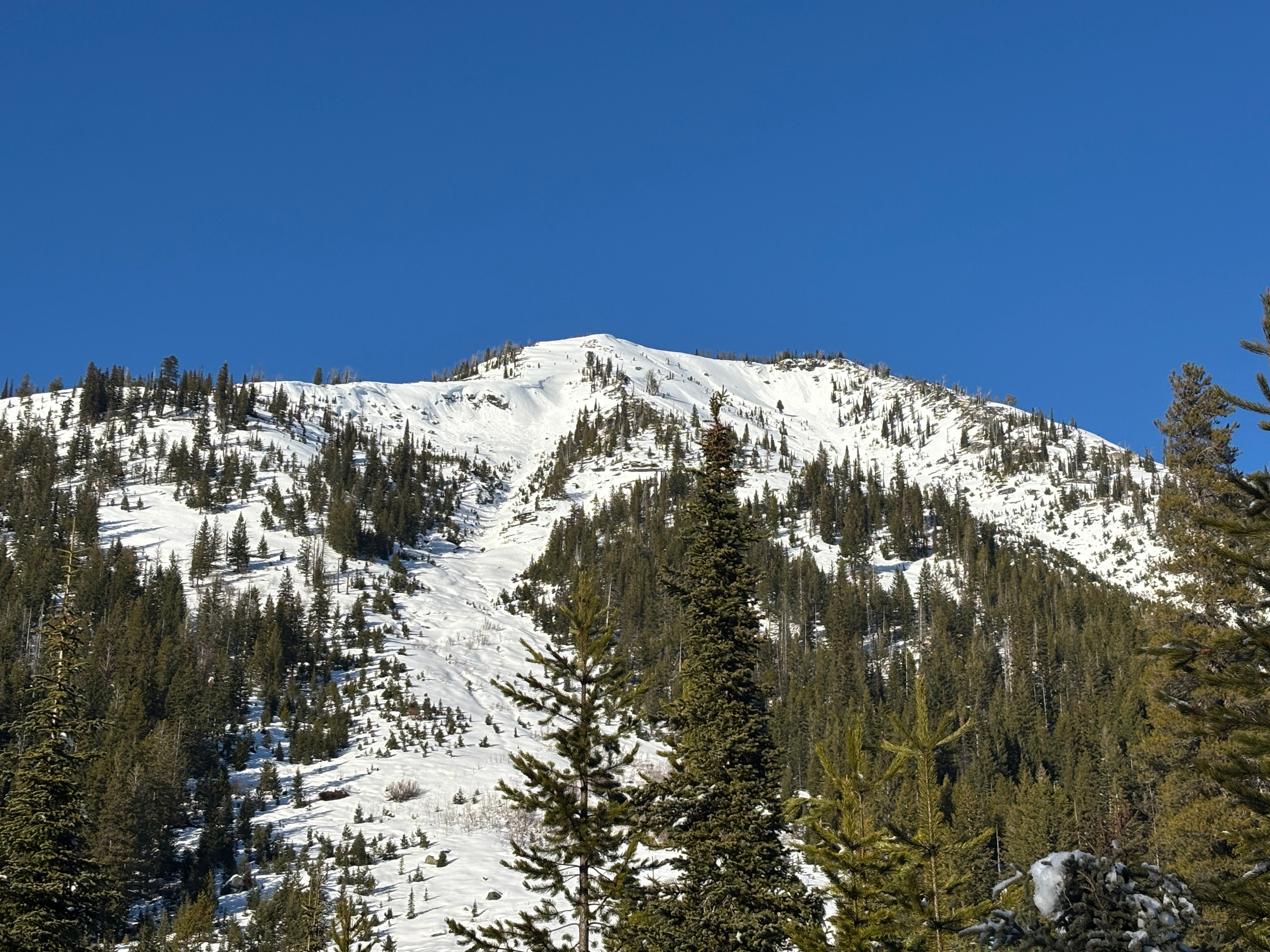
Mid canyon snow depths decrease dramatically in comparison to similar elevations in the head of the canyon. The multiple large south facing slide paths that cross the road do not have a large snow load in the start zones to endanger travel on the road yet.
The top 8 inches of snow on solar aspects was trending from damp to wet by the end of the day.
No weak snow near the ground was observed at upper elevation.