
Quick report
The most notable parts of today were high snowfall rates, and the amount of wetting in the upper snowpack. Any weak layers adjacent to the January 28th crust (Drought Interface) have been thoroughly wetted, at least up to 5,500ft.
Ski conditions and wet weather didn't entice me into skiing any more than necessary. That said, open, mid-angle slopes offered consistent, chatter-free, and sometimes quiet turns.
Weather
- Air Temp
- 31
- Cloud Cover
- obscured
- Wind Loading
- none
- Rain Elevation
- 3800
- Recent Snowfall
- 6
- Snow Avail For Transport
- small smounts
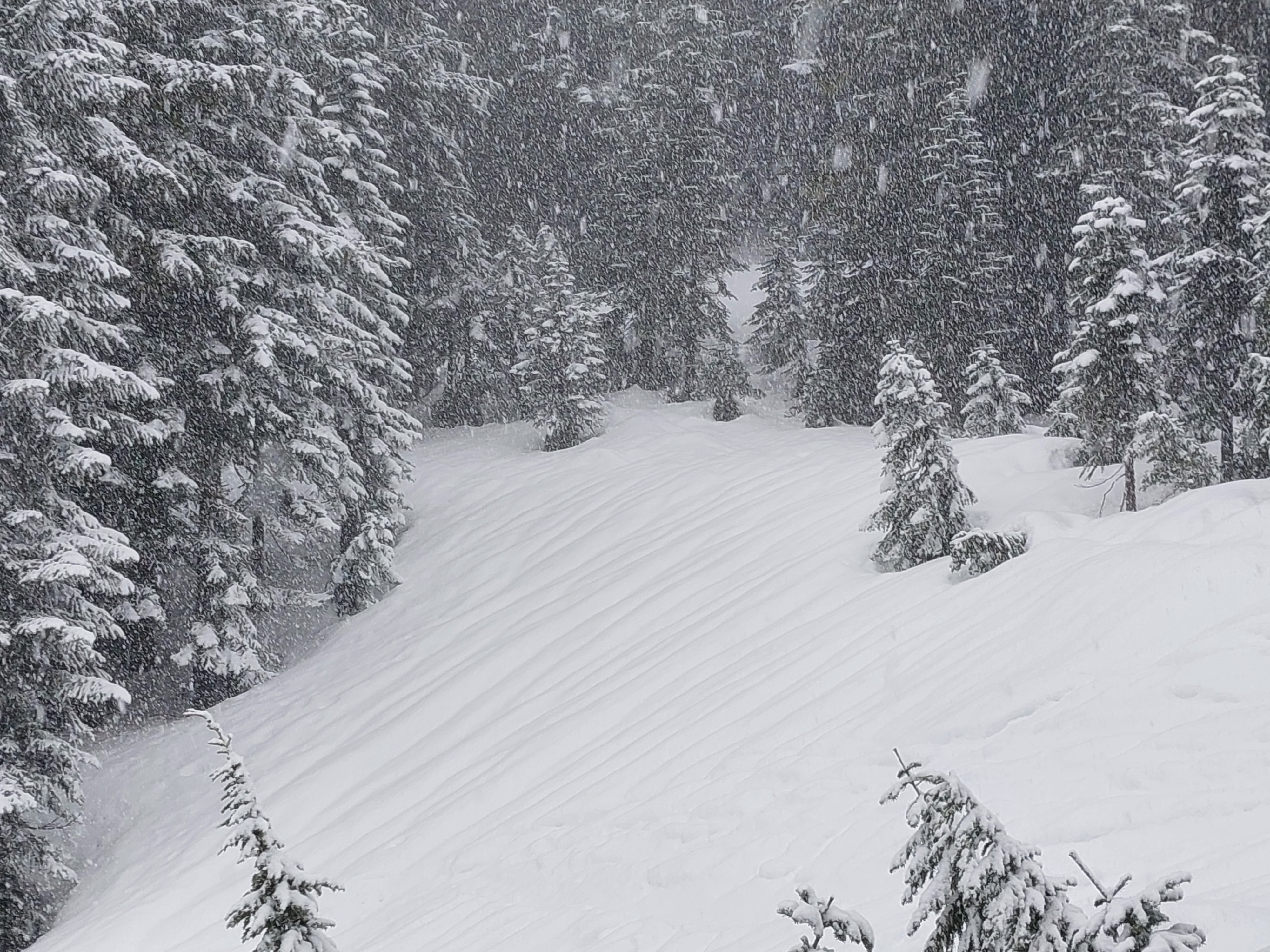
Snow started around 8a and slowed by 11a, but lingered through the day. Snowfall rates increased quickly by 9a to more than 2cm/hr (S2). See snowfall videos. While all snow above 4,000ft, air temperatures hovered near freezing, even at 5,200ft. New snow was moist. The wind was calm.
Snowpack
Near surface
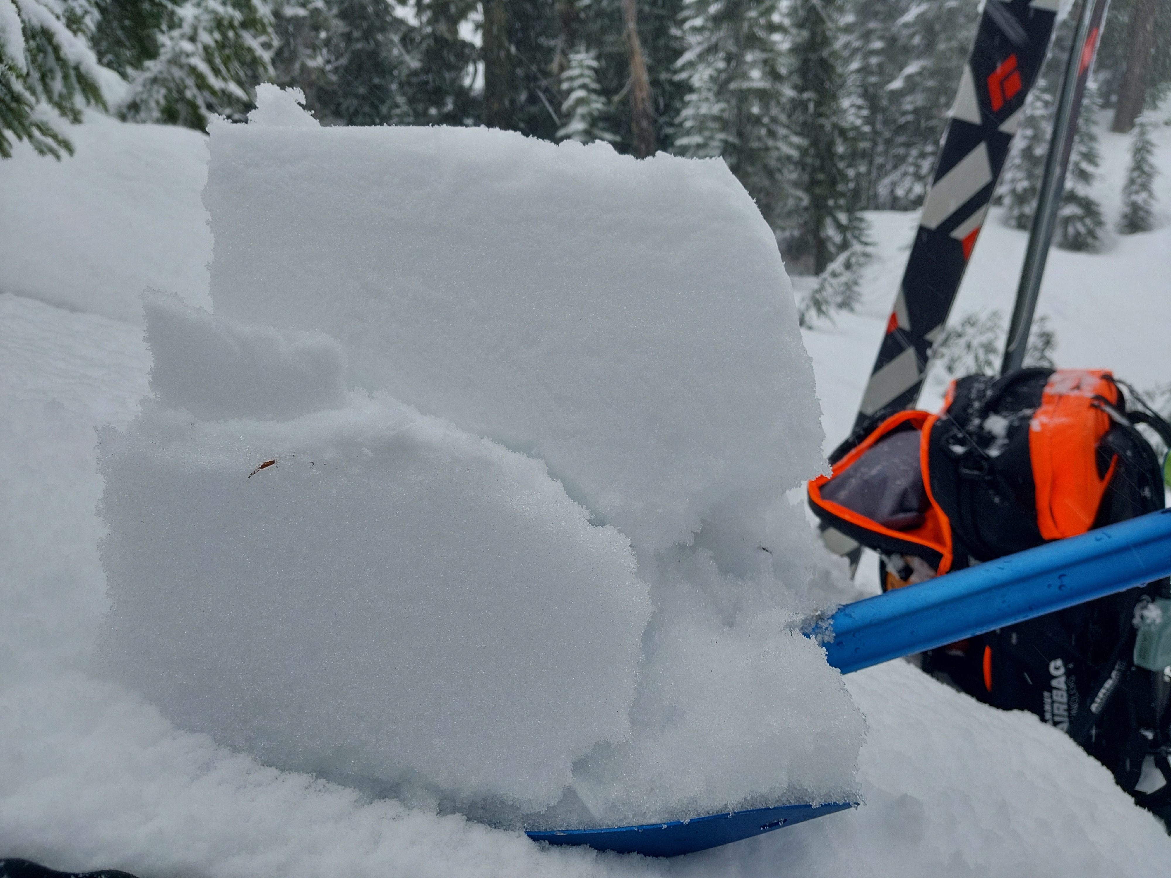
Moist new snow sat on a thin 2/1 crust.
Height of Snow and Layers
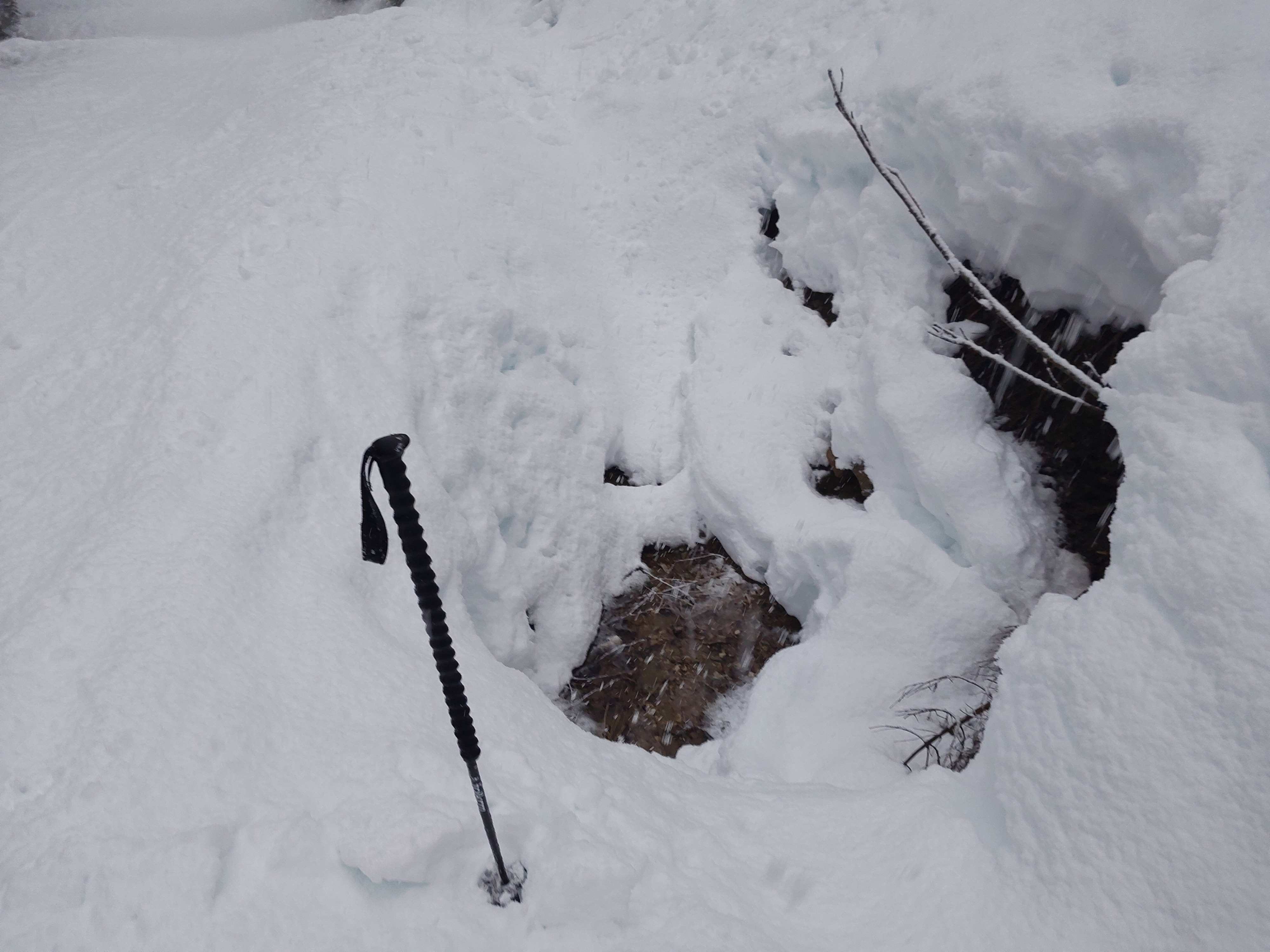
5,100ft, SE (flat): HS 195cm, HN 4cm moist. 1/28 crust ↓18cm.
Profile
Skyline Ridge, 5,270ft, NW
HS 242cm, Boot pen 35cm
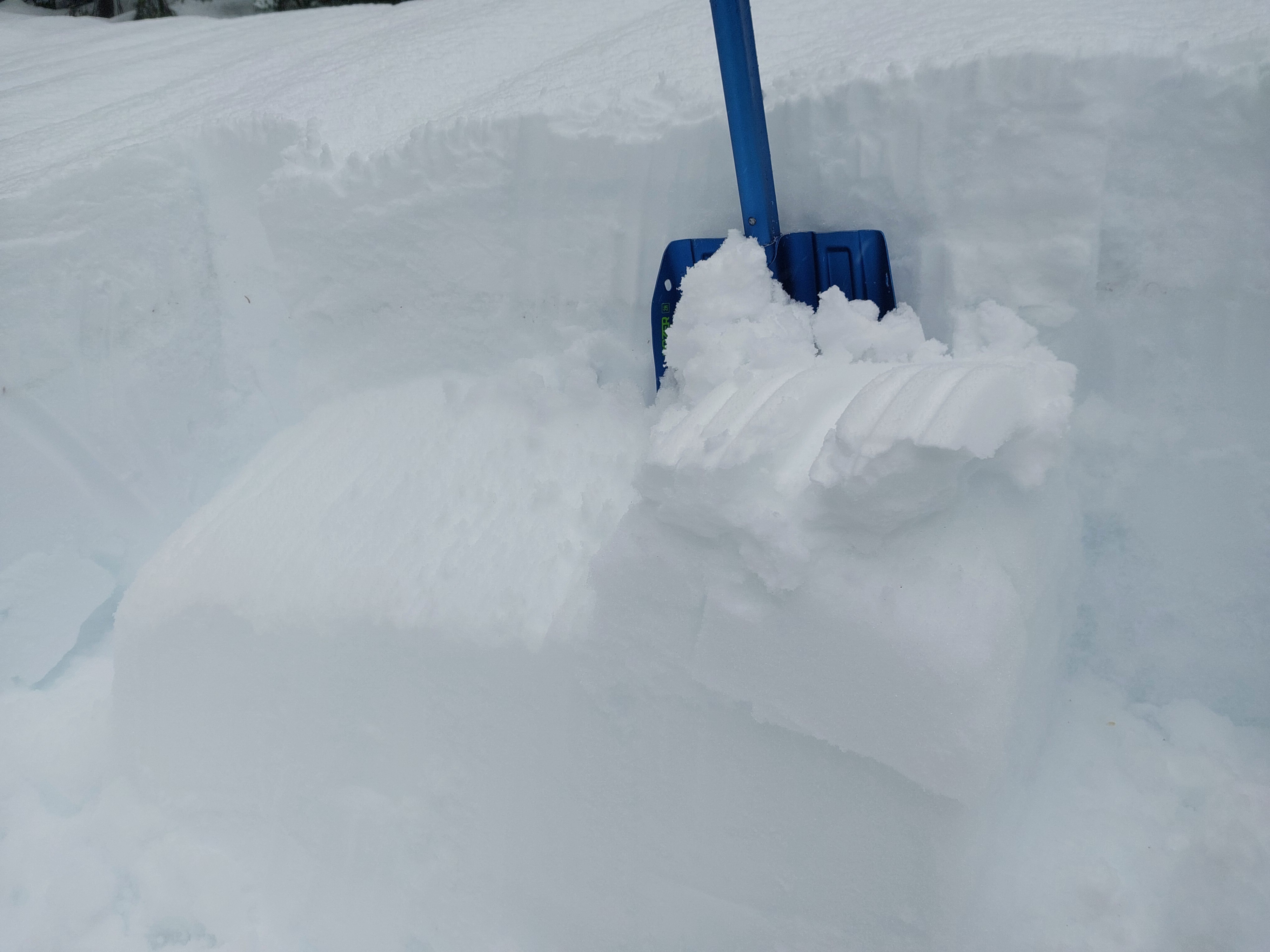
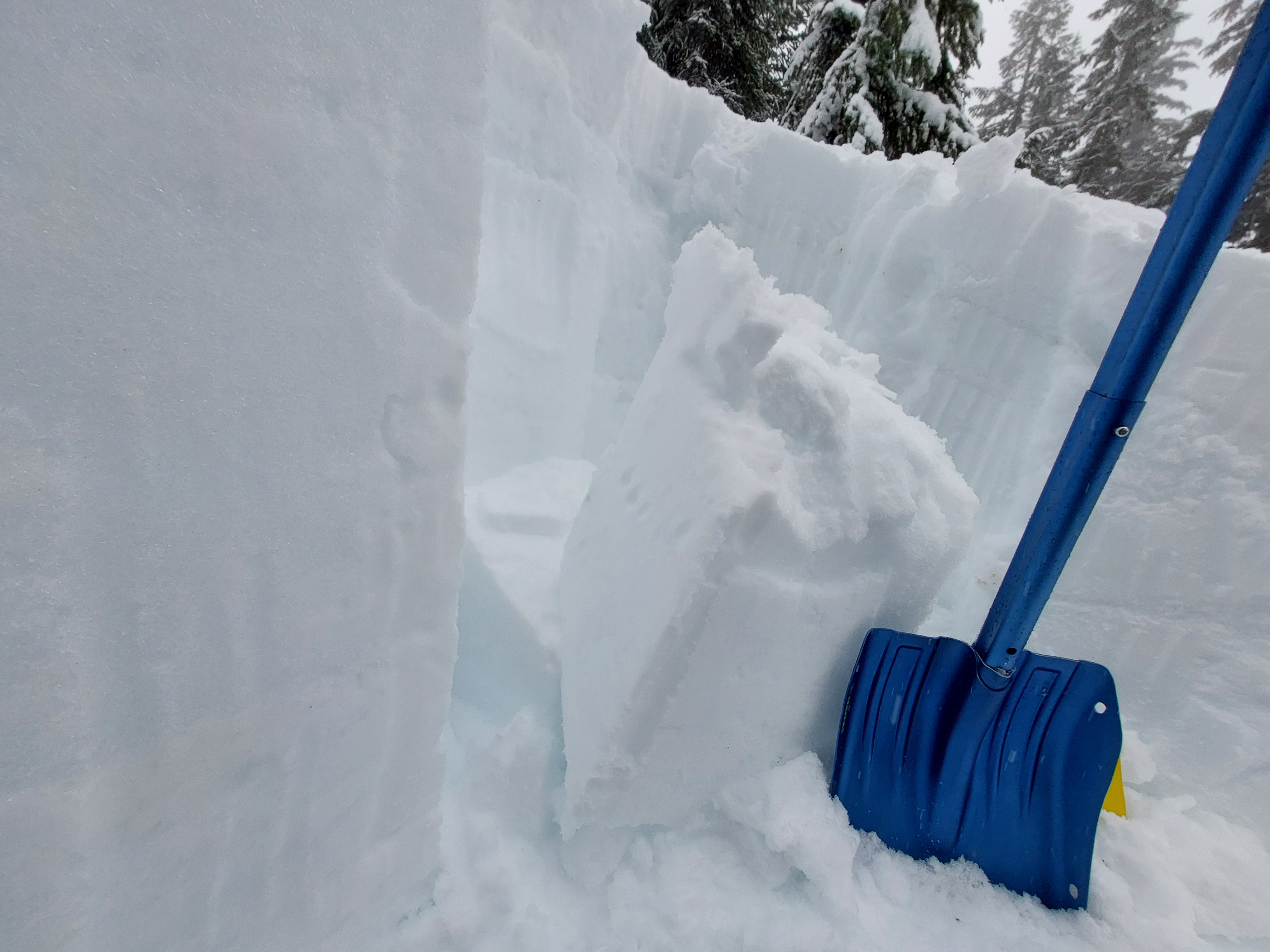
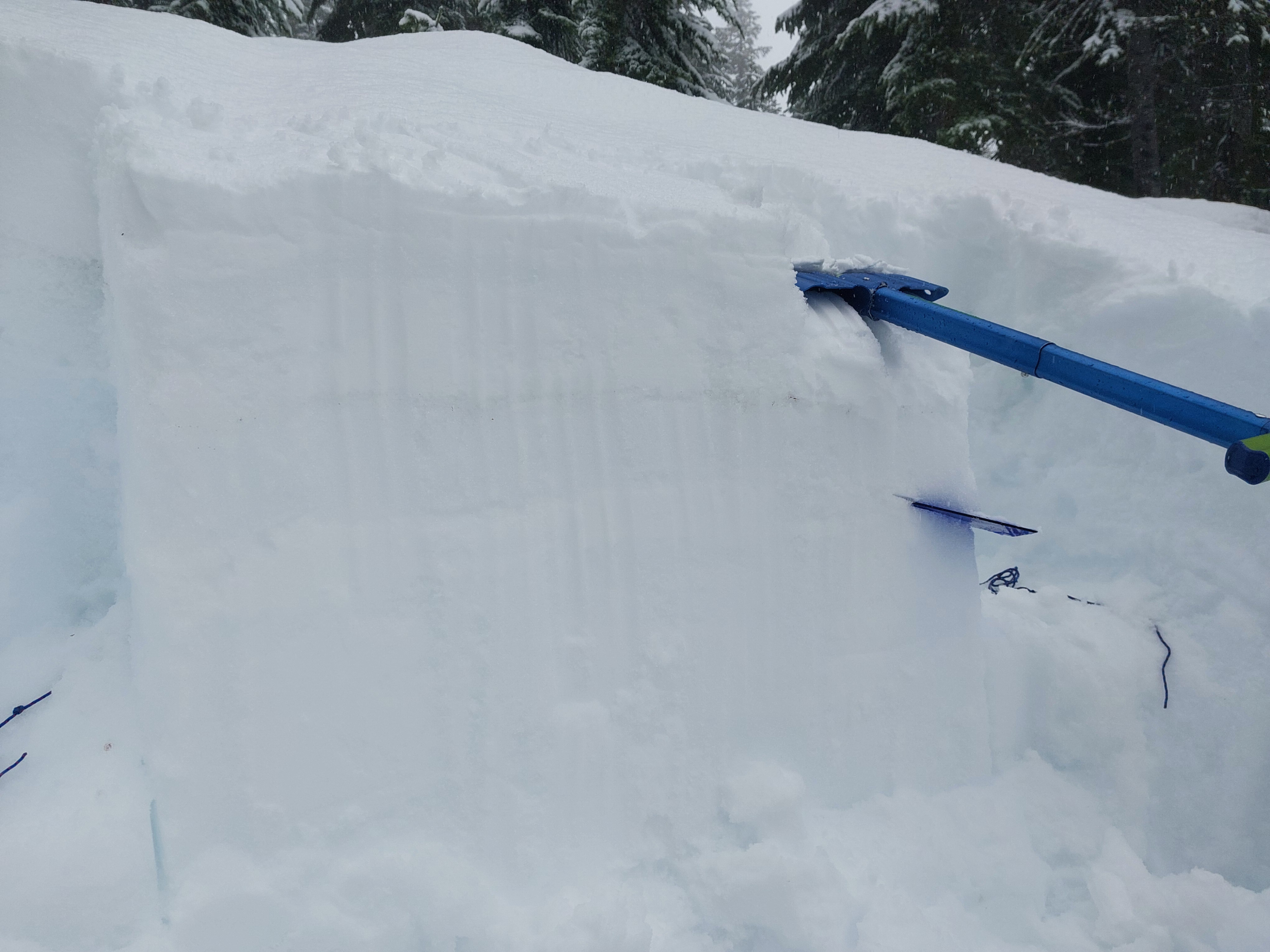
6cm of moist new snow sat on a thin, partially frozen 2/1 crust. The 1/28 crust was 20cm below the surface and weakening/melted. There were a couple of other subtle crusts in the top 70cm with moist rounds in between. The hardness profile was favorable.
There were no indicators of propagation or potential for human triggering in short or long column snowpack tests. Informal tests produced clean, planar shears on wetted crusts. This occurred both below the 1/28 crust ↓28cm, and on a thin crust formed during early January ↓70cm.
See the profile graph and image.
Avalanche
No new avalanches