
Quick report
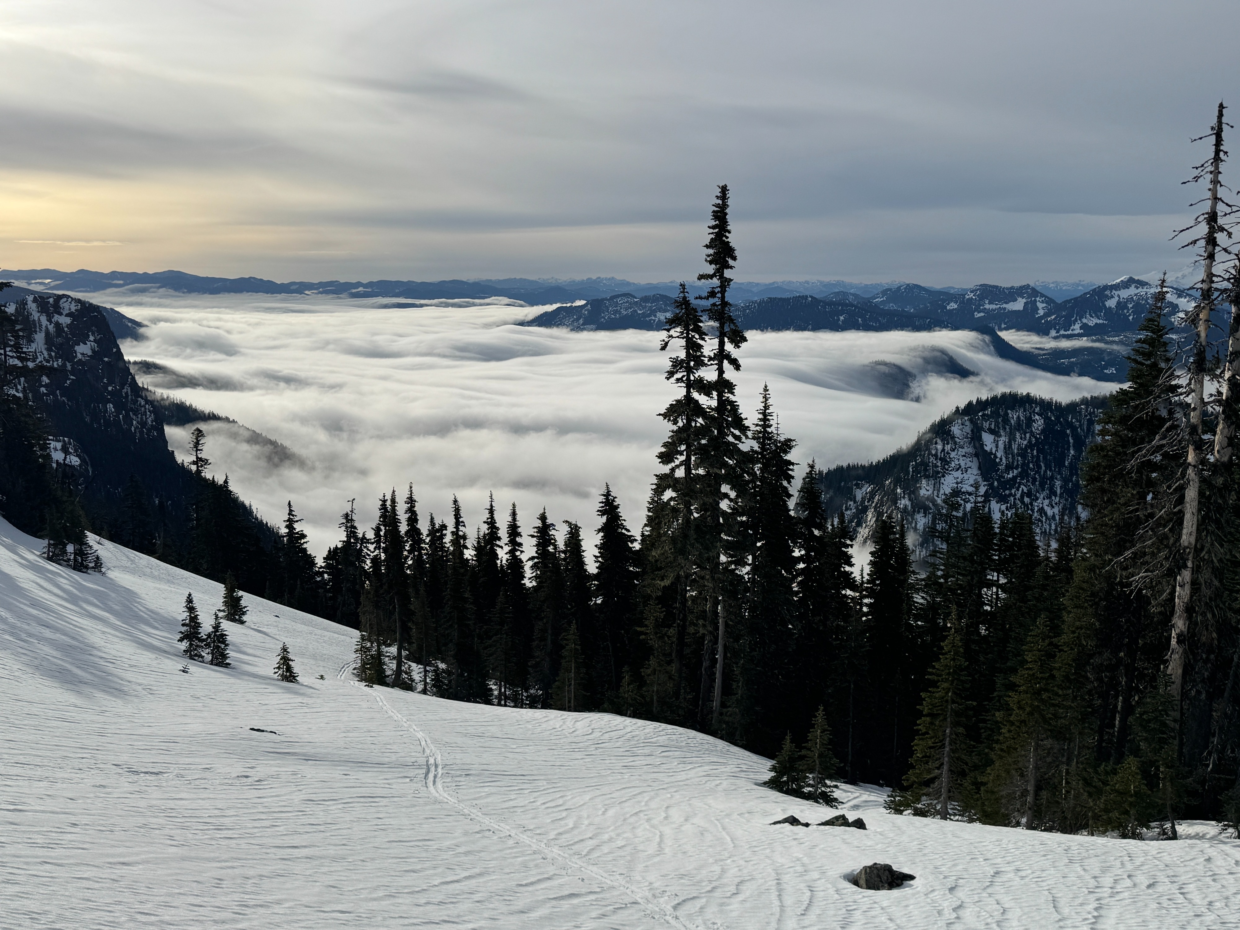
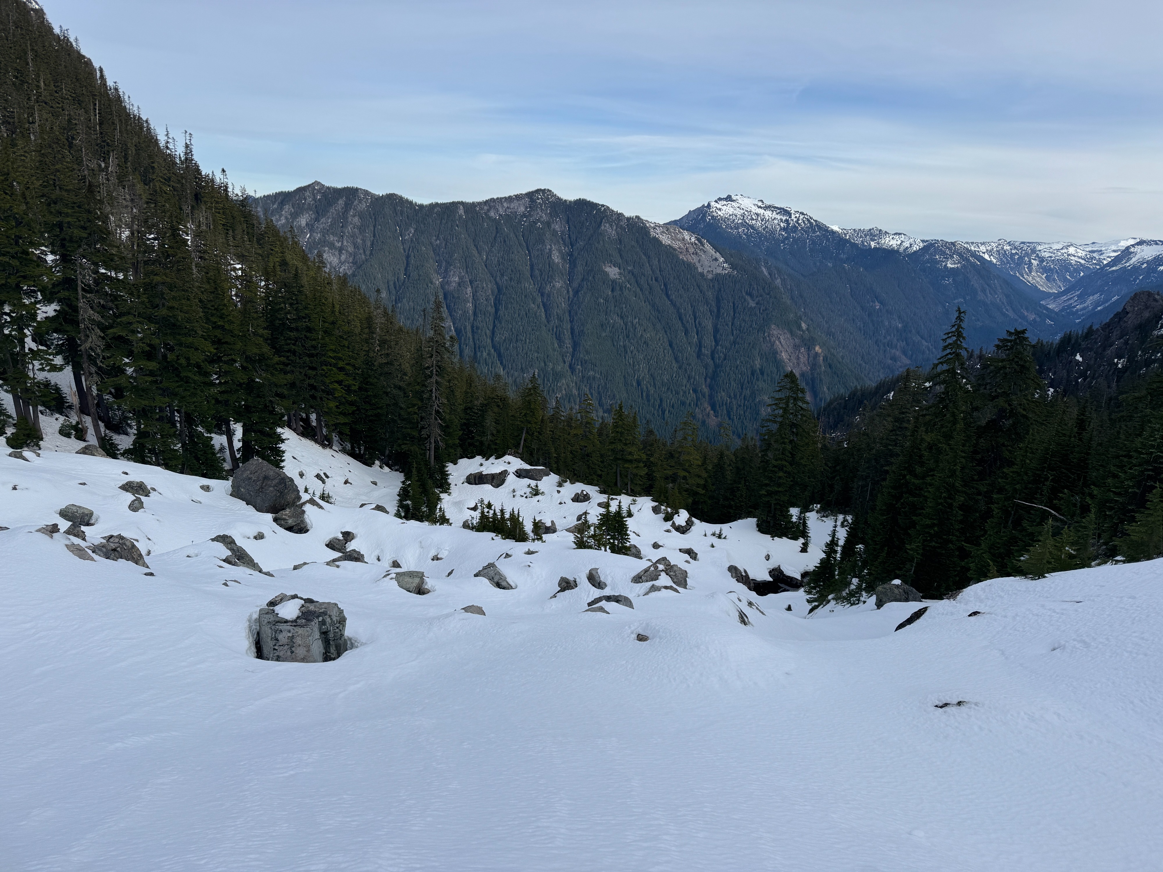
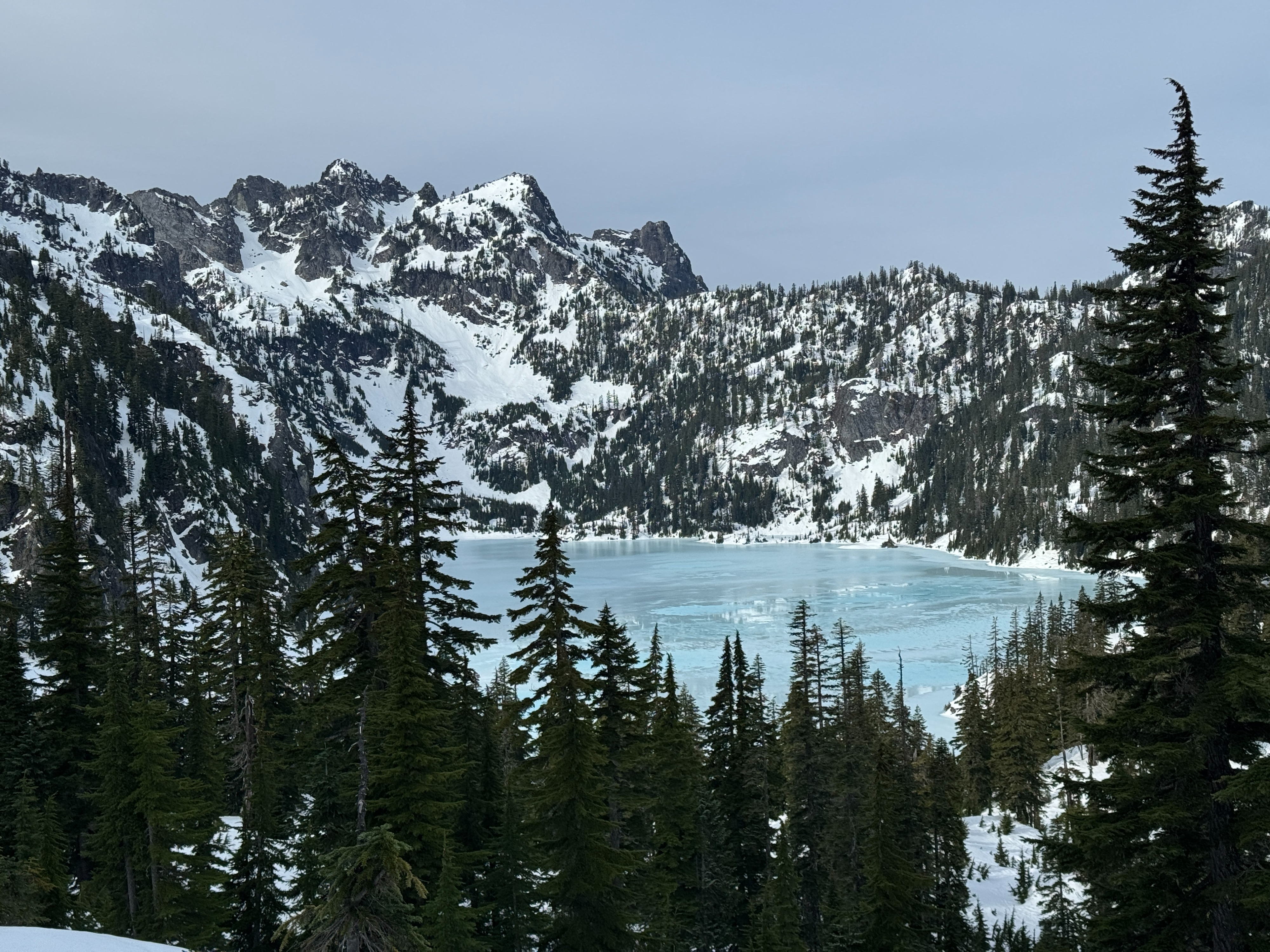
Today, Dallas and I set out for a circumnavigation of the Snow Lake Divide area to monitor the January Drought Interface and watch for developing wet snow instabilities across multiple aspects. It was a beautiful day to be above the socked-in Alpental Valley. Temperatures were very warm, upper 40s at the higher terrain and in the upper 30s at lower elevations.
The snow is wet and mushy out there, from the valley bottom to the top of Snoqualmie Mountain. Even below the inversion, surfaces were noticeably soft and punchy. Despite the warm temperatures, there were few signs of active wet avalanche activity. We were able to push a few short-lived roller balls on very steep slopes but couldn't trigger anything larger. The high clouds may have helped to mitigate severe warming of the surface snow. The January Drought Interface has turned wet and mushy along with the snow above.
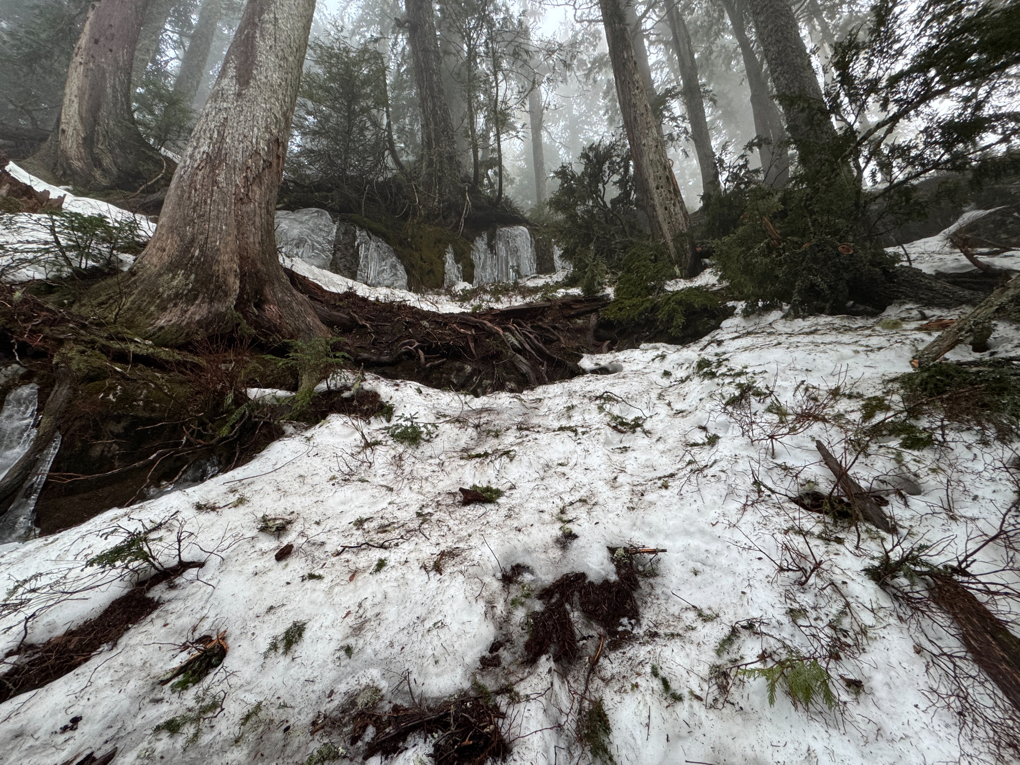
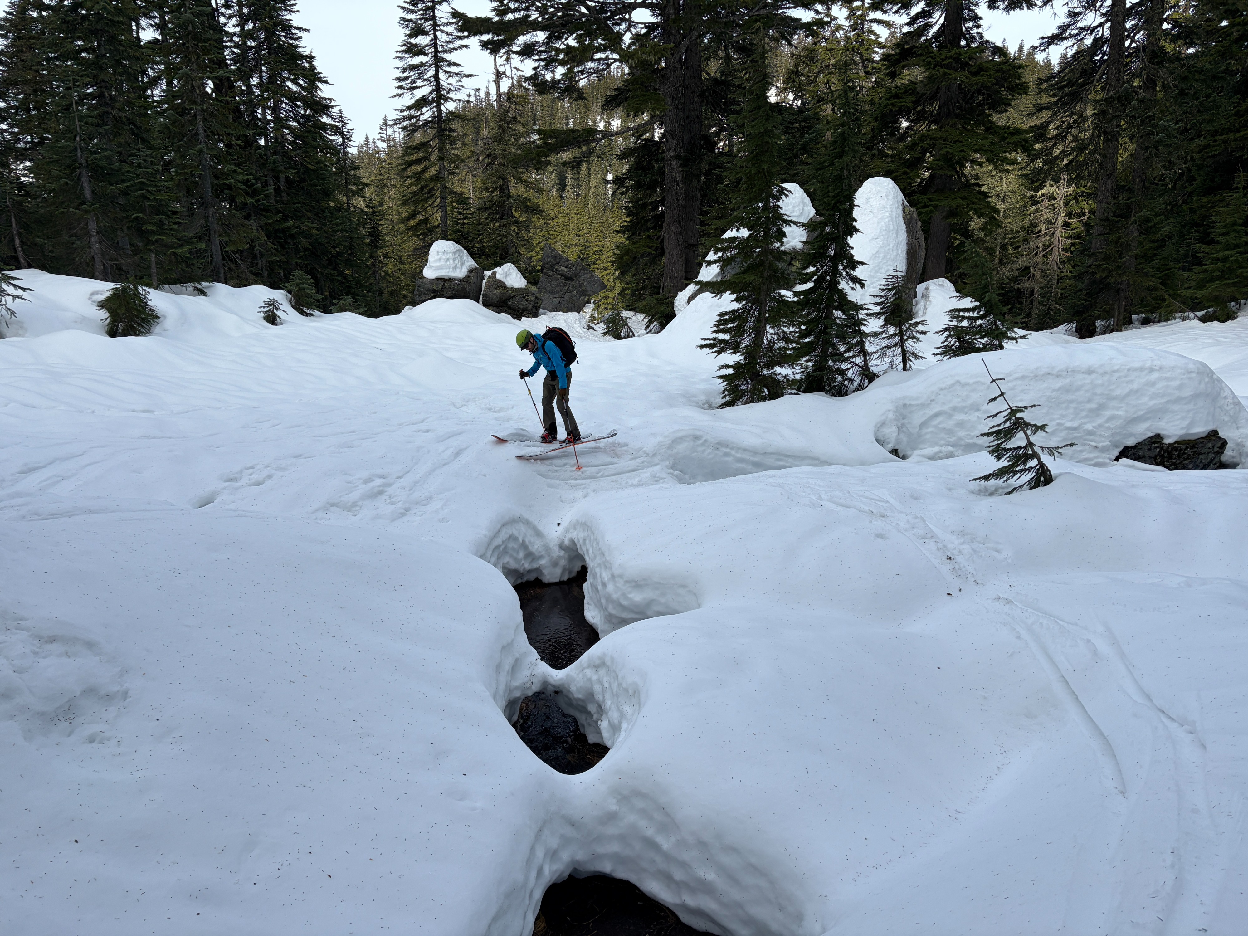
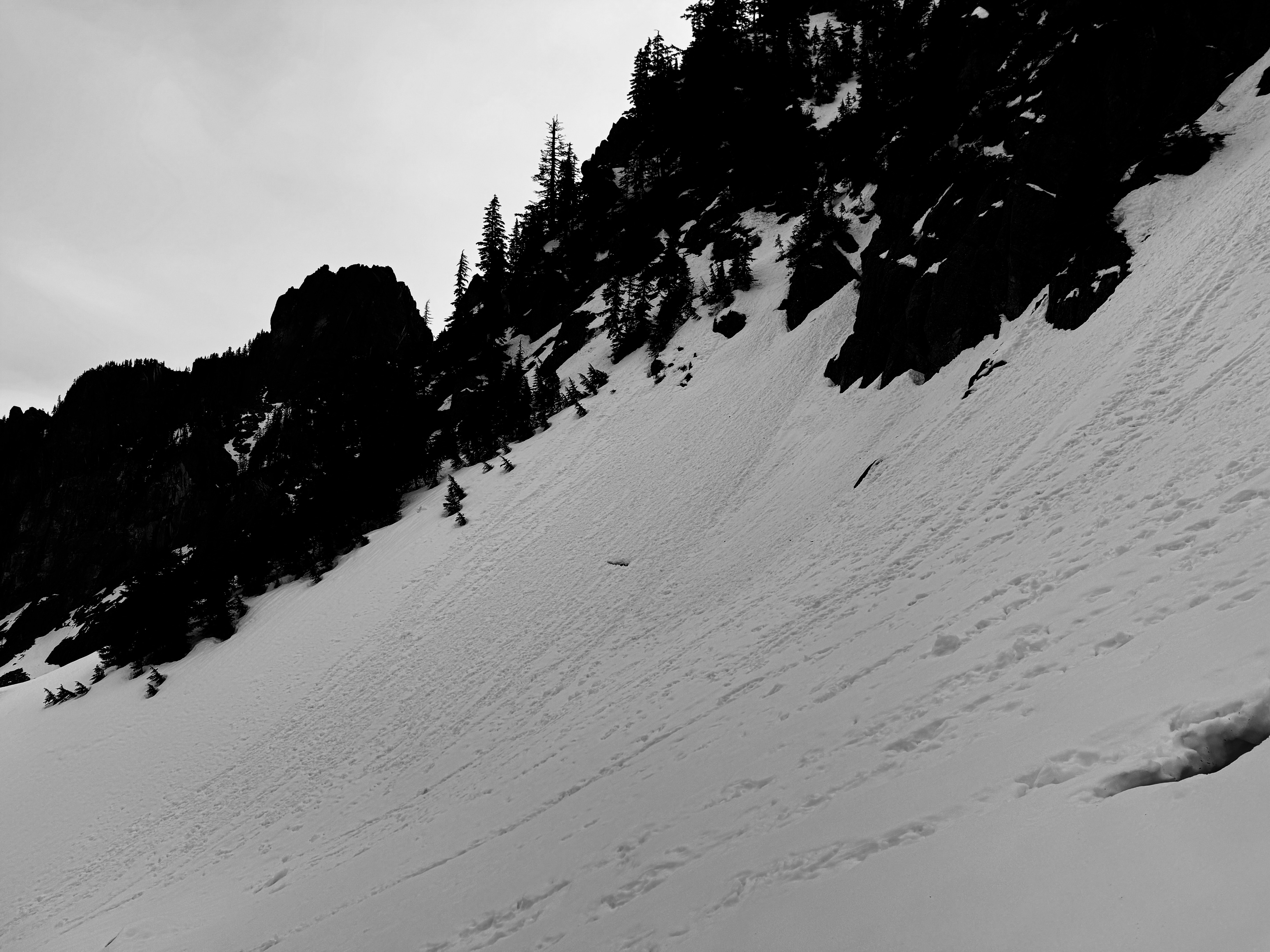
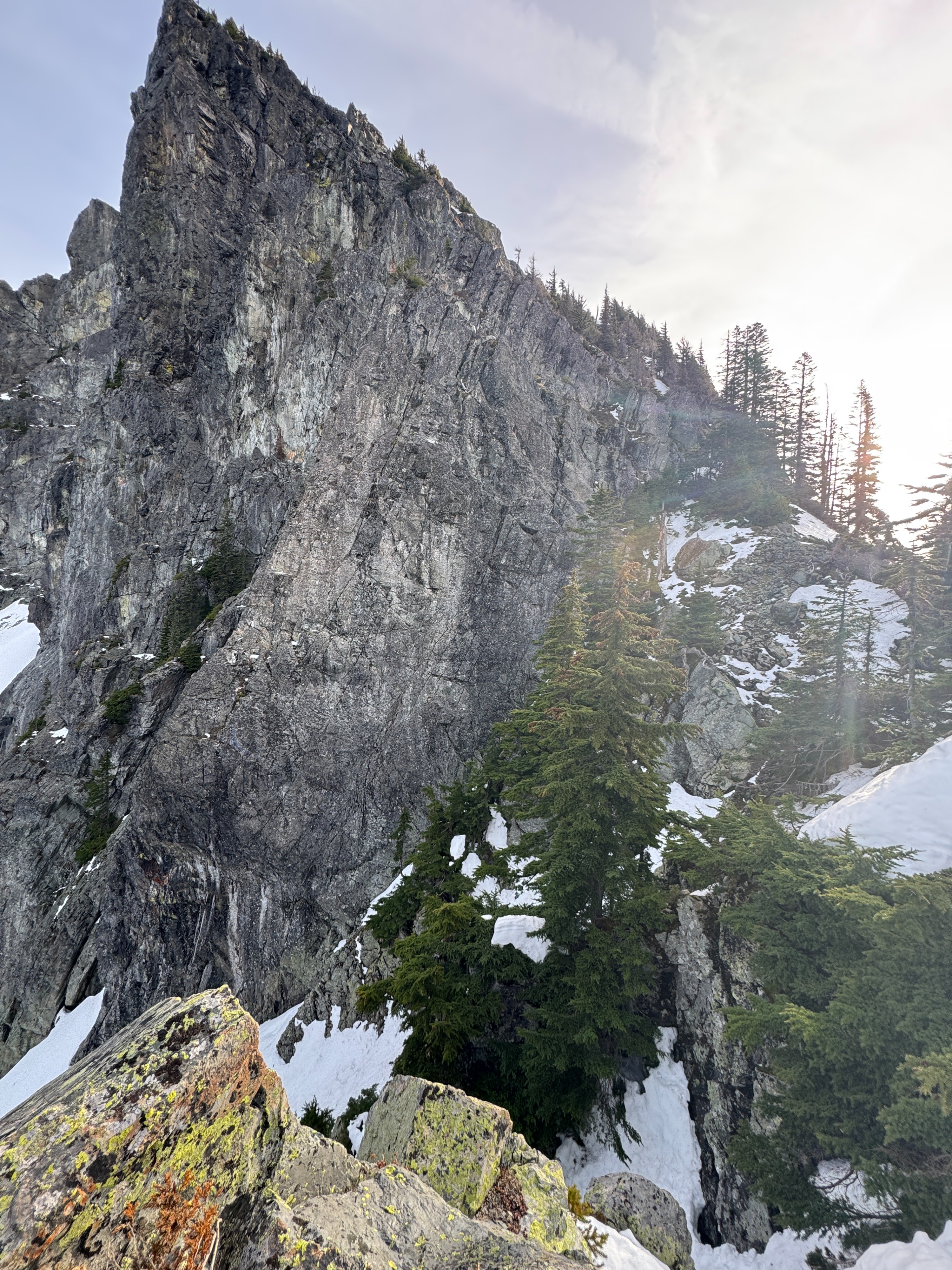
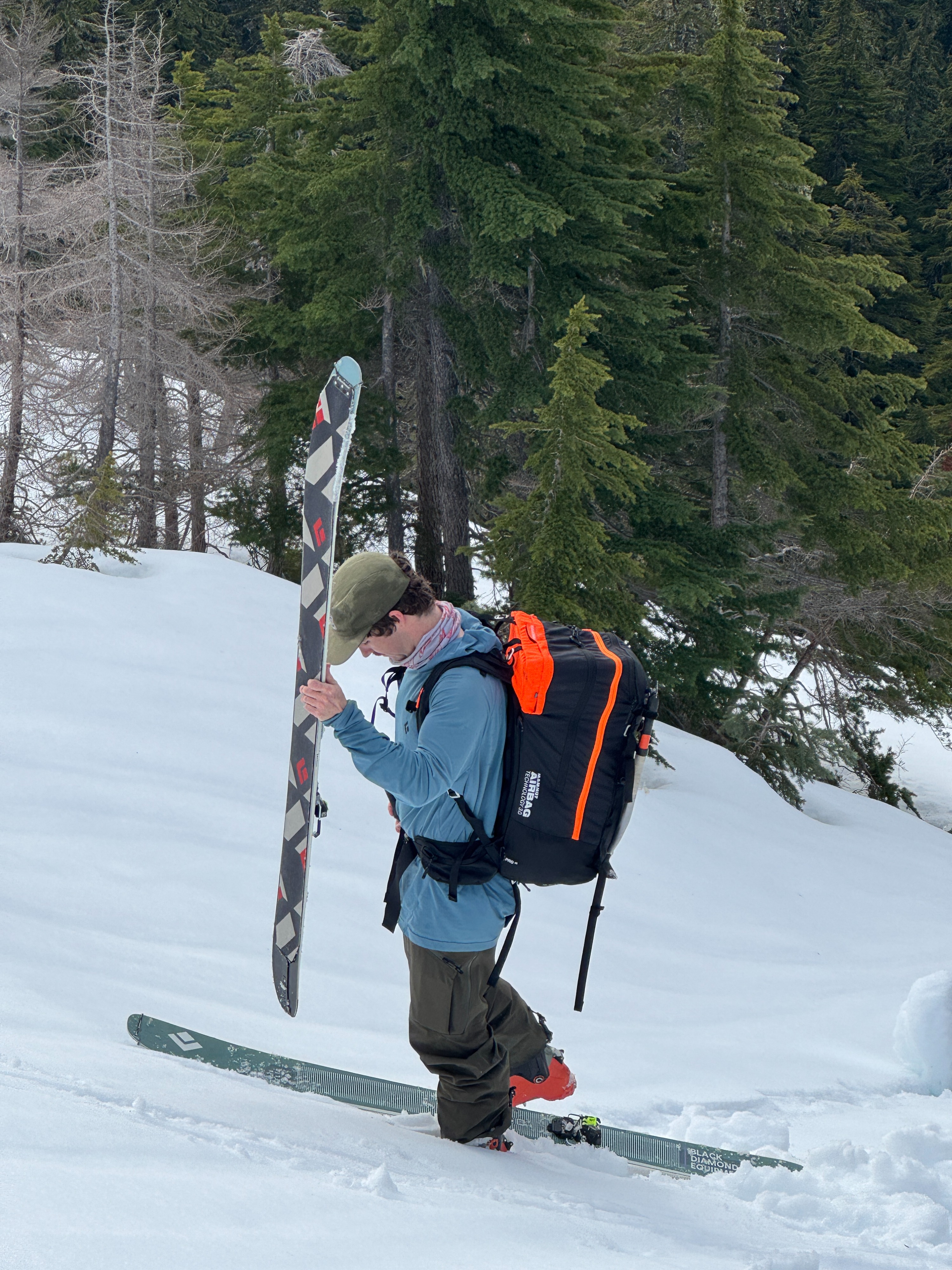
Unfortunately, the patchy snow coverage is still making travel difficult, especially on south and west facing aspects. We opted to boot our way through the rock step in the Phantom Trees and over Avalanche Col due to the exposed dirt and rock. A large amount of Snoqualmie Mountain, above 5,400 feet, is completely snow-free.
Weather
- Air Temp
- 34-50
- Cloud Cover
- scattered
- Wind Loading
- none
- Recent Snowfall
- 0
- Snow Avail For Transport
- small smounts
Warm and sunny in the middle and upper elevations, with clouds at lower elevations in the Alpental valley. Humid and drippy weather at lower elevations within the cloud layer. Dry weather dominated at middle and upper elevations. Thin upper-level clouds limited the direct sunlight across the valley. The wind was calm with an occasional light breeze at ridgeline.
Snowpack
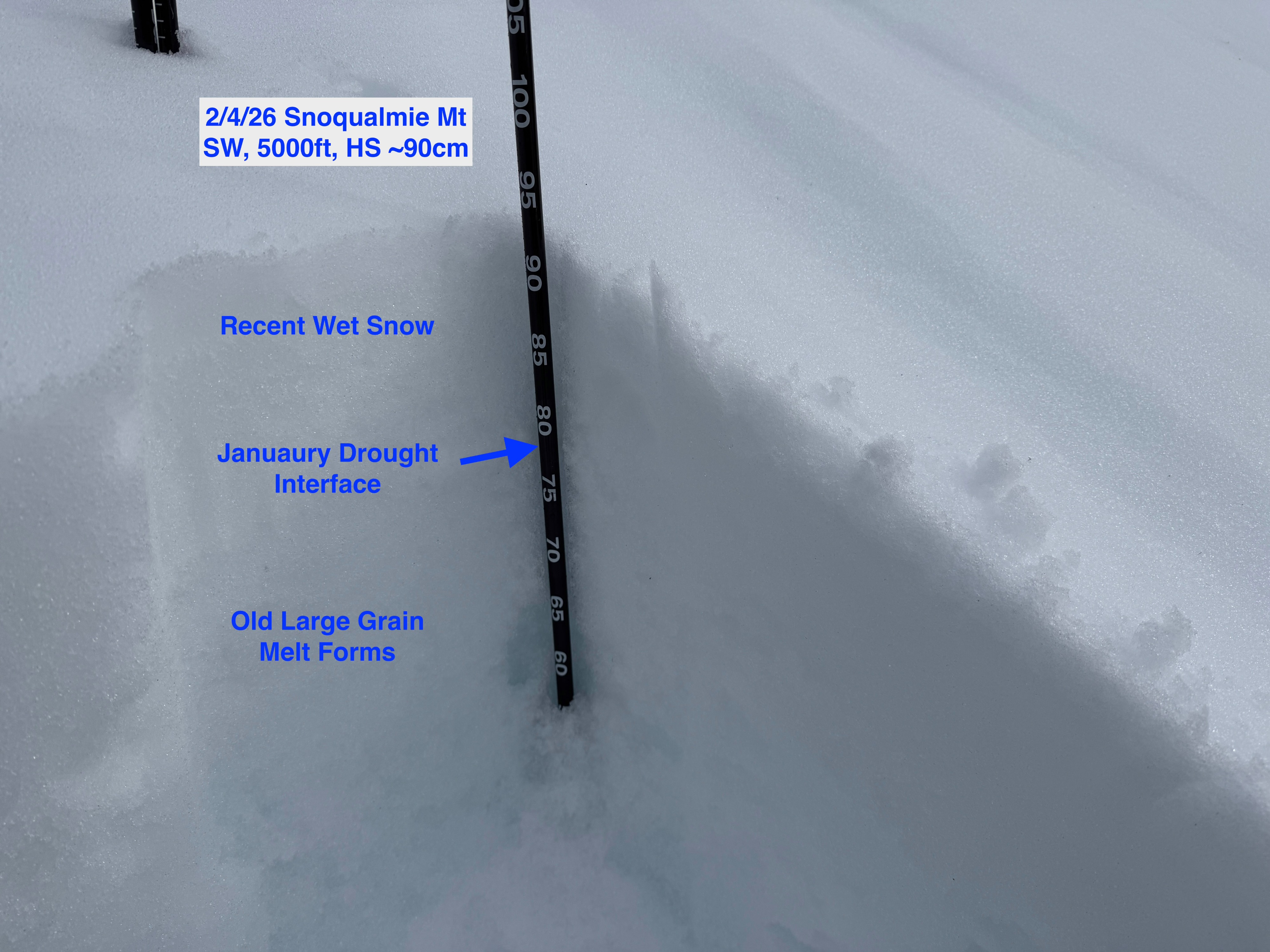
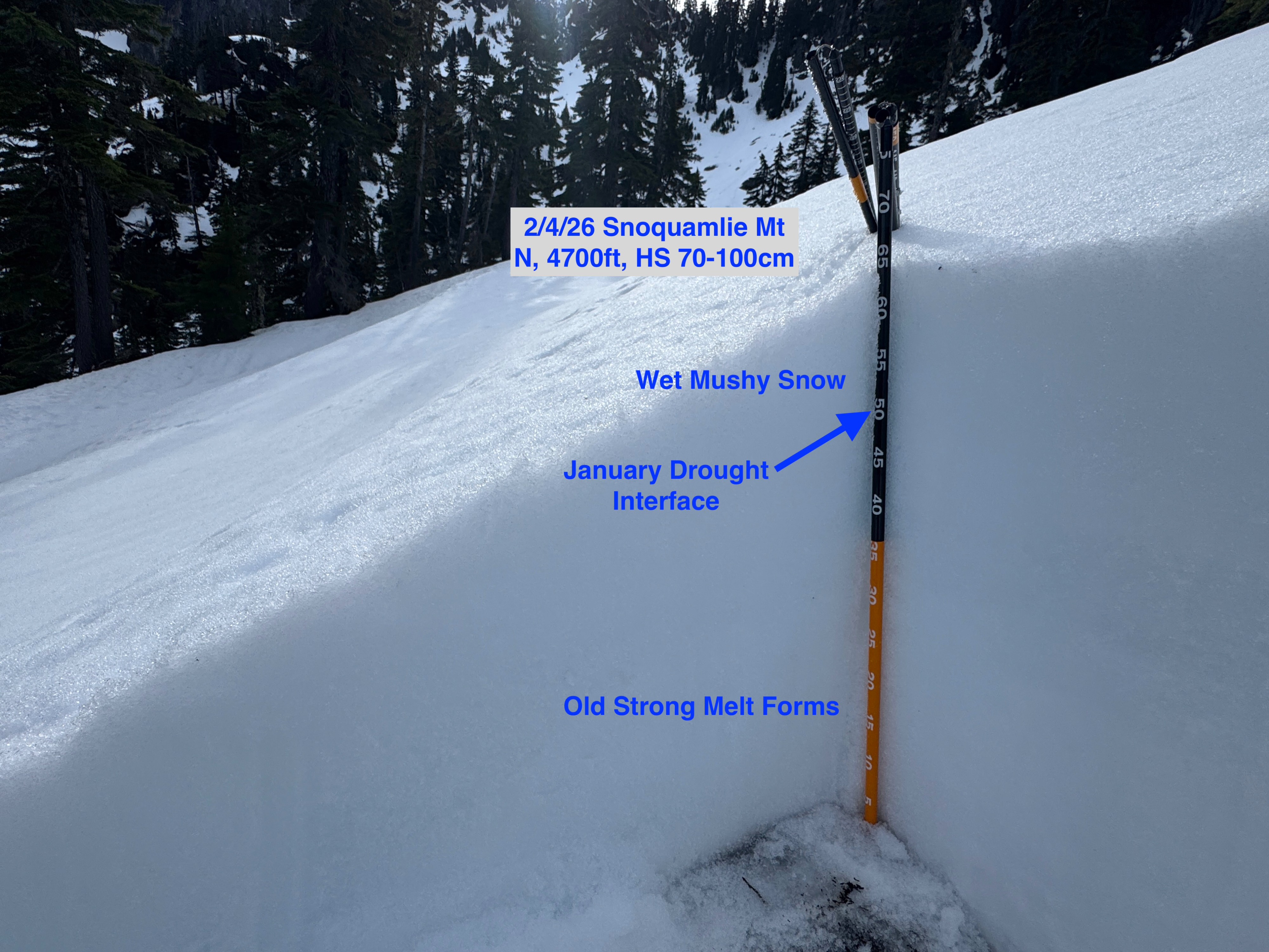
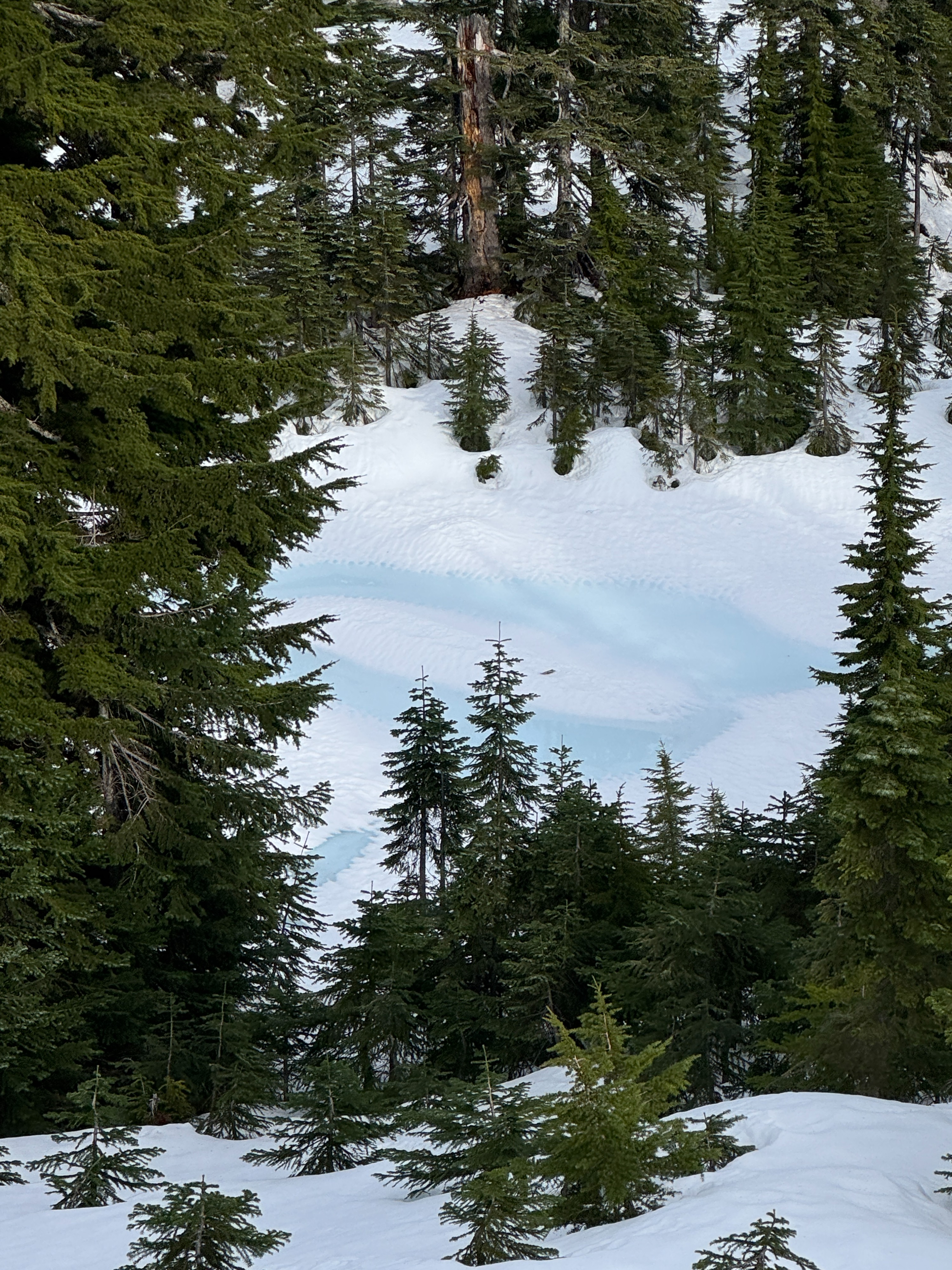
The Alpental Valley is struggling this winter... And the recent rain and warm temperatures aren't helping. Snow depths are still on the low end, generally around 40 inches at ~4,500 feet, give or take a few inches. Rain runnels exist across all observed terrain, up to 5,300 feet. Two snow pits were dug, one on a north aspect at 4,700 feet, and the other on a southwest aspect at 5,000 feet. Both pits showed similar conditions, with the top 5-6 inches of snow having turned mushy, wet, and loose. This softer wet snow sits on top of the January Drought Interface (JDI), with strong, firm melt form grains below. Although the JDI still resembles the preexisting weak grains (surface hoar) of before, these grains have also turned wet and are beginning to break down. The firm snow below the JDI is very supportable and quite challenging just to dig through. Boot penetration was around 6 inches, punching through the wet surface snow, and standing on the firm snow below.
Avalanche
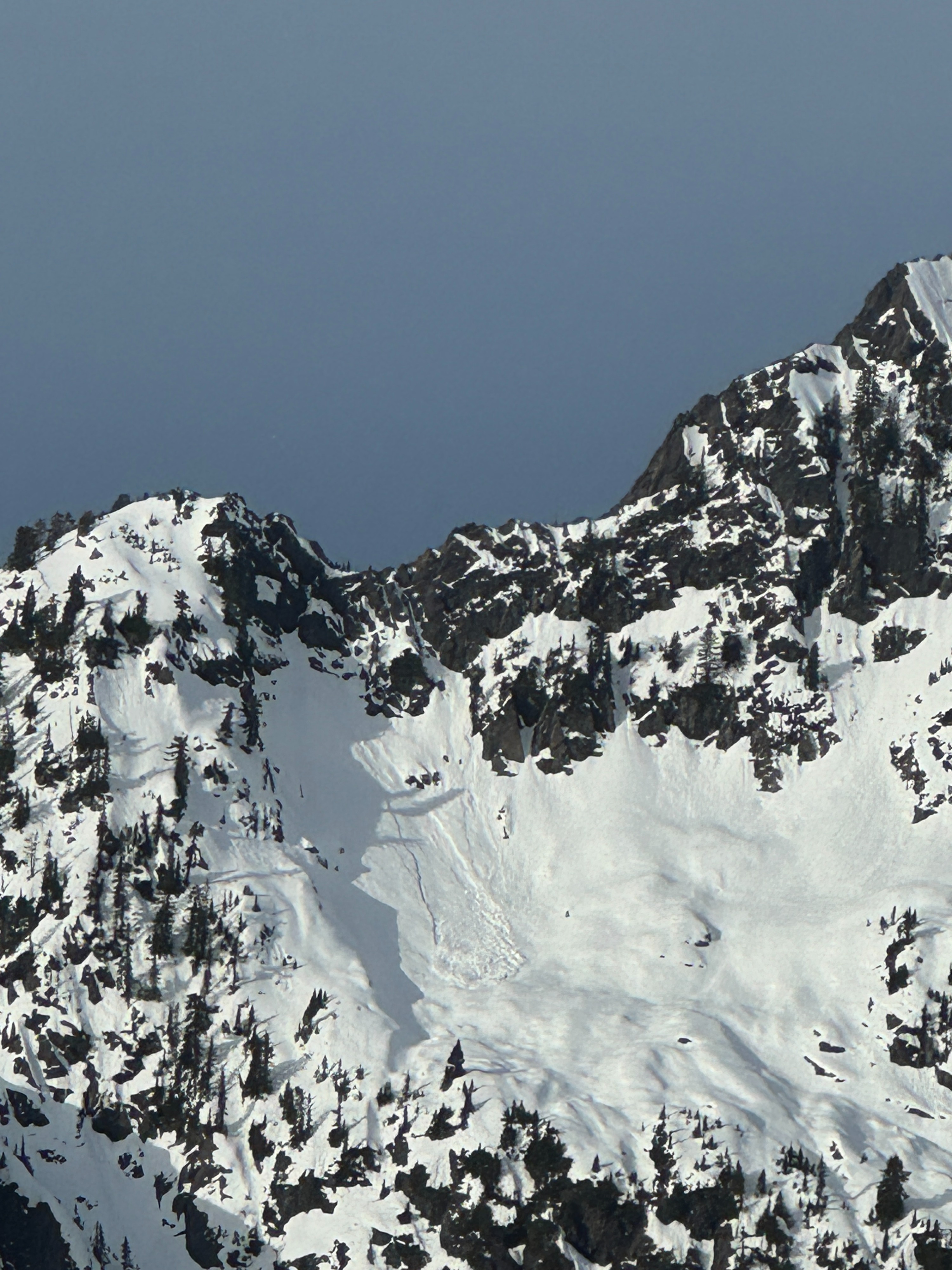
An old, natural, wet loose avalanche was spotted on an east aspect of Chair Peak, at around 5,800 feet. The avalanche likely occurred sometime Monday night during the high-elevation rain.