
Quick report
1-2 feet of snow is forecasted to impact the mountains through Friday morning. This will create new snow avalanche problems (storm slab and wind slab). Something to watch for is the new snow stacking up and overloading previous weak interfaces. I imagine the very soft snow near the surface and density inversion will fail easily with the weight of new snow. Uncertainty exists with how much stress the facet/crust combination 45-60 cm (18-24") down from early February will withstand.
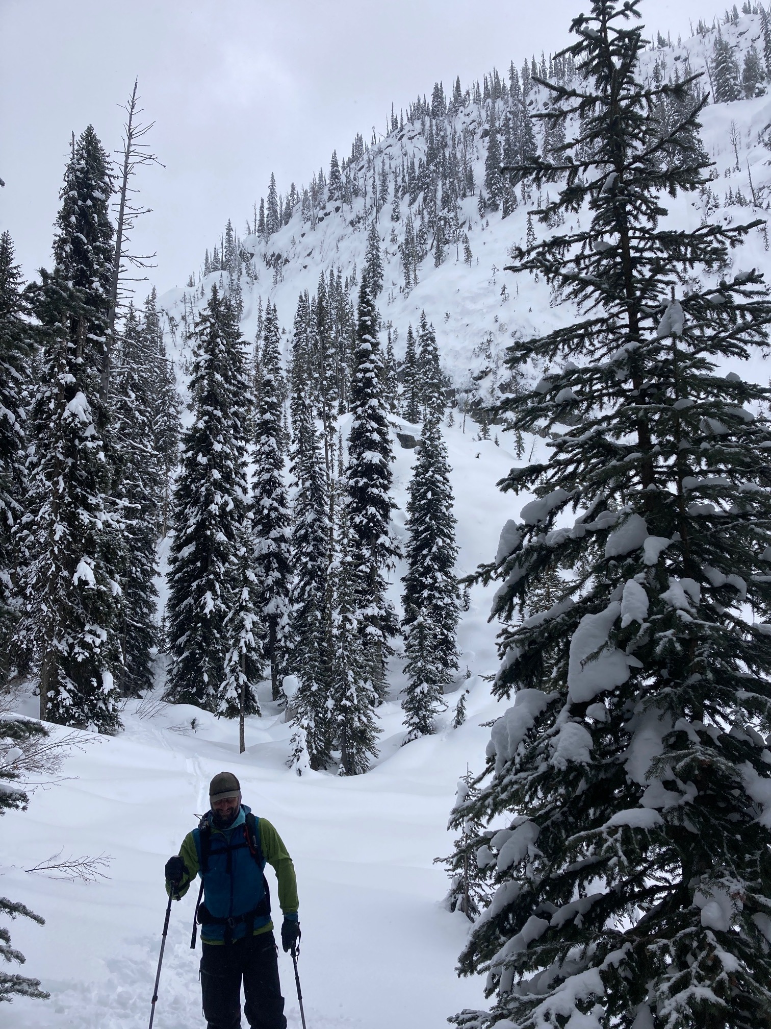
No obvious signs of instability noted throughout the day. We skied a steep, north-facing slope and dry loose snow was minimal.Weather
- Cloud Cover
- overcast
- Wind Loading
- light
- Rain Elevation
- 4000
- Recent Snowfall
- 2-5
- Snow Avail For Transport
- moderate amounts
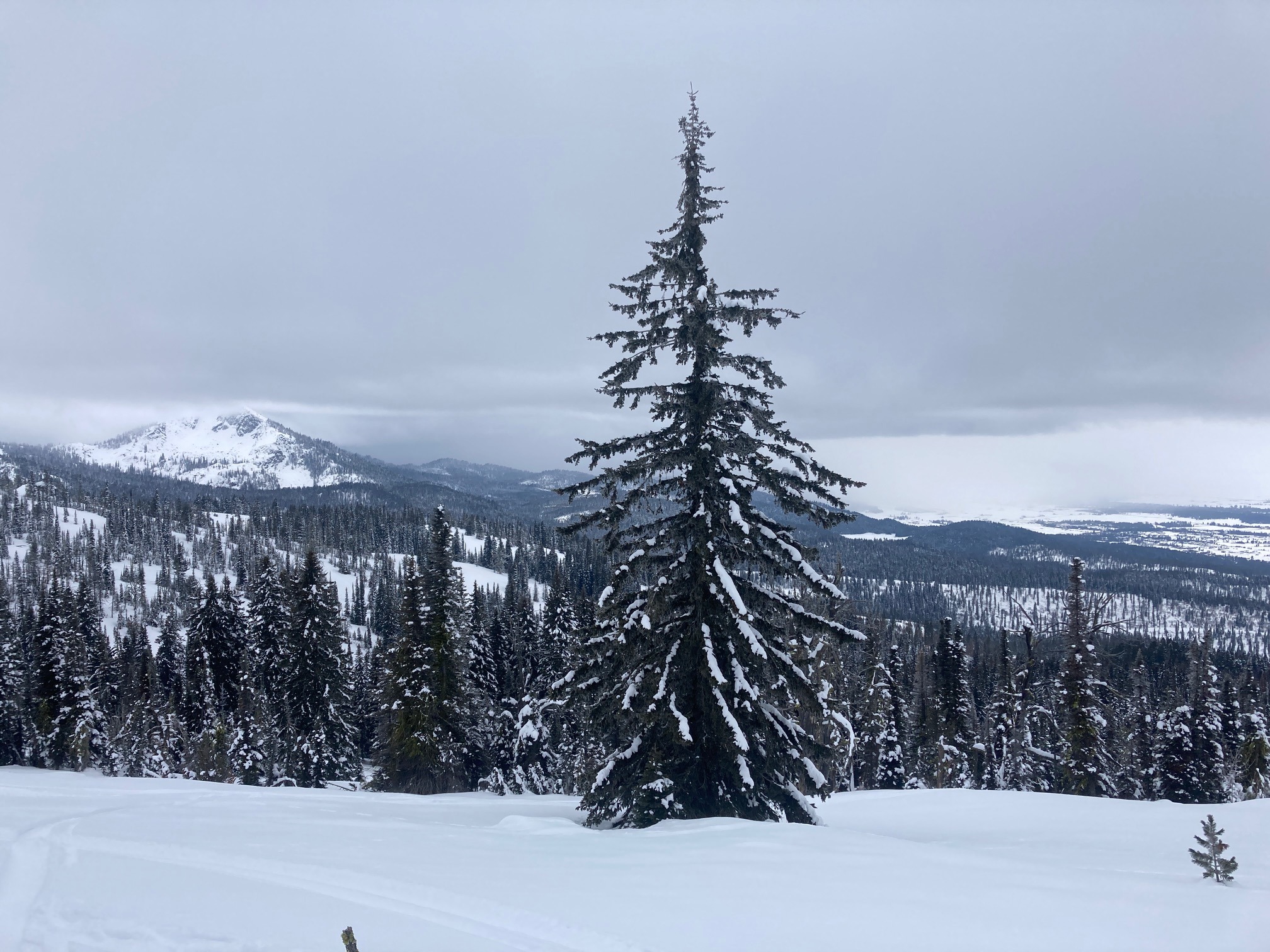
Low cloud ceiling in the morning. A winter storm rolled in around noon. Snowfall and SW winds increased in intensity throughout the afternoon. Snowfall was sporadic with bands of heavier precipitation. 1-3" of new snow accumulated by 1630.
Snowpack
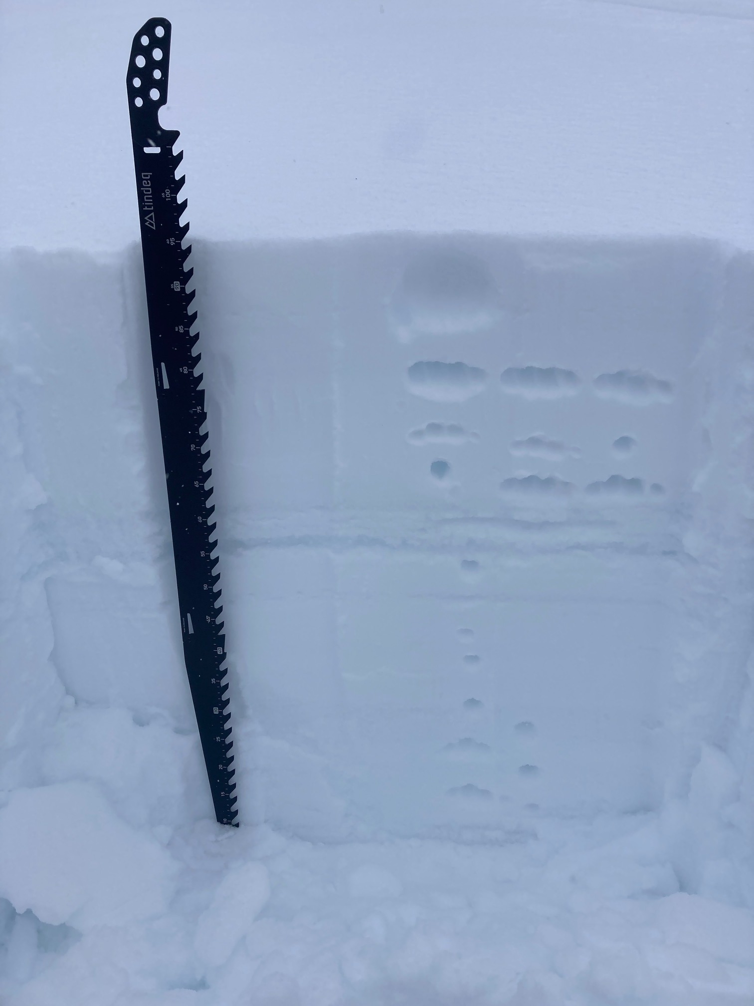
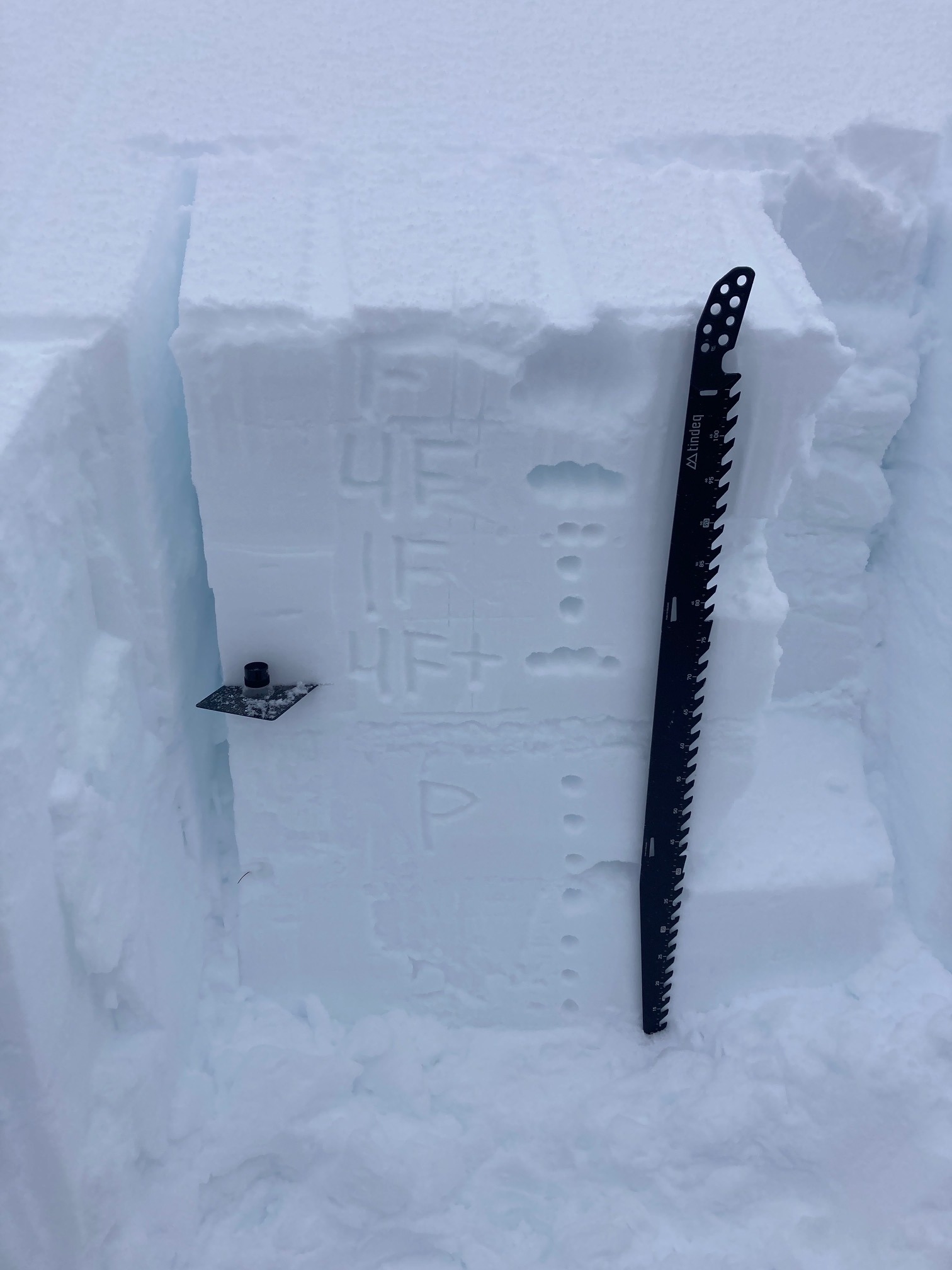
We dug two different pits around 8000'. The SW pit HS was 110 cm (3.5'). 45 cm (18") of snow sitting atop early February crust complex. Faceted snow forming above and below crust. Density inversion noted within upper snowpack (above crusts). NE pit HS was 205 cm (6.5'). More snow sitting atop crust complex (60 cm/2'). Faceted snow above and below crusts was visible but slightly less pronounced. Density changes in upper snowpack was similar to south aspect.