
Weather
- Air Temp
- Above Freezing
- Cloud Cover
- scattered
- Wind Loading
- none
- Recent Snowfall
- 0
- Snow Avail For Transport
- none
Partly cloudy skies with warm temperatures and calm winds.
Snowpack
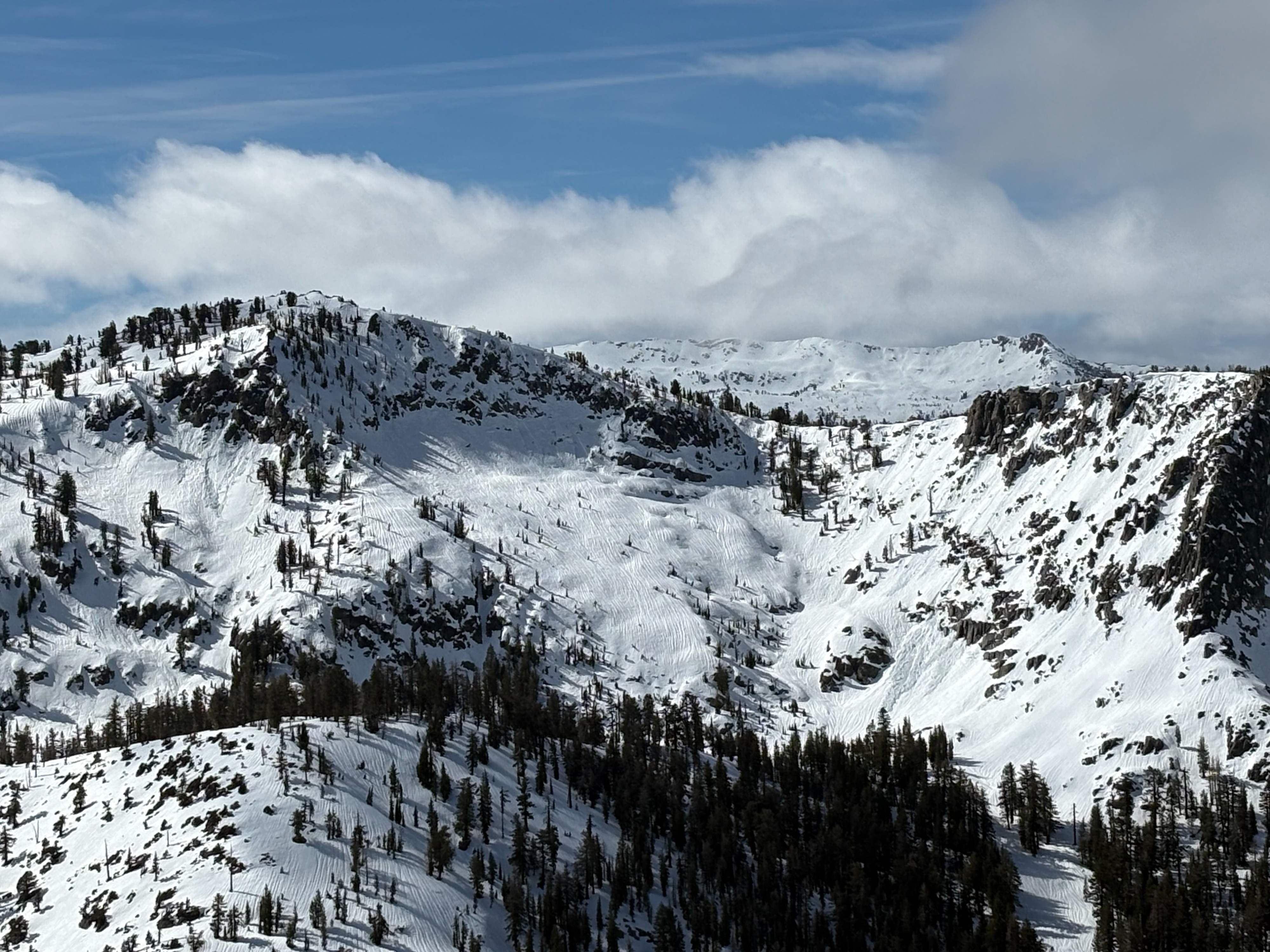
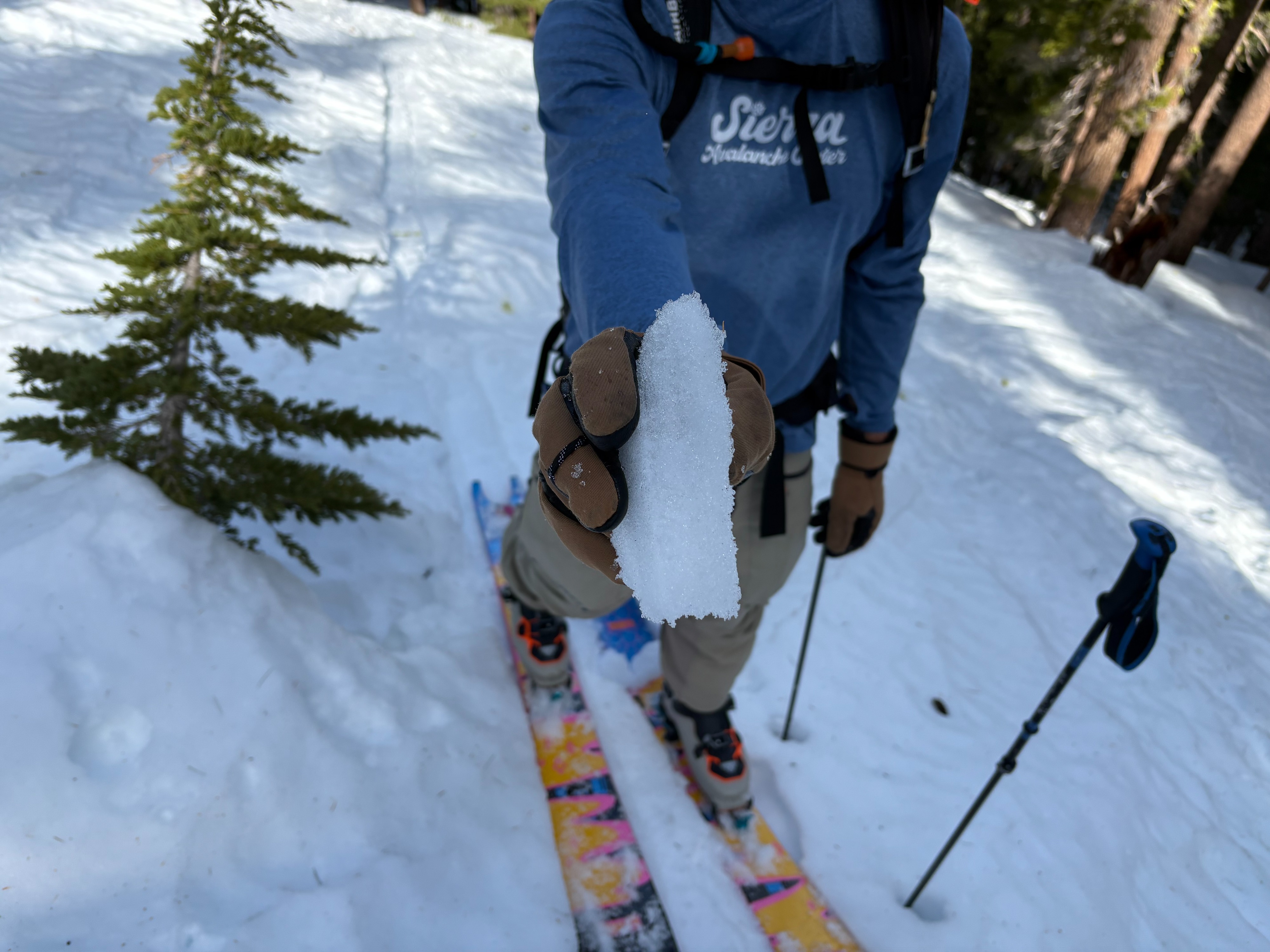
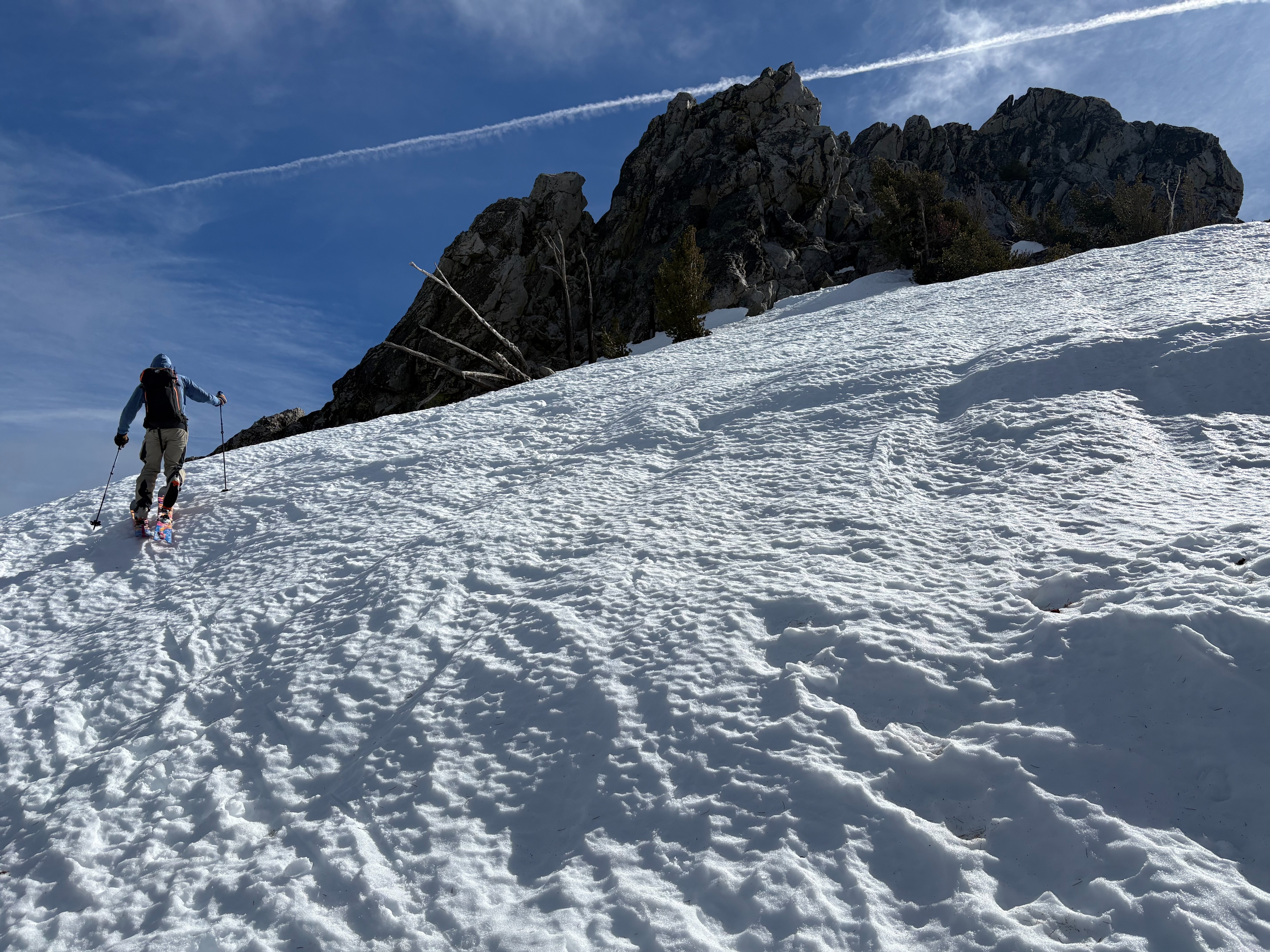
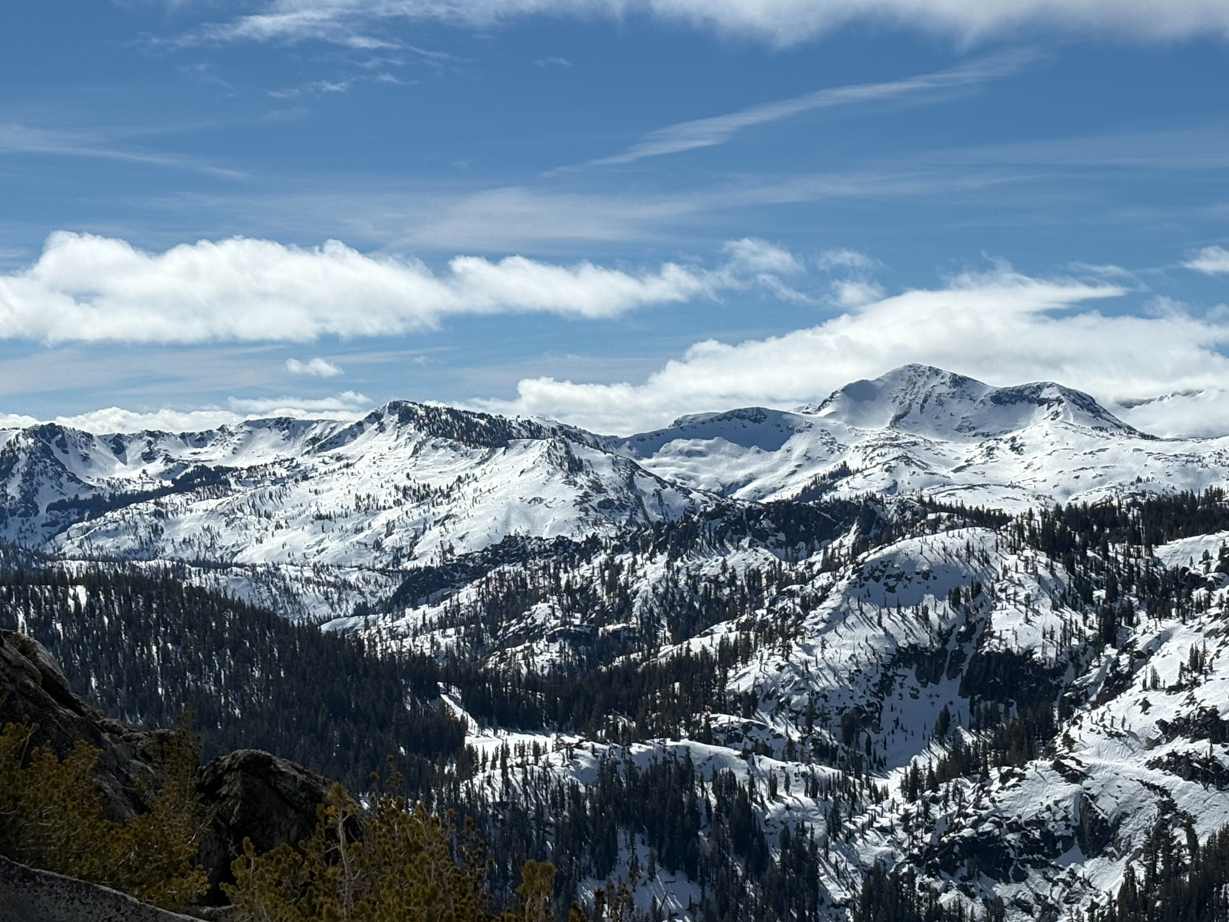
We went to Rubicon Peak to look at what the recent heavy rain has done to the snowpack and to get some views into Desolation Wilderness. The Tuesday-Wednesday rain event has decreased snow depths greatly in this area. Sun exposed slopes have lost much of the recent storm snow and areas below trees have melted out to dirt with wet surface snow everywhere. Above 8300 feet, a thin rain crust existed on the snow surface in most areas except heavily treed areas where wet snow was still present. Rain runnels along with wet loose avalanches were visible on Crag Peak and into Desolation Wilderness. We did not see any larger slab avalanches with good views at a lot of steeper terrain.
We dug a snowpit at a similar location to the SAC Feb 14 Rubicon Observation. This was an area that had well developed faceted snow that formed during the Jan to early Feb dry spell. Recent rain has moved through much of the snowpack and the recent storm snow has settled down to under 2 feet. Snowpack tests in this area showed the Feb 10 layer has gained strength and no longer showing that propagation is likely on this layer at this location.