
Quick report
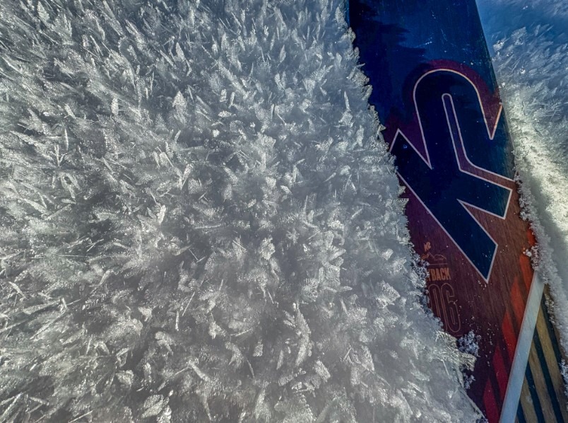
The takeaway is that I will be paying attention to the weak surface snow as the high pressure continues. This is a potential future red flag. We were traveling as per low danger. Weak surface snow - future red flag
Snowpack
Noted surface hoar and weak surface snow on the north half of the compass. Noted surface sloughing on steeper aspects. One potential small surface fracture that may have been related to a wind skin, 1-2" thick and 15-20 feet wide in steep terrain. I'm reluctant to call this an avalanche. Rain crust below 7000' is more prevalent south of McCall. At 7,000 to 7,500', the snow pack is 1-2 deeper north of McCall. It appears that the warm air stayed south of town during the rain event last week.