
Quick report
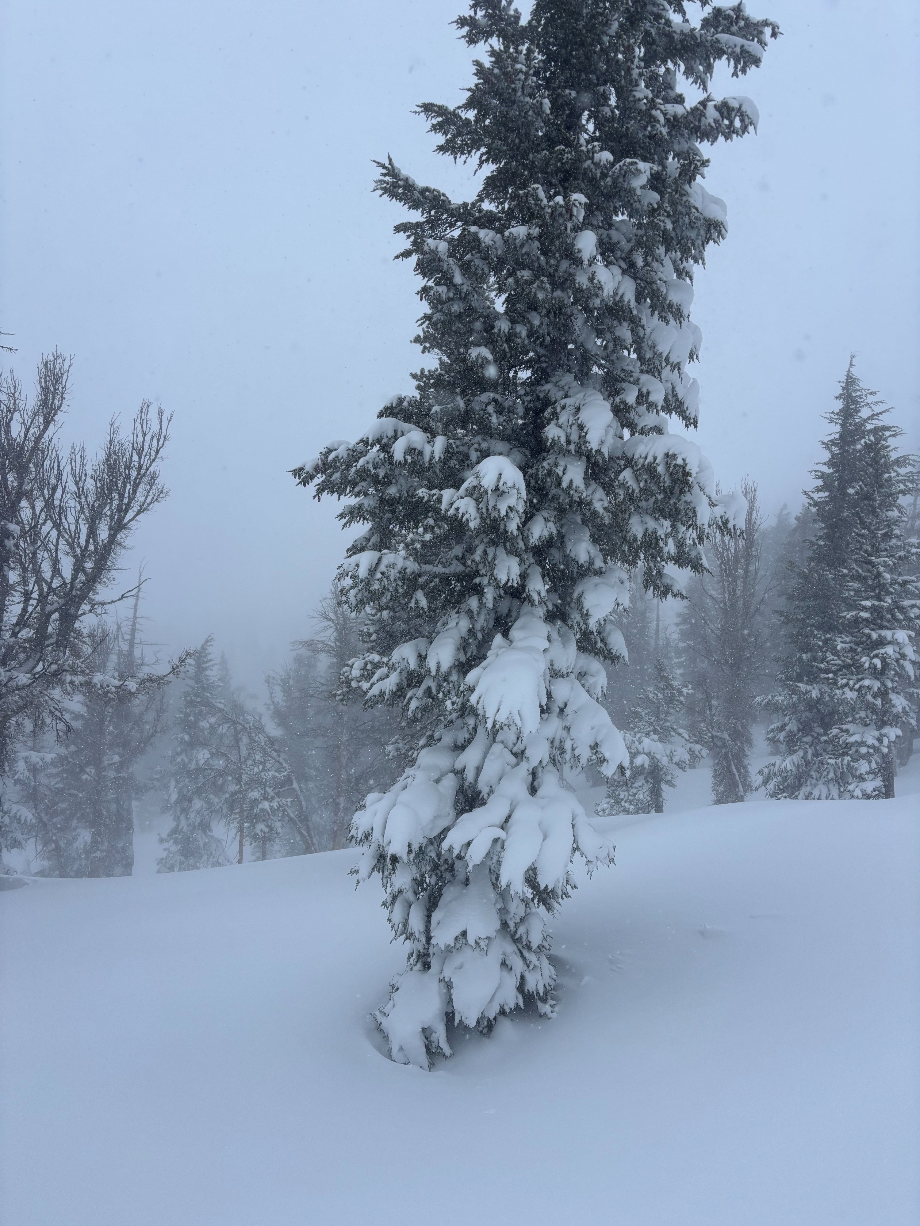
Observed two different areas today, a nearly flat E-NE aspect above the Galena Creek drainage @8200', and N-NW aspect on Slide Mountain outside of the Mt Rose ski area. Access to terrain was limited due to road closures this morning and lack of plowed parking areas. The day started with scattered clouds and cold temps. Cloud cover increased during the day and by late morning, S2 snowfall had started along with a notable increase in SW winds. Winds were transporting new snow, and blowing and drifting snow had formed drifts and wind features by the afternoon above 9000'. I was hoping the new storm snow would have settled somewhat overnight, making for easier travel, however, it was still challenging to break trail. Ski pen was 40-60 cms and stepping out of my skis led to sinking up to my waist. I dug two quick test pits to look for weak layers in the new storm snow and assess the Feb 10 facet layer and Feb 15th interface. On the E aspect, 80-90 cms of new snow rested on top of a firm melt freeze crust. ECTN results were found on multiple storm snow layers. On a N aspect at 9100', new storm snow totaled 100cms. I targeted an area where I knew faceted snow existed under the storm snow. Upon stepping out of my skis, I immediately sank through the new snow and into the softer faceted snow below. I conducted a PST test on the Feb 10 facets: PST 30/100 end, 100cms down (see video). This layer could potentially be difficult to trigger with skis on, but shows the propensity to propagate in this area.