
Quick report
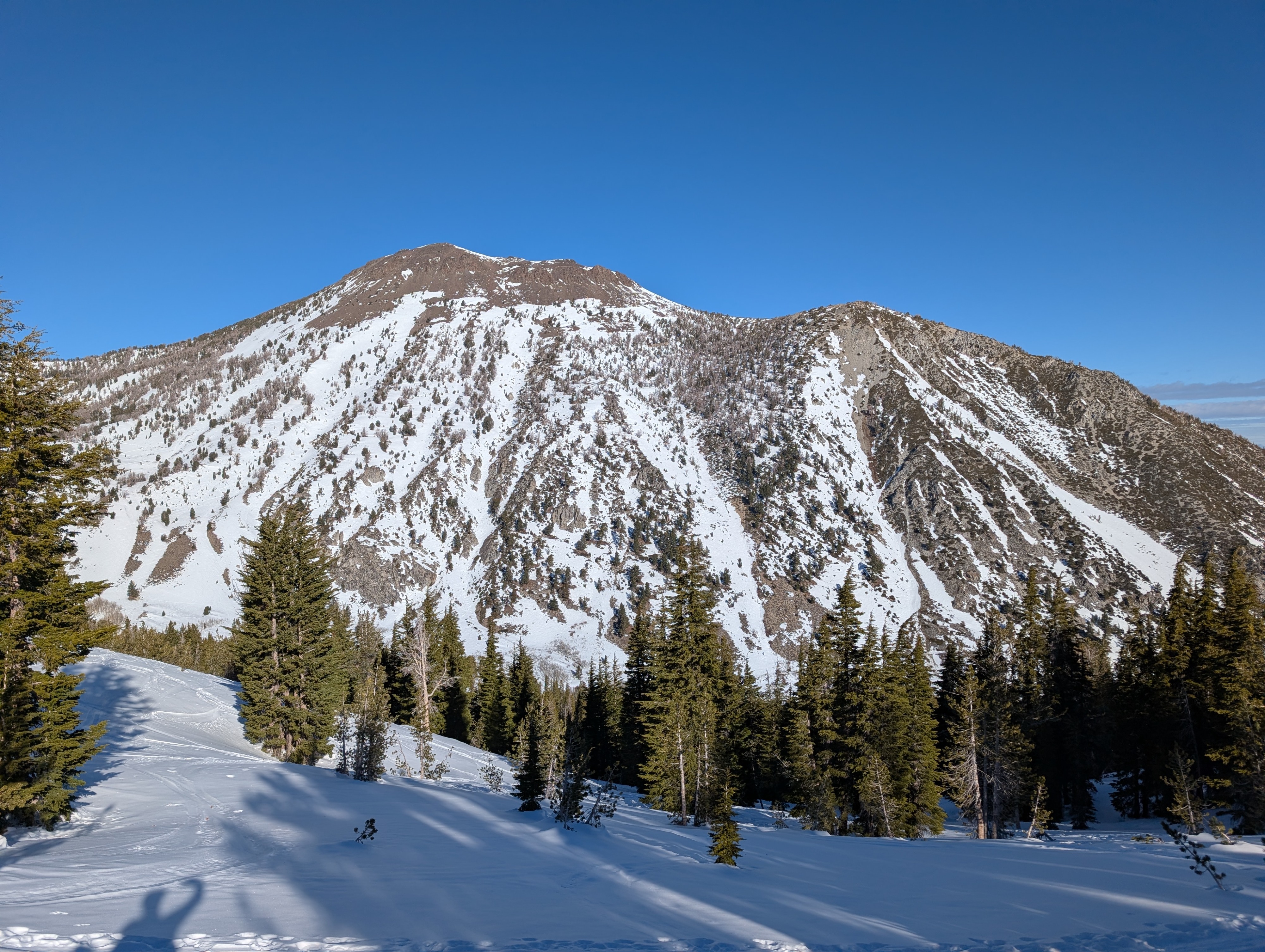
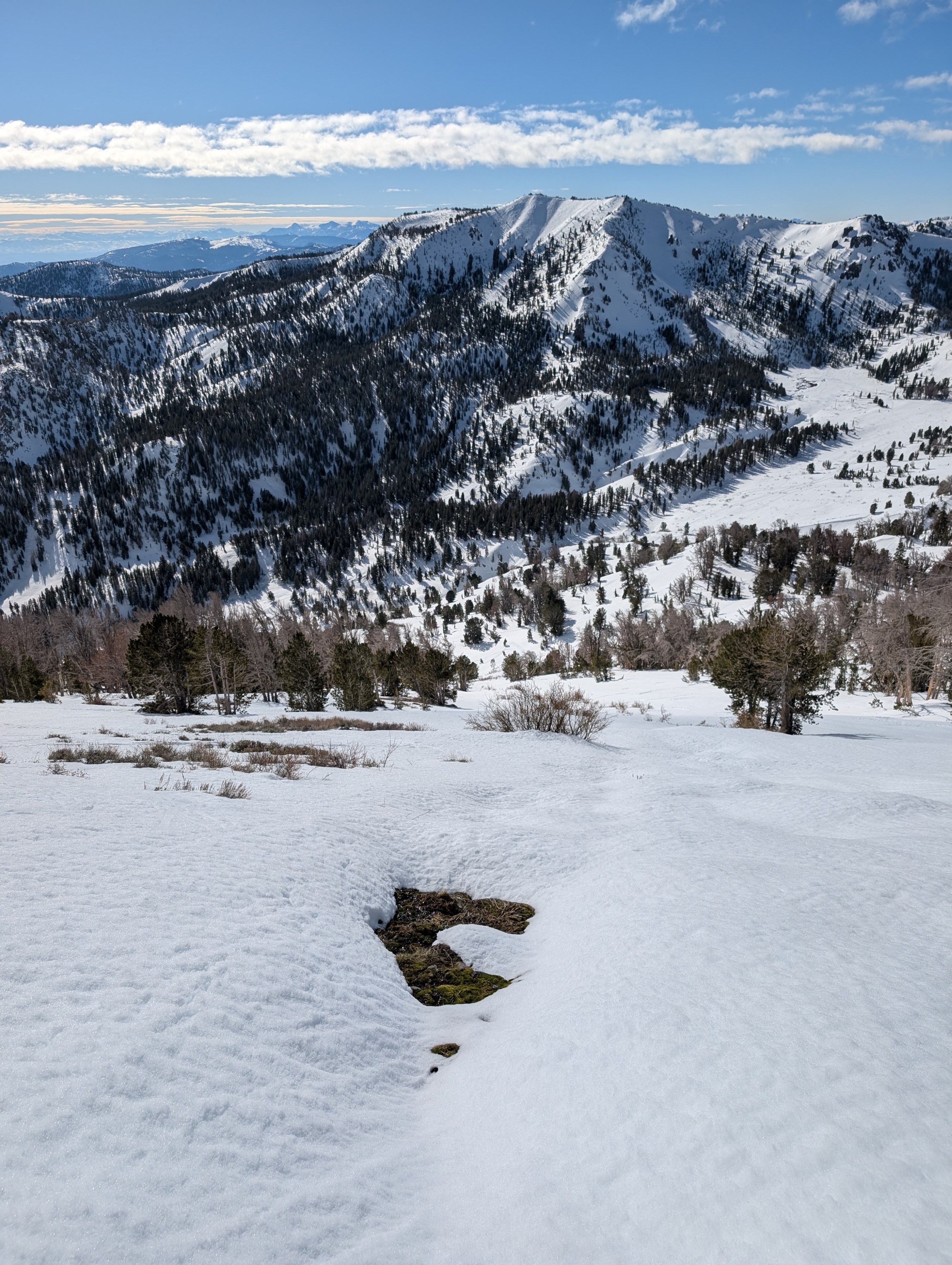
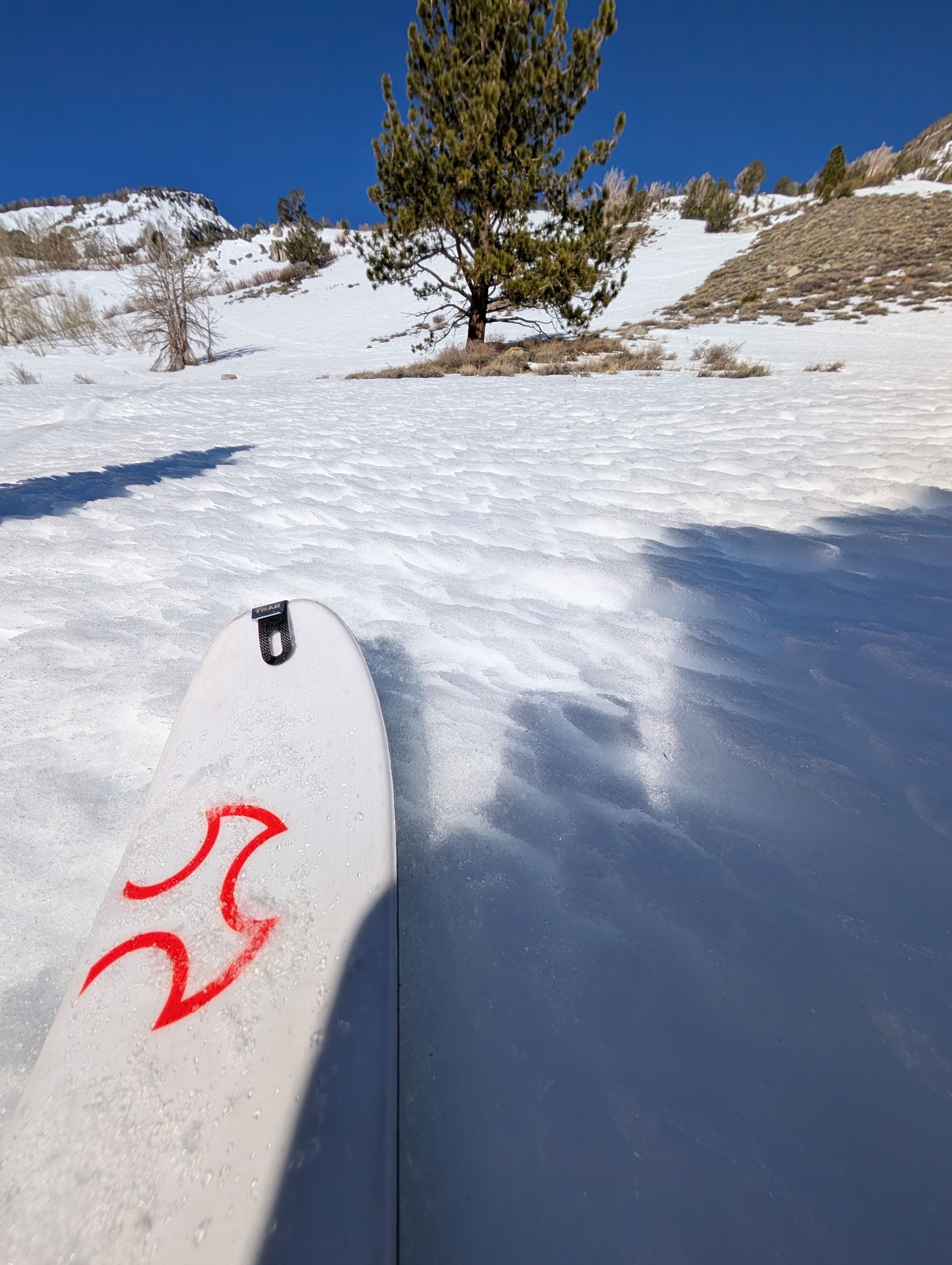
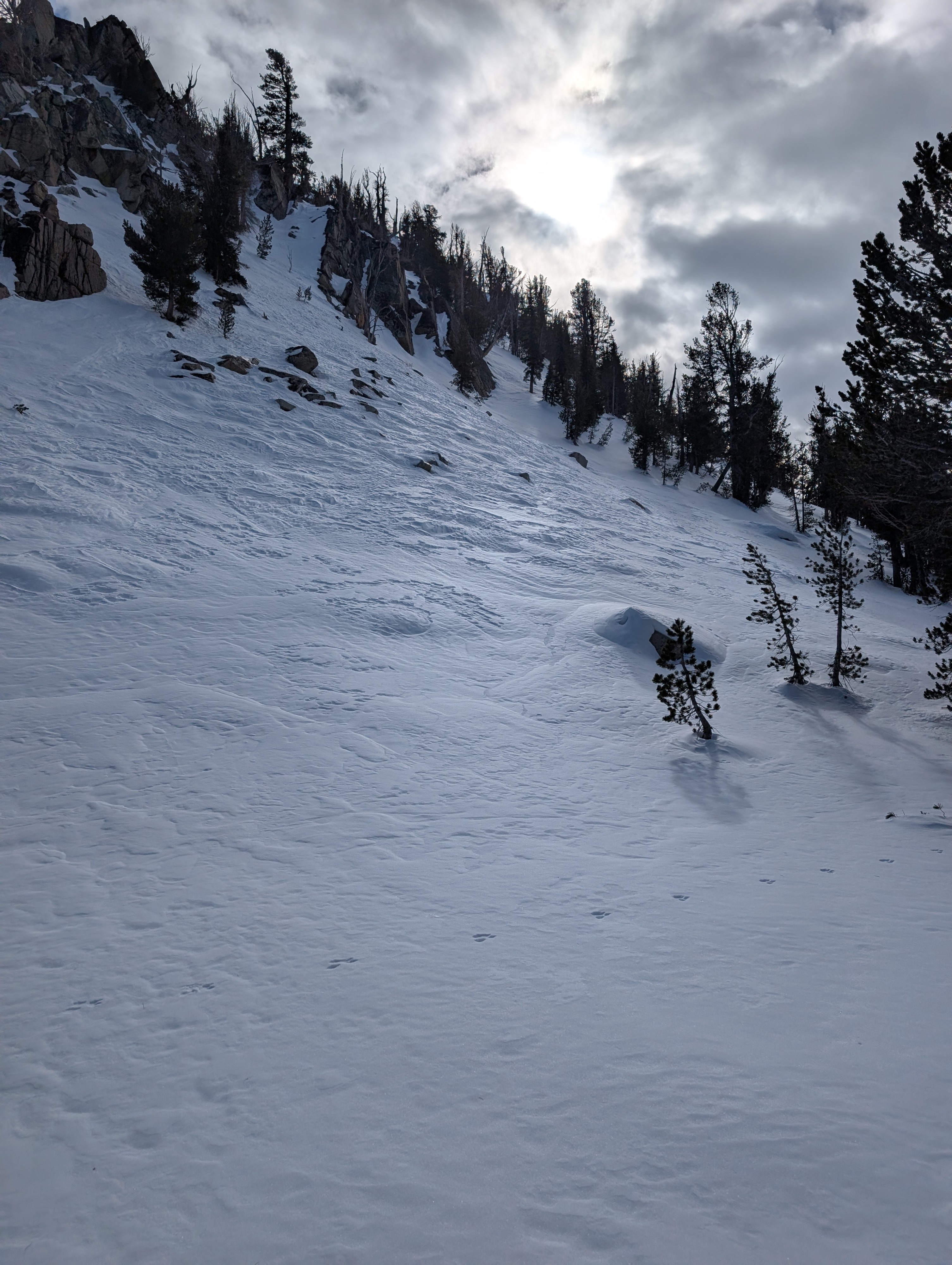
Our tour focused on viewing a variety of aspects and elevations to see how the snow conditions continue to change during the dry weather. We moved through S-SE-N-NE aspects during the day and found all kinds of snow surfaces as expected. Some faceted surface snow lingers on high elevation N-NE-E aspects that don't see much direct sun. In more exposed areas, we found semi-firm wind buff, some scoured surfaces, and other wind-affected snow surfaces.
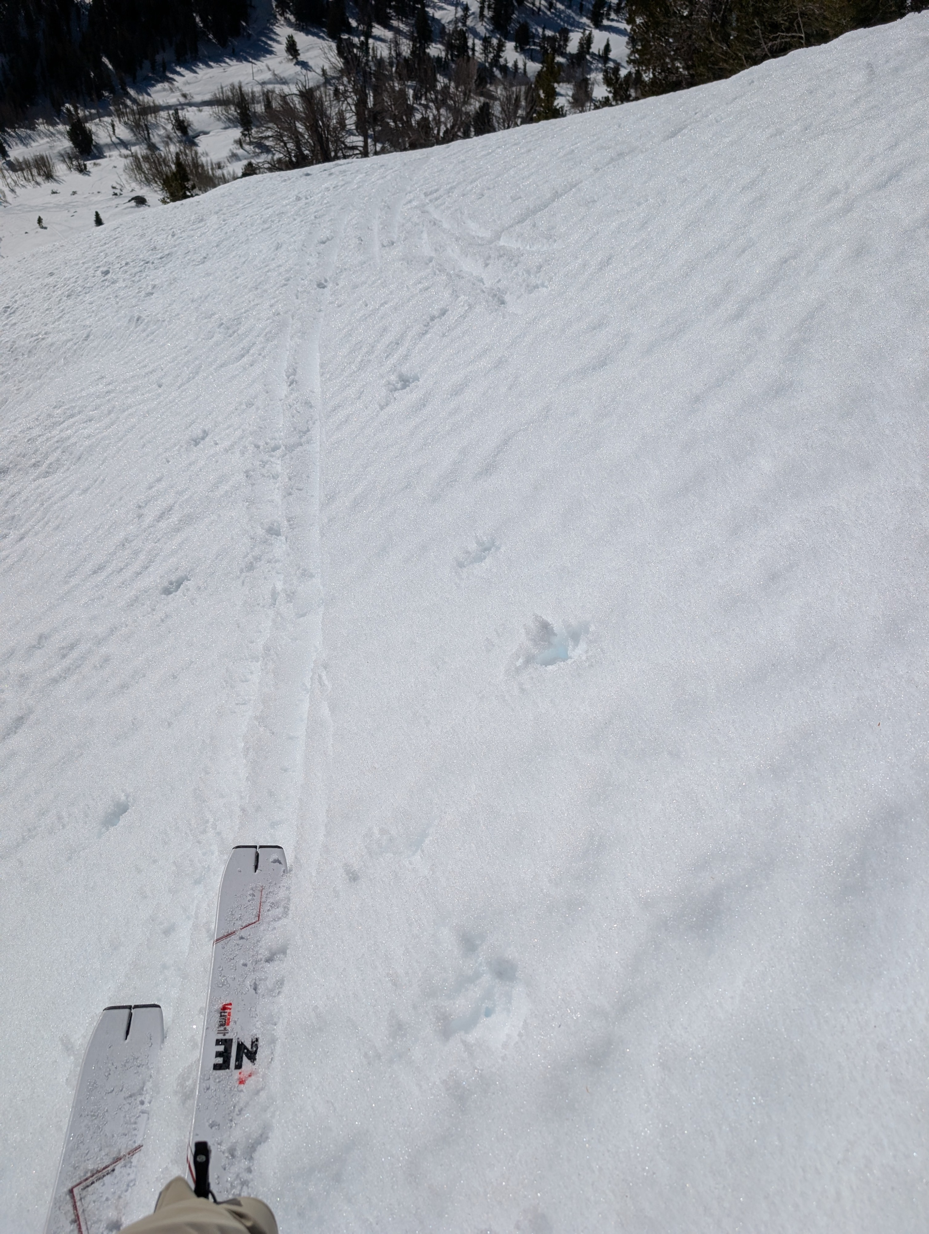
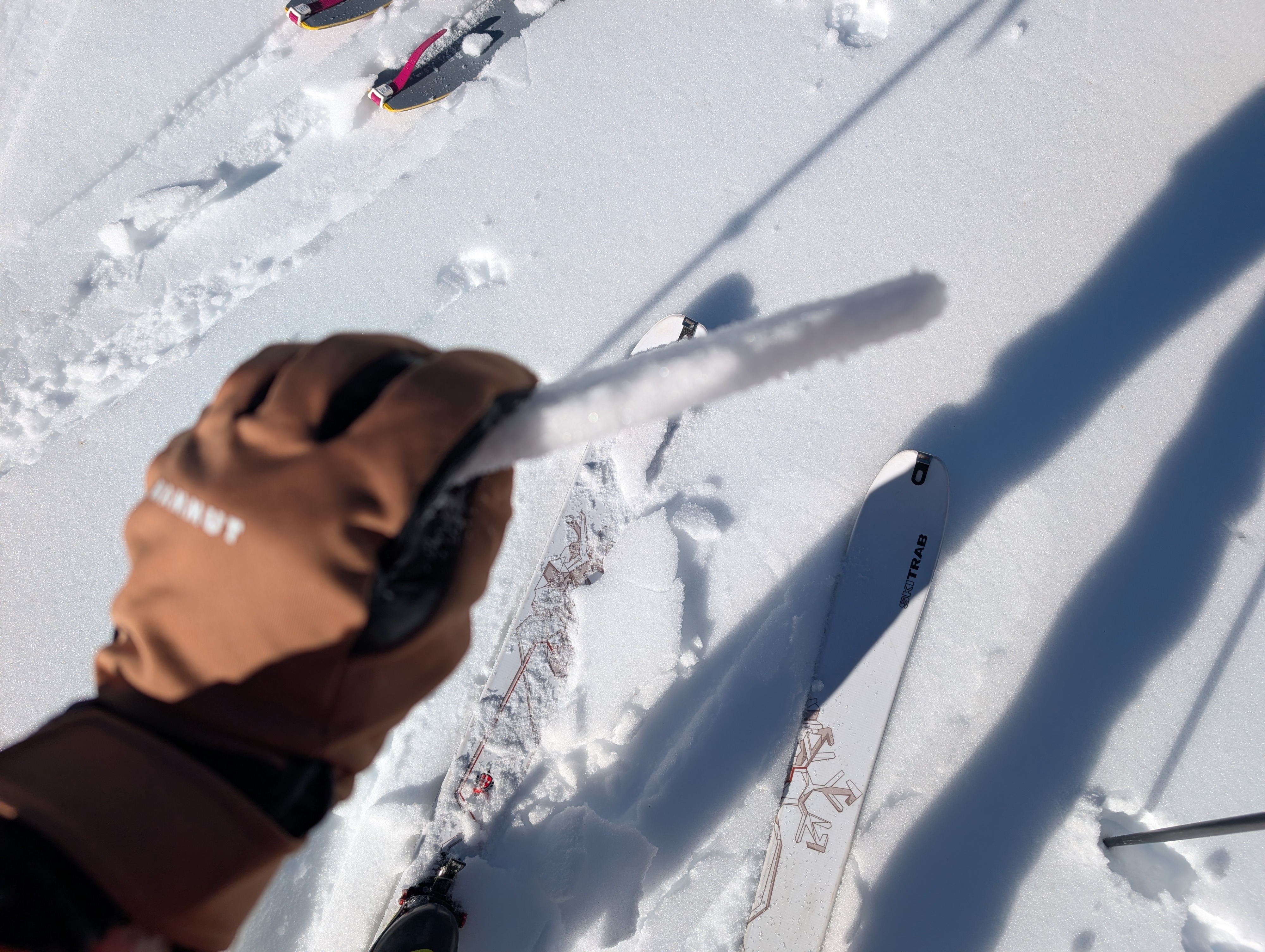
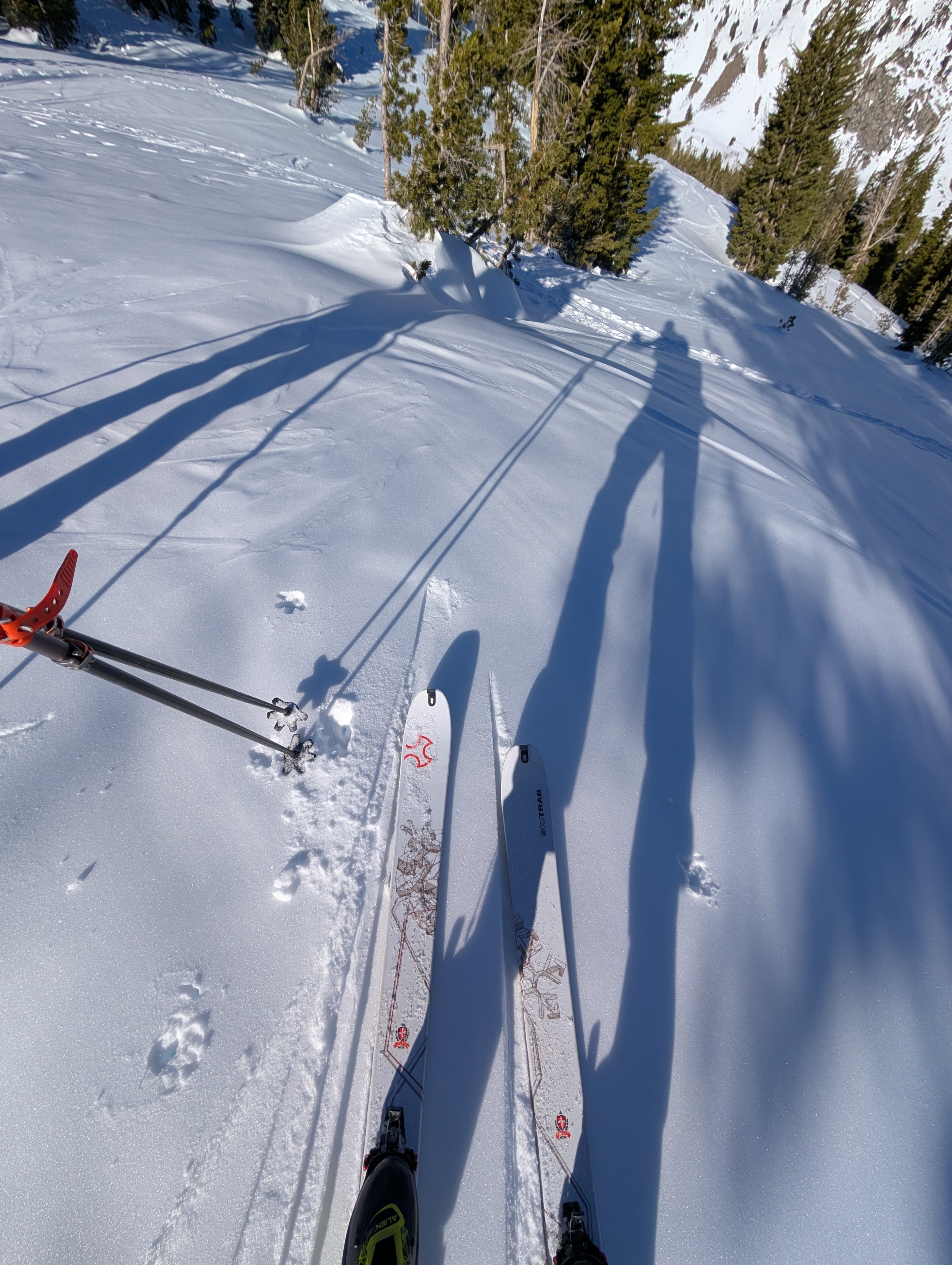
As we moved onto sunny SE-S aspects, snow surfaces became more consistent with firmer melt-freeze snow in the morning that turned into about an inch of soft wet snow on top of supportable melt-freeze snow by midday. It felt like spring snow on the due S aspects, especially on steeper S-facing slopes. Ski cuts on these slopes did not trigger roller balls or any other signs of unstable wet snow. It seemed just warm enough to make the travel conditions smooth and consistent, but not warm enough for deeper wet snow to form.
In areas that did not get as much sun, the snow remains transitional with breakable crusts in some places and colder snow in others. Overall, we did not see much concerning the snowpack. The near-surface facets appear only moderately developed on some slopes, and the wet snow appears similarly limited in development.
Weather
- Cloud Cover
- few
- Wind Loading
- none
- Snow Avail For Transport
- none
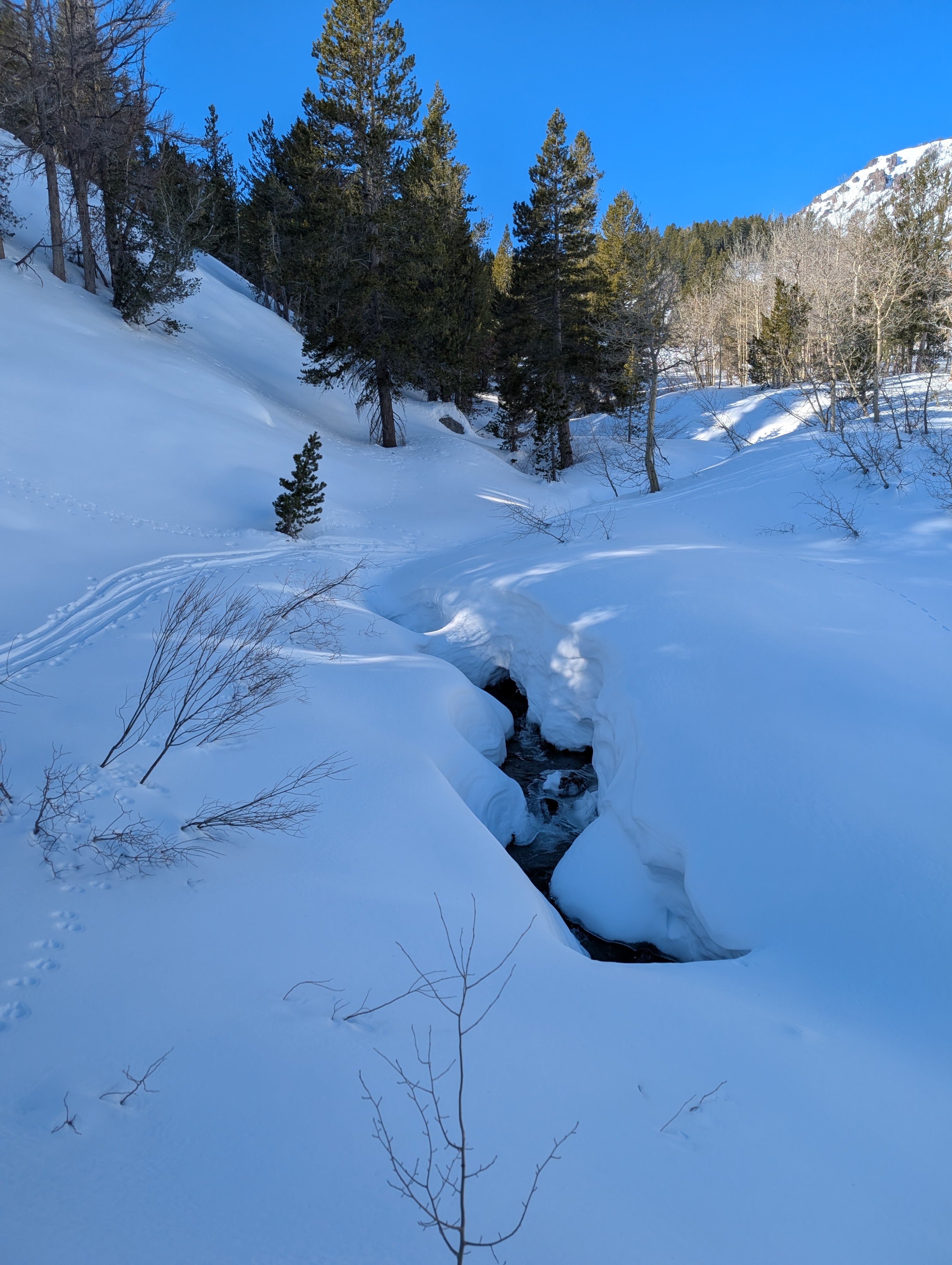
Today's weather remained warm and sunny with calm winds even at locations above 10,000 ft. Some scattered clouds moved through the area in the morning.