
Quick report
- Cracking
- widespread
- Collapsing
- widespread
Avalanches are very likely and can be triggered from a distance away. A storm brought 30-35cm of new snow that formed a slab on top of weak old snow. Danger will increase throughout the weekend as more snow falls and temperatures rise.
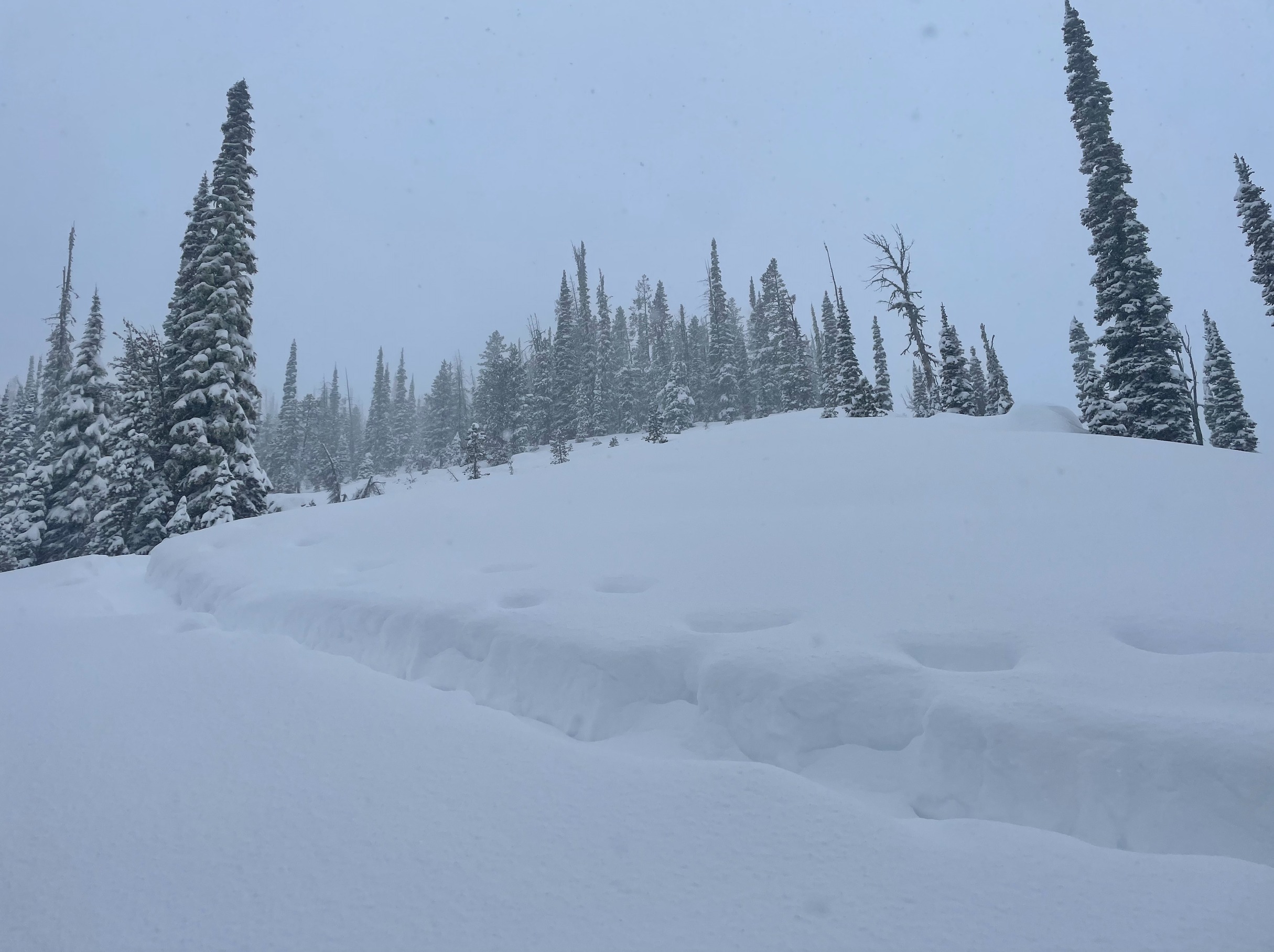
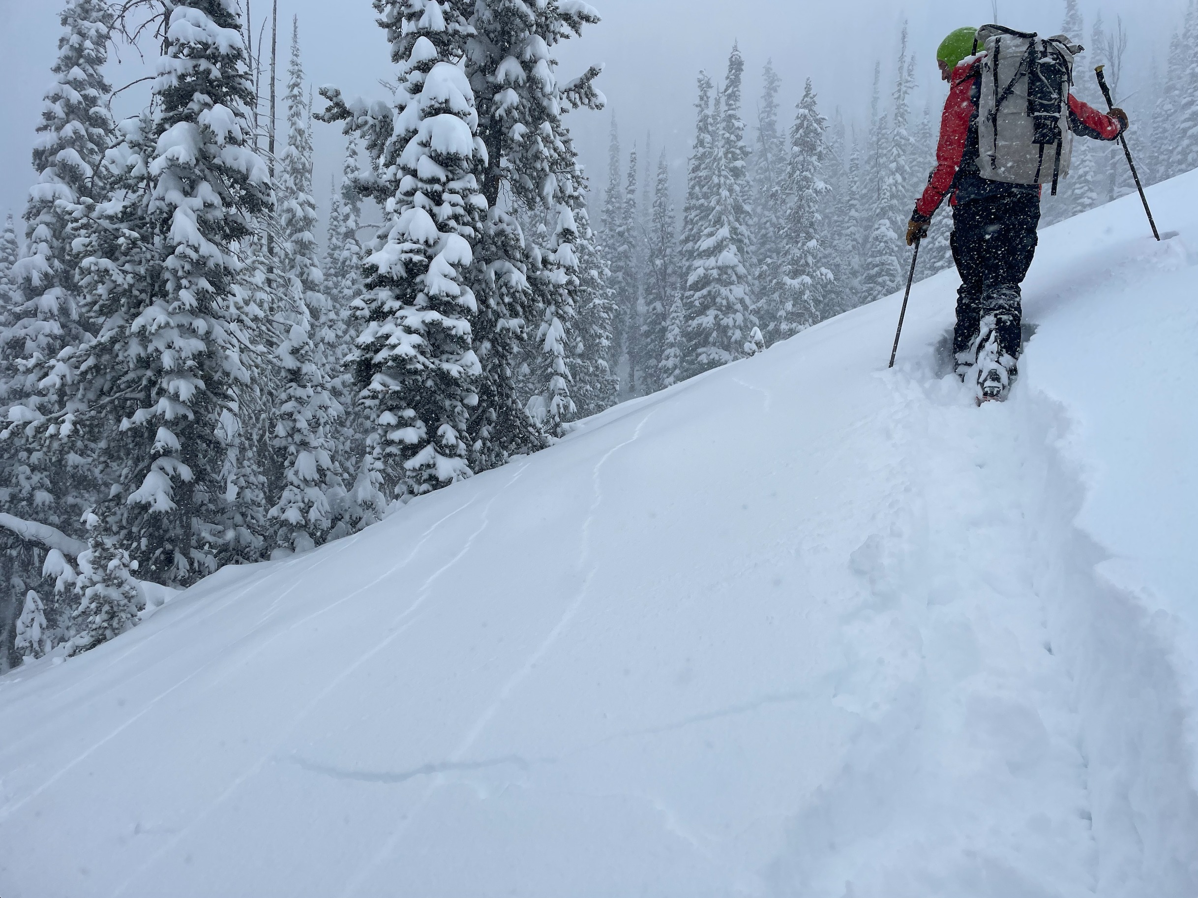
At middle elevations with very little wind-loading, we remotely triggered multiple small avalanches from over 100 feet away. One of these appeared to sympathetically release a pocket that was at least 500 feet away. Cracking and collapsing were widespread, it was hard to walk onto an open slope without collapsing it. Even at low elevations in the forest the weak layer+slabs were connected well enough to propagate cracks up to 50 feet.Weather
- Air Temp
- estimated mid-20s to near 30 F
- Cloud Cover
- overcast
- Wind Loading
- unknown
- Rain Elevation
- Precip falling as all snow
- Recent Snowfall
- 15-20cm
- Snow Avail For Transport
- large amounts
Skies were socked in the day. Snowfall was consistently heavy, with up to 2" falling per hour from when we left the car at 1130 until we returned at 1630. While we mostly traveled in terrain sheltered from the wind, winds at ridgelines could be heard for much of the day — indicating at least moderate wind speeds. Temperatures were below freezing, however they gradually warmed throughout the day.
Snowpack
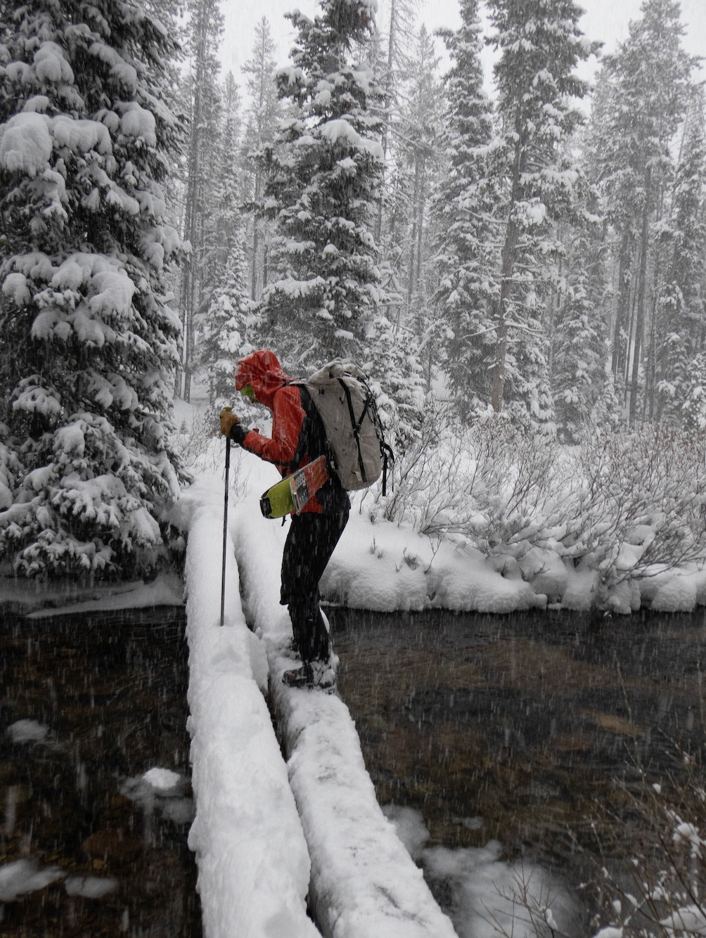
Departing at 1130, there was enough snow on the ground to skin at highway level. While still having to navigate an uncovered creek crossing, the lowest elevations we traveled (6700') had 30-35cm of snow to travel on. This was mostly new snow, with a few cms of icy, crusty snow below (with small facets on top). Making our way up through the trees, we almost immediately started experiencing cracking on the snow surface. As we climbed, we could hear muffled collapses in the snowpack. These collapses would travel more than 50 feet, even in sheltered areas in the trees. Temperatures gradually increased throughout the day but remained below freezing — forming a cohesive slab out of the storm snow that became denser as time went on. Beneath this new storm snow is a 10cm thick stack of relatively large (3-4mm) advanced facets that developed during an extended drought in November. These grains are cupped, striated, and chained. Below these facects is a very stiff, icy crusts that developed earlier in the month of November. This provides a pronounced strong over weak structure, a perfect recipe for avalanches.
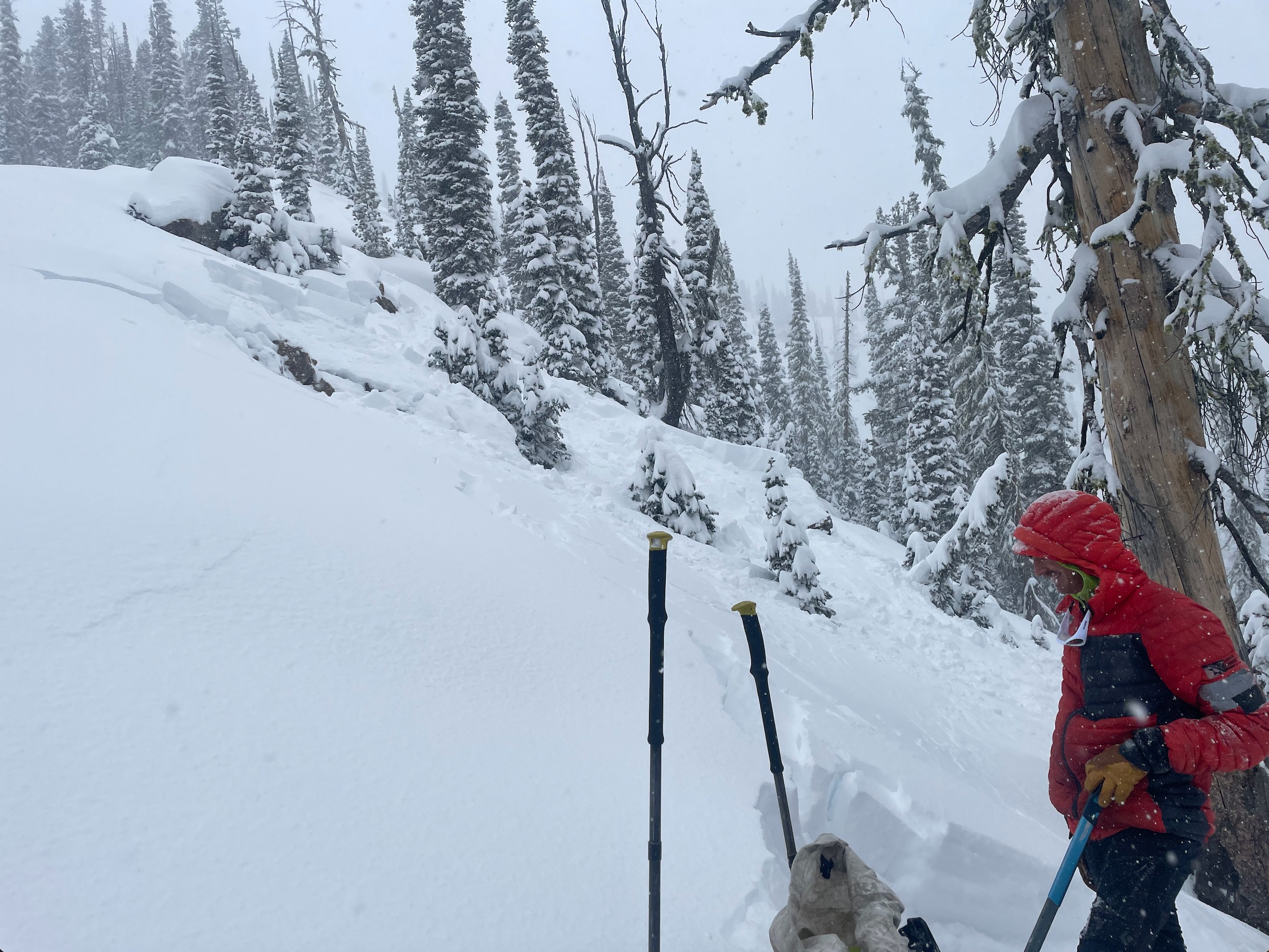
We remotely triggered several avalanches from up to 100ft away during our uphill travel. As the debris from one slide hit the apron of the slope below, it sympathetically triggered another slide on a nearby slope from the impact. While visibilty was poor, during brief periods of clearing we observed at least a half dozen small, natural avalanches. All of the avalanche activity that we observed ran on the interface between the storm snow and old snow. While conducting two different ECT's we found that the snowpack collapsed and propagated with only light force at the new/old snow interface 33cm down into a 67cm snowpack(ECTP2 x2 ↓33).
Avalanche
- Size
- D1 R2
- Type
- SS
- Aspect
- N
- Trigger
- AS
- Elevation
- 7850 ft
We remotely triggered several avalanches from up to 100ft away during our uphill travel. As the debris from one slide hit the apron of the slope below, it sympathetically triggered another slide on a nearby slope from the impact.