
Quick report
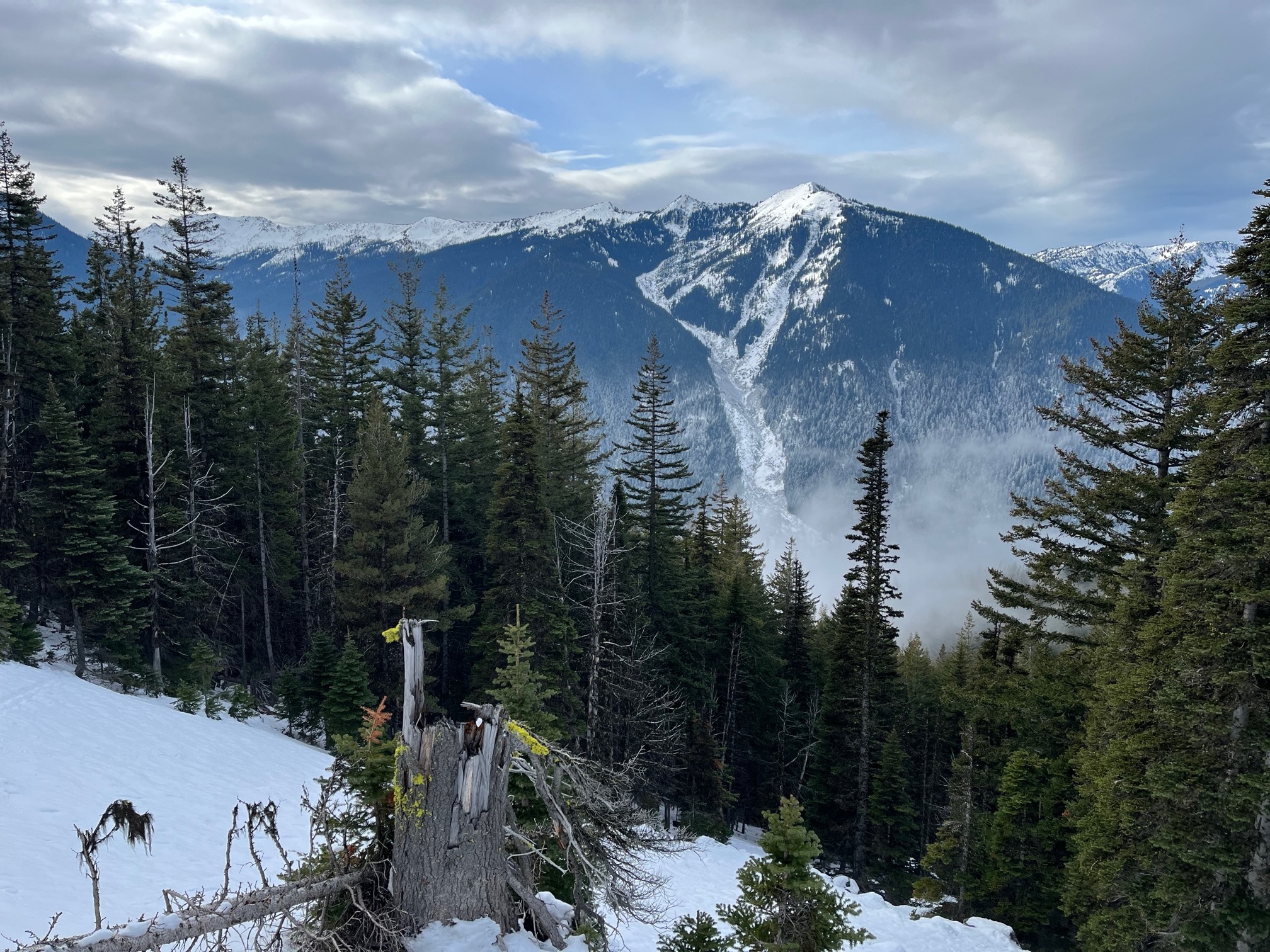
Nice day out in a beautiful part of the zone, though surface conditions were tricky with breakable crust in many areas and shallow coverage limited access. There was a notable difference in snowpack between the inversion line, which sat around 4,500ft.
No instabilities found.Weather
- Cloud Cover
- broken
- Wind Loading
- none
- Snow Avail For Transport
- small smounts
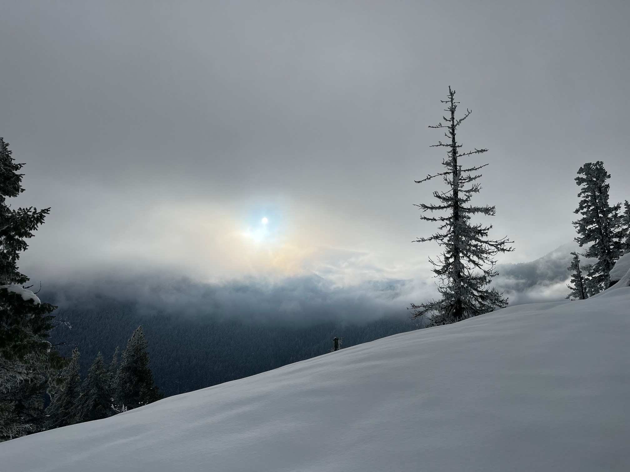
Increasing high clouds with valley fog that decreased during the day, but hung out mid canyon all day. Temperatures were notably warmer above 4,500ft, which is where the frost on the trees dissipated.
Snowpack
HS ranged from about 40cm at the end of the road to up to 90cm or so at 5,400ft.
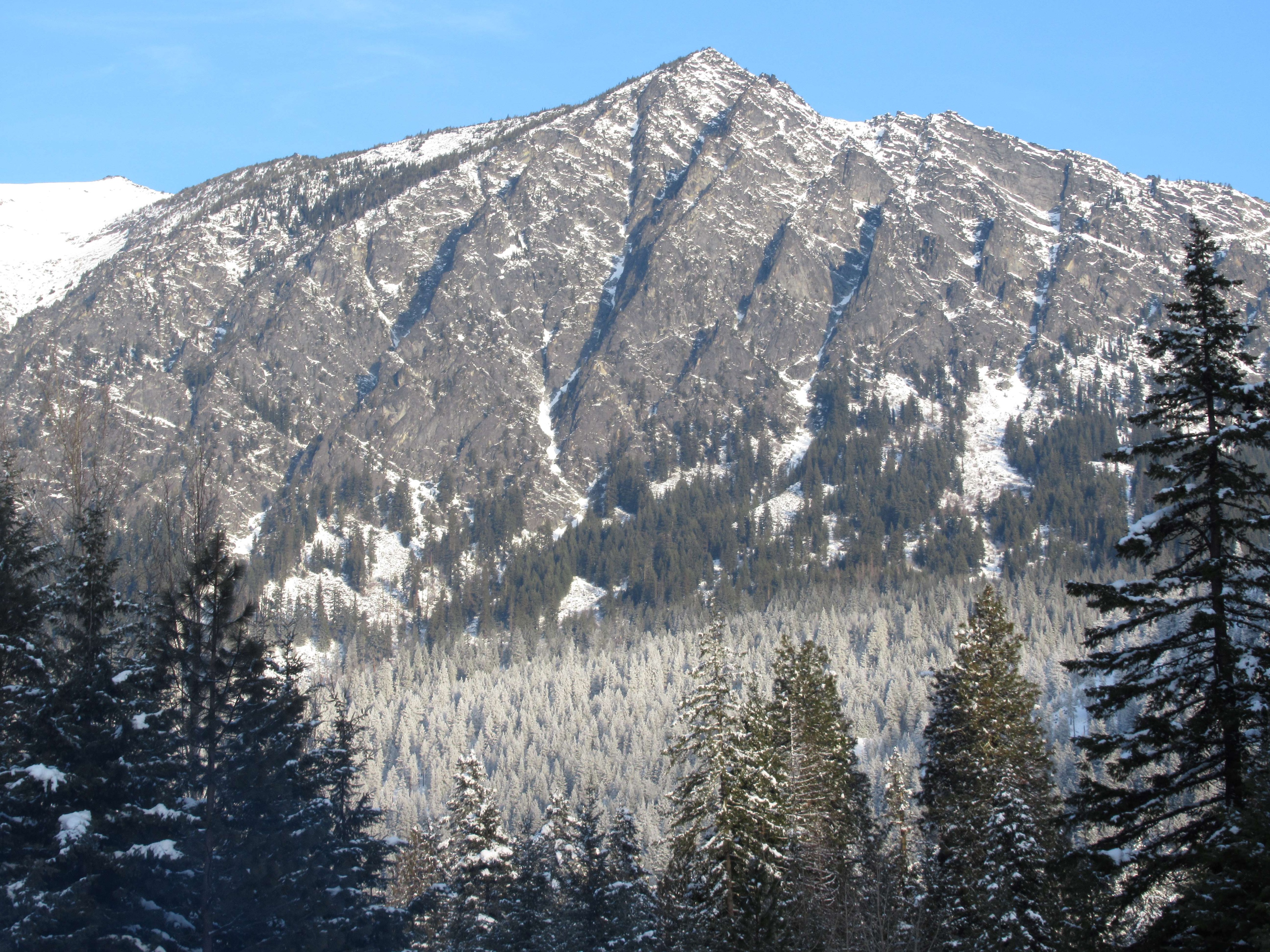
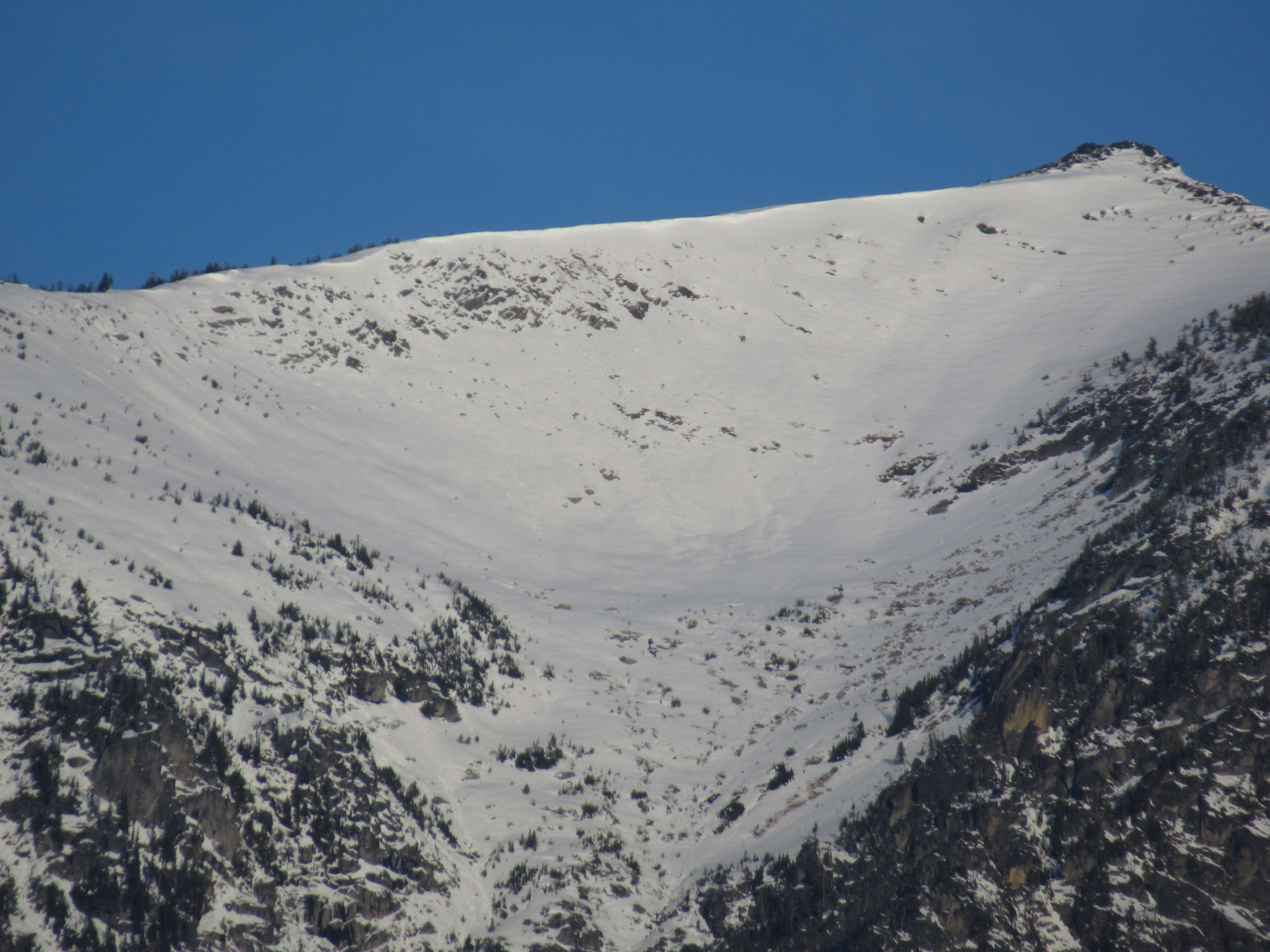
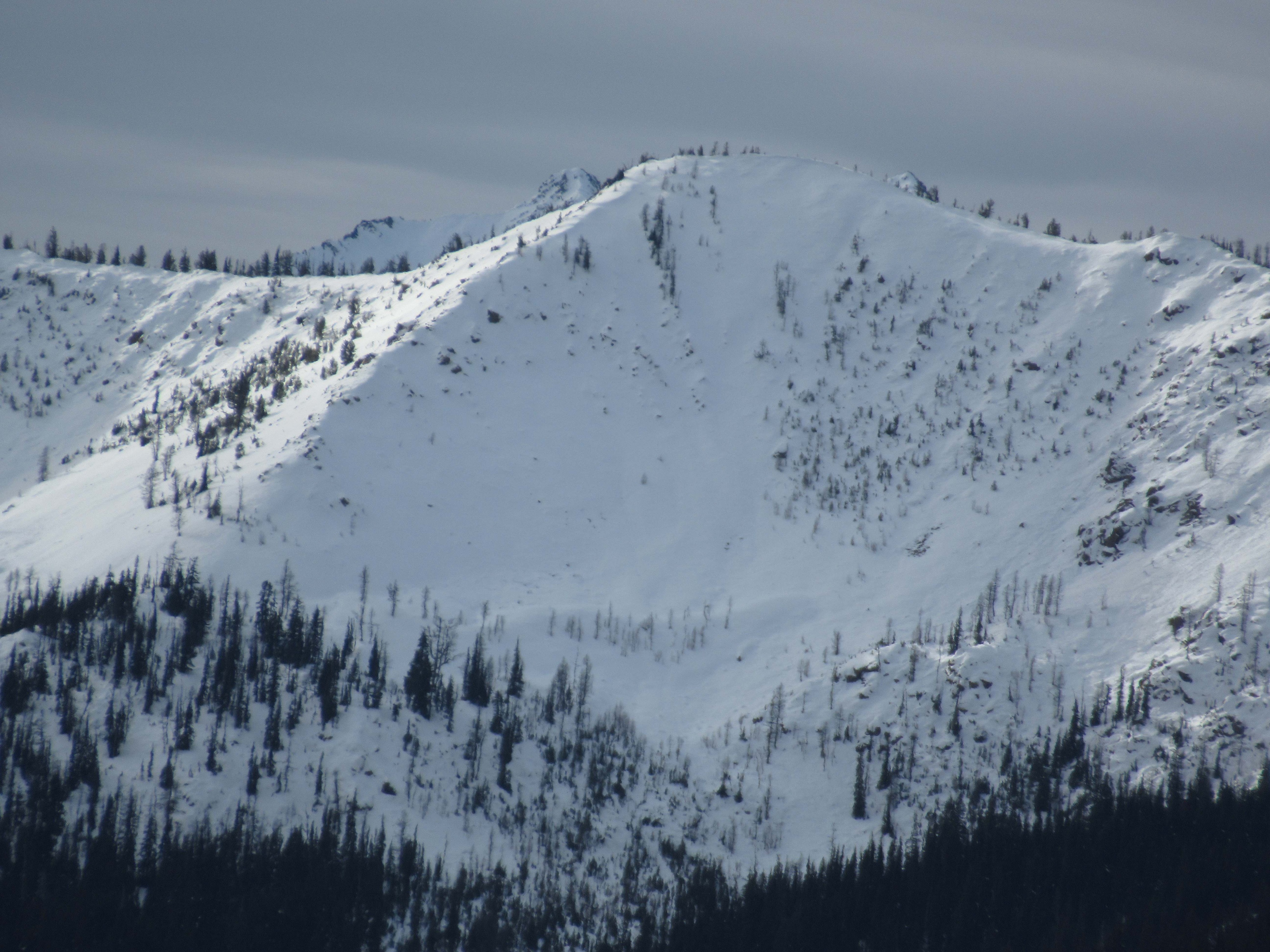
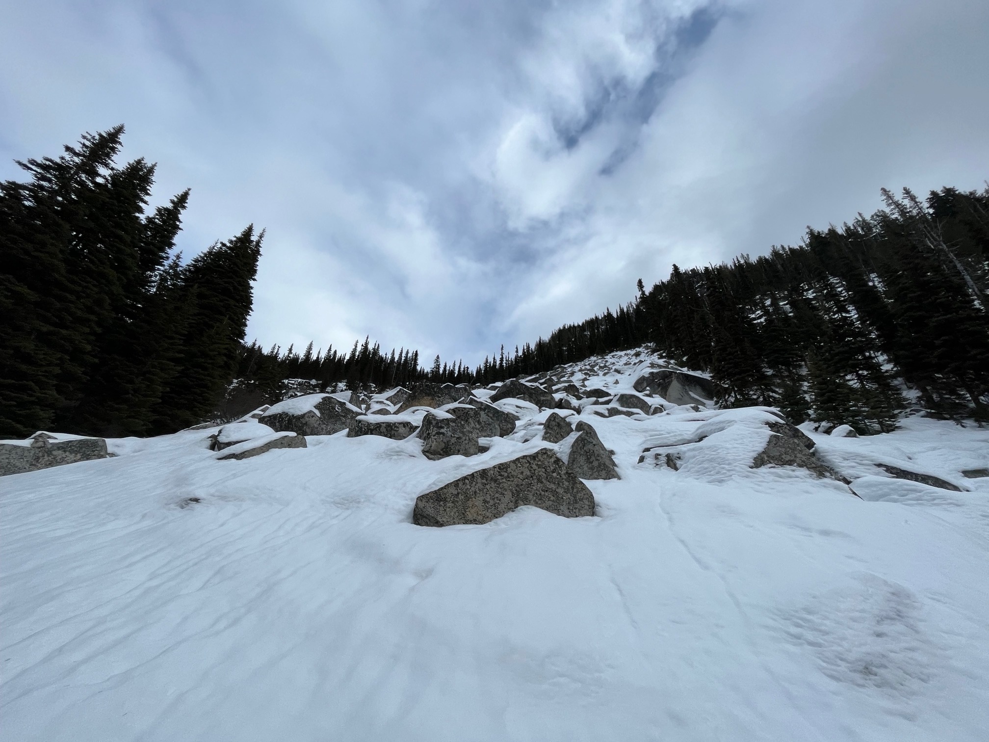
The effects of the prolonged inversion are becoming more apparent. Average elevation of the inversions of the past week was about 4,500ft. Below this elevation snow surfaces looked more wintry, and have been staying cold. Above this, the frost dissipates from the trees and the snowpack becomes more shallow on aspects that catch the sun. Once above about 5,000ft the snowpack becomes deeper again in the shade, but day after day of sun have melted back many SE-SW aspects to bare rock.
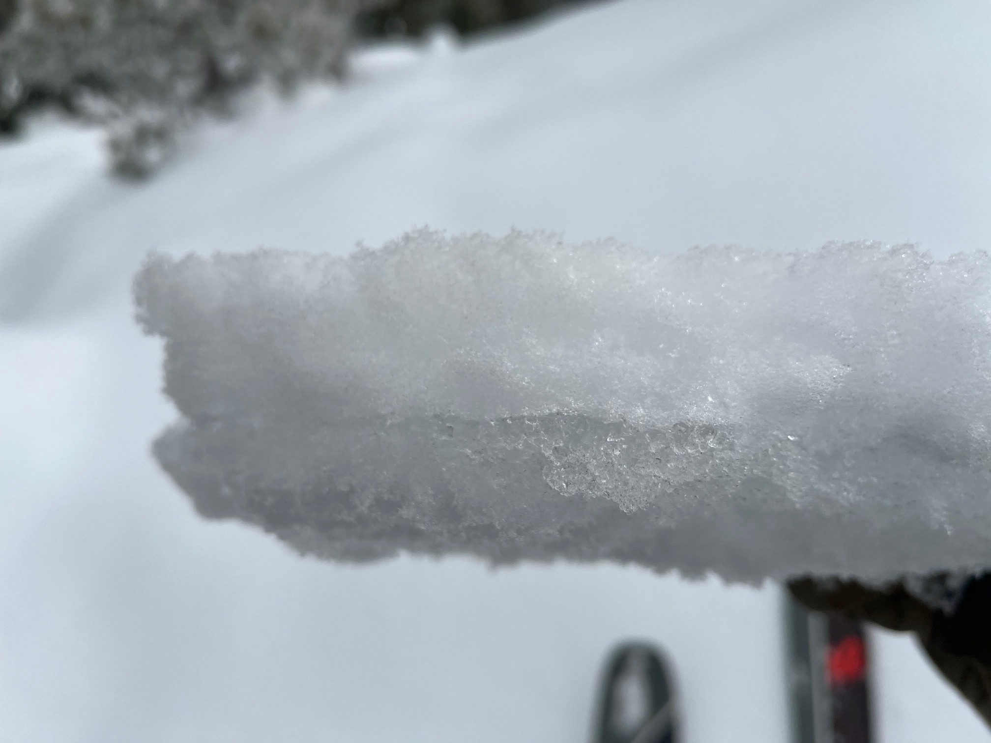
Below the inversion the near surface crust is a translucent freezing rain crust (~1cm) with a few cm's of faceted snow above (See photos above). F hard faceted grains exist below as well.
On a NW aspect at 5,400ft I found 90cm with a few cm's of moist DF's above the crust (see photo below). The crust was more brittle, opaque rain crust here (~0.5cm). About 10cm of F+ small faceted rounds/ faceted melt forms existed below. Beneath this the snowpack was strong (1F to P) to the ground.