
Quick report
- Cracking
- isolated
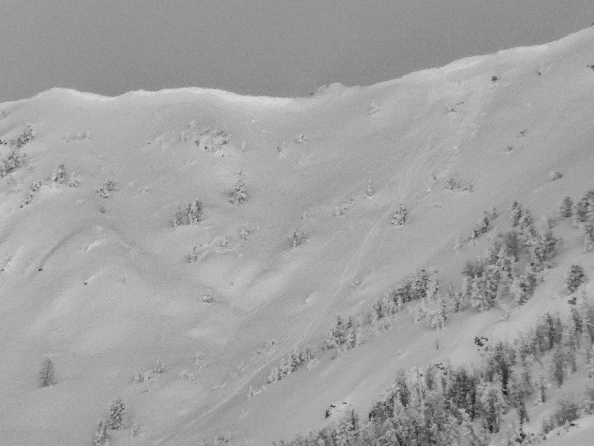
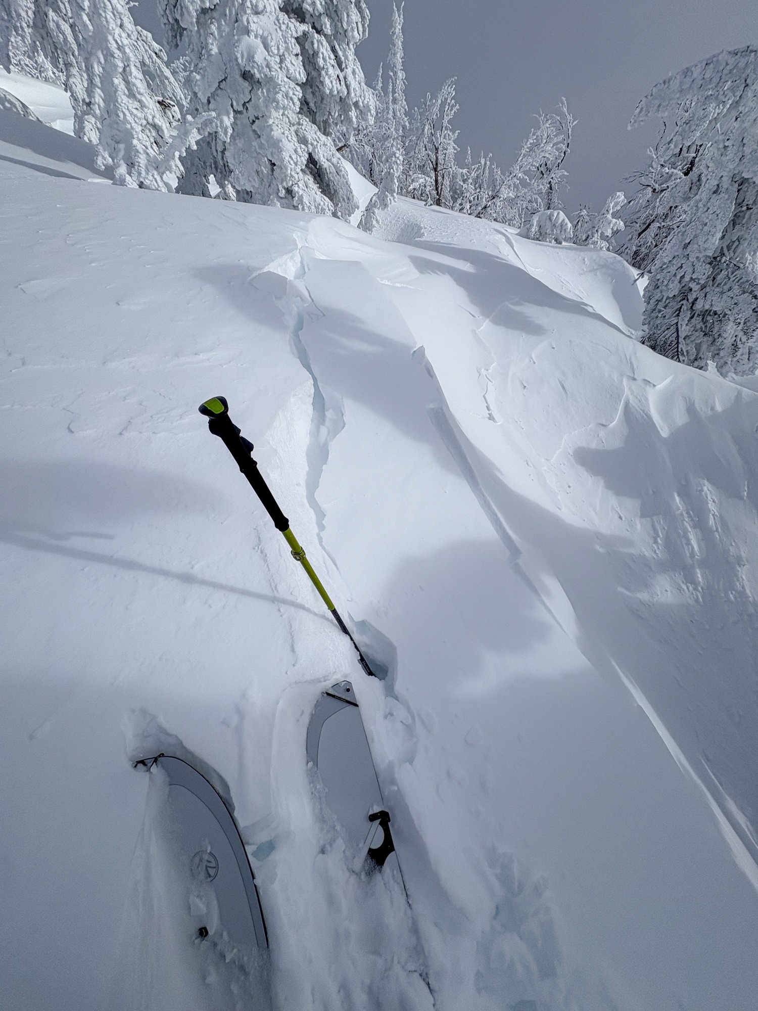
We observed a handful of small wind slab avalanches along windy ridgelines lee to WNW and NW wind, and initiated cracks in fresh drifts in similar locations.
20-30 cm deep cracking in drifts/cornices lee to WNW and NW wind.Weather
- Cloud Cover
- broken
- Wind Loading
- moderate
- Recent Snowfall
- 15-42 cm since (1/1)
- Snow Avail For Transport
- large amounts
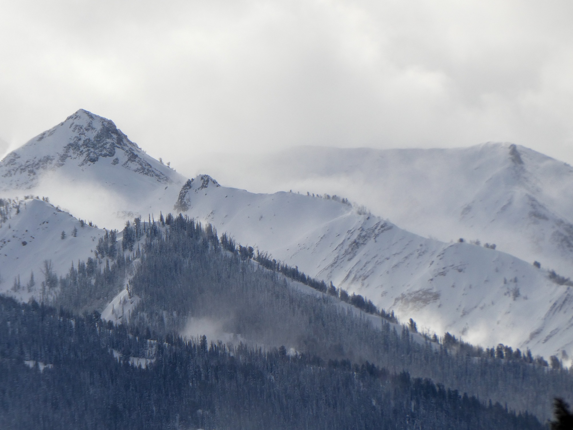
Blustery and cold. Some extended, localized stretches of blue sky overhead, but most surrounding mountains were shrouded in mid-level clouds and blowing snow. Some intermittent snowfall, but no noticeable accumulation.
Snowpack
New snow depths above (1/1) increased from 15 cm (7,500')→30 cm (8,000')→45 cm (9,500'). The (1/1) interface looked pretty well bonded in all hand pits and stability tests including over crusts (lower and sunnier slopes) and FCsf (upper shaded).
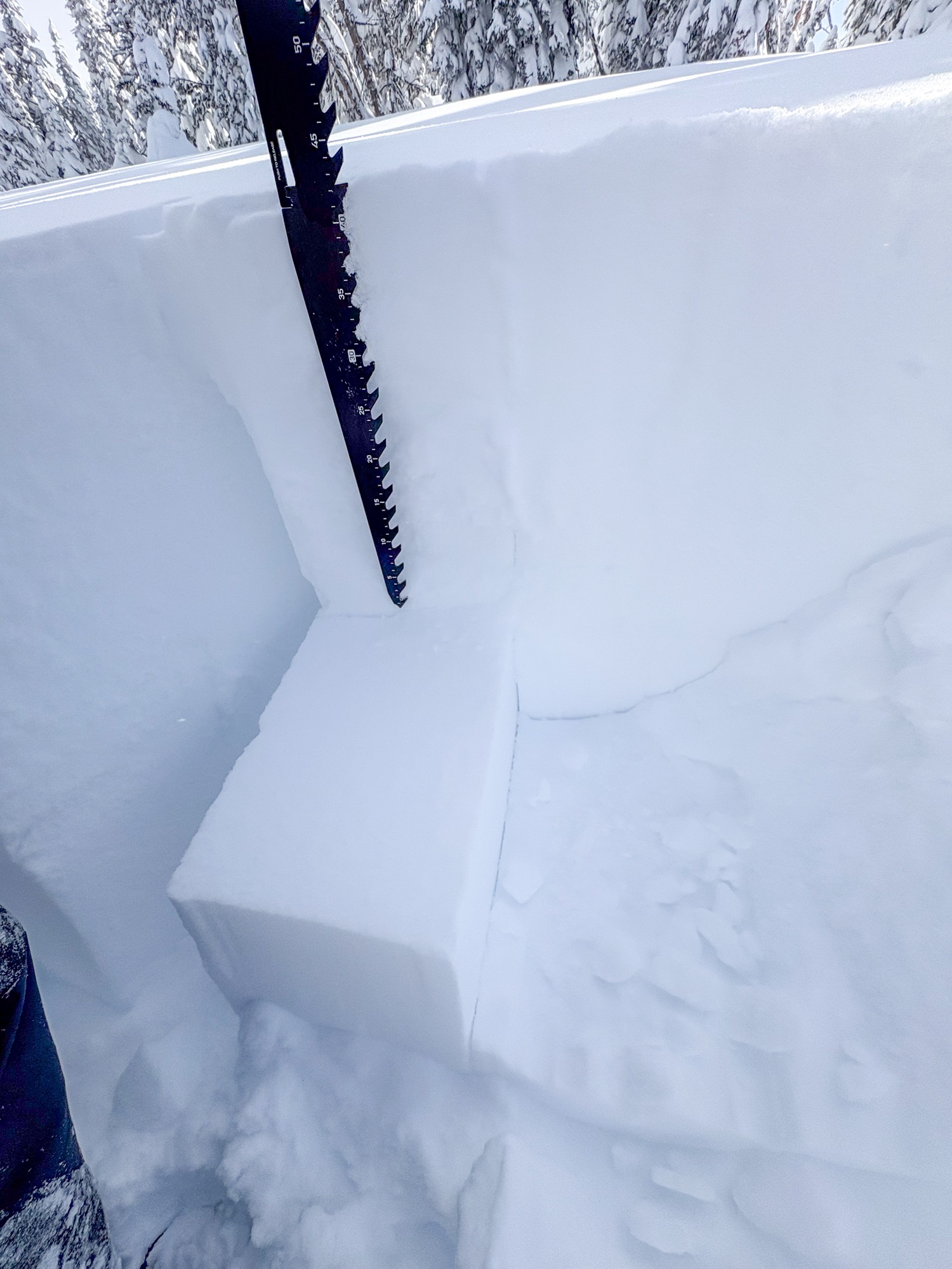
NW @ 9,400' HS=170 cm:
(1/1) presented as a 2 cm layer of 2 mm FCsf ↓42cm (photo). CT24, 24 (RP) and ECTN23.
There were a couple of nondescript mid-storm layers that didn't seem concerning.
Avalanche
About 5 or 6 small wind slab avalanches. Most looked cornice triggered and did not run far.