
Quick report
- Cracking
- isolated
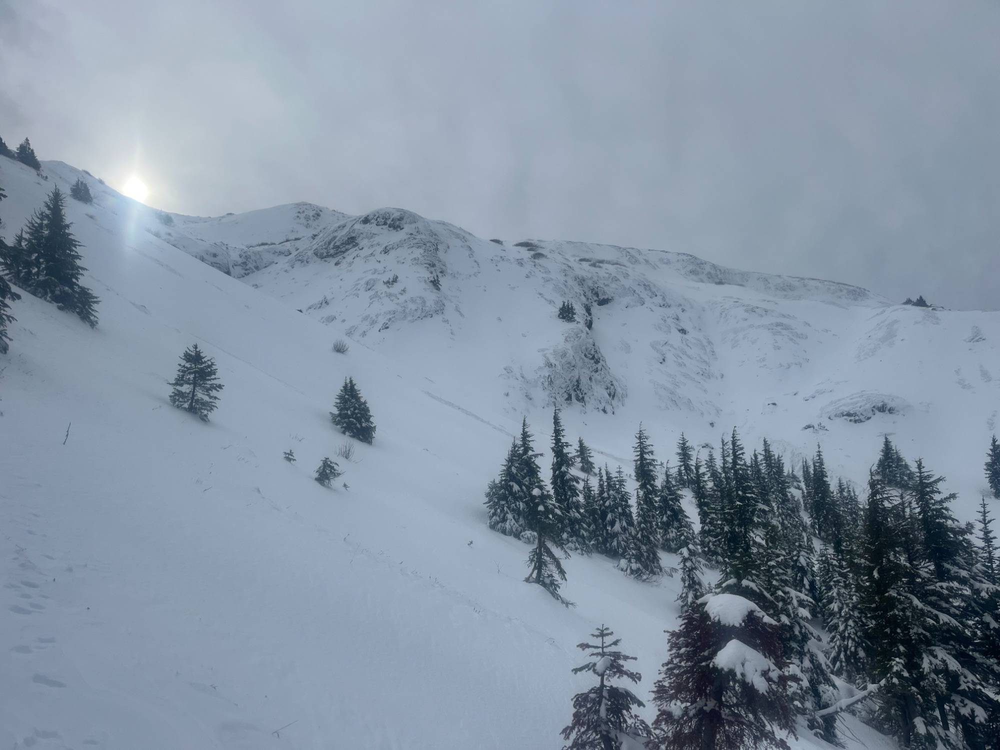
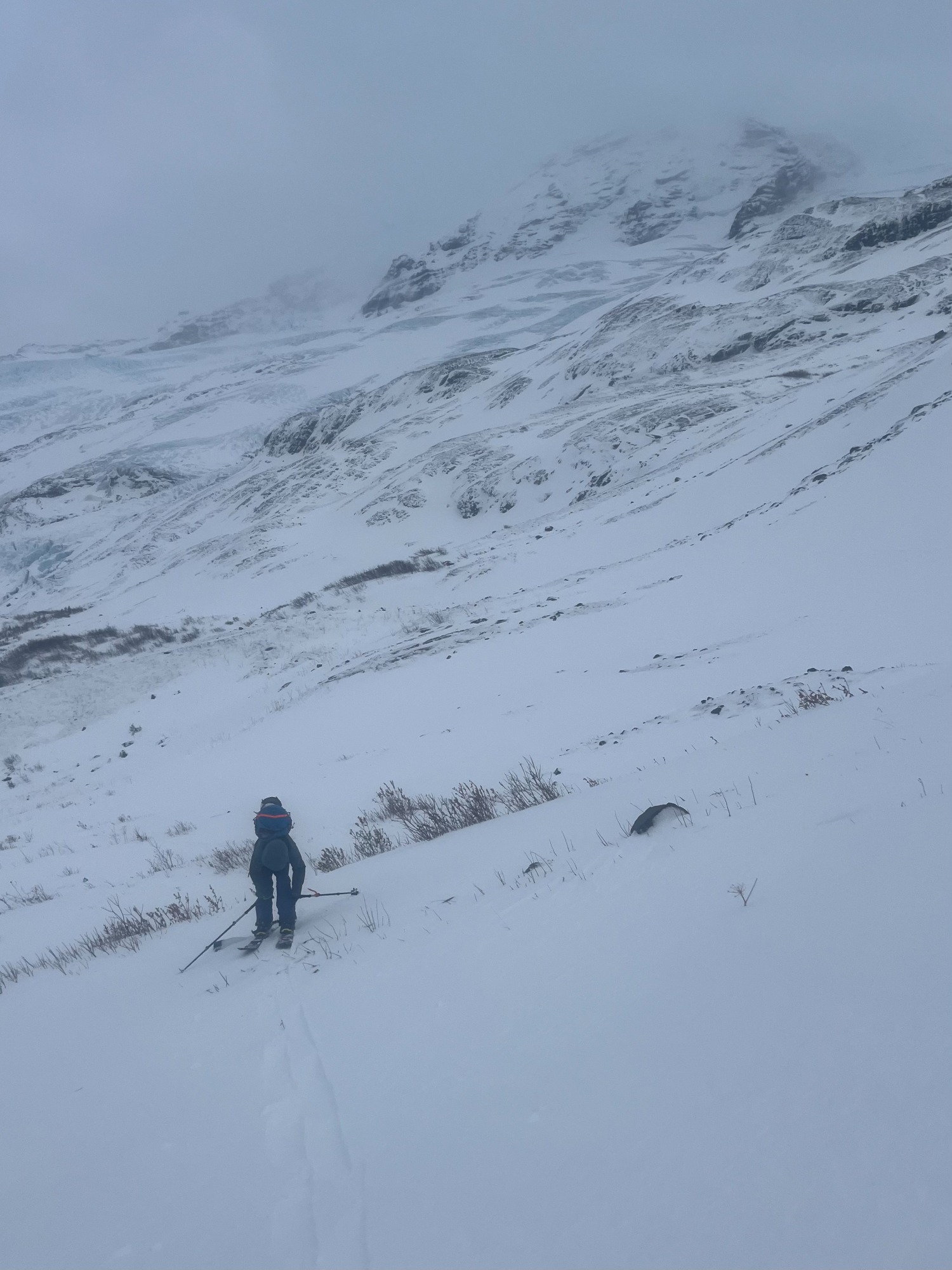
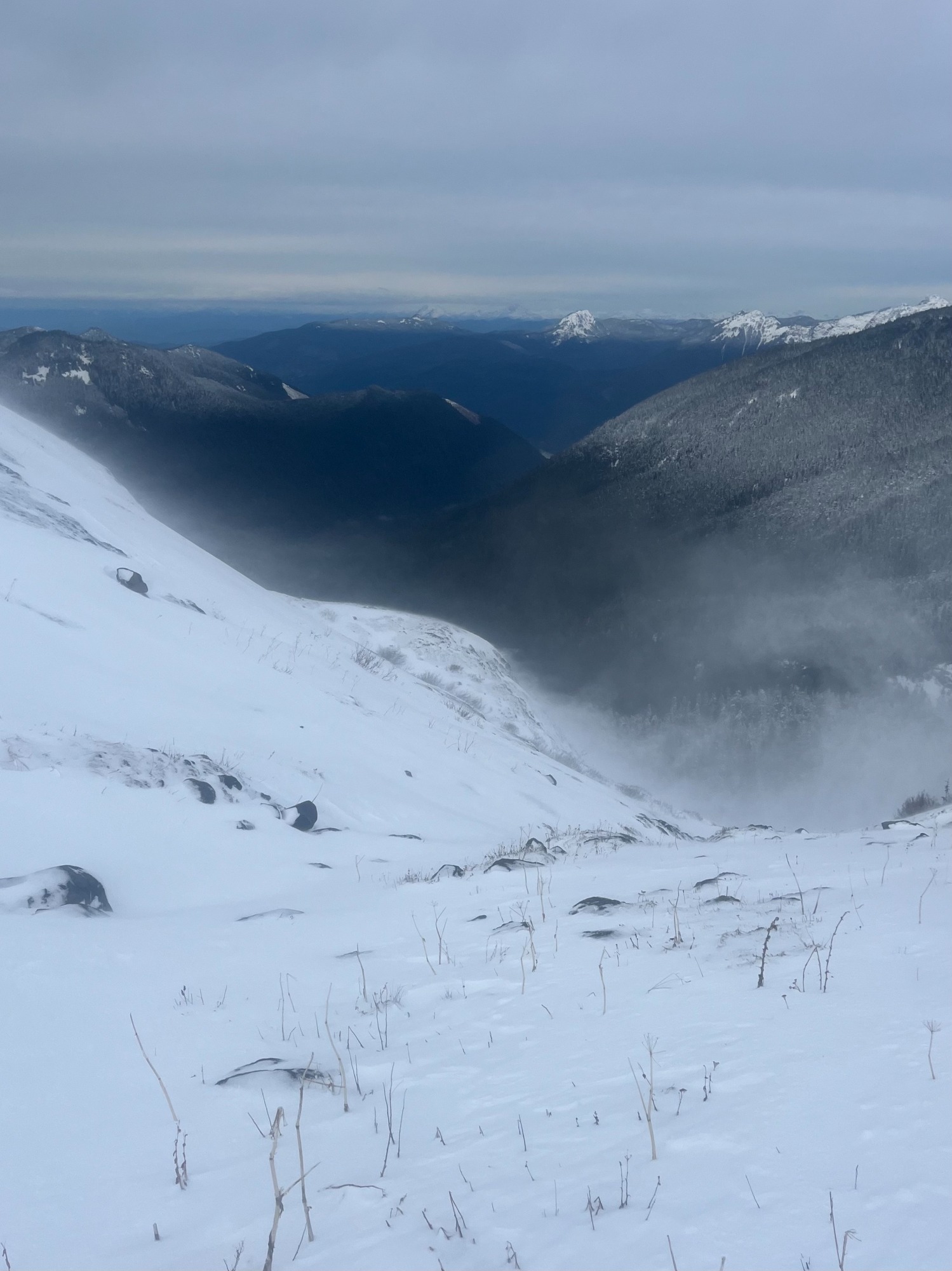
Avalanche hazard was very minimal today as hazards presented by low coverage & the weather posed greater hazard to the day. Notable obs were isolated pockets of developing wind slab (2-5cms thick, 4F+ in hardness) & moderate-strong winds, with strong-extreme gusts. Isolated cracking observed in upper 5cms of snowpack in wind-loaded pockets above 5300'.
Weather
- Cloud Cover
- overcast
- Wind Loading
- moderate
- Rain Elevation
- 4200
- Recent Snowfall
- 0
- Snow Avail For Transport
- large amounts
AM Below 5300': Light SW winds, gusting moderate. No new precip, light blowing snow, boot pen: 32cms in forest openings. Overcast high clouds but good low elevation visibility. AM Above 5300': Moderate SW winds, gusting to strong-extreme. No new precip. Sustained blowing snow, being transported via turbulent suspension. Overcast high clouds with good visibility between wind gusts. PM Below 5300': Light SW winds, gusting moderate. Precip rate: S1 (snowing 1cm/hr). PM Above 5300': Strong winds, gusting to extreme. Precip rate: S1 (snowing 1cm/hr).
Snowpack
Below 5300': 10-35cms of low density (F hardness) new snow sits above the ground. In the PM, the snowpack stiffened due to warming & rain. HS: 10cms at 3700', rapidly increasing to 20-35cms at 4450'. Above 5300': Highly variable surface conditions due to low coverage & wind affect. In wind-loaded pockets, 2-5cms of 4F+ wind slab sit atop the new snow surface. HS highly variable based on wind exposure.