
Quick report
- Cracking
- specific
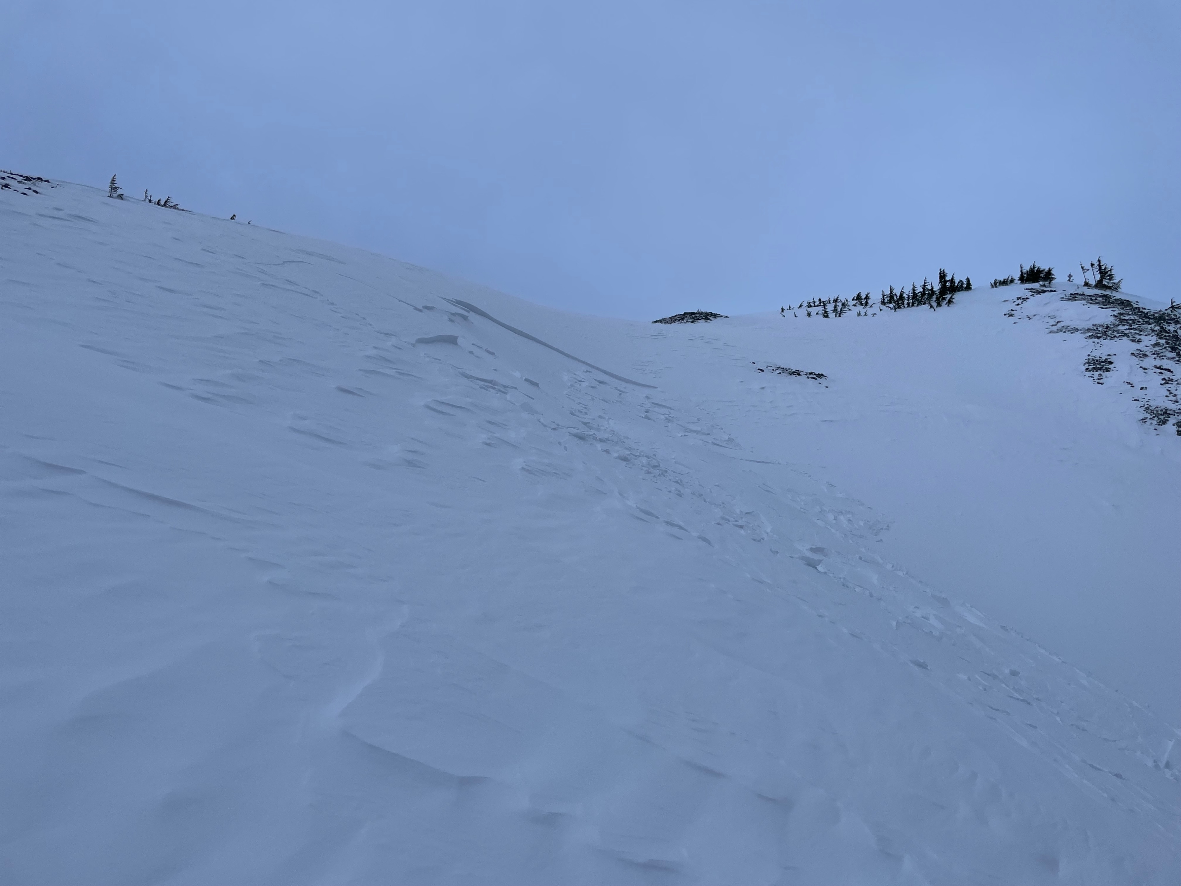
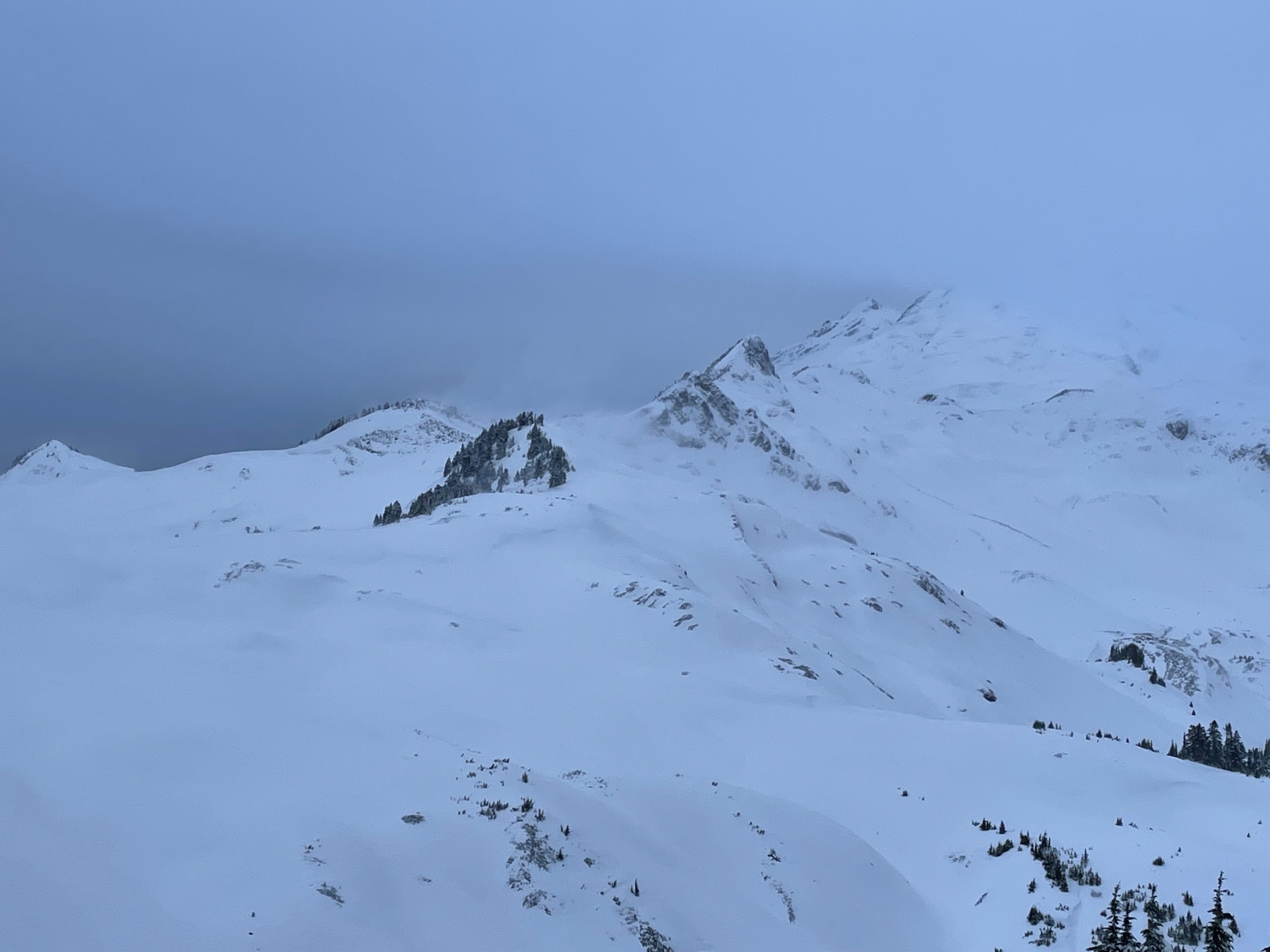
In summary conditions were windier than forecasted and therefore more snow had been redistributed than expected. Fortunately visibility was good enough to see active loading along ridge line and to observe textured and sculpted snow surfaces during our approach. Timing our day to return by 11 am worked well and any delay may have resulted in rugged storm conditions and travel on slopes that became more suspect with new snow and string winds. Numerous unstable slopes existed in leeward loaded features from ENE winds. From cross loaded terrain features and convex rolls at mid slope elevations up to ridge line loading. Drifts cracked and propagated easily beyond ski tips upwards of 6m (19.6') on mostly low angle terrain so displacement did not occur. In 1 instance from a scoured "ridge" we remote triggered a shallow windslab, 20cm x 12m x 8m, 14m away (45') on a NW 35 degree slope. Interface: Dec 6th MFcr (Melt Freeze Crust) or Dec 7/8 precipitation particles (PP's).
Weather
- Cloud Cover
- overcast
- Wind Loading
- intense
- Snow Avail For Transport
- moderate amounts
Cold wind chills and temps had us skinning with all layers and goggles. Can't remember ever being able to skin with goggles and no fogging. Topographic level ESE winds had snow loading in a variety of directions (drainage/ slope scale winds). By 1030 am winds increased to steady strong, gusting to extreme with S-1 snow. (less than 1cm/hr)
Snowpack
Our tour took advantage of an early morning so wind slab size was still small. During our retreat at 1030 am wind slabs had grown from approx 15cm-30cm. In addition sustained moderate winds (20mph) eventually increased to steady strong with strong to extreme/intense gusts. These gusts were strong enough to brace from being blown over. The Dec 6th MFcr was exposed in many areas by the time the front was barreling in.