
Quick report
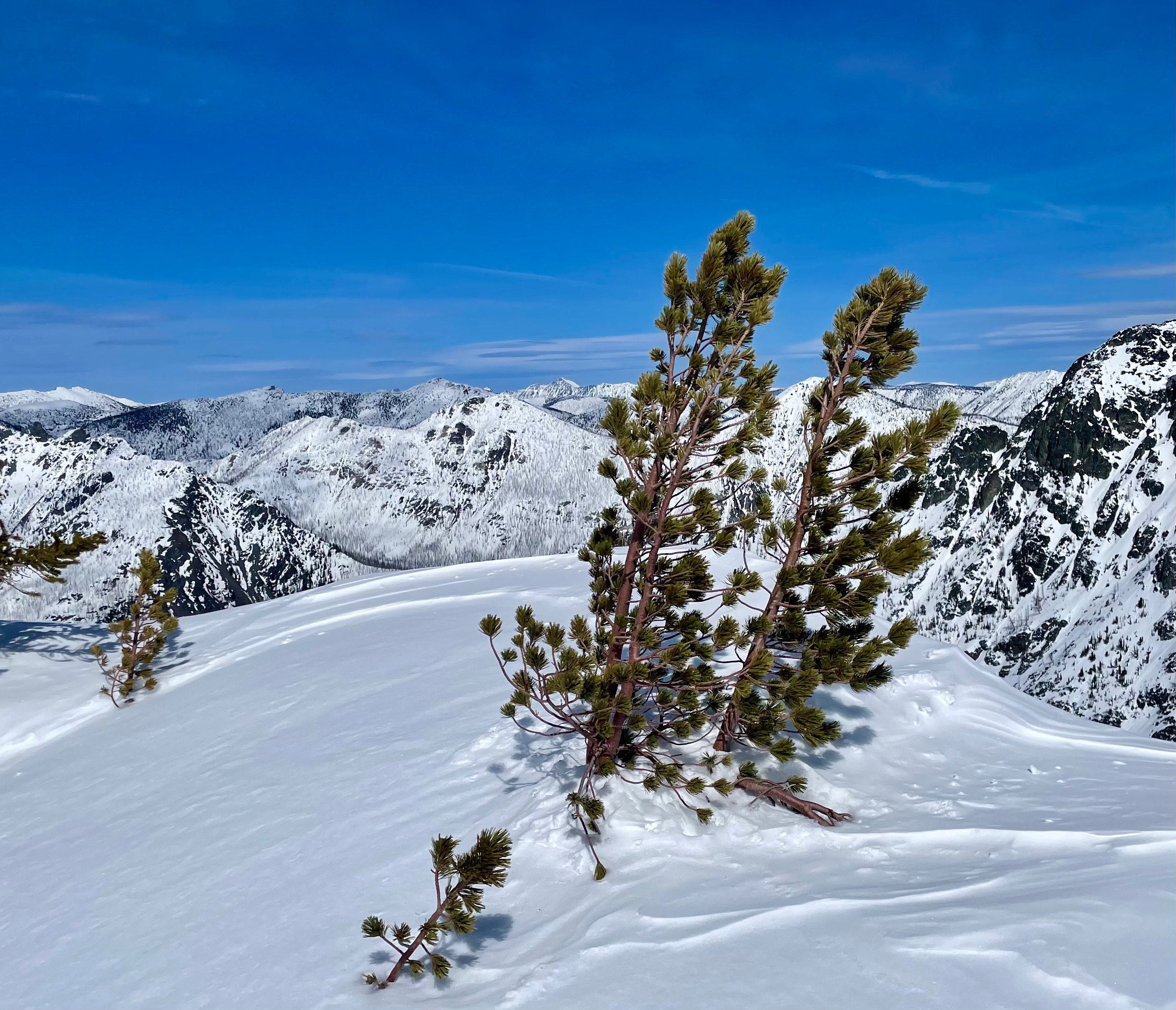
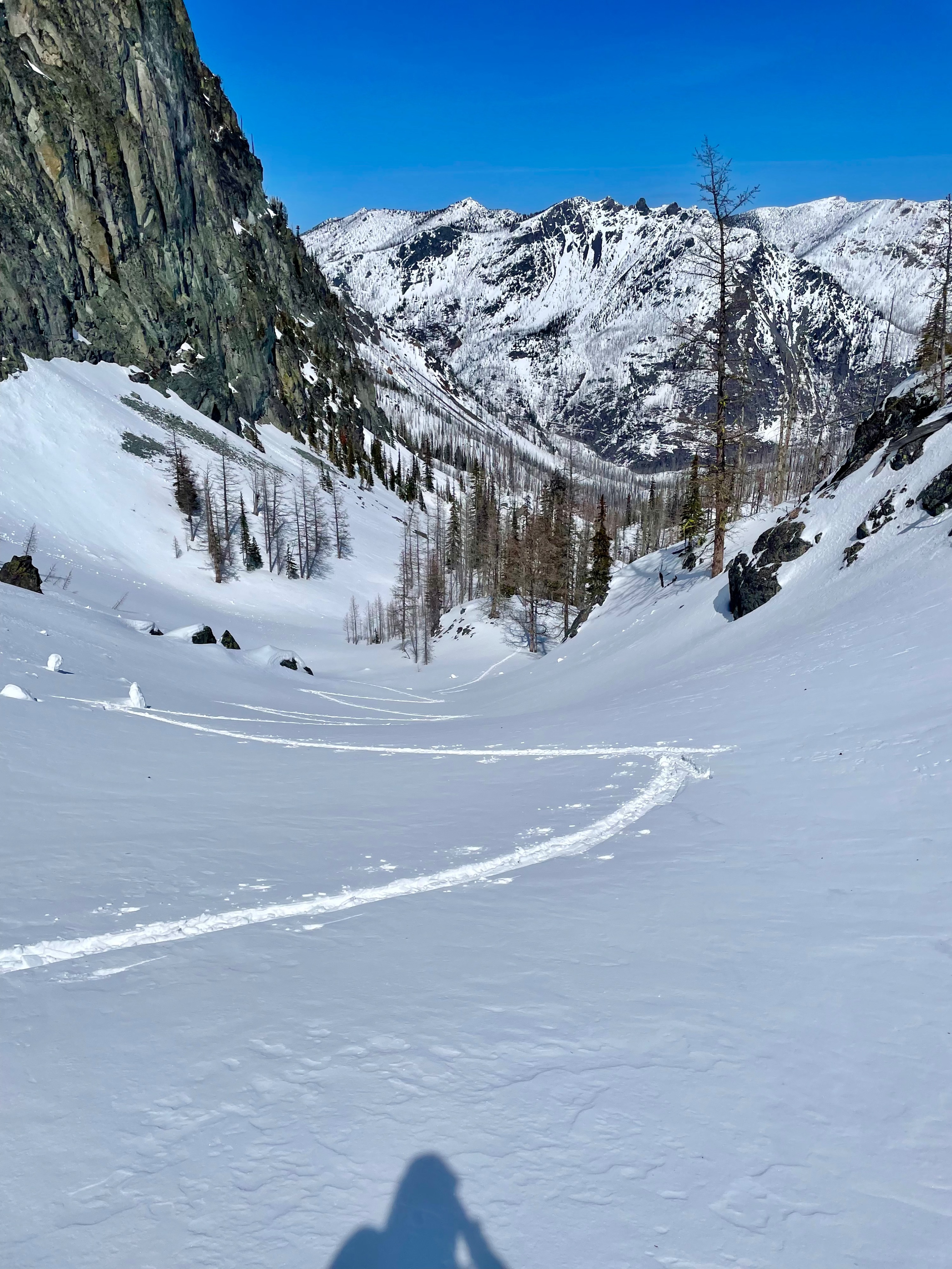
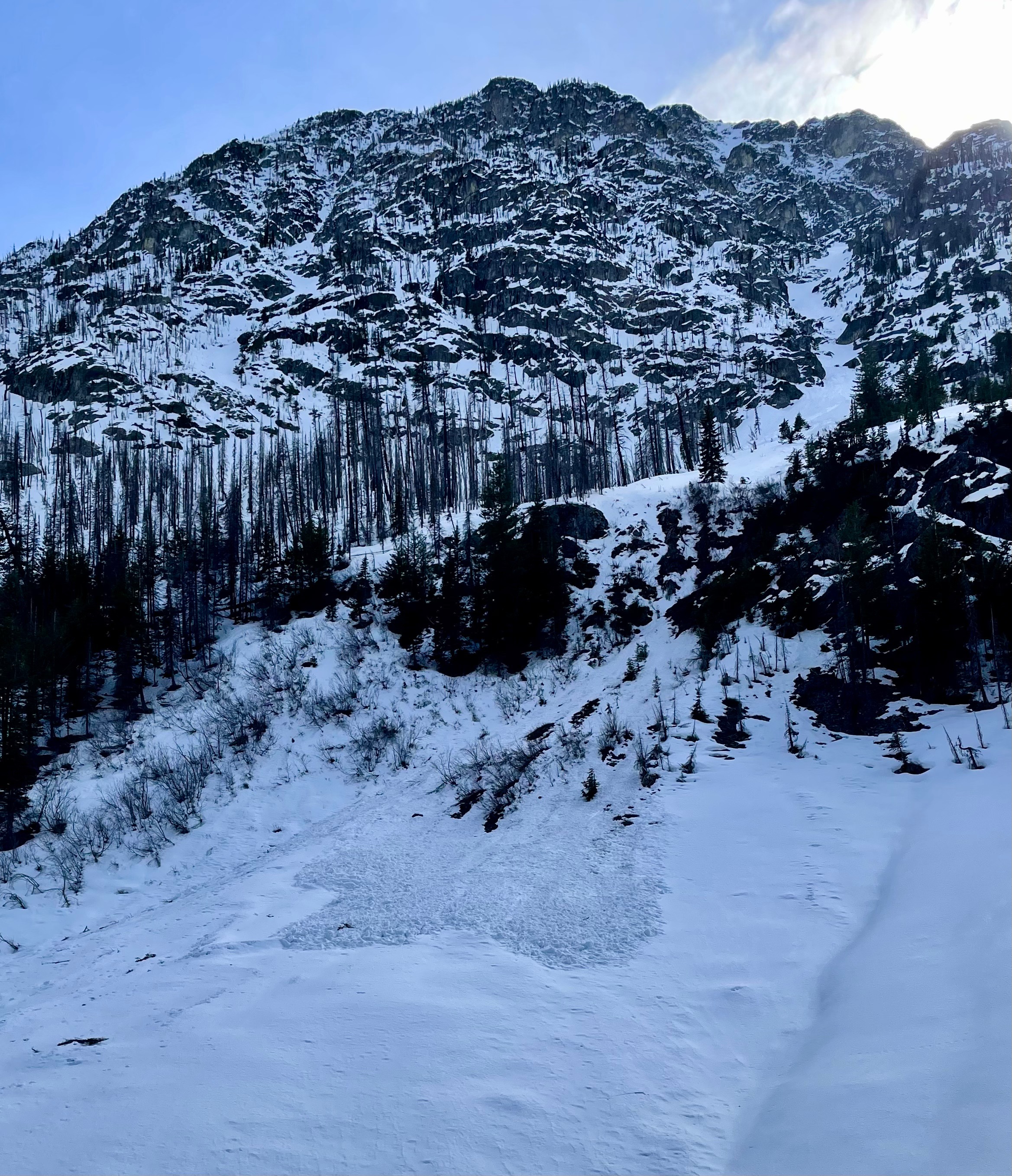
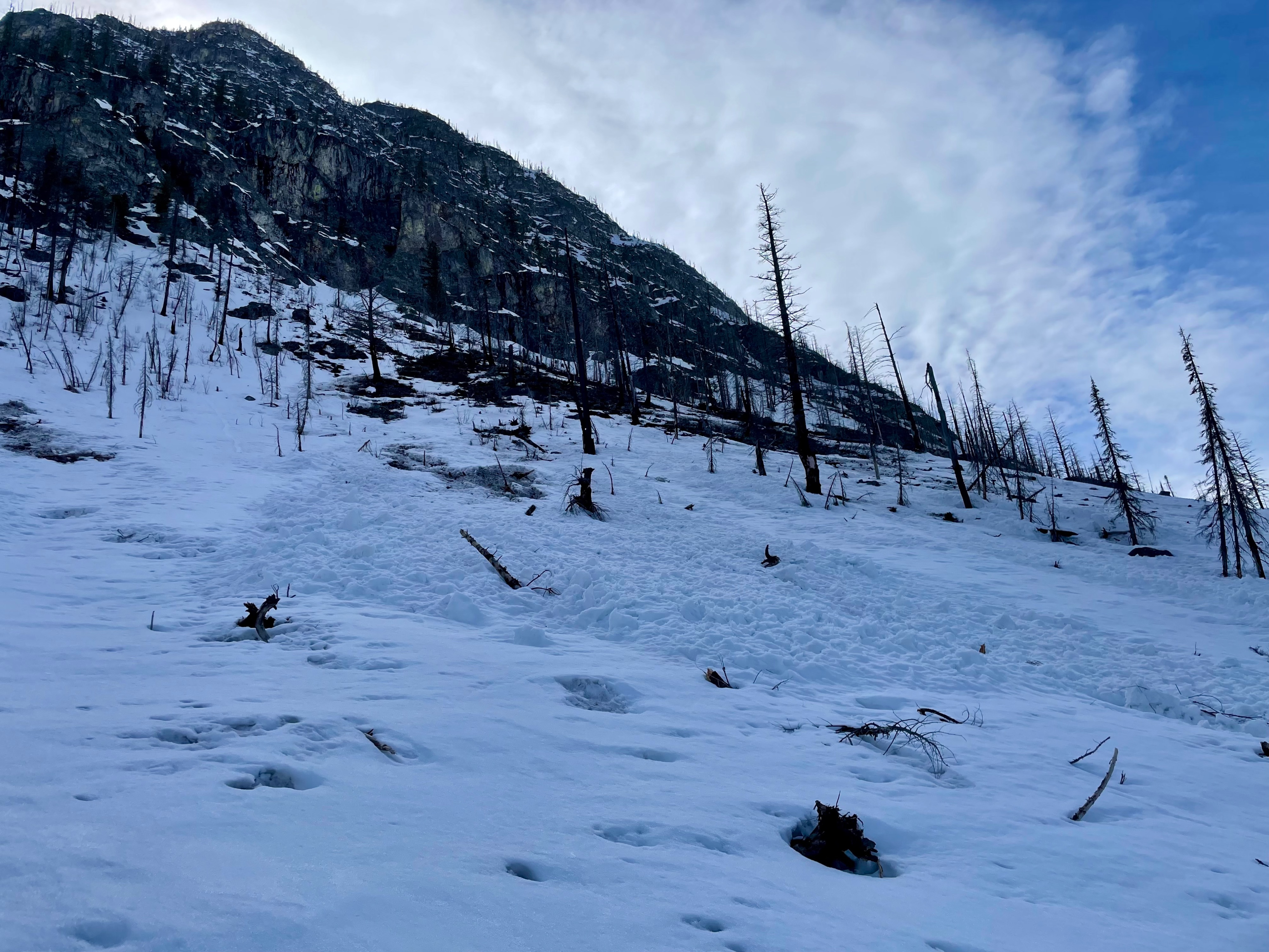
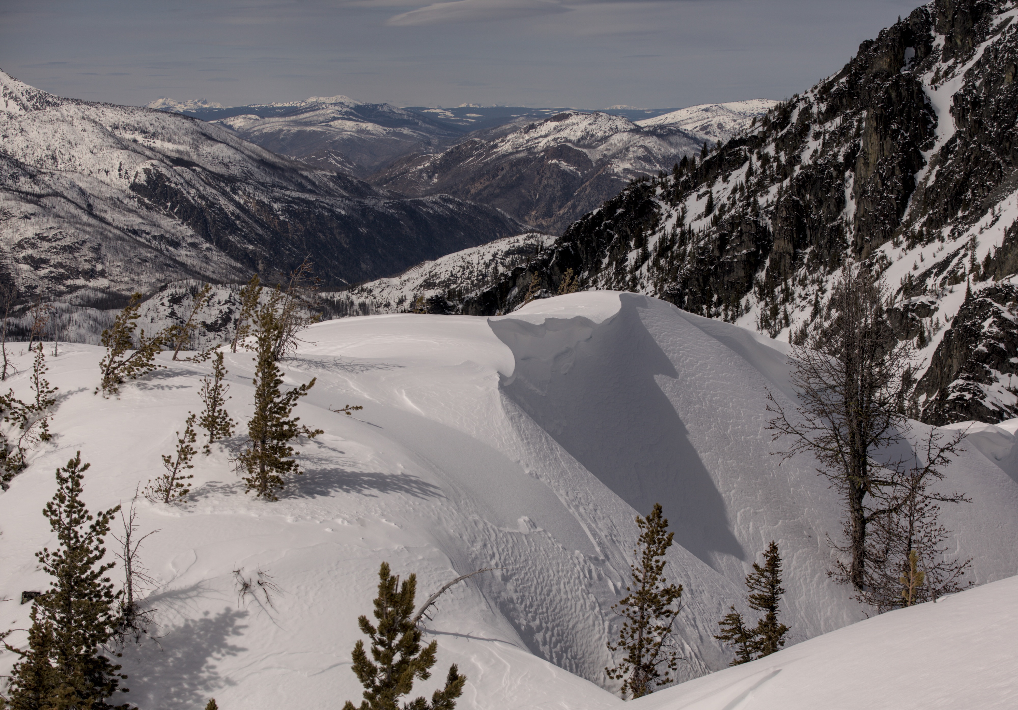
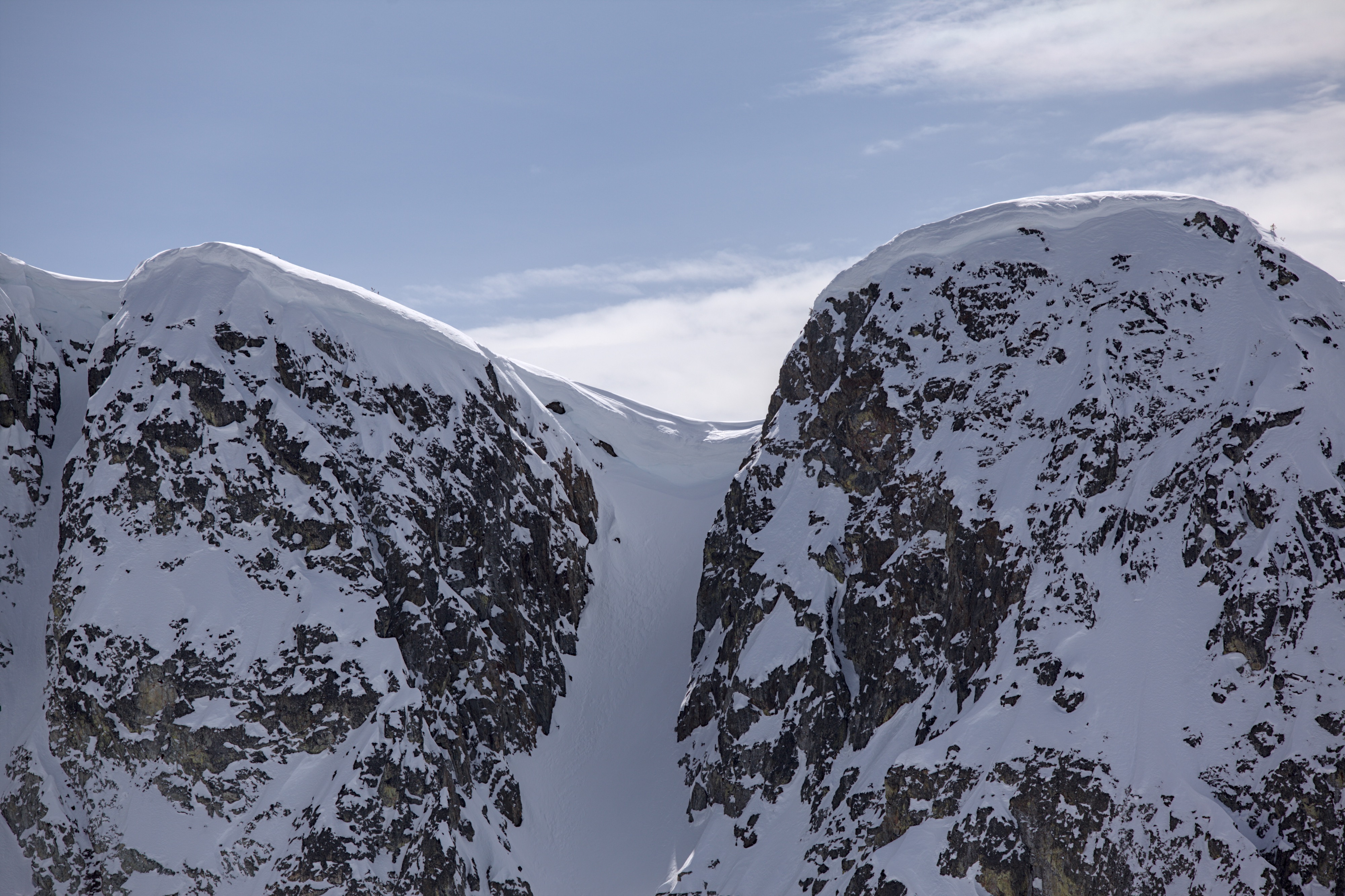
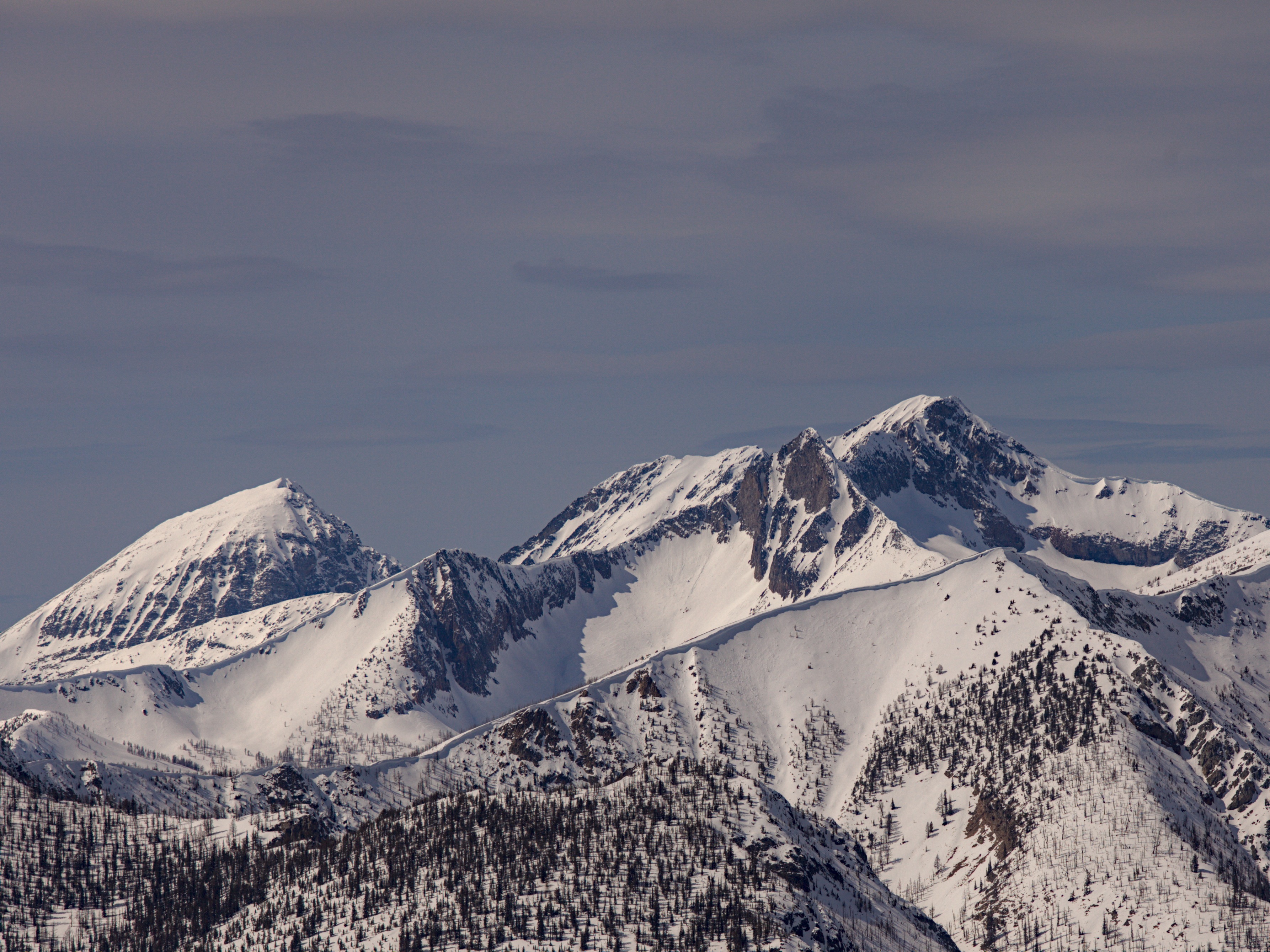
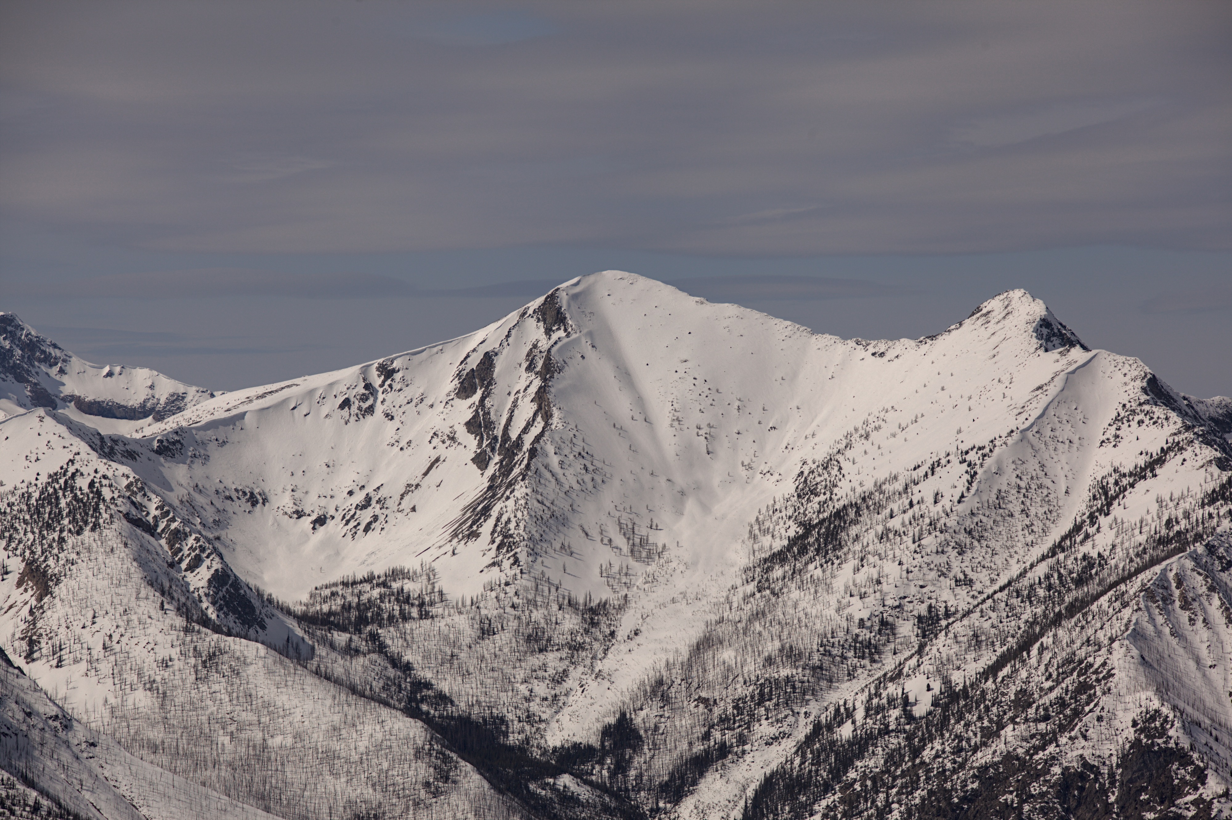
Beautiful sunny day and a great chance to look around. I wouldn't say I recommend the snowmobile up 8 mile right now; its patchy with several logs over the road. There is an impressively deep and cold snowpack at upper elevations in shaded terrain. Larges cornices still hang to ridges above 7000'. I did not observe any red flag signs of instability from the recent wind slab. While the new snow on the Early April Crust could pop free in shear tests, the snow wouldn't hold together as a slab. Lower elevations have been shedding wet loose avalanches during the recent warm ups. Two of these debris piles appear to be form the last two days.
There were nemerous signs of old wet avalanches. Two wet debris piles near 5000' appear to have been from the last 48 hours.Weather
- Cloud Cover
- few
- Recent Snowfall
- 10
- Snow Avail For Transport
- small smounts
Mostly clear and sunny, light to moderate west winds
Snowpack
The snowpack ranges from a dense melt-freeze snowpack down low to a cold and dry winter snowpack up high. Slopes below 4500' have very little or no snow. From 5000' up to about 6500' the snowpack has a melt-freeze crust which skis well when a little wetted. Depending on aspect and elevation the thickness of the crust varries a lot. On shaded slopes especially above 7000' there is still a cold winter snowpack. Here 6-8" of soft snow sits above the Early April Crust. More wind affected areas have hard wind buffed surface.
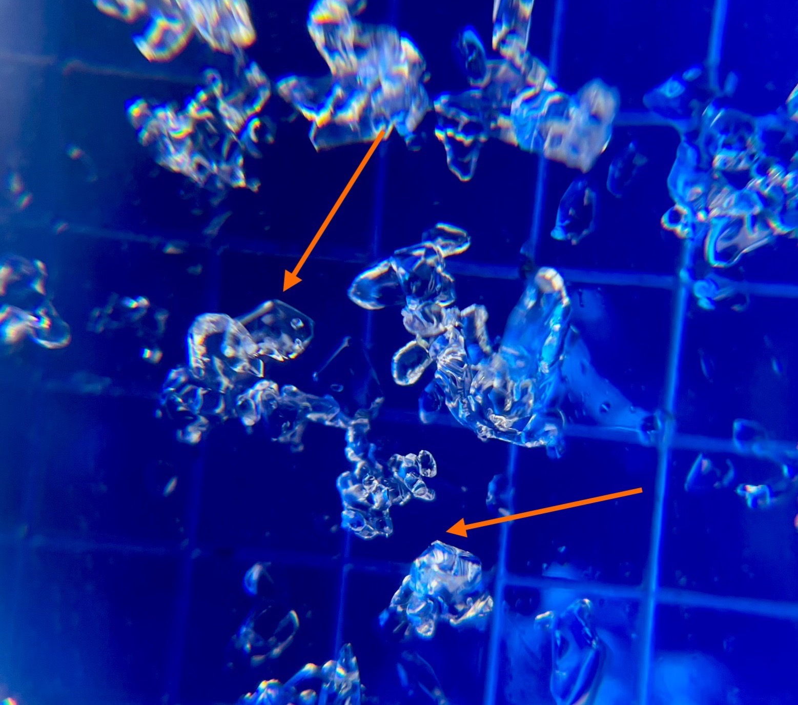
Deeper in the snowpack, I'm still finding somewhat facetted crystals above and in the Early February Crust. I had a sudden planar result in a deep tap test on the EFC after hard hits. This interface isn't a current problem. Depending on how rapidly things warm up in the weeks to come, it's possible that wet slabs could fail here later on.