
Quick report
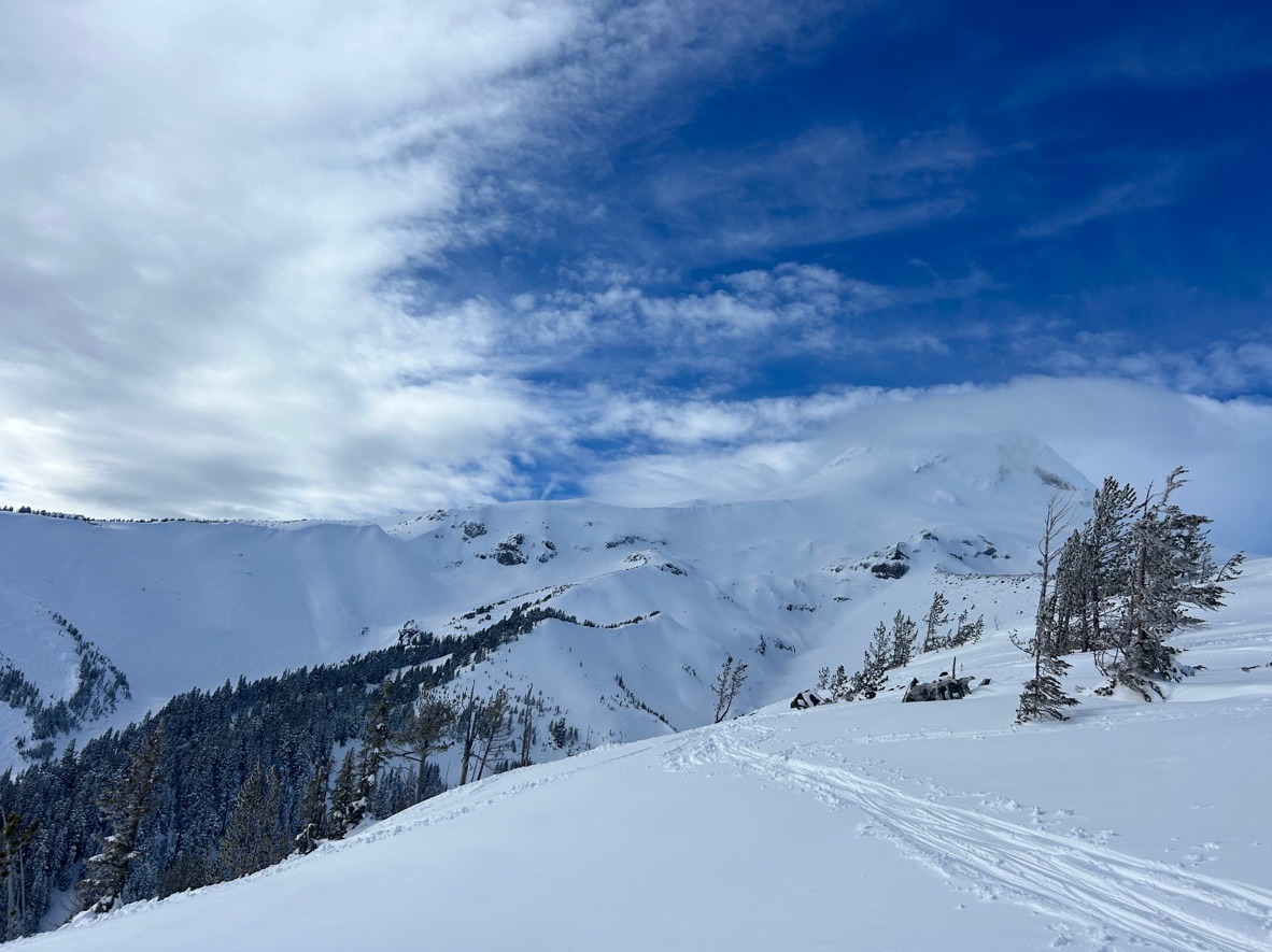
It felt warm and soggy out there today despite a couple inches of fresh snow during the morning hours. North and east aspects are generally staying dry. Deeper layers of concern produced unremarkable test results. We'll continue to track our layered upper snowpack moving forward.
Weather
- Air Temp
- 30
- Cloud Cover
- overcast
- Wind Loading
- light
- Rain Elevation
- 4000 ft
- Recent Snowfall
- 5 cm
- Snow Avail For Transport
- moderate amounts
Snowpack
We toured multiple aspects and elevations today in the Pea Gravel and Heather Canyon areas.
- S-W-SE aspects have a crust from the warm-up on 2/18. North and east aspects generally stayed cold and dry.
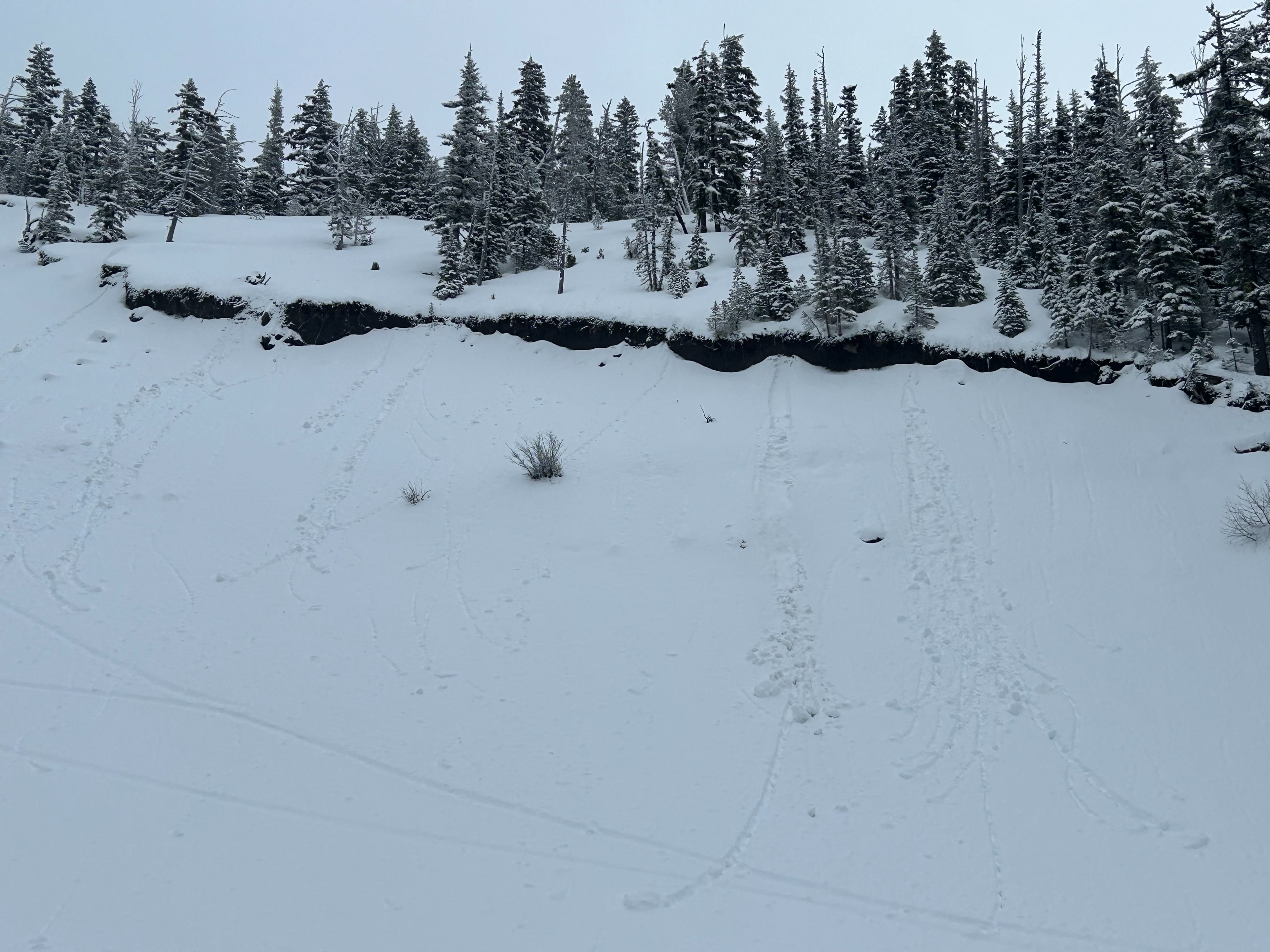
- Wind slabs appeared stubborn on test slopes below 6500 ft, but wind affected snow was widespread above this elevation.
- The upper snowpack was moist at lower elevations due to the recent warm temperatures. We saw evidence of older wet loose avalanches but didn't see any fresh ones - mainly some rollerballs.
- The upper snowpack is well bonded to the Early February Crust. However, the only notable test result we received was on an ECTP 22 on a layer of preserved stellars, 50 cm below the snow surface, on a NE aspect @ 6000 ft. This layer has produced inconsistent test results across the zone but appears to be gaining strength with time.
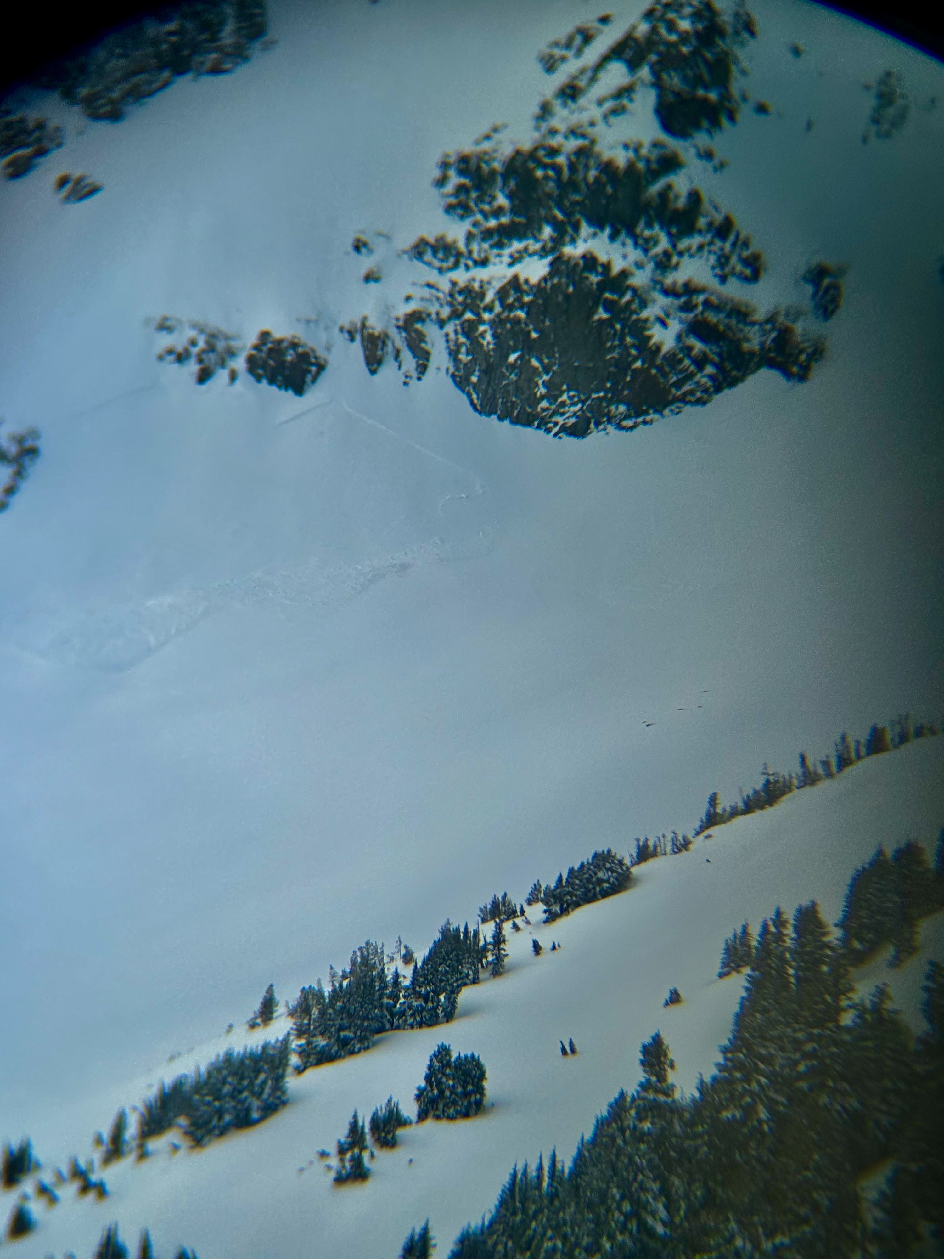
Avalanche
- Size
- D2 R2
- Type
- HS
- Aspect
- E
- Trigger
- AA
- Elevation
- 7000 ft