
GTSR - Road Camp
Quick report
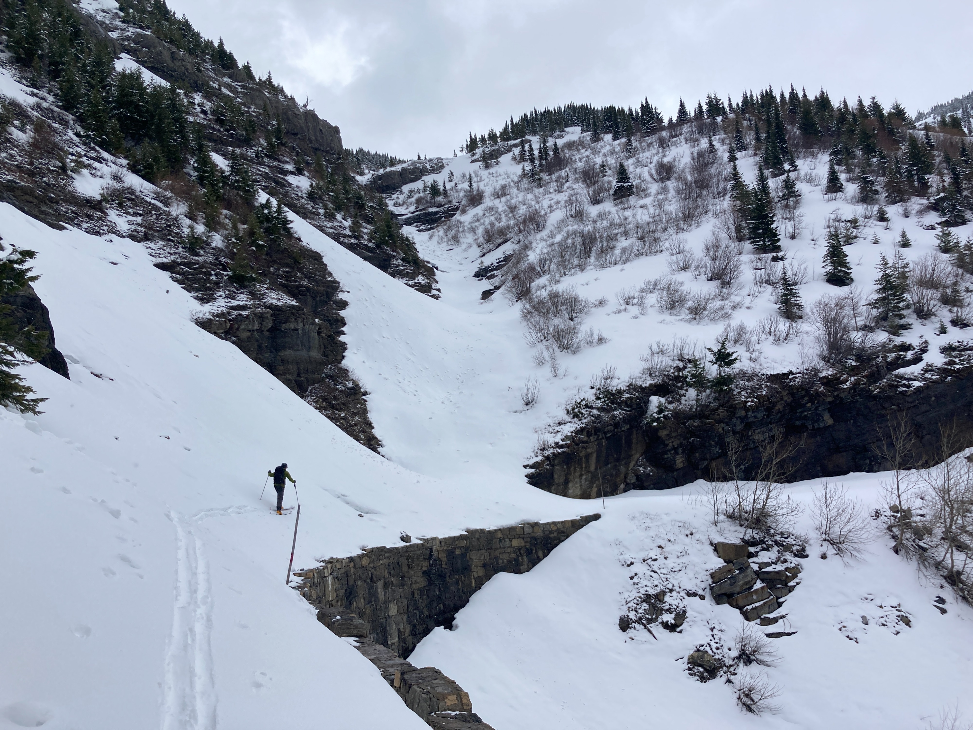
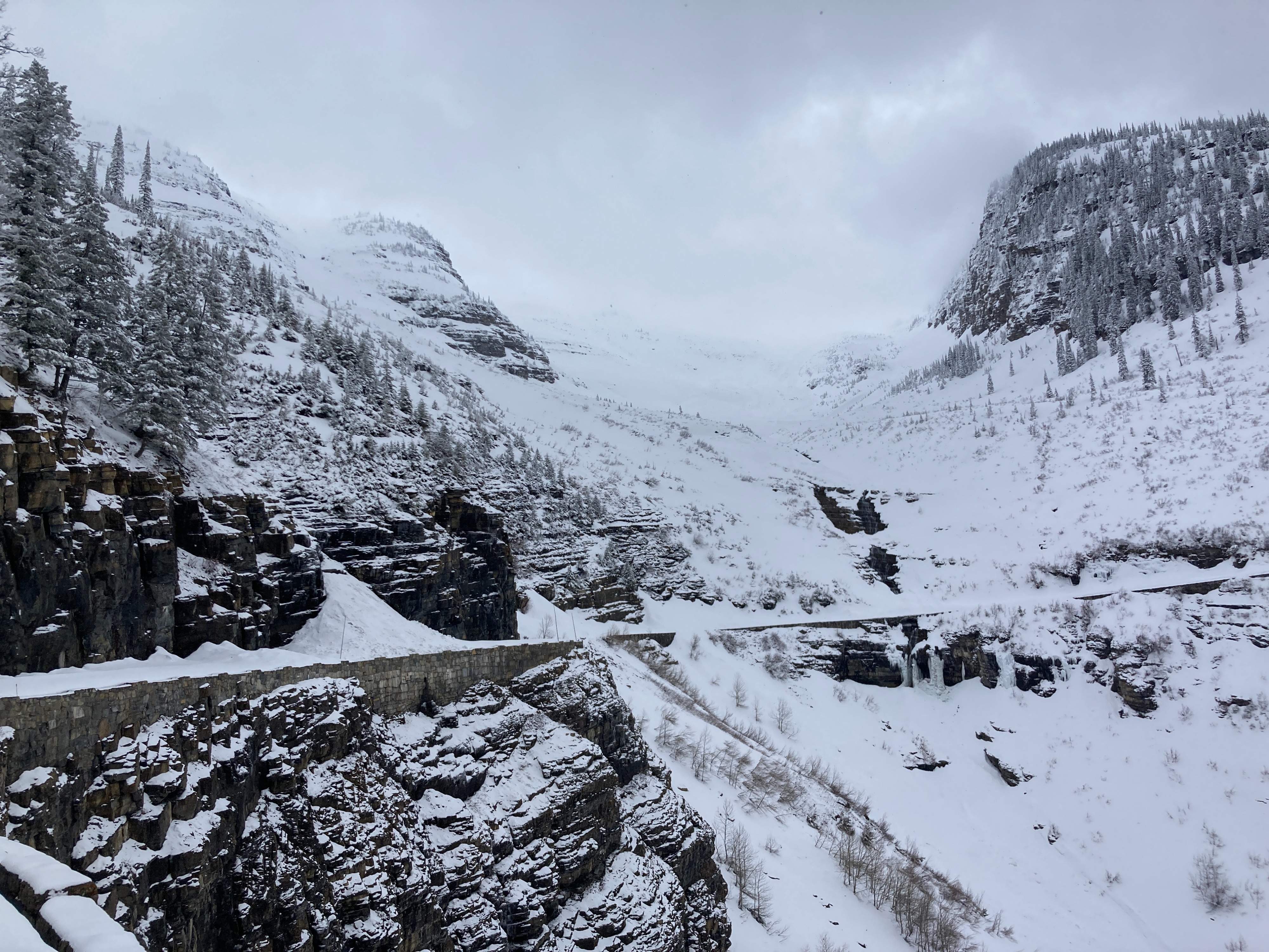
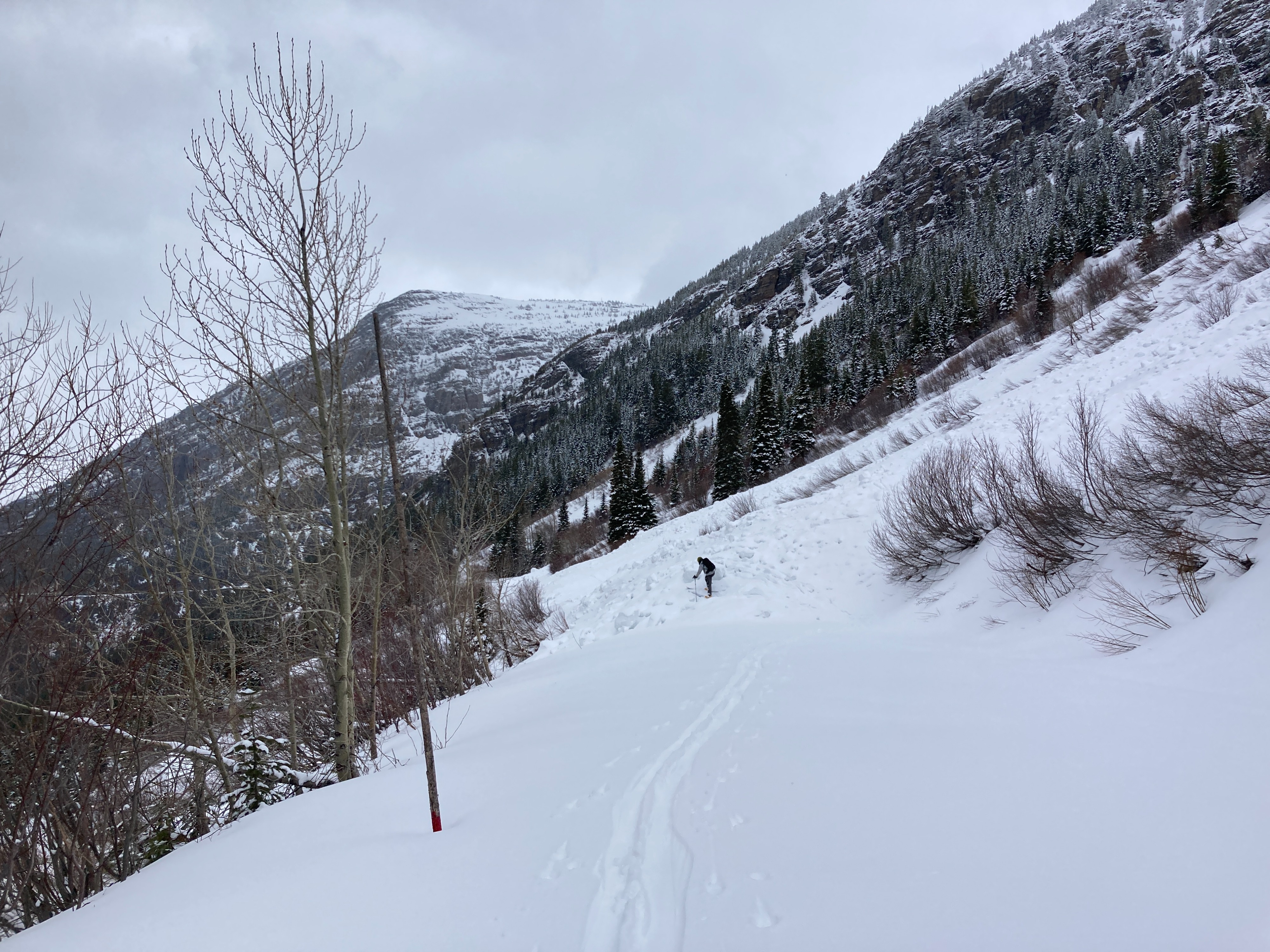
We observed thin snow cover along the GTSR corridor and generally stable conditions during our walk to Road Camp and back. The deepest snow we found was in the (relatively) small remnant mid-winter debris piles along the road. Saw evidence of older avalanches, with the most recent we estimate to have released Saturday during the warm precipitation (HS-N-D2.5-R2). This avalanche had a 1+m crown that had partially blown back in with weekend snow and was located in main Haystack (crown @6800' on a West aspect and ran ~2000'). No other signs of instability observed today.
Weather
- Air Temp
- 28
- Cloud Cover
- broken
- Wind Loading
- previous
- Rain Elevation
- 4400'
- Recent Snowfall
- 10
- Snow Avail For Transport
- small smounts
Light winds and a couple of brief flurries of rimed snowfall throughout the day with generally stable temperatures just below freezing.
Snowpack
We found 10+cm of new settled snow on top of the moist and supportable older snow surface. Observed a subtly wind-affected snow surface on exposed ridgelines but did not see or find any specific wind slabs formed. We dug a quick pit at 6075' on a 35* S aspect with layers of concern primarily being moist or wet weak grains just below recent crusts: - HS175cm - ECTN24@147 x3 and CTM18@ 147cm SC on 4F wet polycrystals below the recent nearly refrozen snow surface - April 5 crust @156cm - 6cm thick and P- hard - Equinox crust @ 112cm - 7cm thick and P- hard (with 1F weak moist grains just below) - No clear evidence of Feb 3rd crust - too wet? - Aside from surface new snow, the remainder of the snowpack was moist or wet