
Quick report
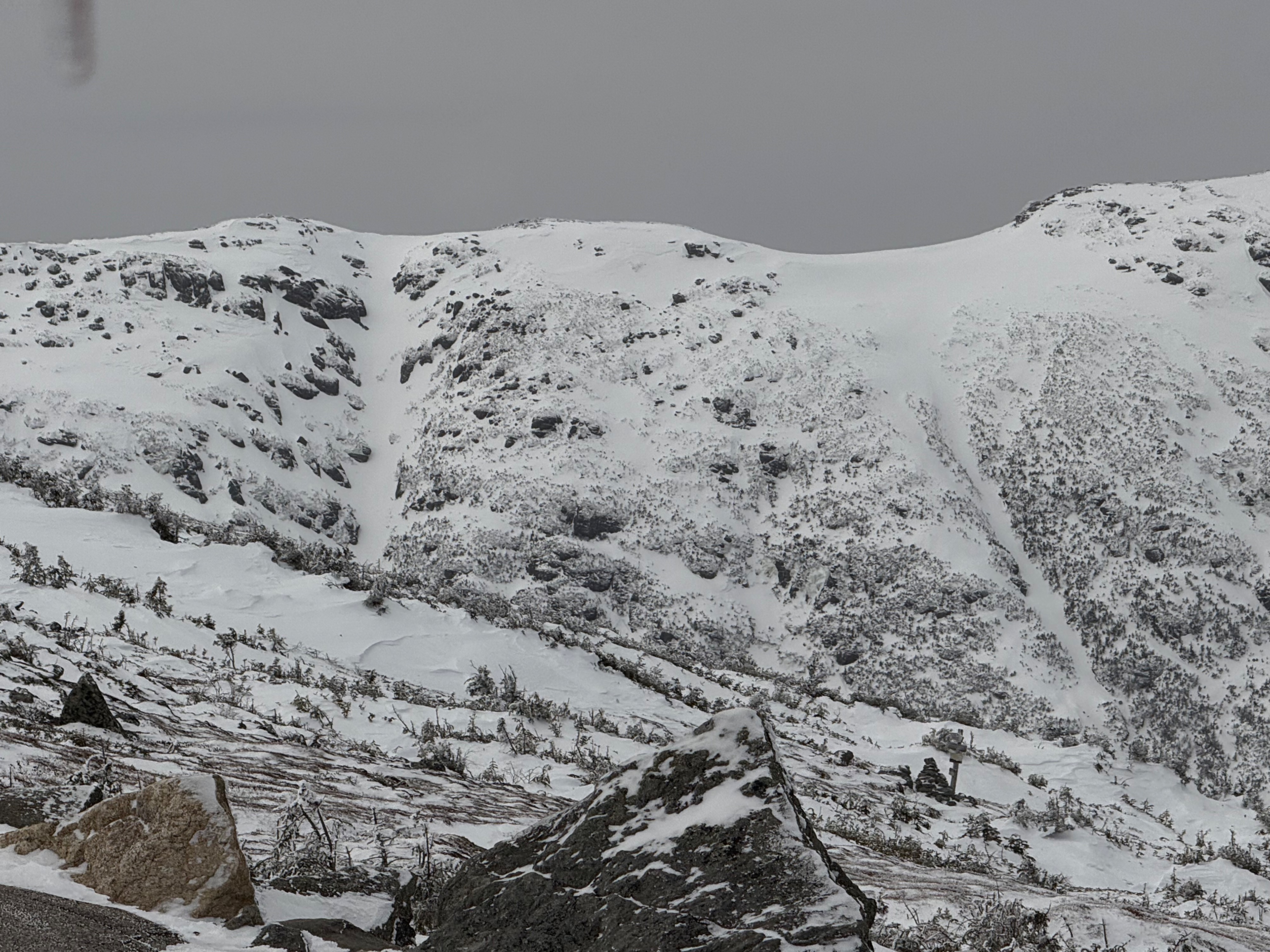
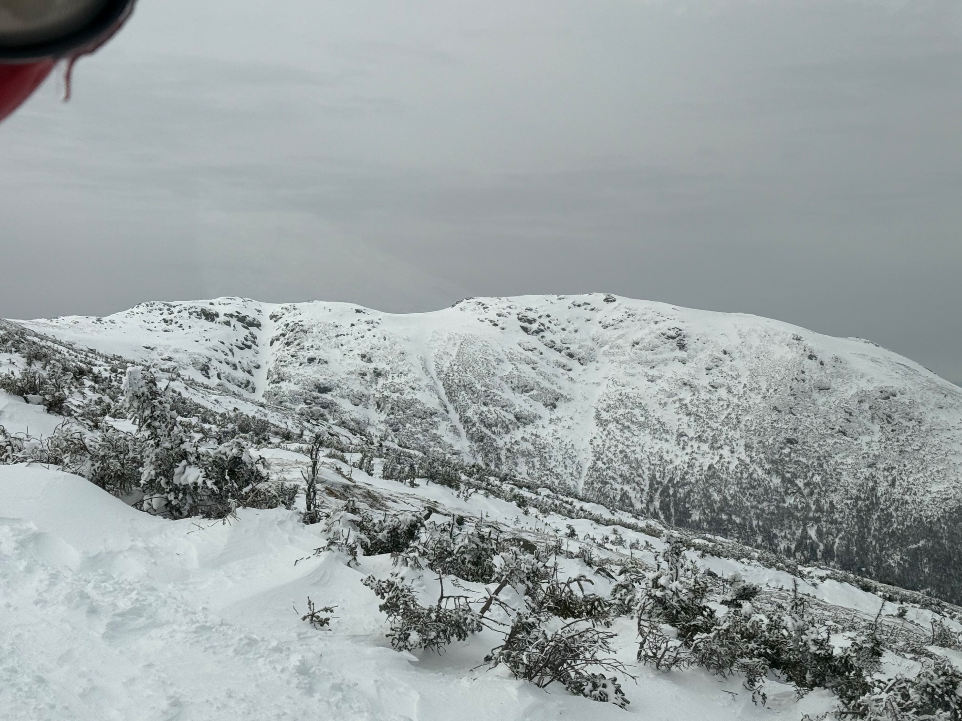
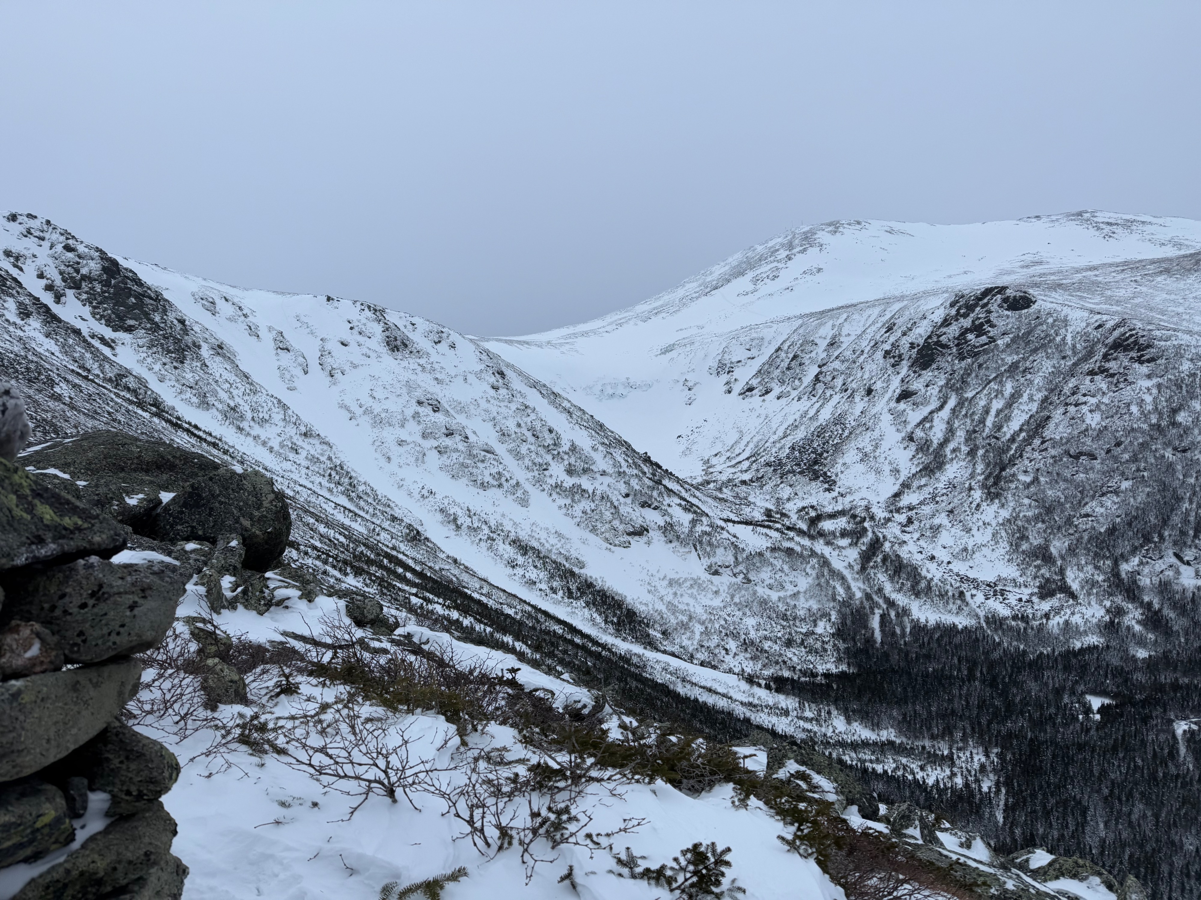
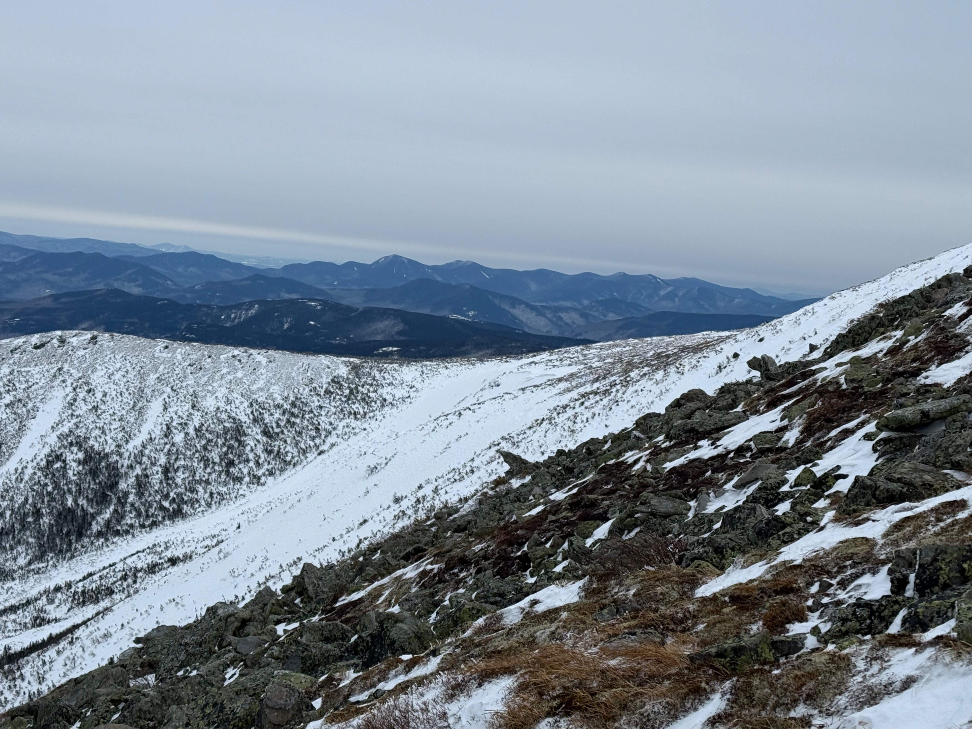
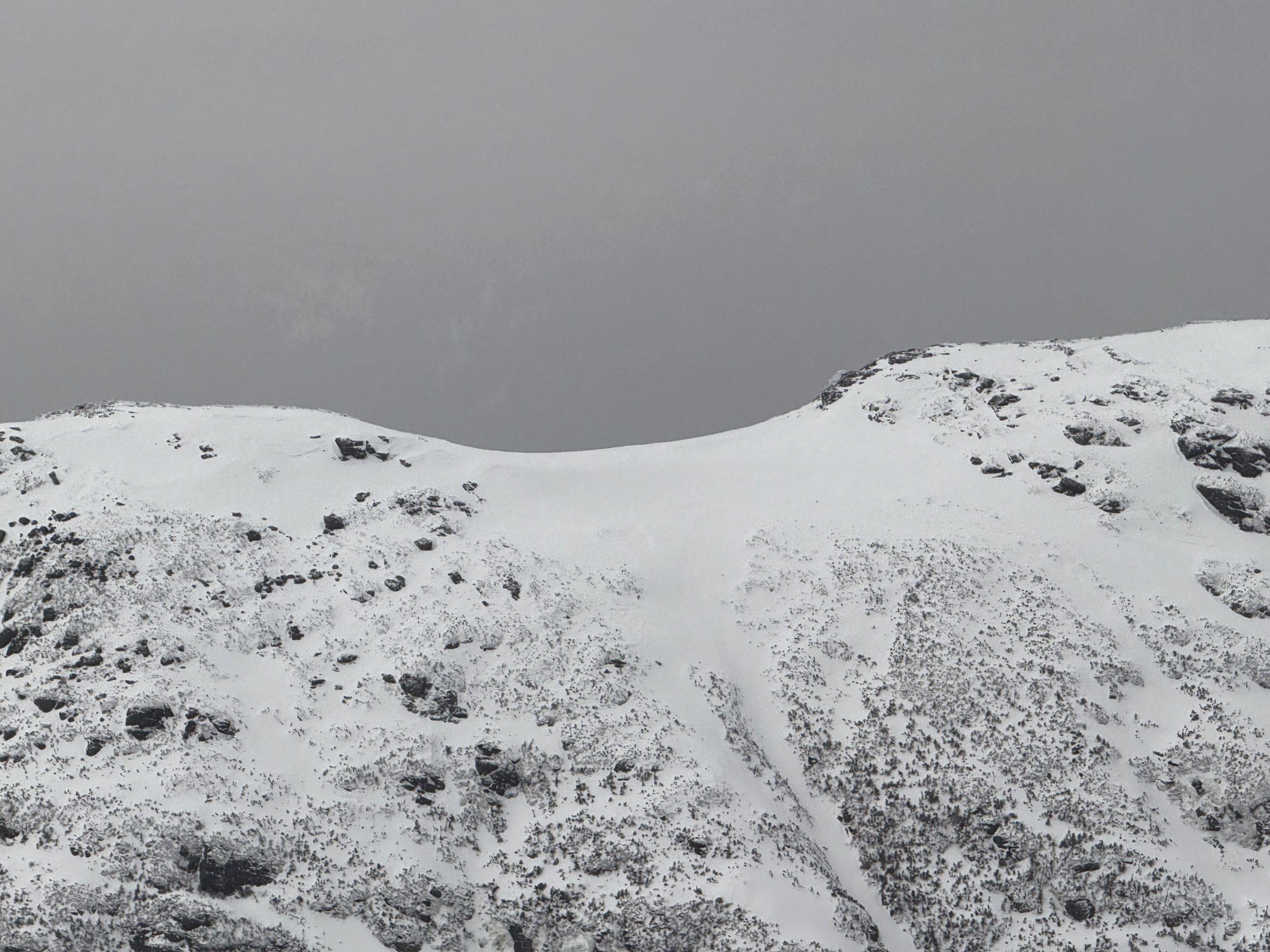
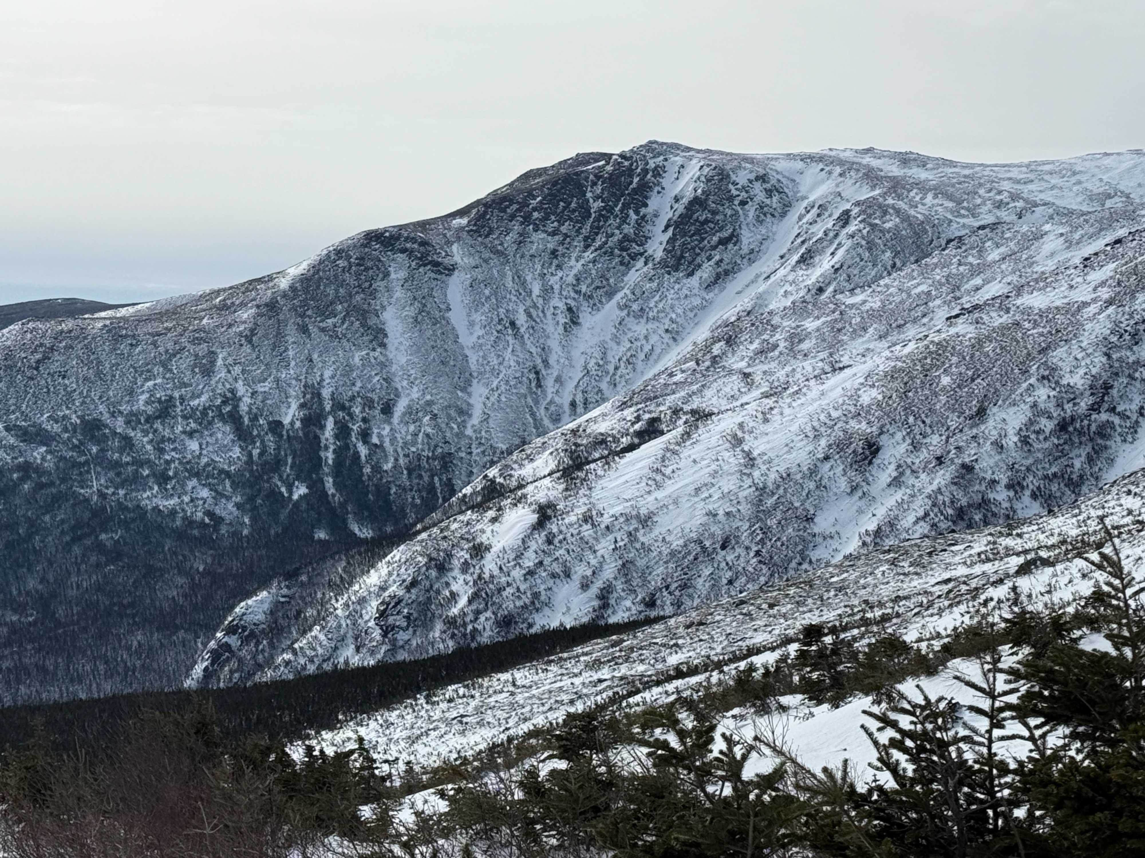
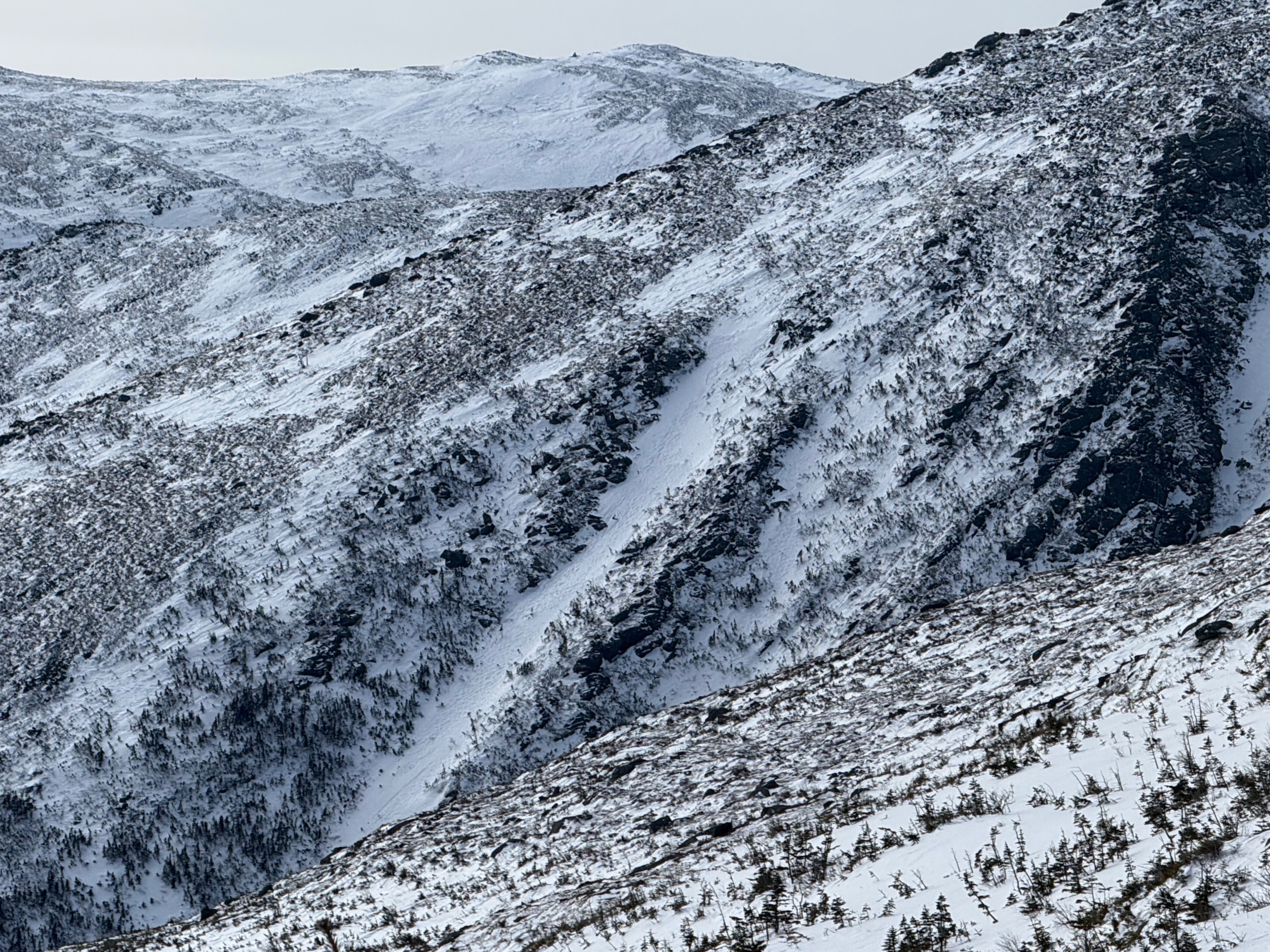
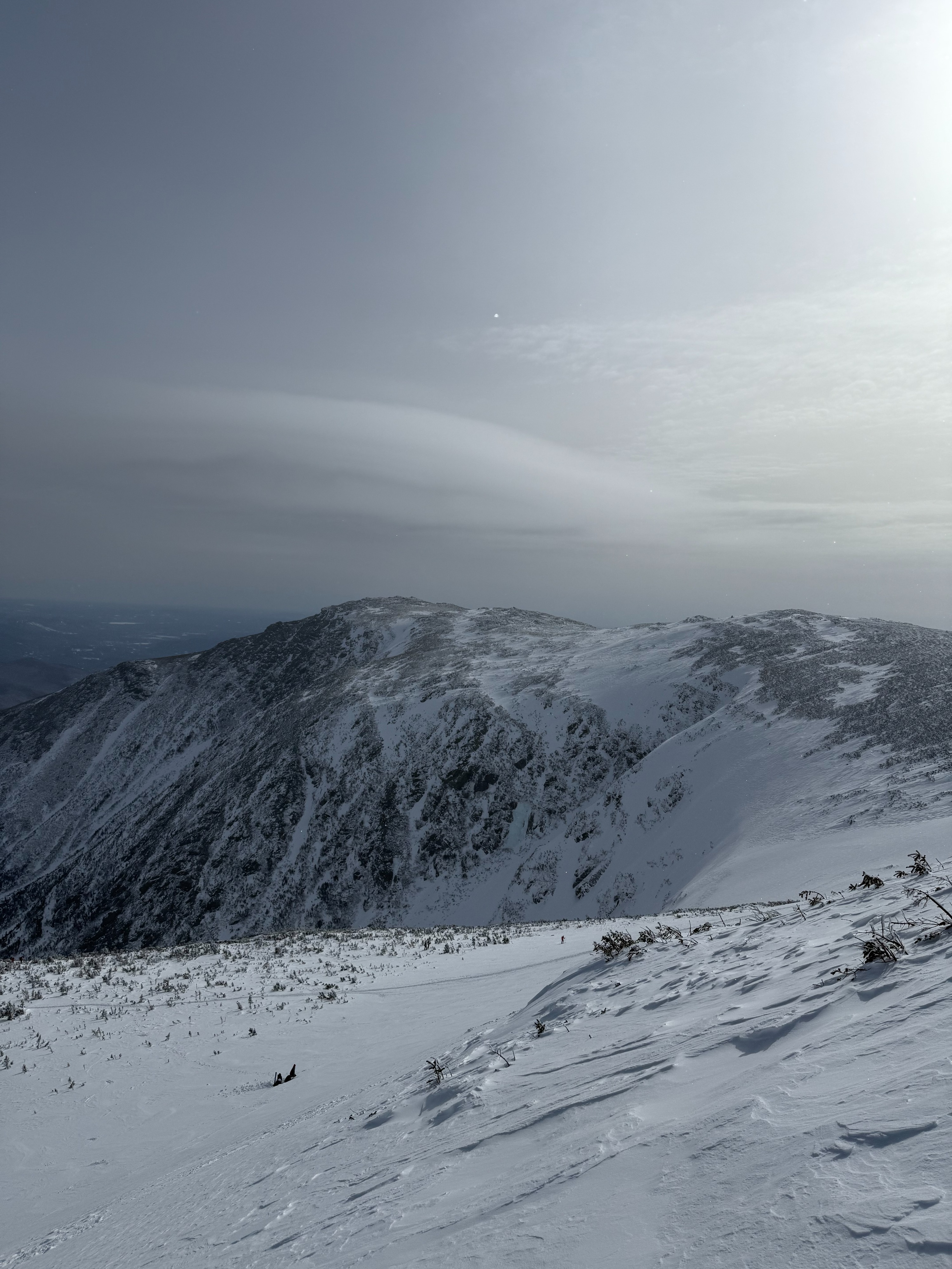
Today our primary focus was on assessing the Summit Cone snowpack confirming the absence of a PWL.We dug two pits; one in the East Snowfields, and the other in the Southeast Snowfields. Both had similar structure, with the pit in the Southeast Snowfields having firmer structure, but had different ECT results, indicating variability between slopes. Both results indicated stubborn snow in the Snowfields, and did not show the presence of the PWL. Visual obs of the Great Gulf appeared to be connected paths of smooth snow surfaces that we speculated were firm, which was based on traveling on similar surfaces in tux. Above Tuckerman Ravine, surfaces appeared smooth and stiff, with a firm bed surface and the absence of an avalanche problem. In Gulf of Slides, we found soft snowpack that felt hollow with an upside down strucutre. To avoid the soft wind slab in Gulf of Slides, we traversed back to link spur and down to HL.
Weather
- Cloud Cover
- overcast
- Recent Snowfall
- 4 cm
The day started in the clear with good visibility. By the time we were digging below East Snowfields, there was increased cloud cover (broken overcast- 5/8). As we crossed above tux, sky became fully overcast (8/8). Temperatures remained at and above seasonal average, increasing through the day, and winds were light out of the west.
Snowpack
Summit Cone:
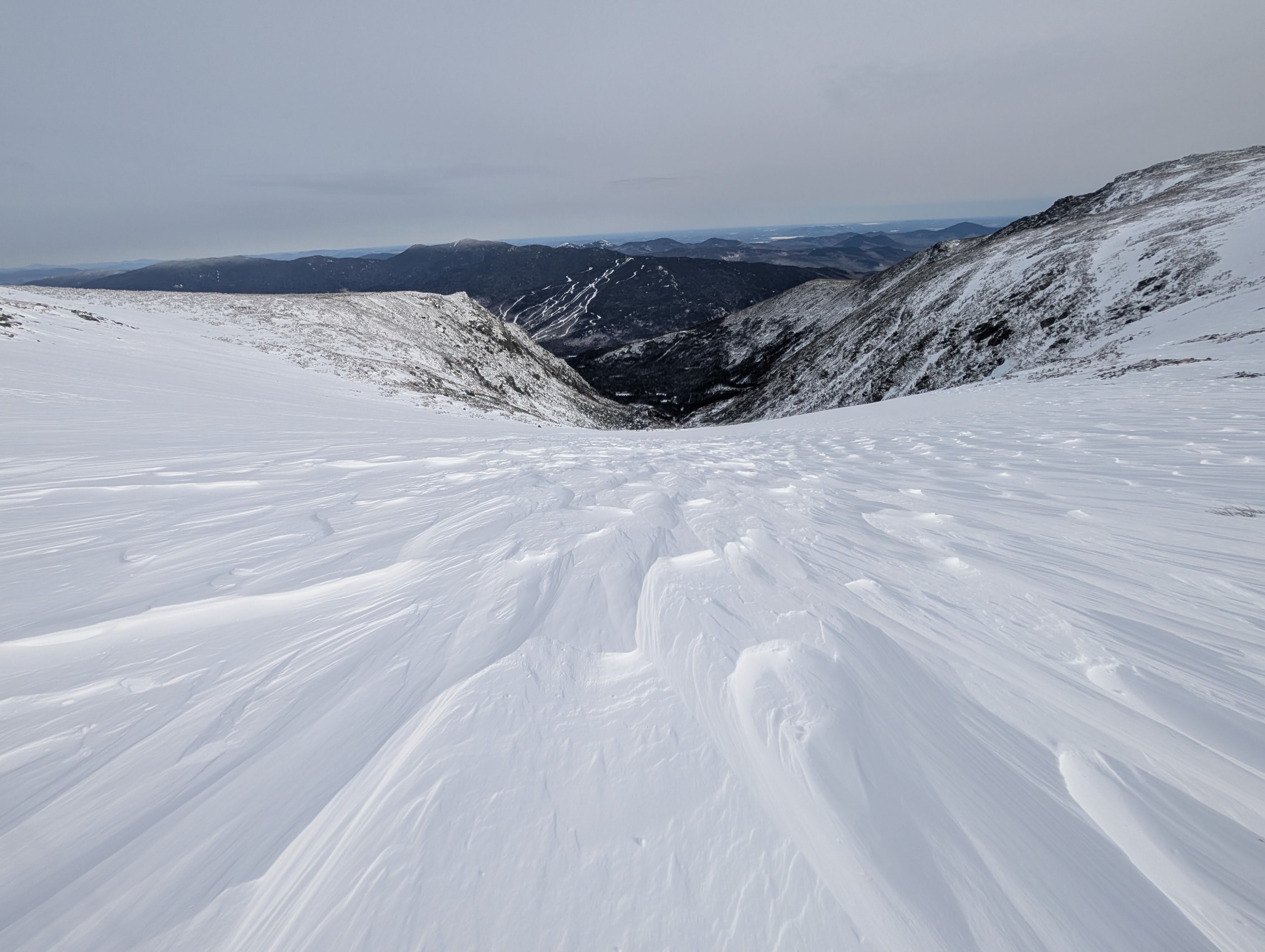
Above the East Snowfields, the ground was fully scoured to rock, with small patches of sheltered snow or ice. At the top of the Eastern Snowfields on skiers right, there were areas of riming that made the snow surface similar to that of a washboard. However, the center of the fields still had a layer of soft wind blown snow, with a harder wind slab underneath. In the East and Southeast Snowfields, we dug two pits, at around 5600ft and 30 degree slope; one at E aspect ( in the East Snowfield), and the other SE (in the Southeast Snowfield). The E pit had 3 layers of hardpack wind slab that went deep into the snowpack and a thin soft snow surface. The lower two slabs were only differentiated slightly from each other based on handhardness. Between the upper and middle slabs, a softer 4F producted an ECTP18 in the middle of the layer. In the SE pit, there were two notable windslabs separated by the same softer 4F layer, which had a ETCN21 result. The soft snow surface of this pit was thinner and harder than the surface of the E pit. Both of these pits did not have a PWL present, and showed stubborn reactivity.
Tuckerman Ravine:
After the snow fields, we headed towards Tuckerman Ravine. Above the Ravine, snow was hardpack and smooth, and kept us above the snow while walking. Most notably, there did not appear to be any signs of an avalanche problem. However, there was a firm bed surface leading into the next storm cycle- which is conducive to sliding- but if conditons warm, may be able to better bond with new snow.
Gulf of Slides:
In the start zone of the Fingers in Gulf of Slides, snow was soft and felt hollow. We did several hand shears as we approached, and found an upside down snowpack structure in the top layers, with a softer wind slab on the surface, indicating greater instability than the snow in the snow fields.