
Quick report
The forecast today was written to the potential for rapid warming and concern that the meltwater would advance through the snowpack, weaken bonds, and have the potential to avalanche as a cohesive slab. Wet snow avalanches are difficult to predict as standard instability tests often do not work as representative results and your best practice is to observe the snow conditions and the weather effect. They do pose high consequences though as the dense and wet snow is highly destructive.
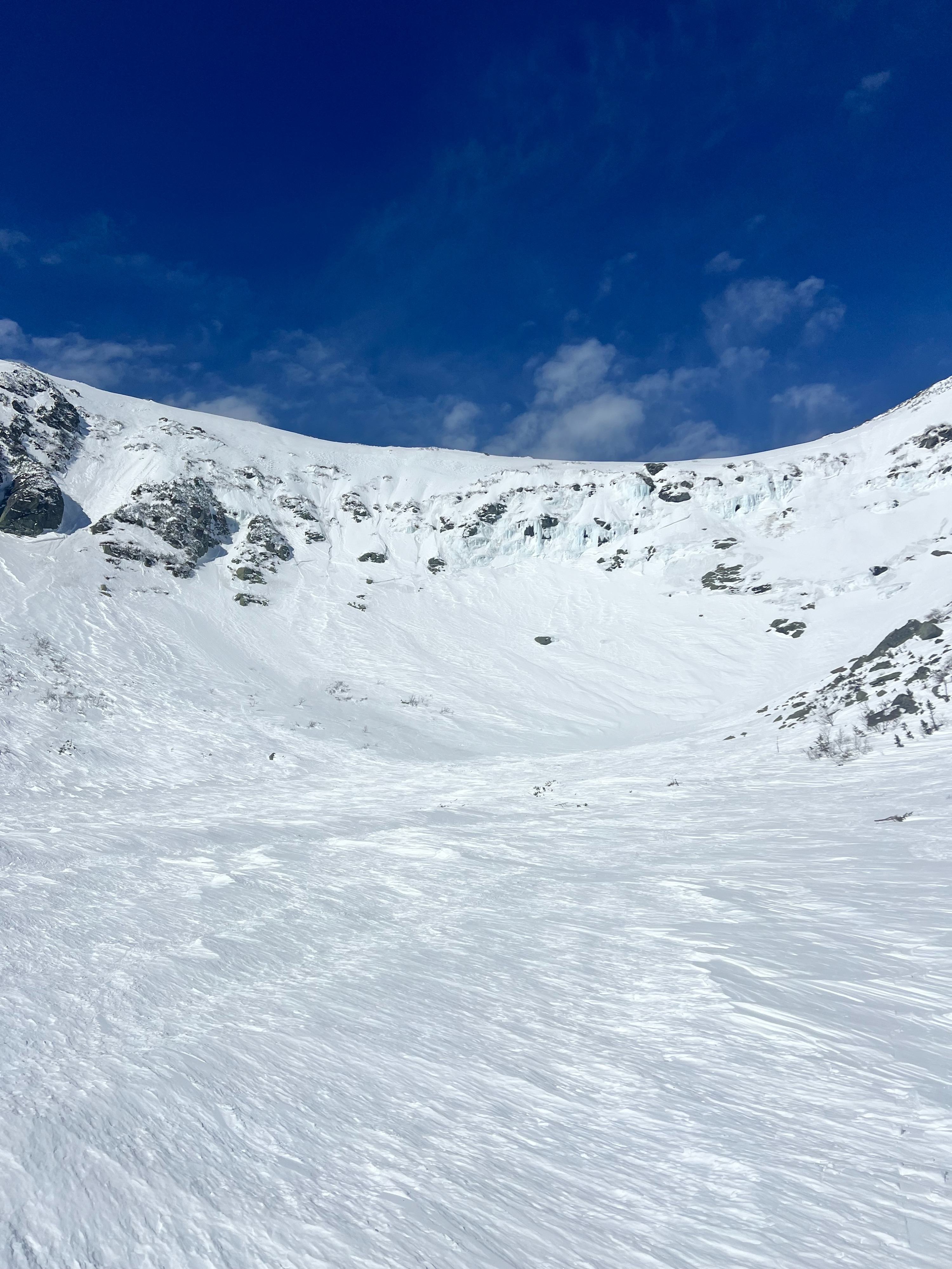
That was our plan in terrain today, to spend time in Tuckerman Ravine and watch the effect of warm temperatures, clear skies, and low winds on the surface snow and see how deep the wind slabs were saturated.
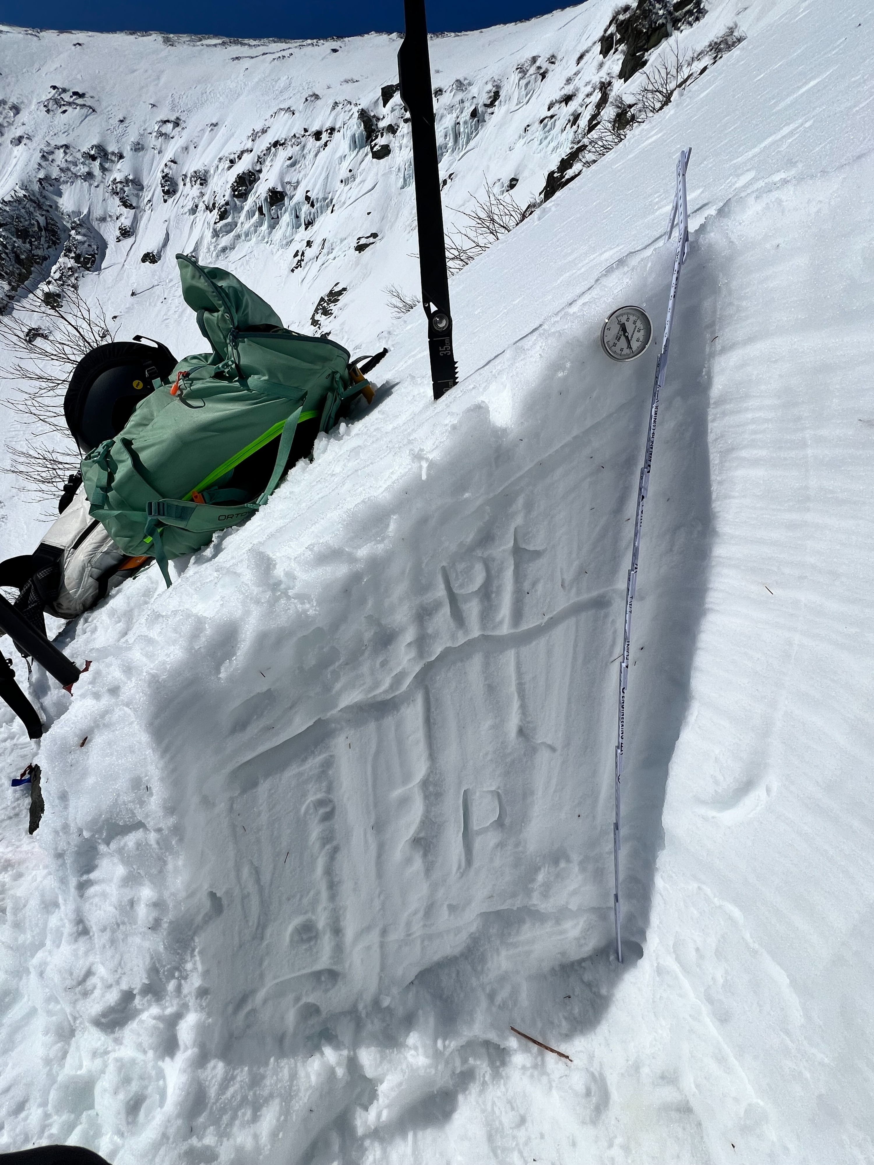
Higher than anticipated winds in the ravine limited solar gain on the surface snow today. Only the top 10 cm of snow was moistening, and this depth was variable (1.5-4 inches) as it was on top of a thin melt-freeze crust. Snow below this melt-freeze crust remained dry by 1:00 PM. A hasty pit dug to the right of Right Gully showed limited moisture, a firm wind slab, with little signs of instabilities.
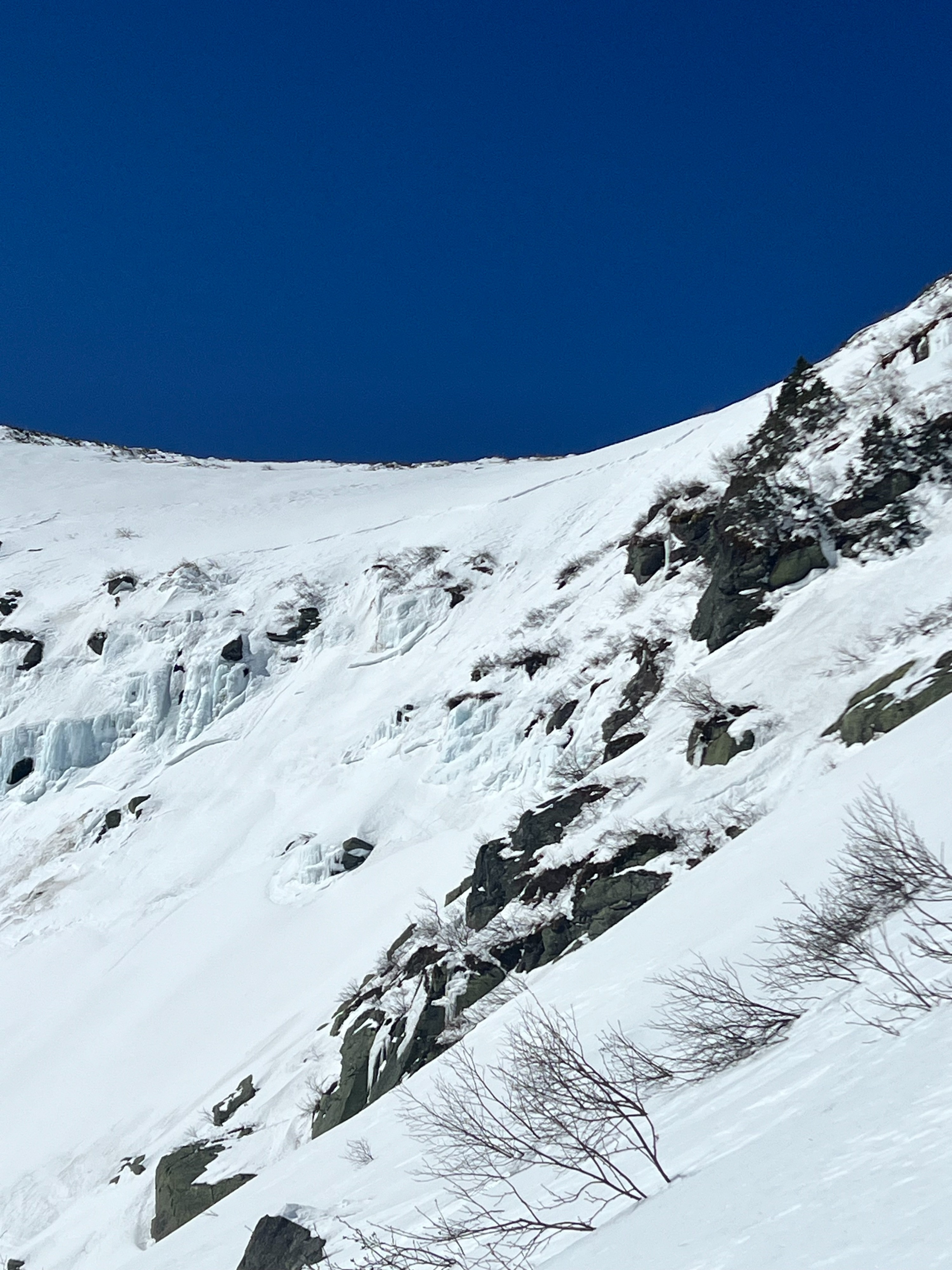
In steep terrain did not witness any significant surface moistening or wet loose structure. The majority of terrain looked like stiff and edgable windboard with the upper start zones looking scoured. Talking to skiers confirmed that those places were icy.
My observations are from about 1:00 PM in terrain, I was curious to see if additional warming would have any effect, but it looked as though cloud coverage was increasing which would further limit solar gain and concerns of additional snowmelt.
Weather
- Air Temp
- 37
- Cloud Cover
- scattered
- Snow Avail For Transport
- none