
Quick report
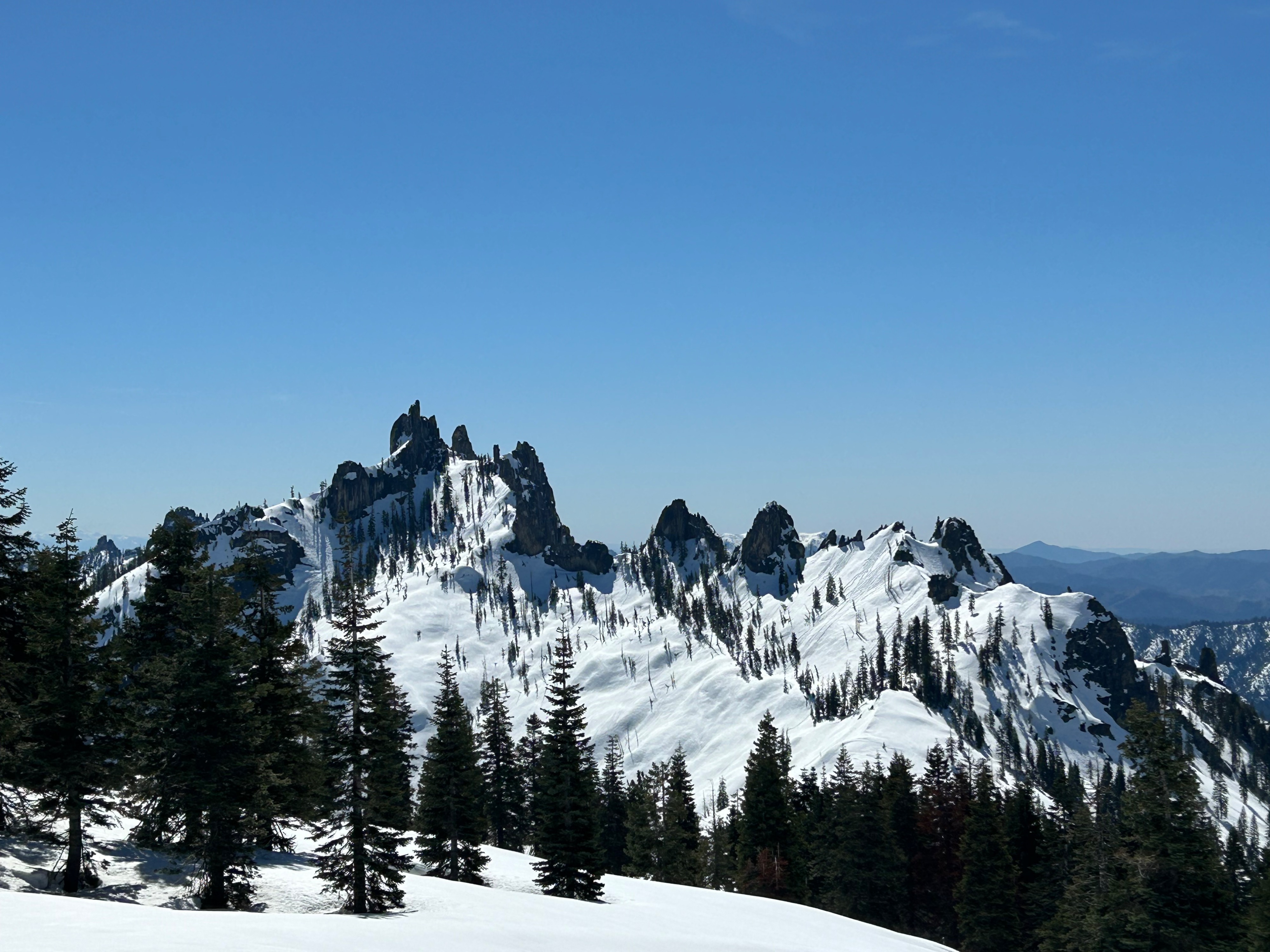
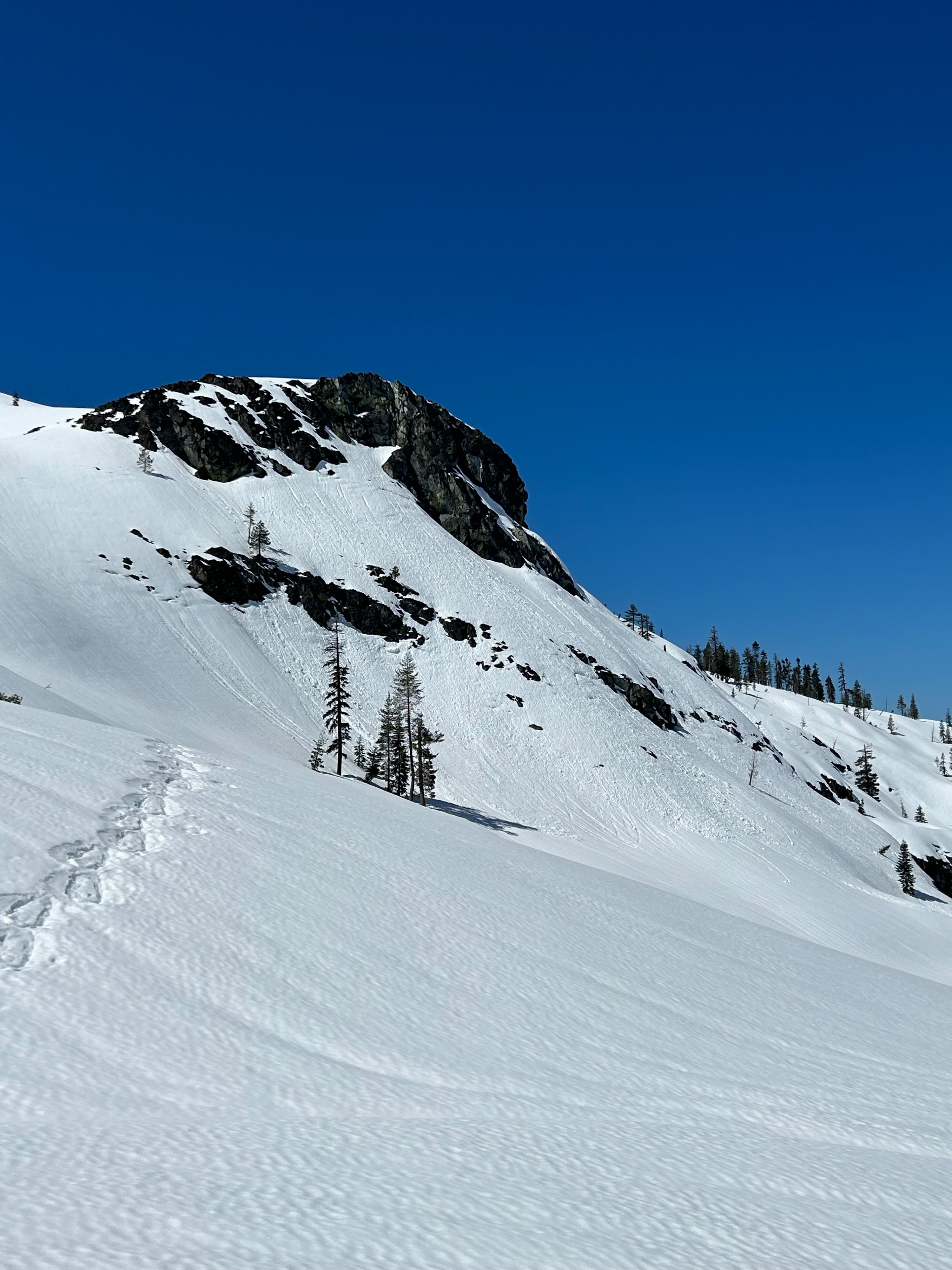
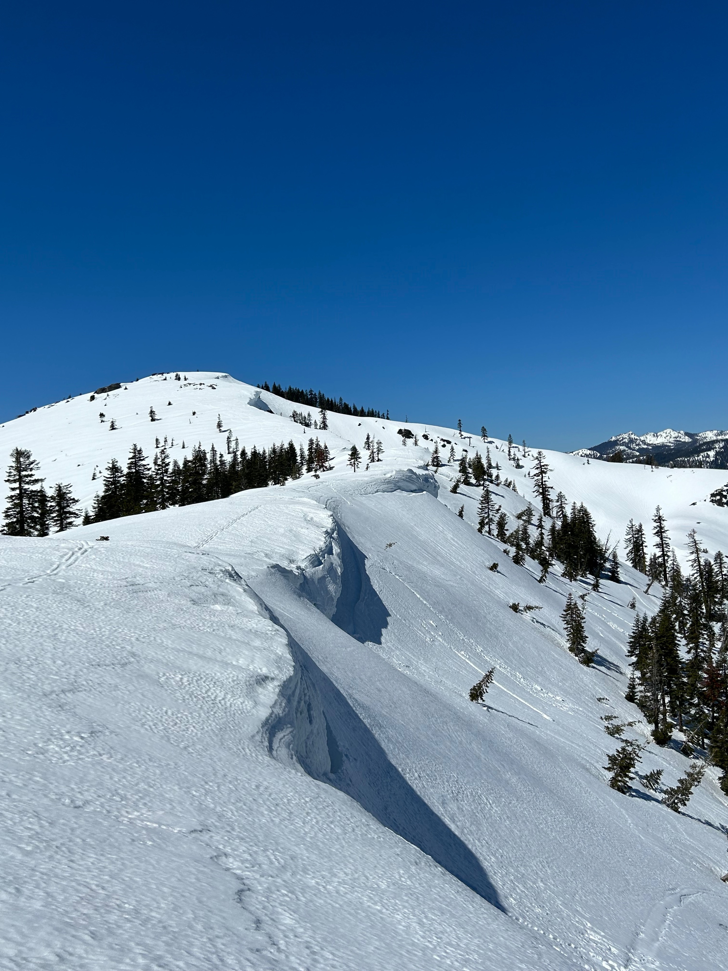
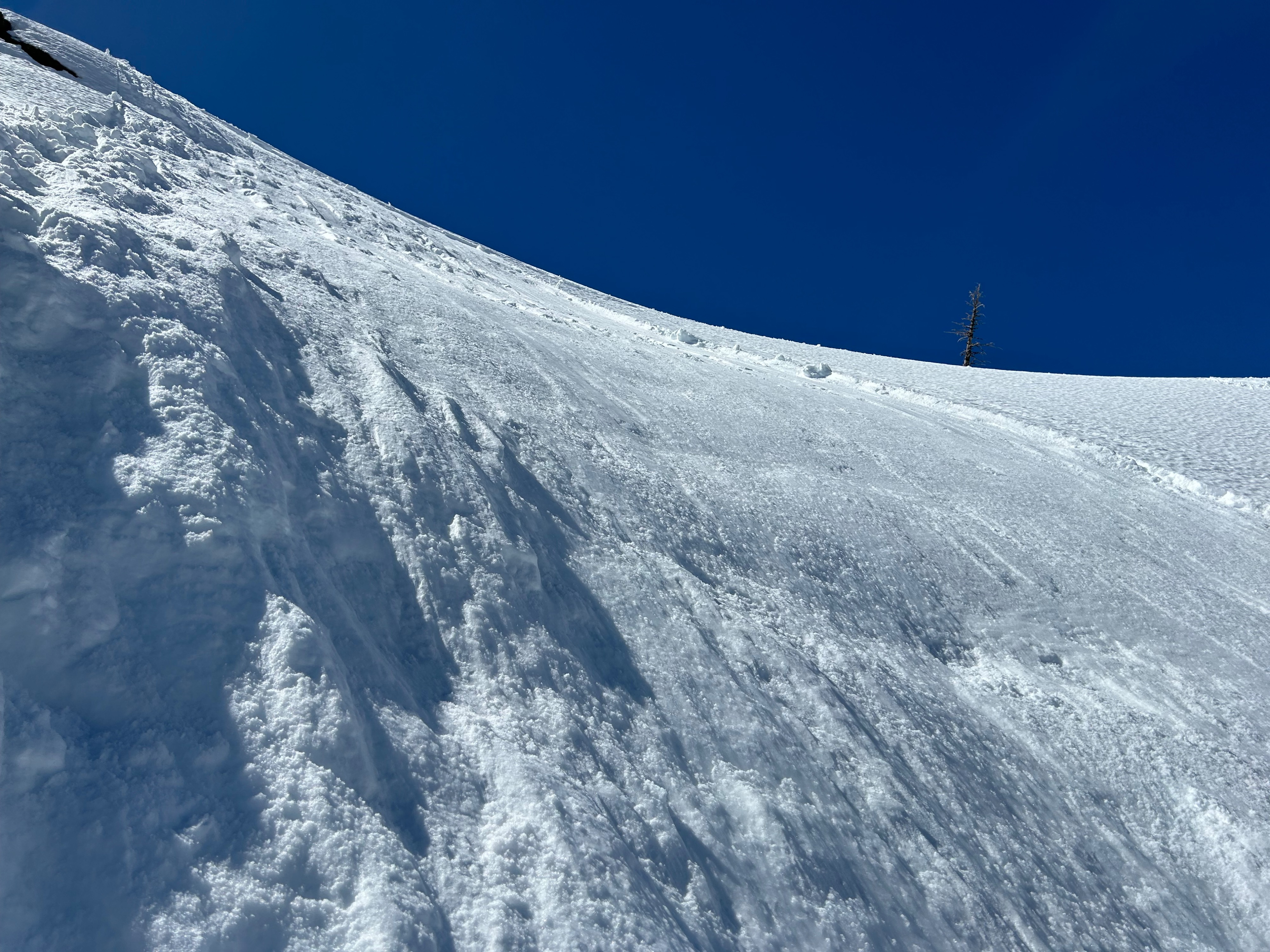
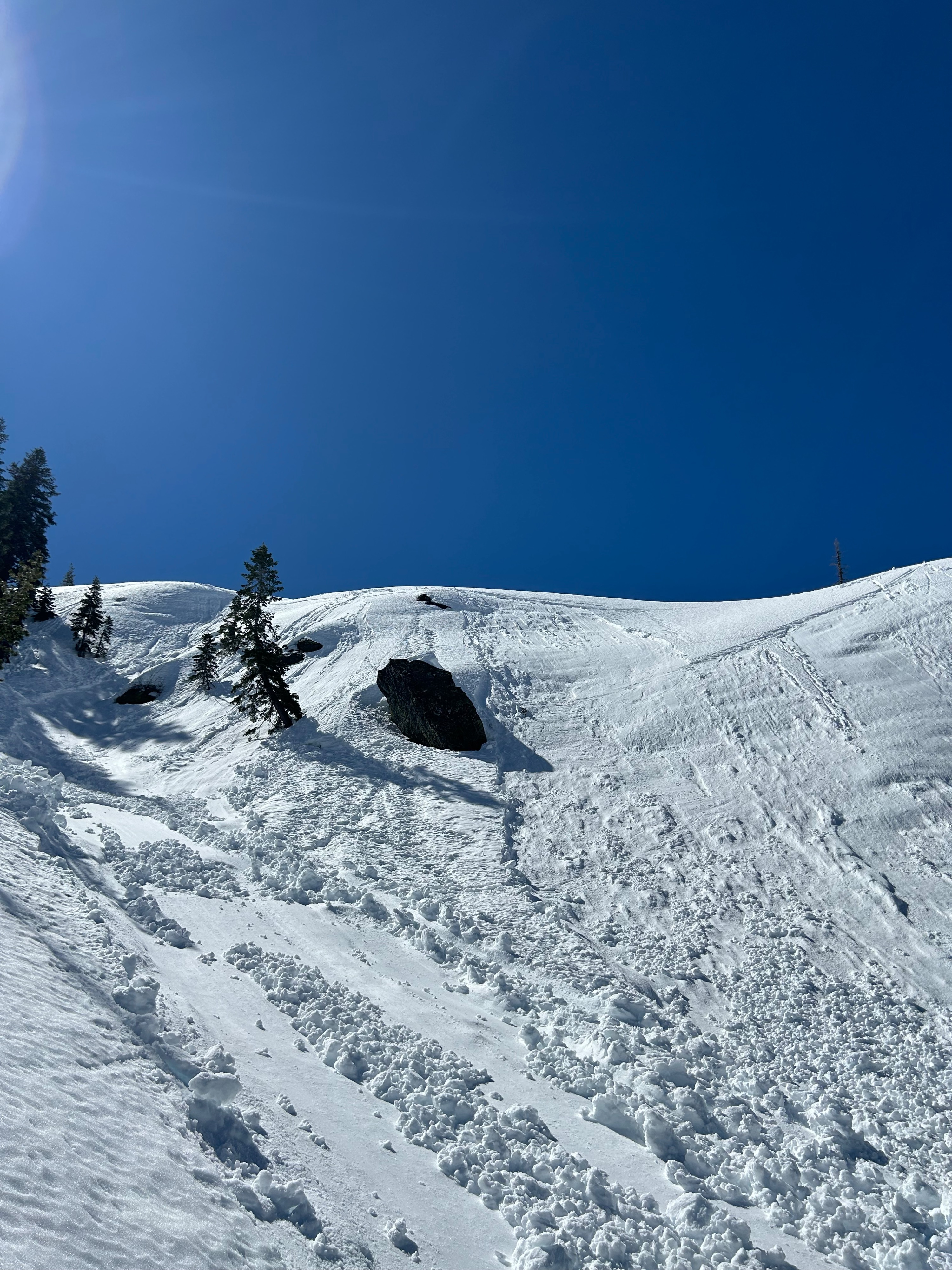
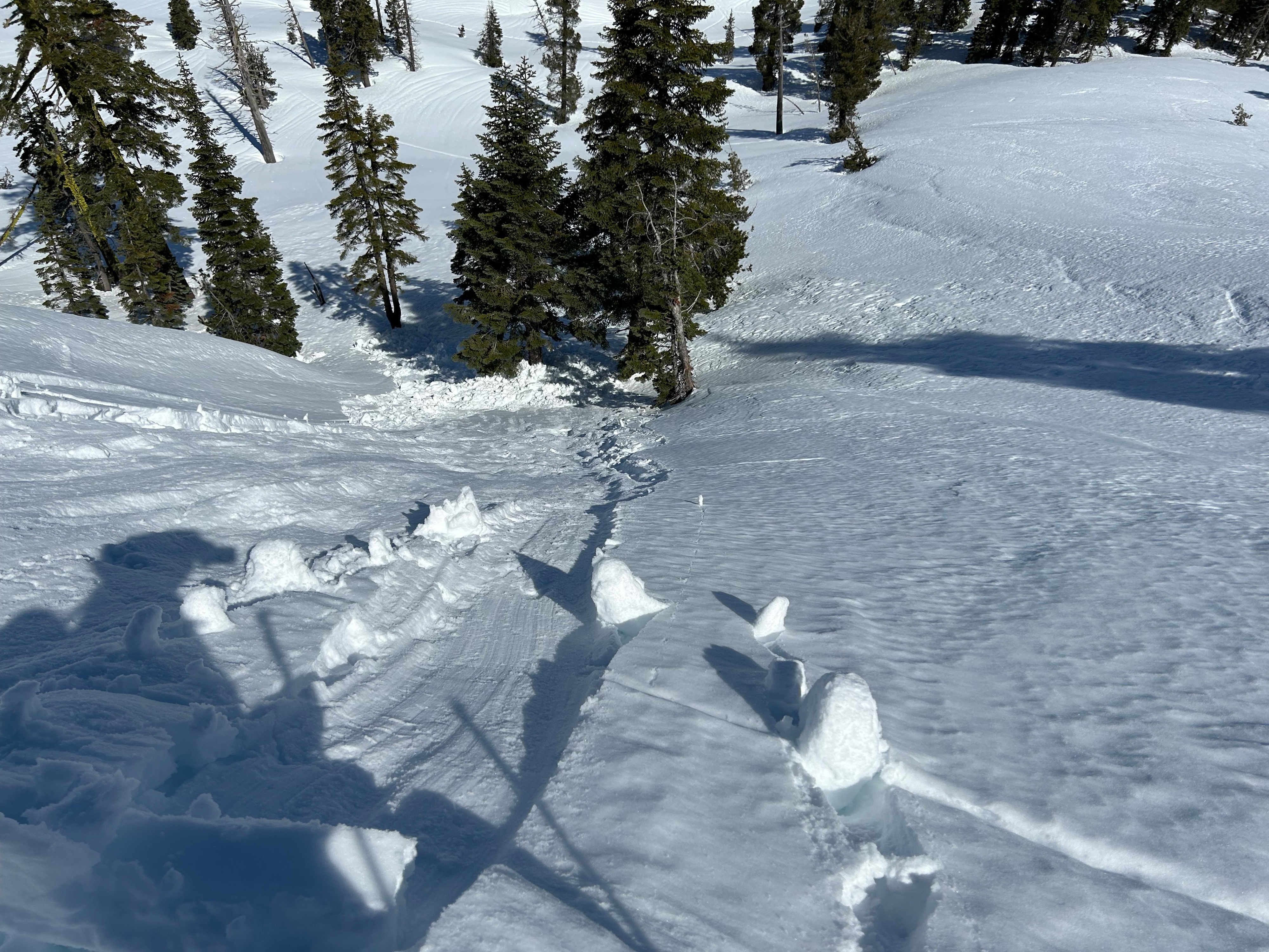
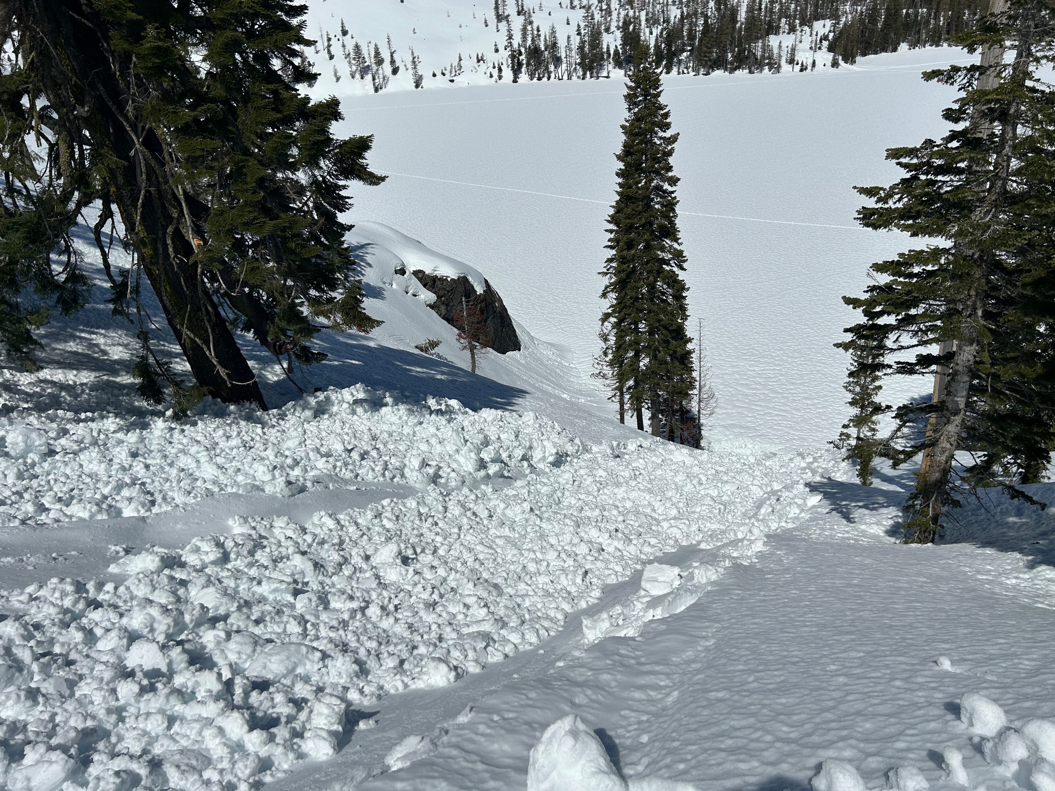
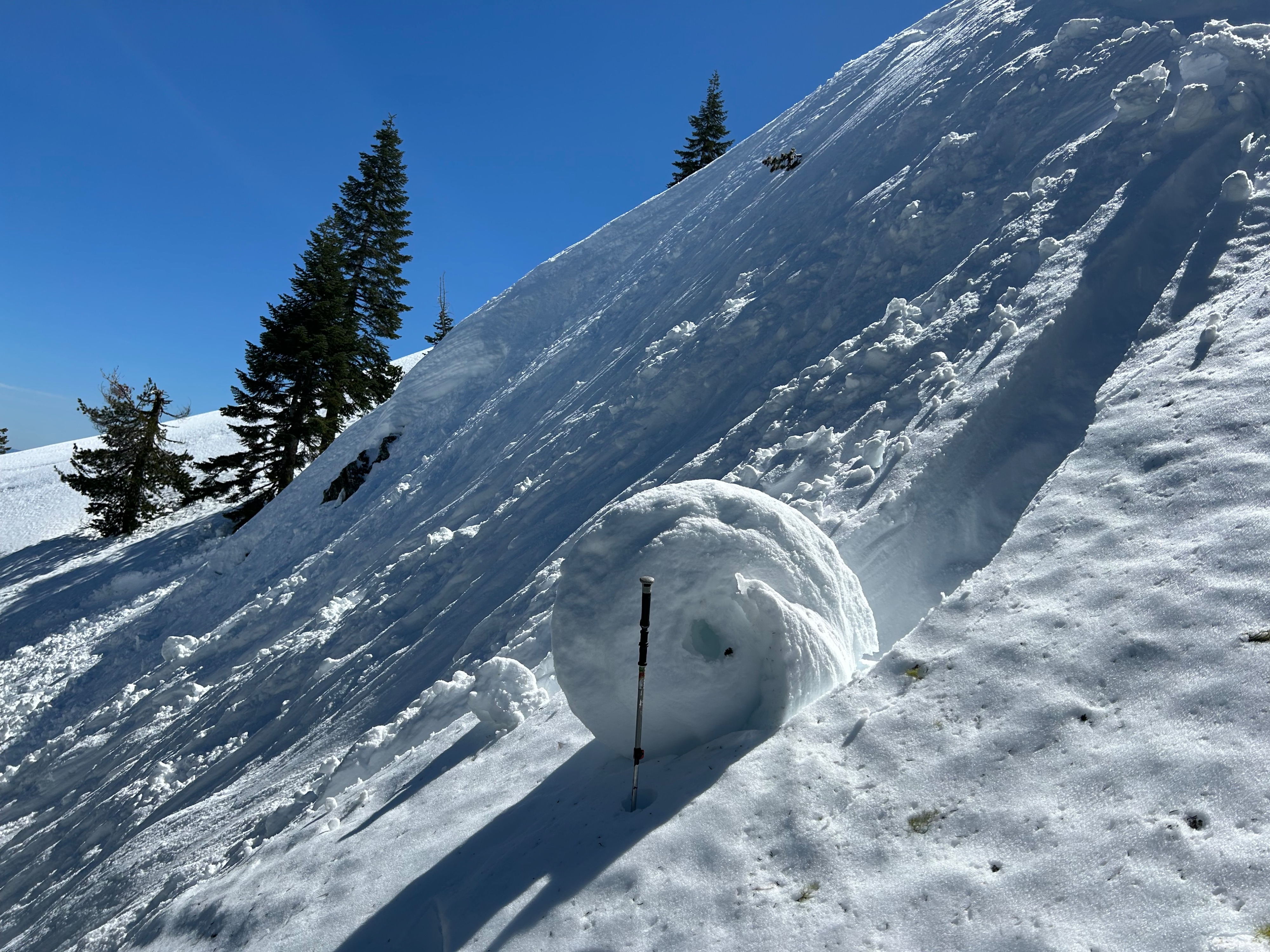
Today, I dug my paws into the snow at Castle Lake to assess the wet snow and cornice problems. Snow surfaces on all aspects near and below treeline transitioned from damp to drenched over the course of my outing. Steep convex slopes were reactive to skis, and several intentionally triggered wet loose avalanches resulted. These slides gouged down 5–8 inches and entrained a significant amount of additional snow in the process. Debris piles were large enough to harm and potentially bury a person. A slick bed surface made for easy sliding conditions. Actively shedding roller balls were observed off Middle peak. Cornices looked tired and weak, but no recent cornice fall activity was observed.
Skier triggered slides were easy to initiate on steep convex slopesWeather
- Air Temp
- 65
- Cloud Cover
- clear
- Wind Loading
- none
- Recent Snowfall
- 0
- Snow Avail For Transport
- none
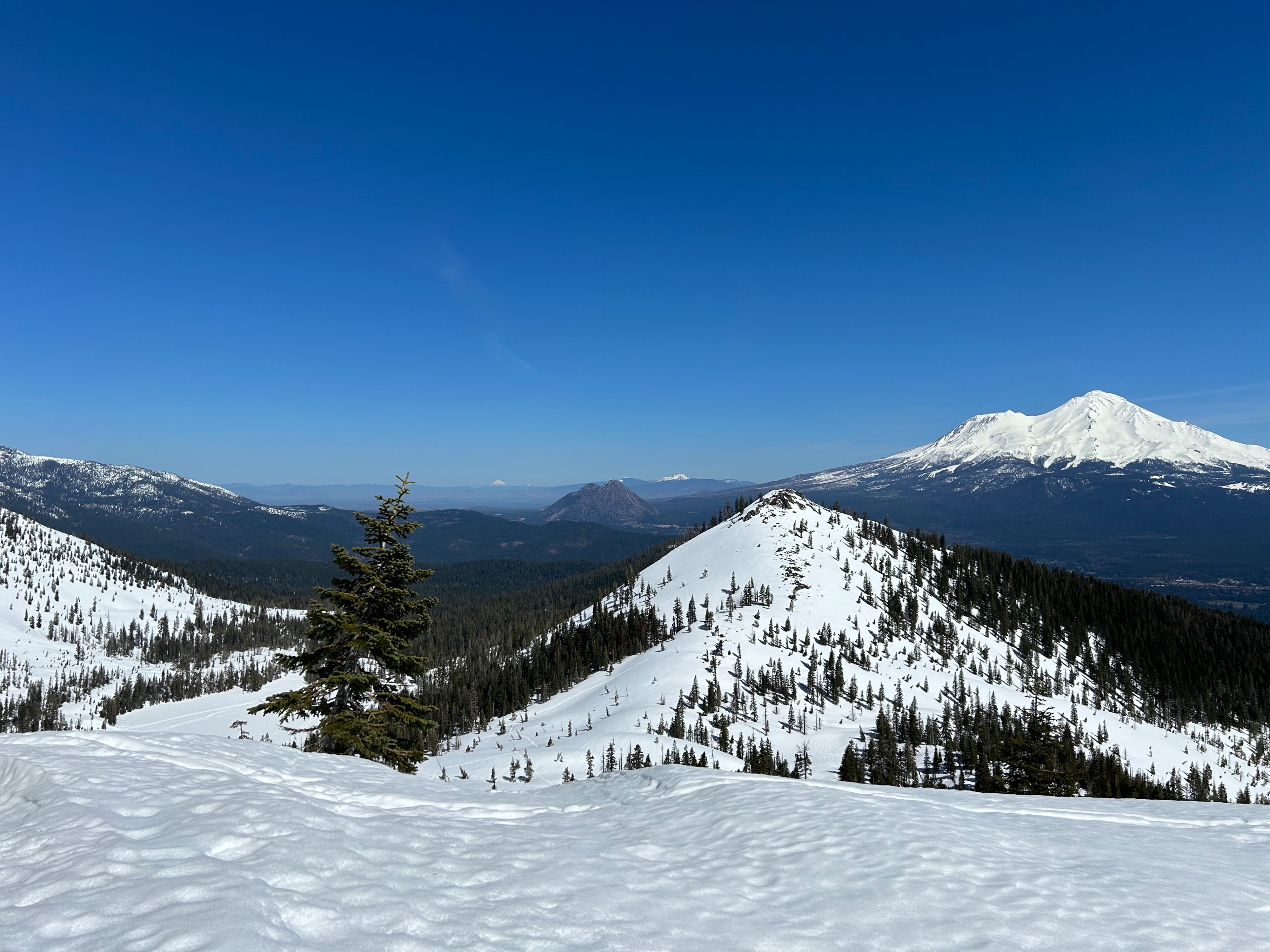
The day was splitter, with clear blue skies and a calm to light westerly breeze. Temperatures spiked into the mid 60s.
Snowpack
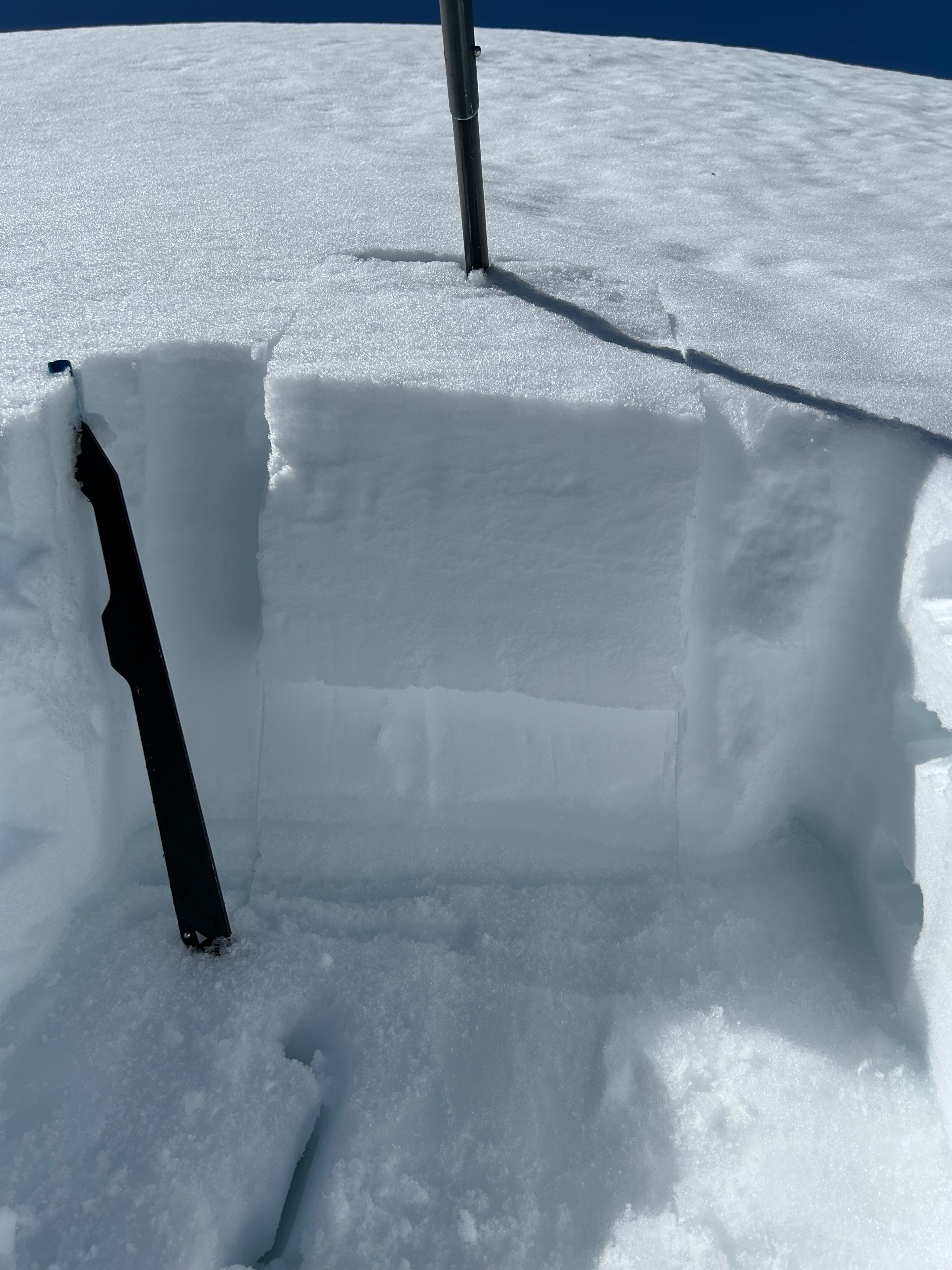
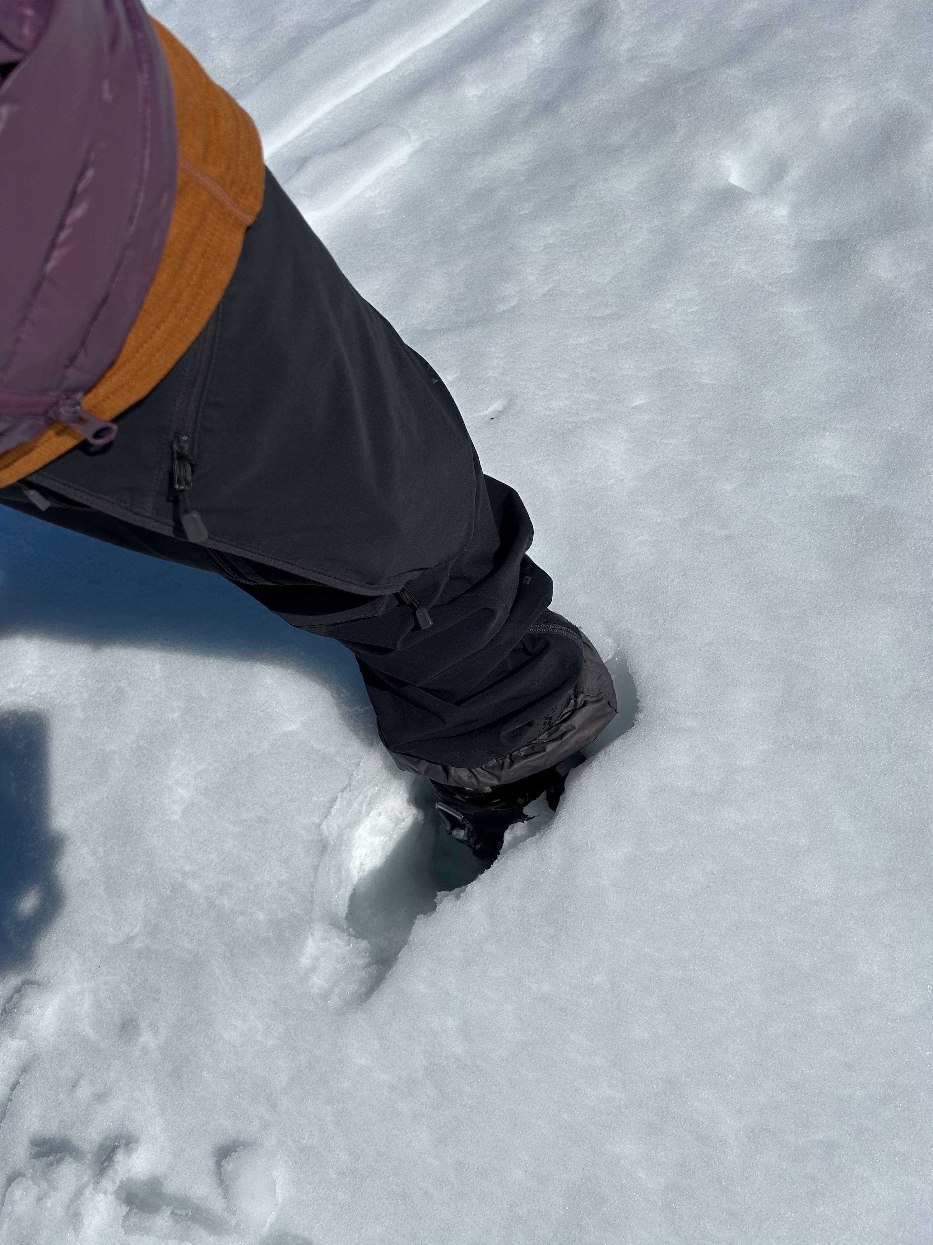
The snowpack near treeline on a north facing aspect holds roughly 30 cm (12") of dampening snow atop a slick, firm bed surface. The top 3-5 inches of surface snow is saturated but becomes progressively less damp and more dry with depth. Water has percolated down to several interfaces within the snow.