
Quick report
- Cracking
- isolated
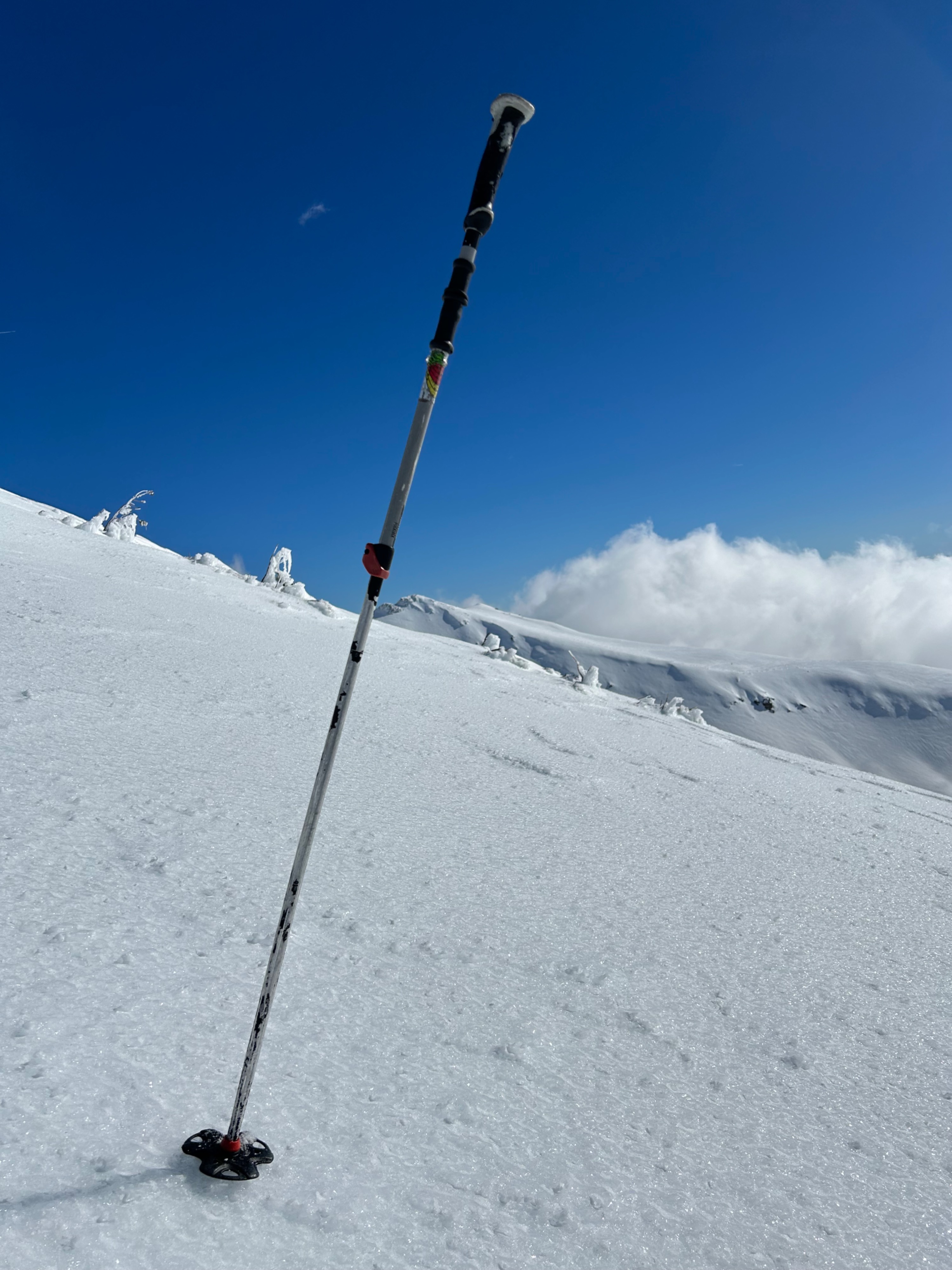
The snowpack is entering a new phase. Wet snow surfaces are emerging near and below treeline, primarily on southerly aspects. Above treeline, you can expect dry wind effected snow, mixed with variable surfaces of ice glaze.
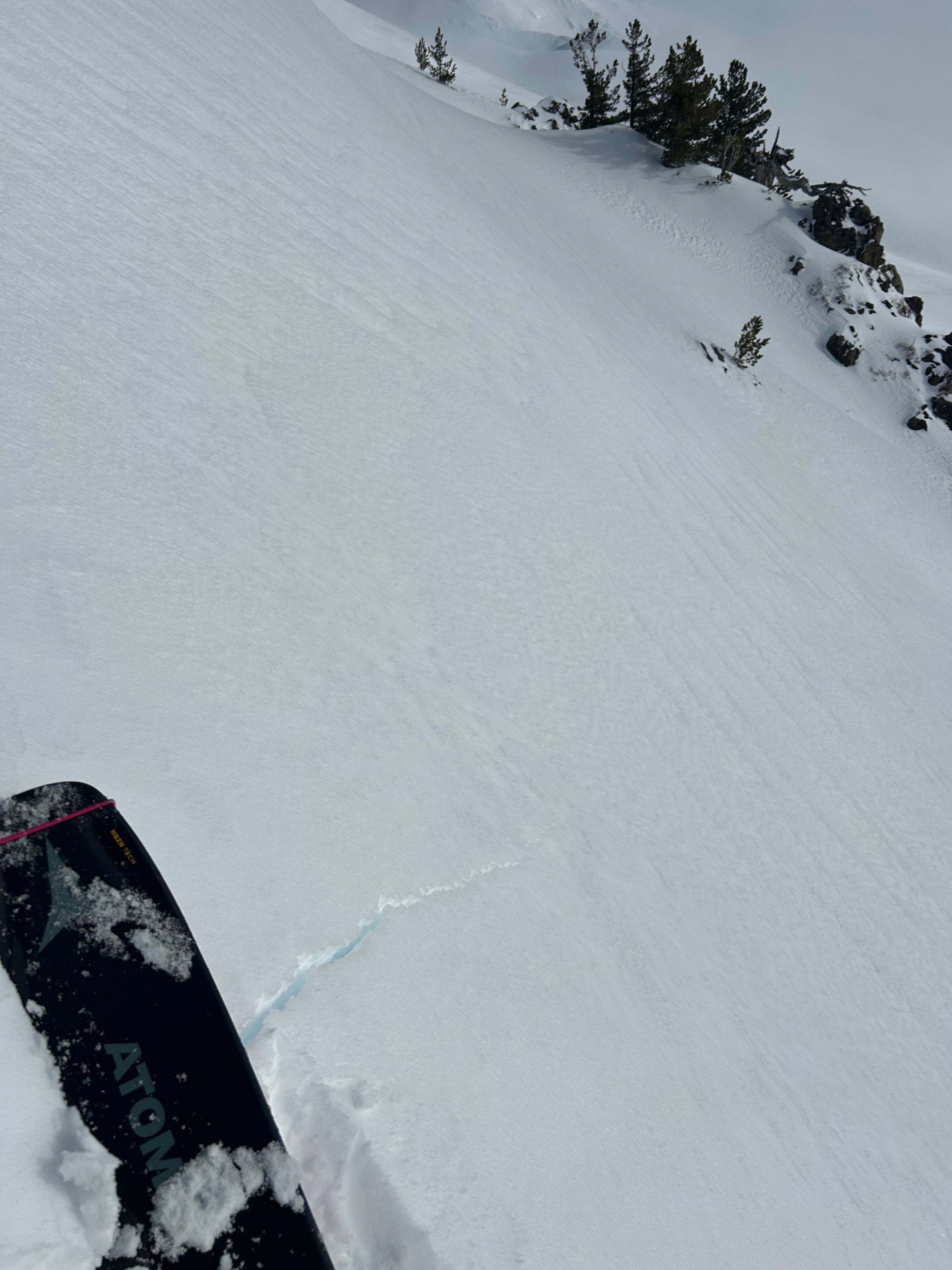
A crack was initiated from stomping atop a steep, wind loaded pocket.Weather
- Air Temp
- 36
- Cloud Cover
- scattered
- Wind Loading
- none
- Recent Snowfall
- 0
- Snow Avail For Transport
- small smounts
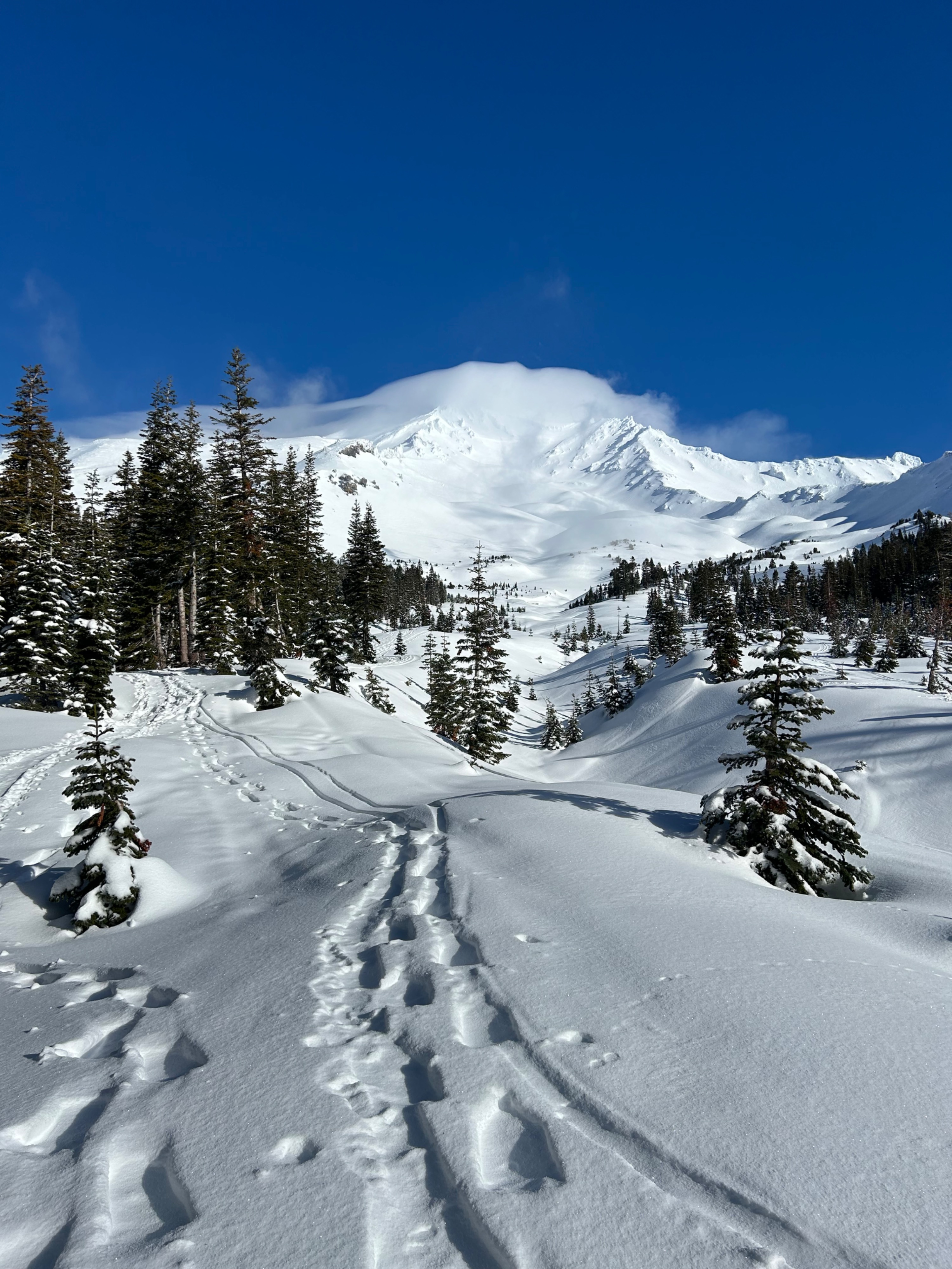
This morning, above the inversion, skies were mostly clear and temperatures reached 37 degrees F. Winds blew calm to light out of the east. At midday, clouds enveloped near and above treeline, decreasing visibility.
Snowpack
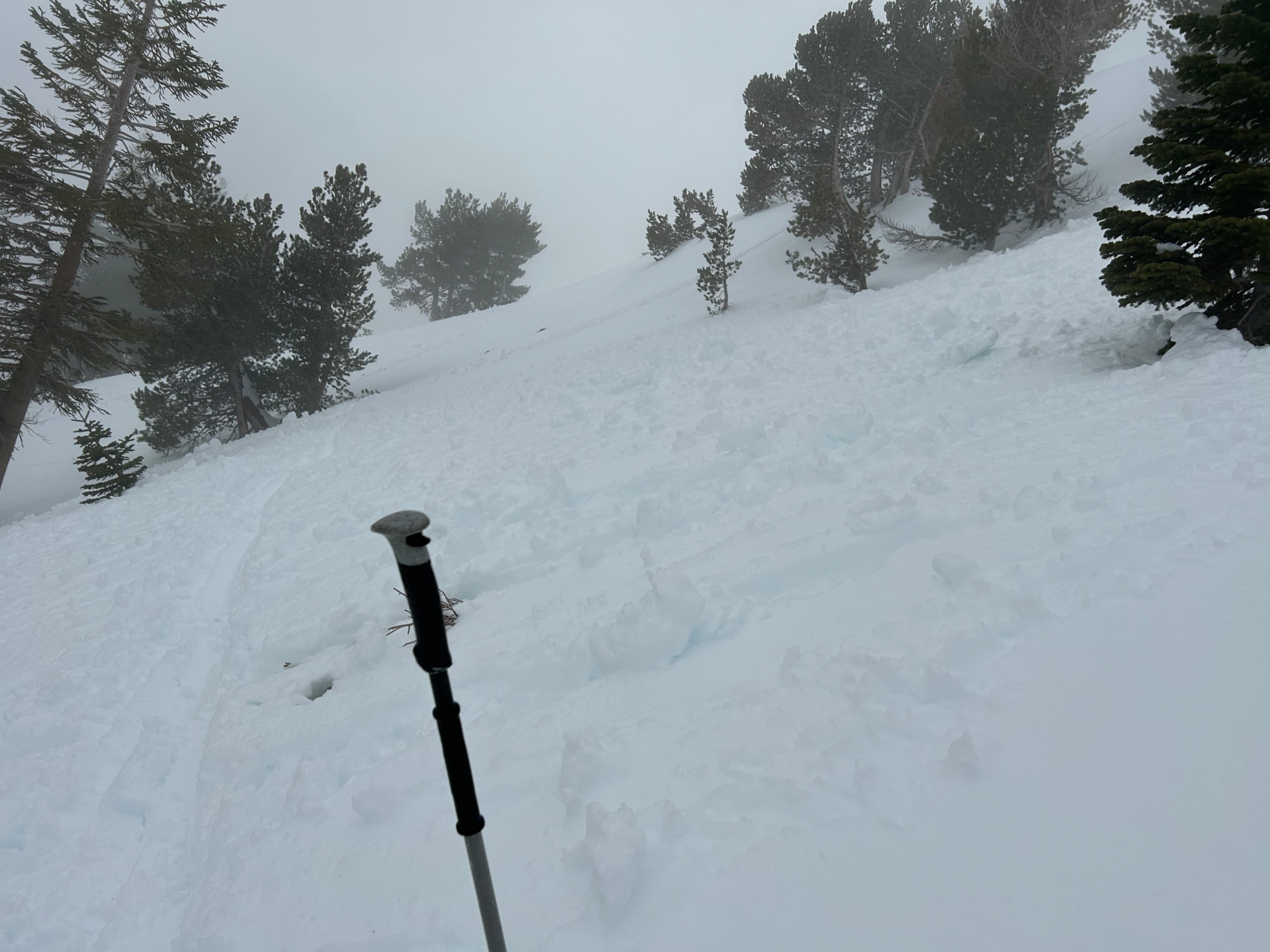
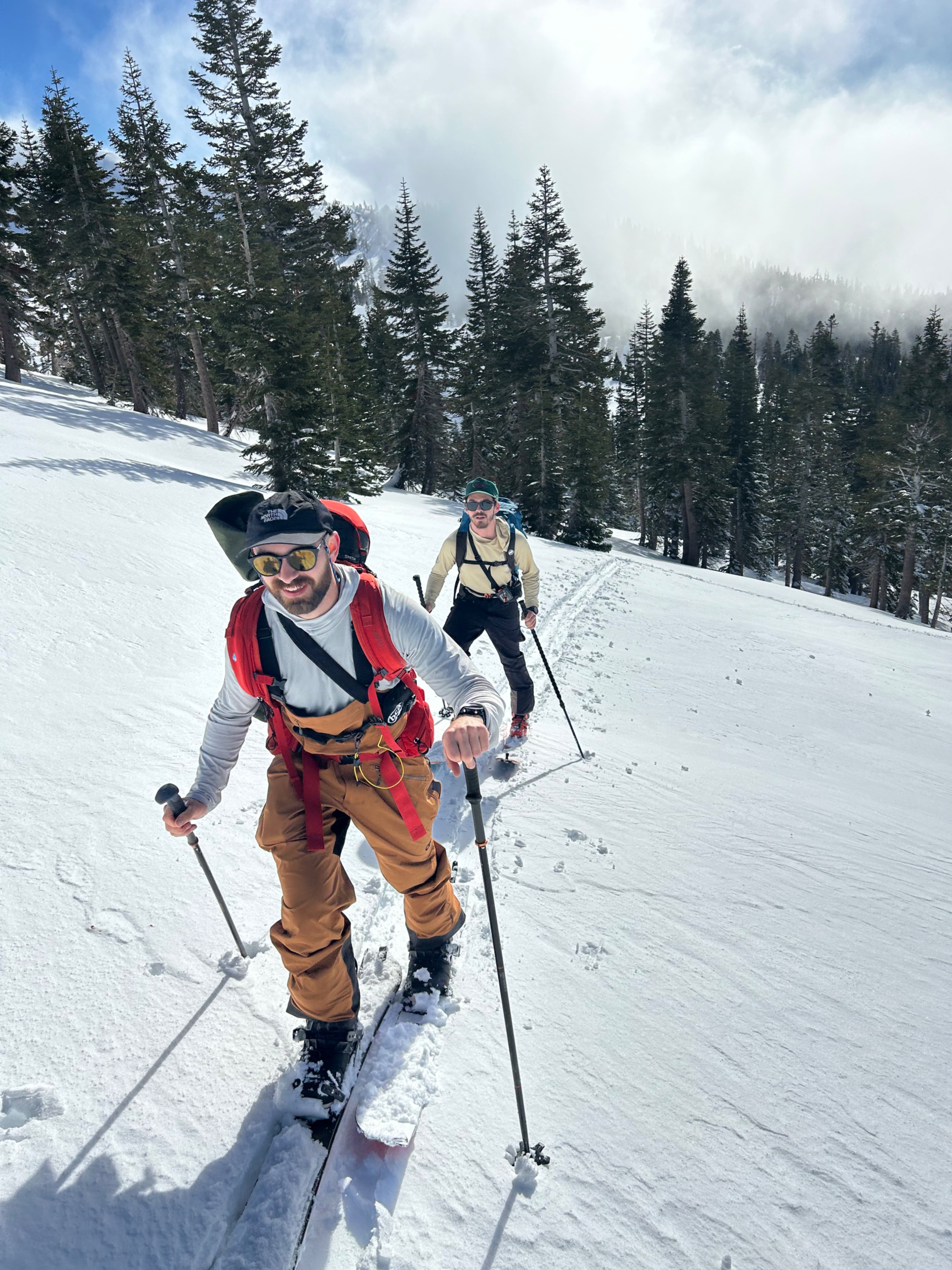
Near and below treeline, five to ten inches of damp surface snow sits above a crusty bed surface. This resulted in several small human triggered wet-loose avalanches. (see video)
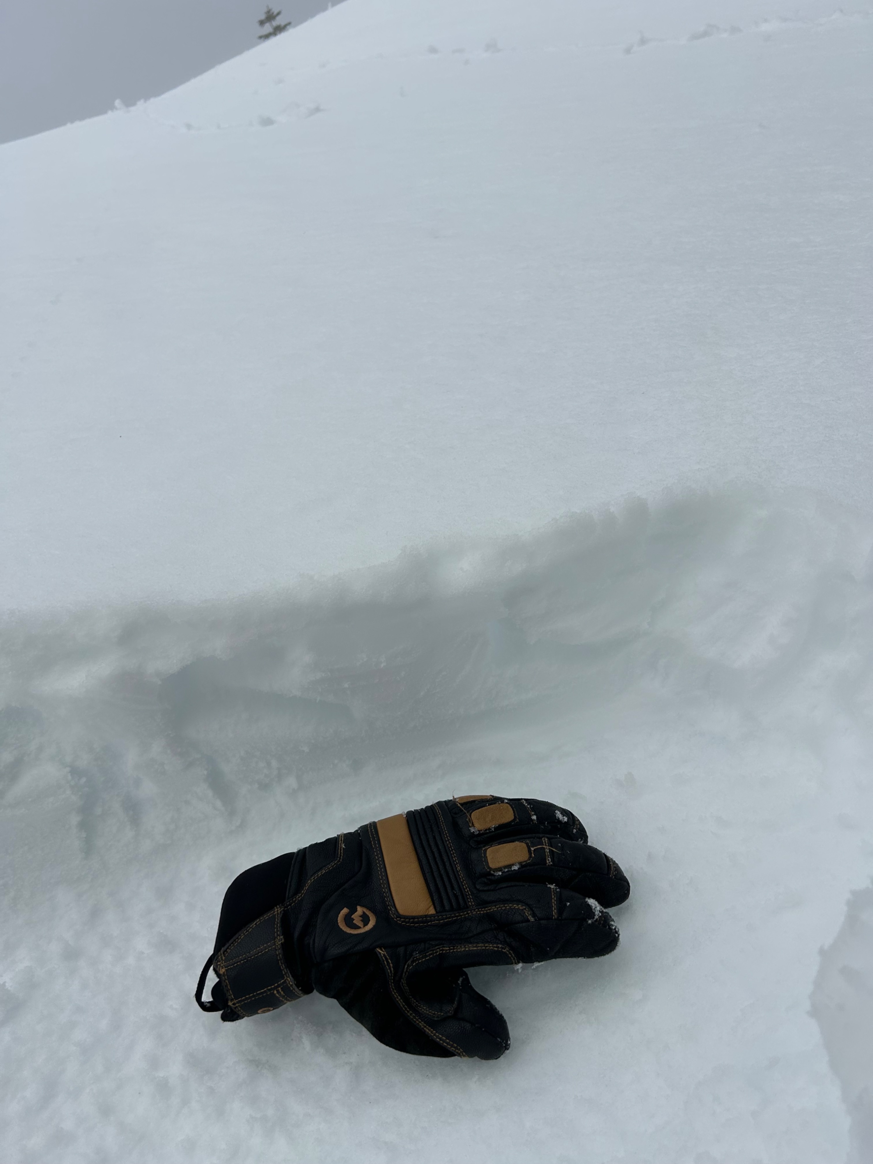
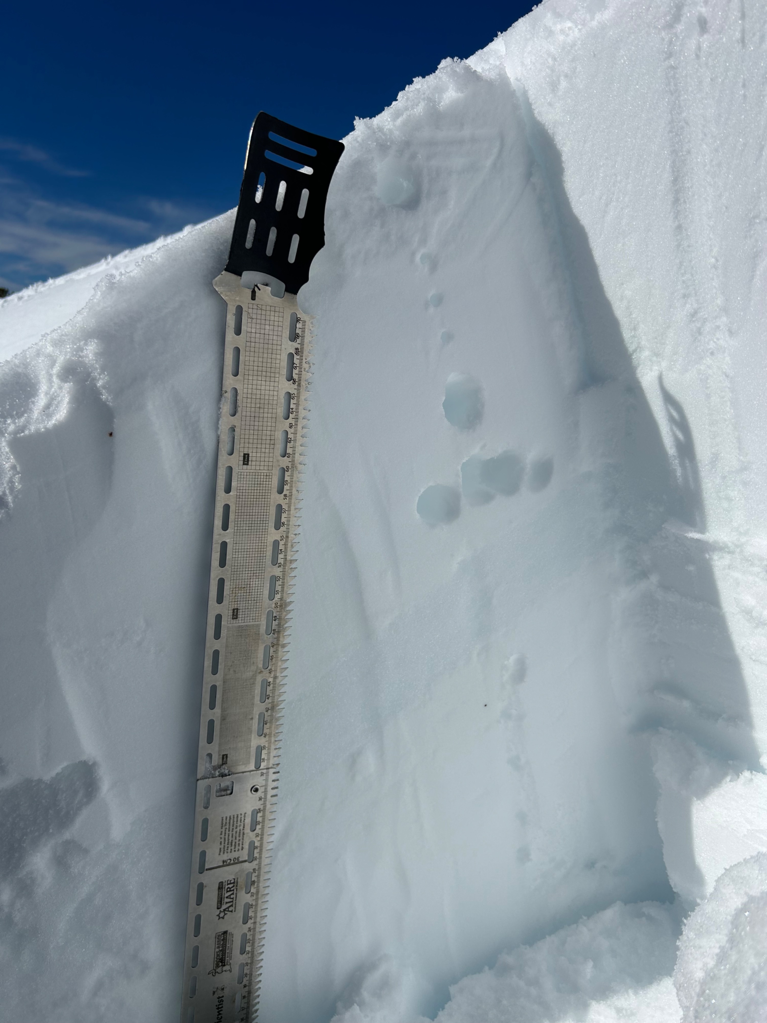
Signs of wind slabs instabilities have widely decreased. A pit dug in a wind loaded location resulted in no propagation. Time and warm temperatures are likely attributing to the bonding of these surfaces slabs.