
Quick report
- Cracking
- isolated
- Collapsing
- isolated
We traveled to the northern Whitefish Range to assess the impact of last week's storm:
-We were unable to reach our intended viewshed due to large drifts of snow blocking the road.
-We saw no recent signs of avalanche in our limited views of start zones.
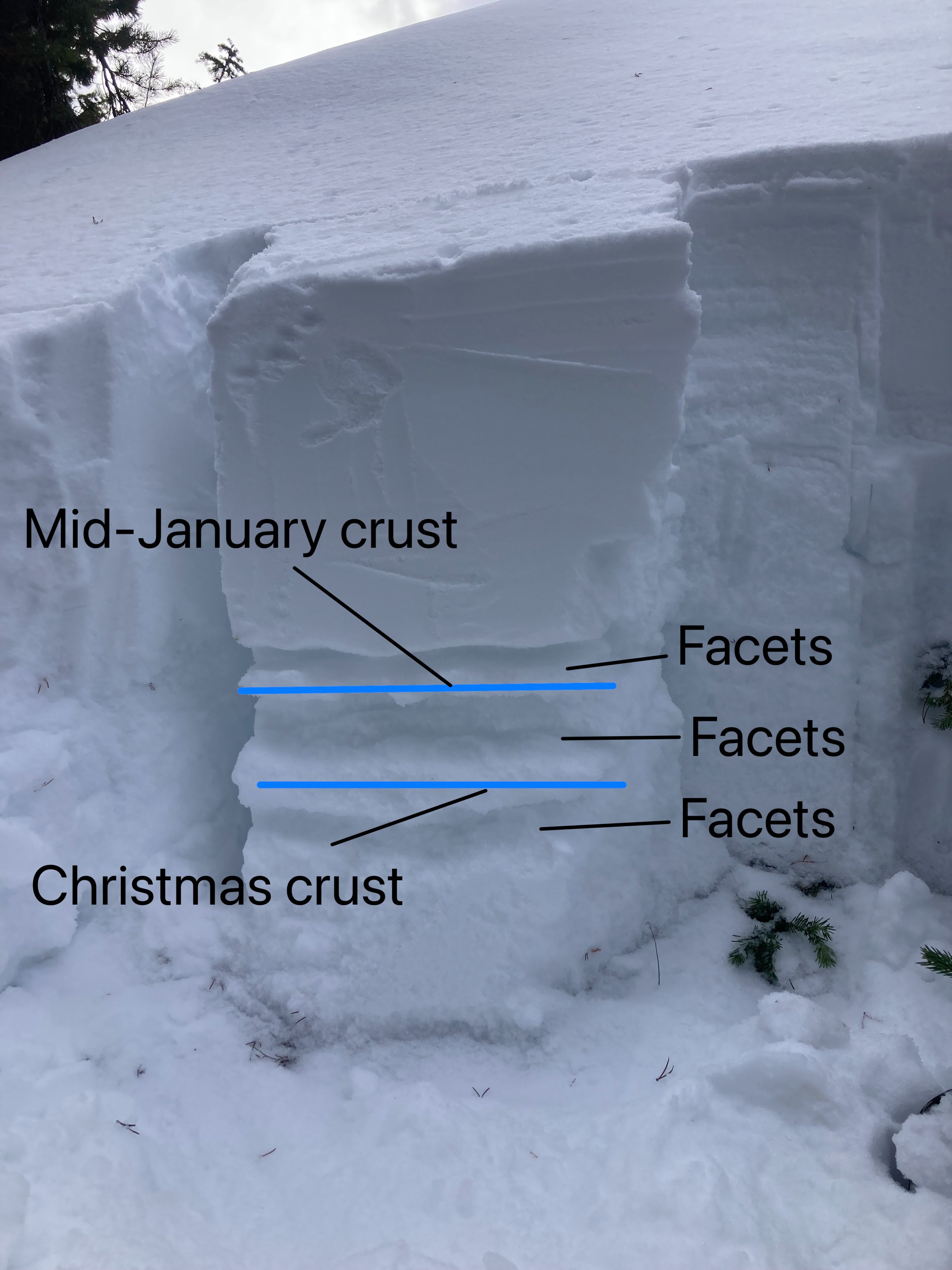
-We found a thin and weak snowpack at low and mid elevations on aspects NE to SE
-We got variable results in repeat tests in our snow pits.
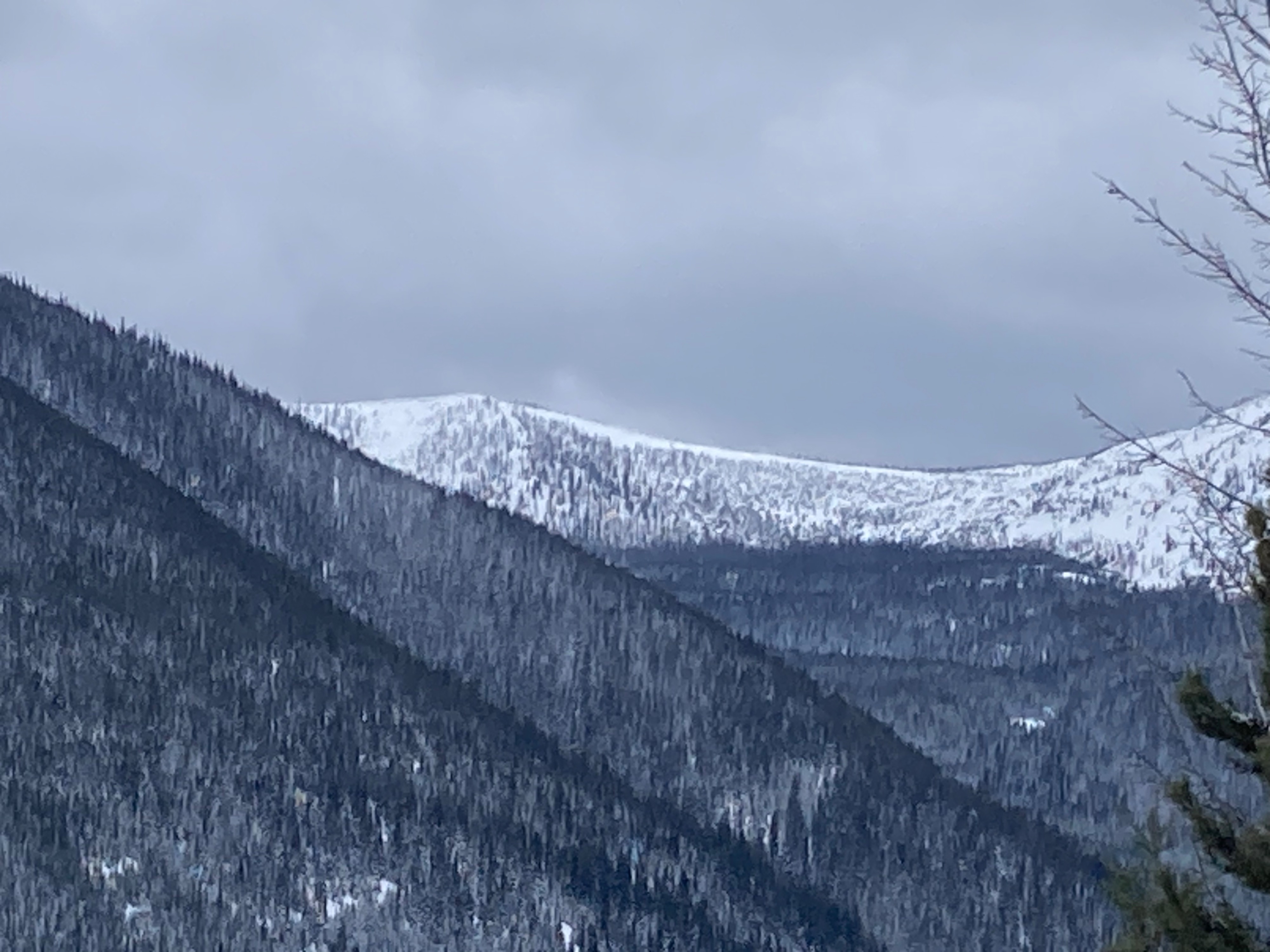
-Westerly winds continued to rake trees clean, blow snow along ridges, and build cornices.
-Surface snow at low and middle elevations became moist by early afternoon. Roller balls and very small wet loose ran from rocky, south-facing terrain.
-Ramping winds and building clouds cooled the snow surface enough to form a breakable crust on solar aspects by late afternoon.
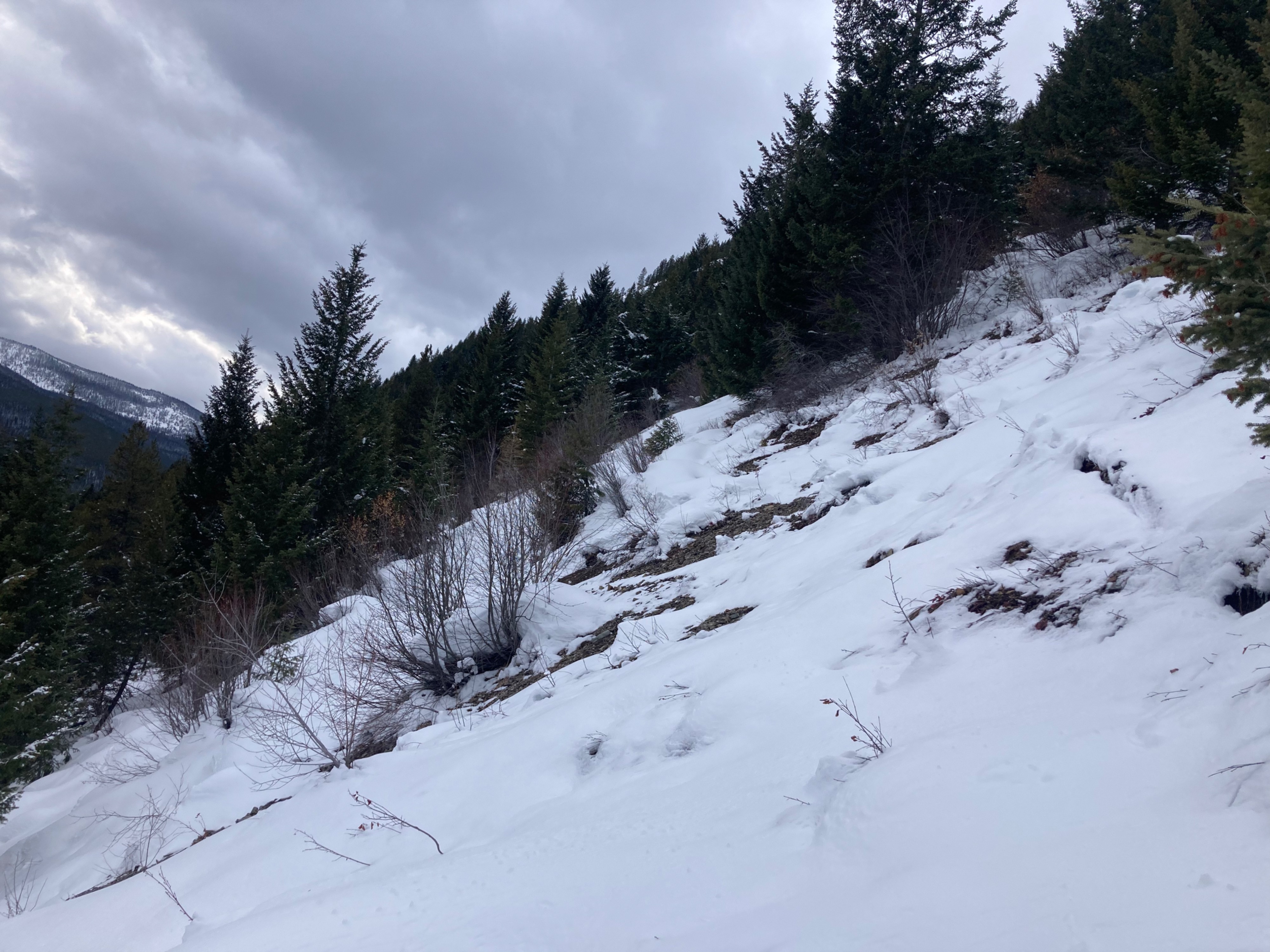
We skied through the crust happily as we avoided the thick timber, brush, and exposed talus slopes we encountered elsewhere. We felt confident riding a short slope steeper than 35 degrees as there was barely enough to cover surface roughness.
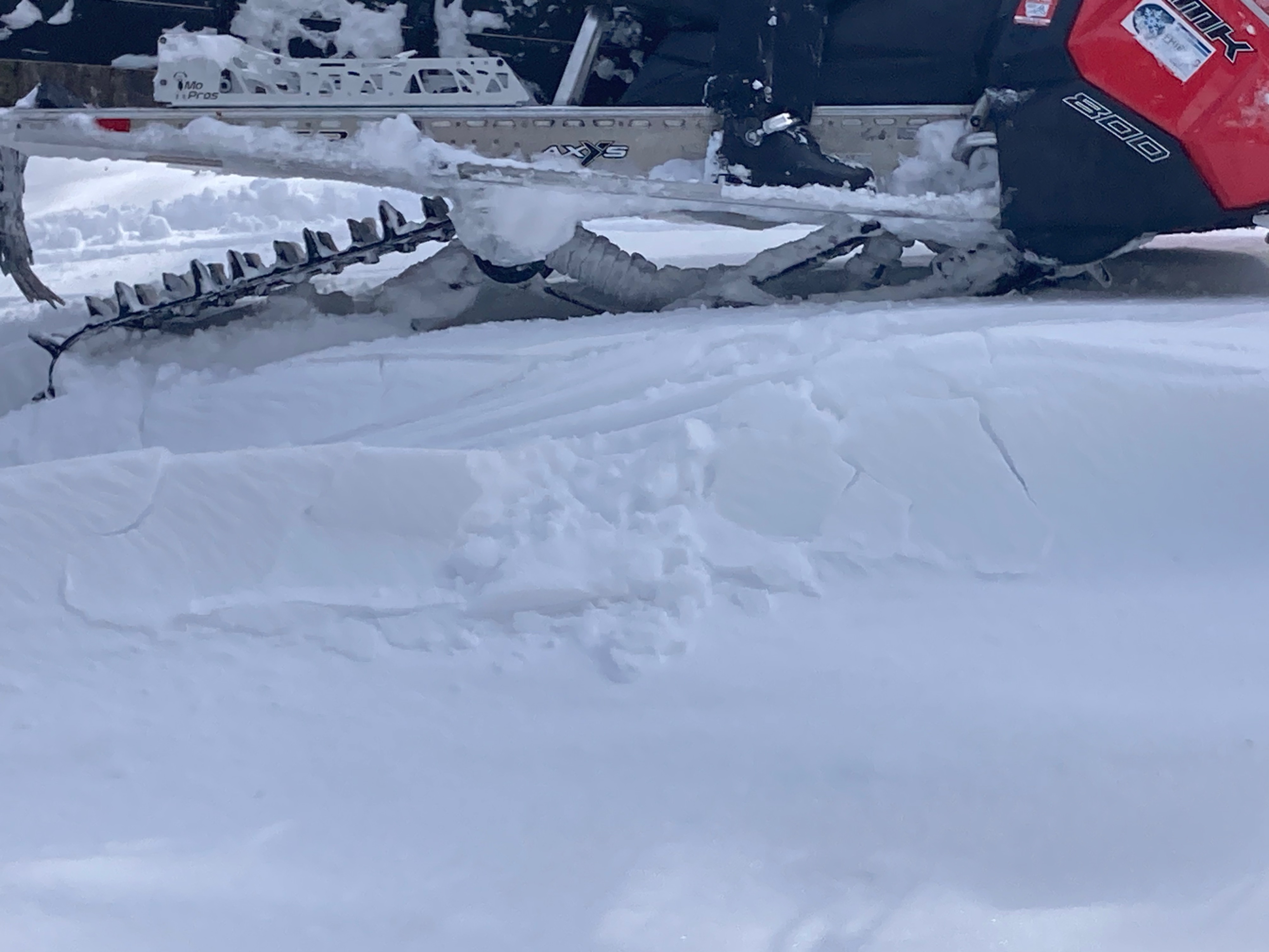
Cracking and collapsing on SE through NE aspects near 5000 feet.
Weather
- Cloud Cover
- scattered
- Wind Loading
- light
- Recent Snowfall
- 4"
- Snow Avail For Transport
- small smounts
Westerly winds gusted to moderate and clouds moved in the afternoon.
Snowpack
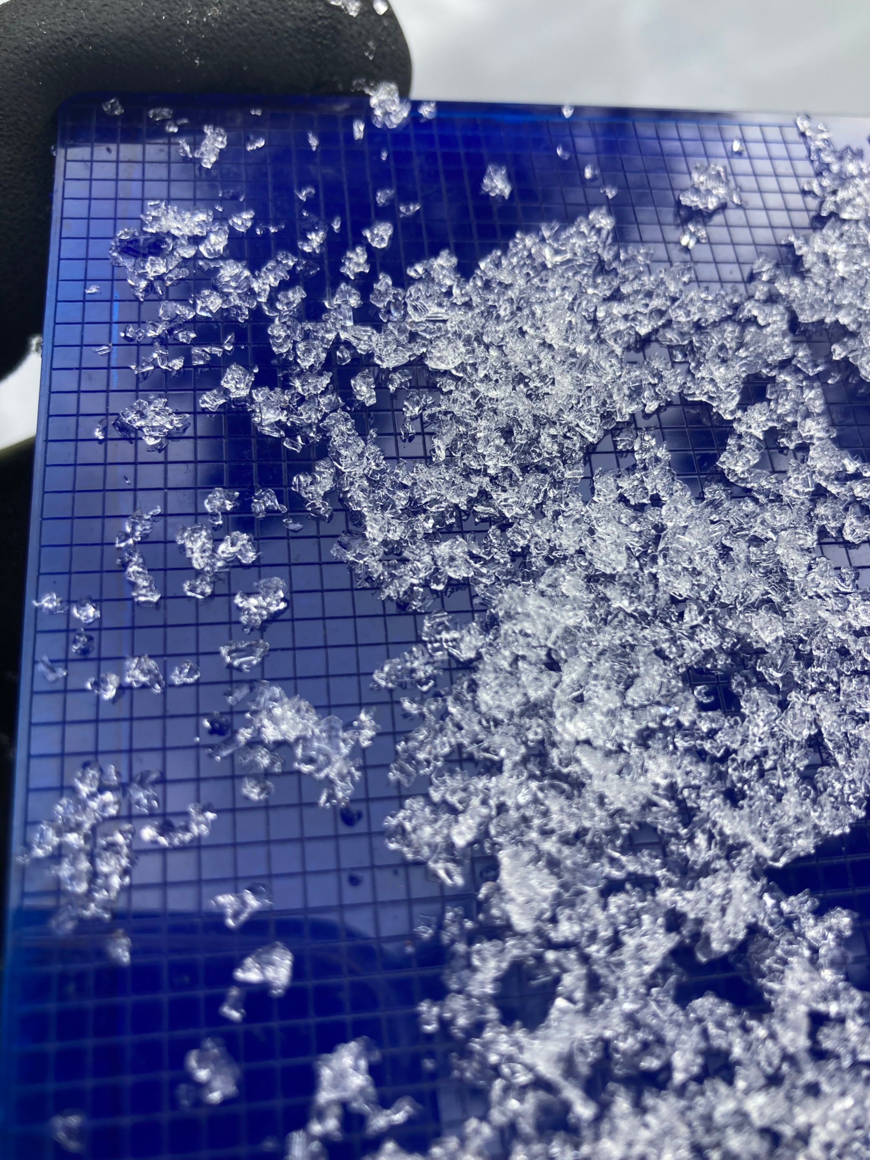
Pit @ 5500 feet NE aspect: HS =125 cm, ECTN13 down 35 cm, ECTN18 down 70 cm, ECTN 23 down 125 cm
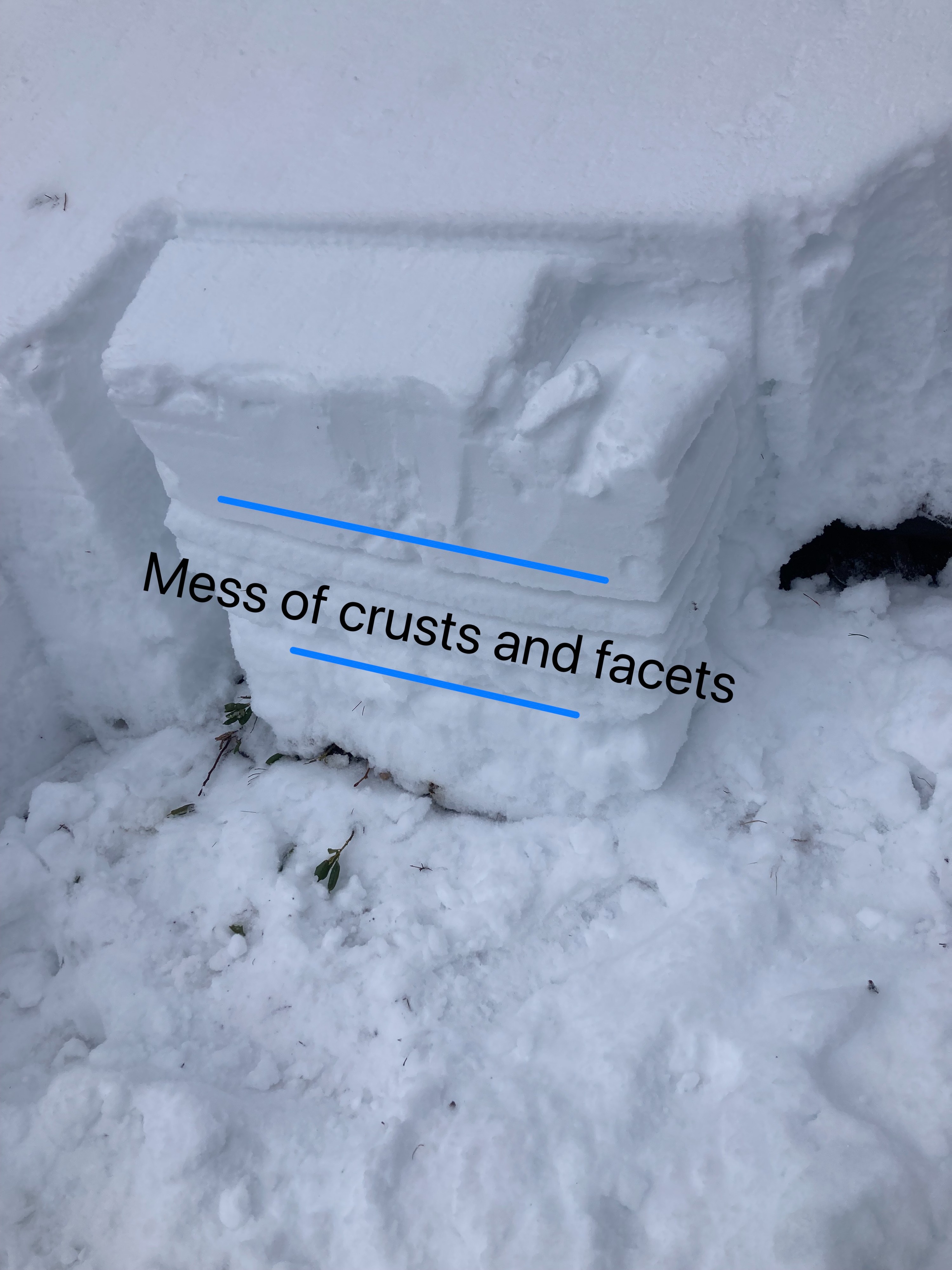
Pit @ 5500 feet SE aspect: HS = 80 cm, ECTP20 down 30 on FC between sun crusts, ECTP 11 down 50 cm under facet/crust complex.