
Quick report
Despite feeling like May, the weather forecast meant it was time to do a surface survey to see what new snow would fall and drift onto during Sunday's storm.
- See snowpack observations for details.
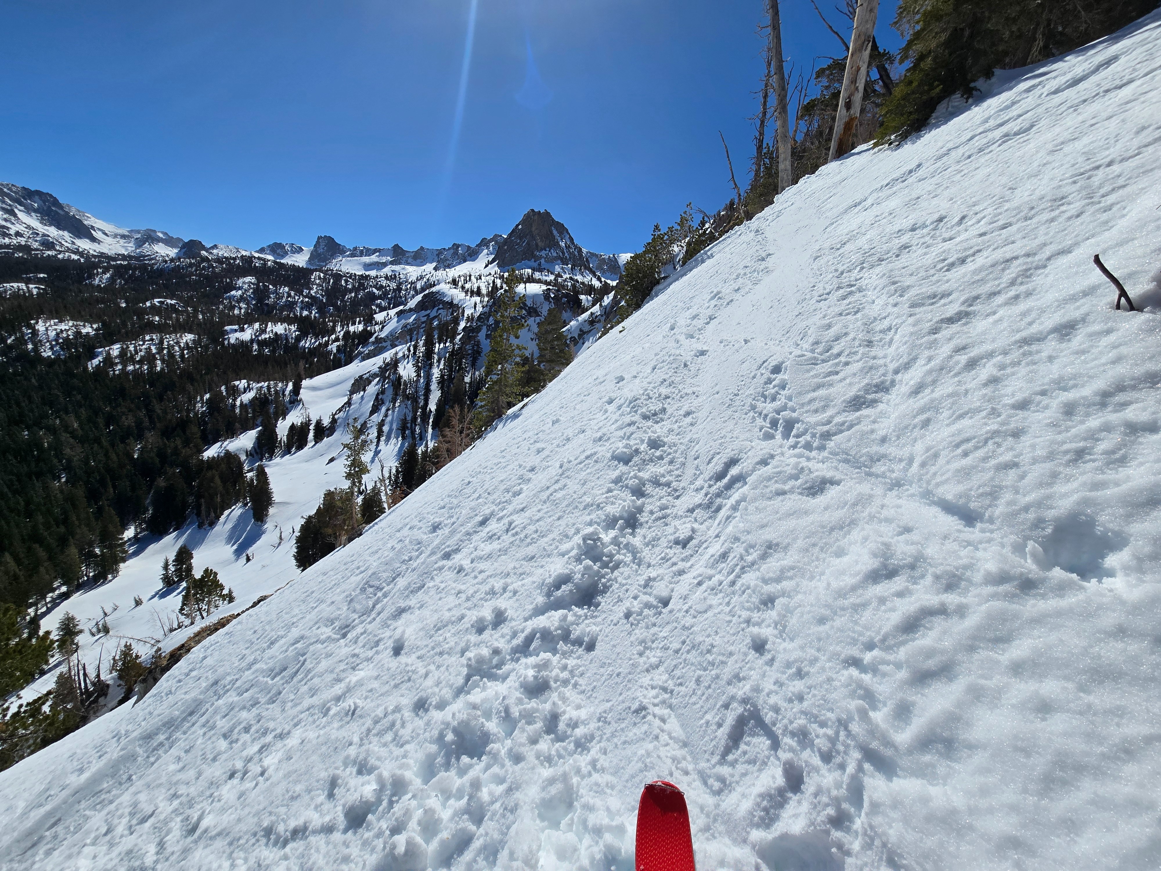
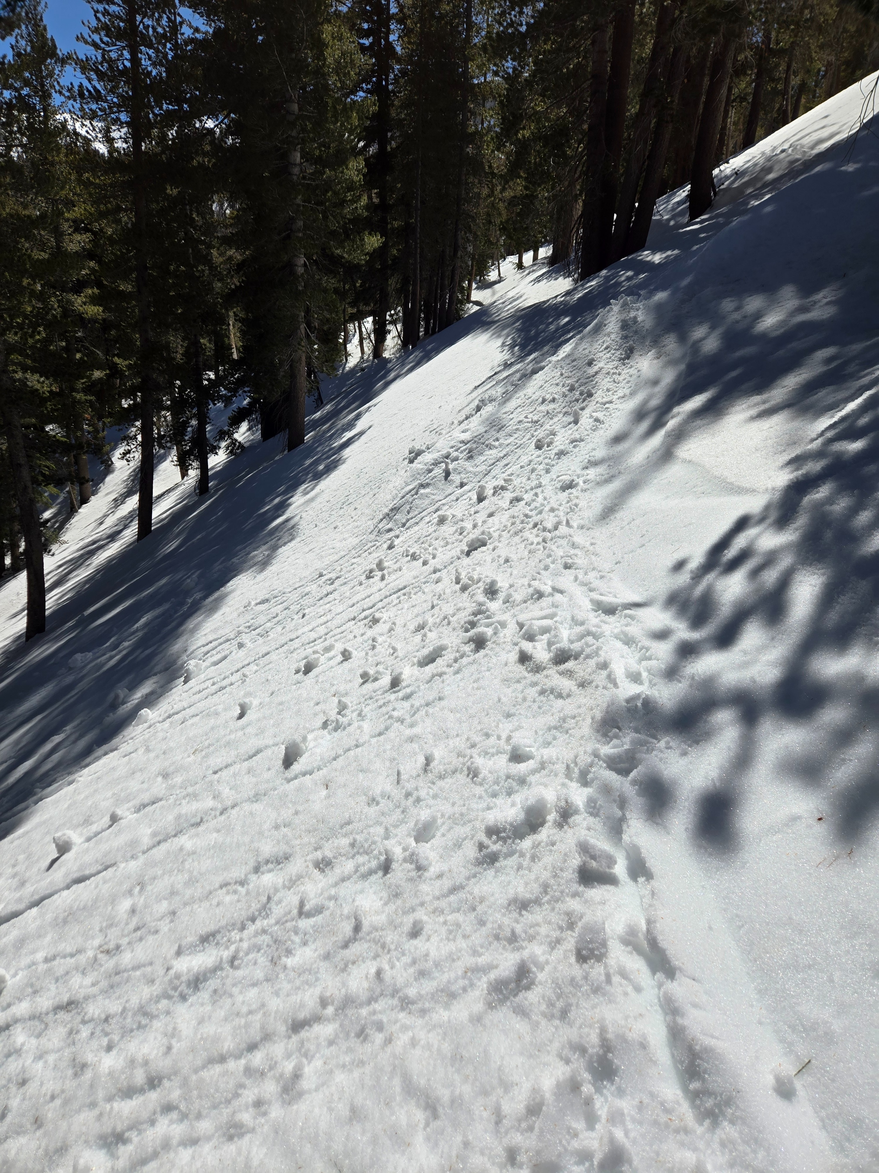
- Despite ski cutting wet snow on several steep sunny slopes near and below treeline midday, I could not trigger a wet loose avalanche.
- The takeaway is that it's time to get your head back into the winter mindset.
Weather
- Air Temp
- Upper 30s to 40s
- Cloud Cover
- few
- Wind Loading
- none
- Snow Avail For Transport
- none
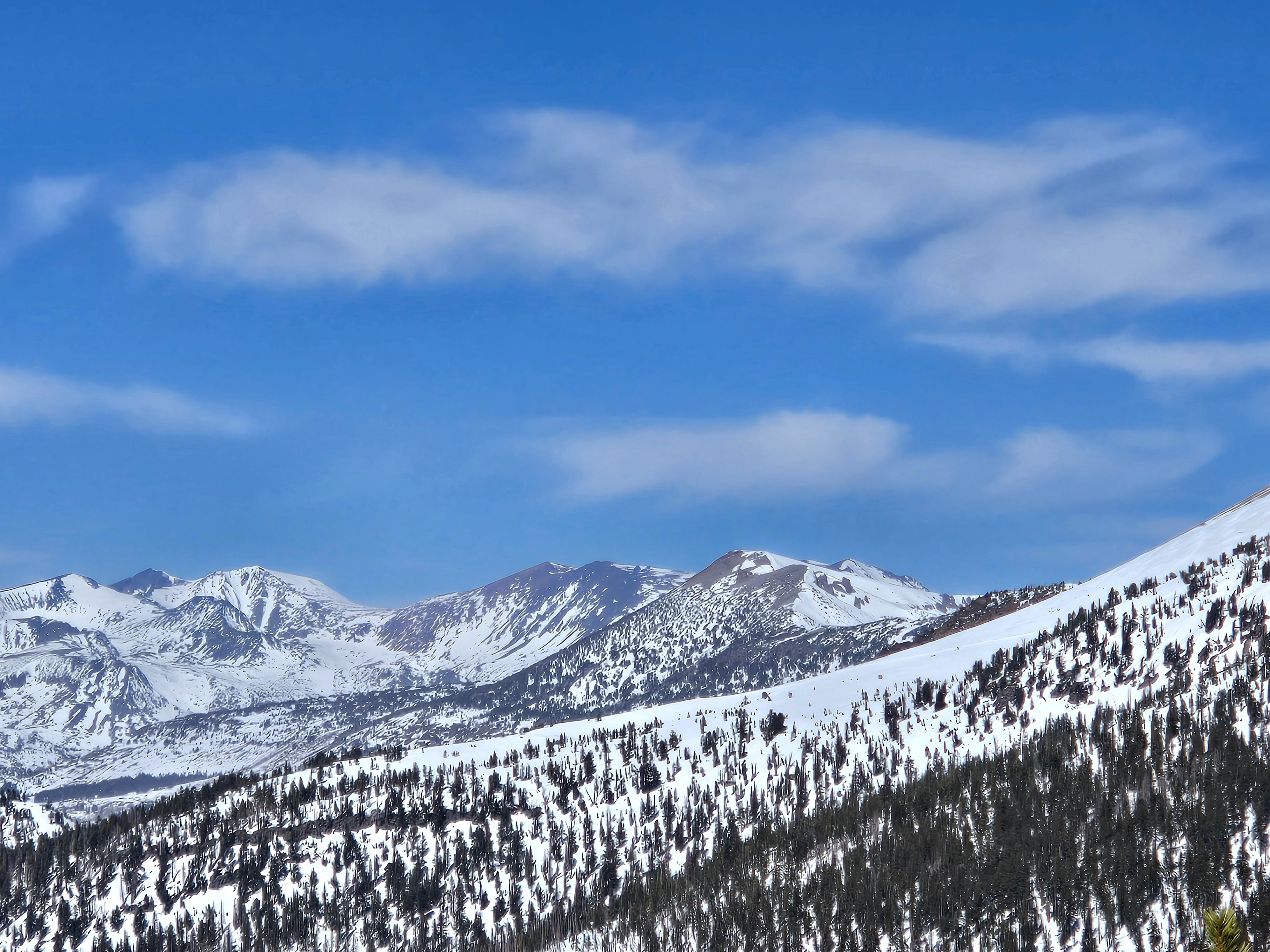
A beautiful last day of False Spring. Light northeast winds were a little chilly at the top of the Crest, but otherwise it was quite warm and calm.
Snowpack
Below Treeline:
- All but true sheltered northerly slopes were either moist-to-wet large grain melt forms in direct sun, or a melt-freeze crust.
- North aspects were dry snow. 1 cm, 1F hard melt-freeze crust from last week's warm-up on all aspects. Under that crust, 4F hard, 1 mm facets; Ski penetration: 5 cm (not sinking in much because of the crust), Boot penetration: 15 cm in all dry snow.
Near Treeline:
- All aspects except northeast, north, and northwest, as well as west, also had spring, melt-freeze snow.
- Northerlies: 20 cm of 4F hard, 1 mm surface facets over a 1F hard, settled layer; Ski: 10, Boot: 20.
- West aspects: faceting wind board.
Above Treeline:
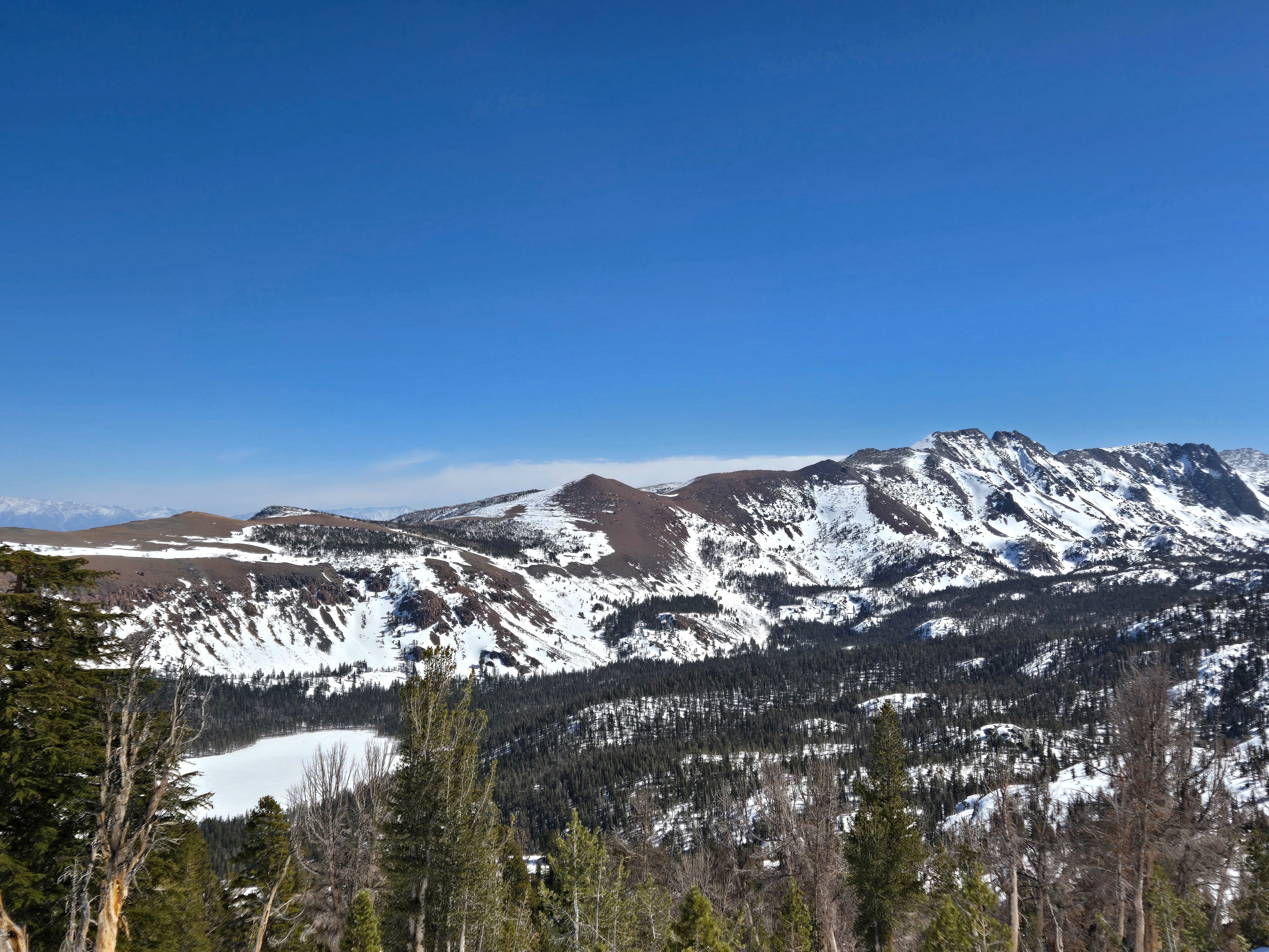
- East to southeast: well developed melt-freeze surfaces.
- South to southwest to west: transitioning from dry to melt-freeze. No observed instability, just dryer, colder, crusty, sastrugi, not a lot of snow available for southwest winds to transport currently, with the crust and many slopes on these aspects bare.
- Northerlies: same as near treeline with the facets, even in an open alpine start zone.