
Quick report
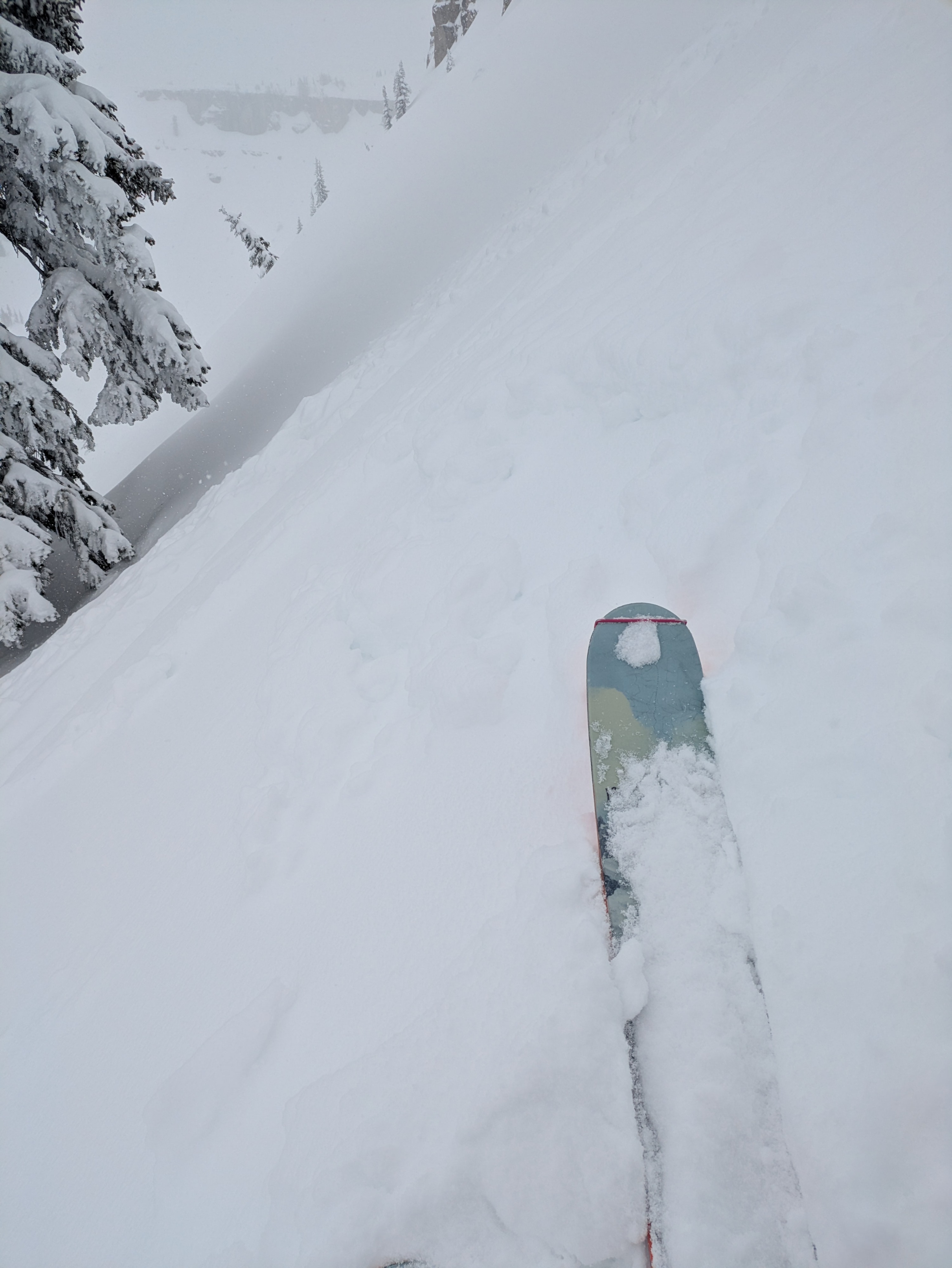
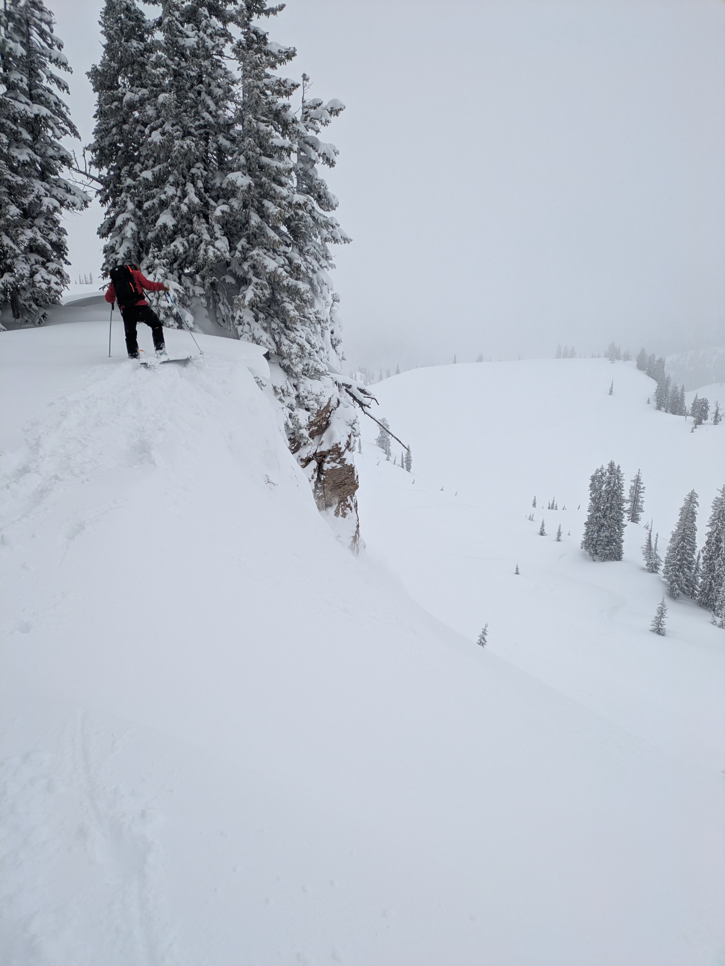
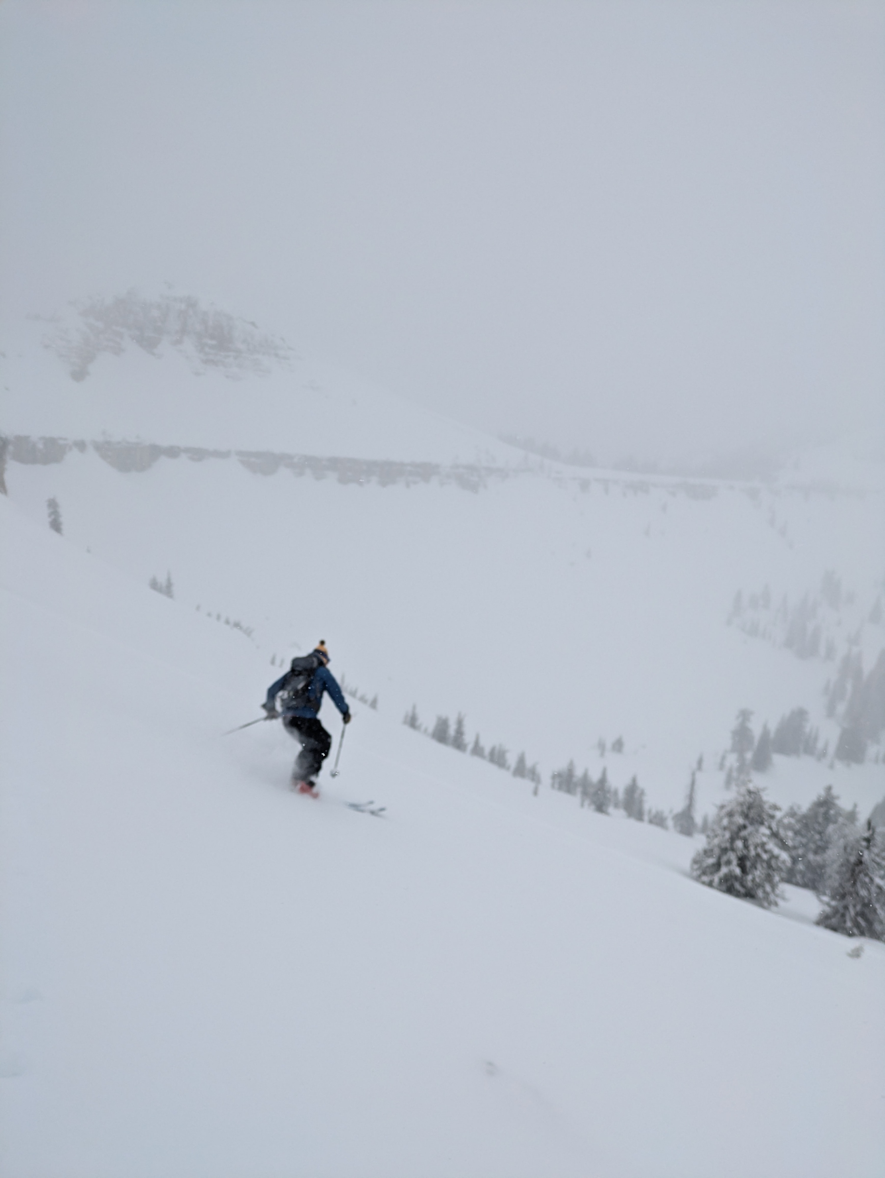
Late season powder was appreciated. New snow was bootop, soft with fair to good stability, well bonded to crust below but with some density breaks, and slab development from recent wind loading this week. Cooling temperatures tonight bode well for stability in the near term but short breaks in cloud cover today were a reminder that we are set-up for another significant wet-loose shedding event when temperatures warm and/or the high April sun beats down surfaces. If you are motivated to get above 8,500', enjoy the pow turns on un-wind-affected moderate angle slopes but be mindful of the destabilizing effect of incoming sunshine and newly formed cornices on top of the old ones.
Minor surface cracking on density breaks down 30cm from surface. Small cornice drops produced no results and entrained little snow. Turns on 40+ generated minor sluffing. No collapssing, no natural activity observed. Ski patrol reported results in HN24 wind, loaded pockets to 1.5' thick.Weather
- Air Temp
- mid to upper 20s
- Cloud Cover
- obscured
- Wind Loading
- previous
- Rain Elevation
- >6,000'
- Recent Snowfall
- 35ish
- Snow Avail For Transport
- large amounts
S-1 most of the day