
Quick report
Went up to the Surprise Meadow weather station to clear the interval board. Cleared 26" of snow with 4.15" of snow water equivalent (SWE) since January 22nd. Last week's storm brought about 3.4" of SWE to the station.
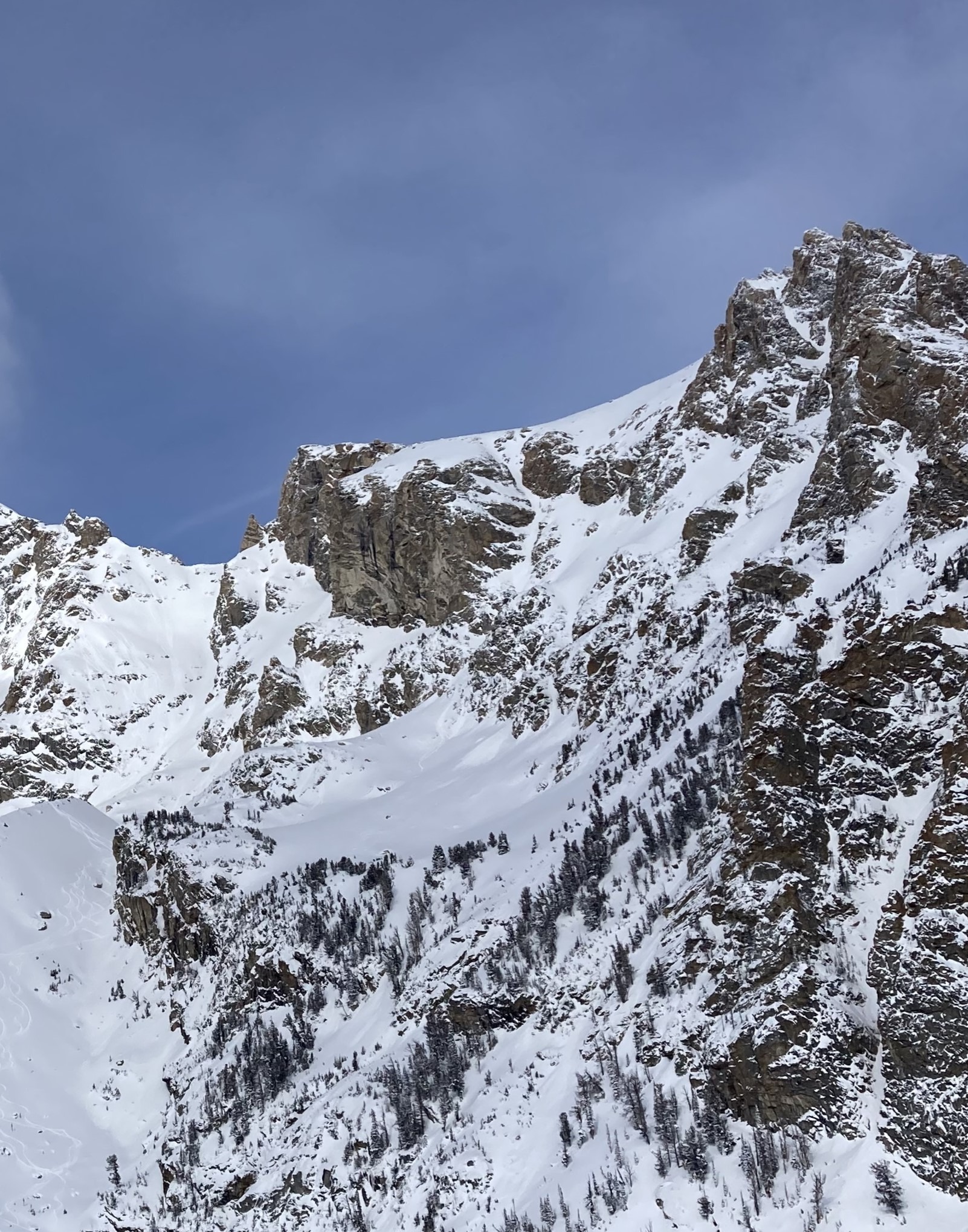
A nice breakable crust is present on all aspects up to 7,600'. Solar aspects were crusty to about 8,200'. Above that, the snow surface consisted mostly of loose dry snow until sunny aspects became moist around 1pm. We observed very little evidence of wind affect up to 9,600', even on exposed ridge lines.
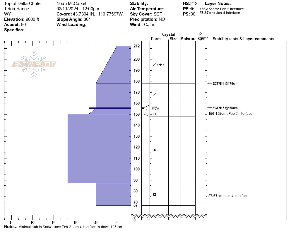
Dug on an east facing slope at 9,600'. The total height of snow was 212cm (7'). The Feb 2 interface is buried about 60cm (2') and consists of a thin melt freeze crust with poorly developed facets/ mixed forms below. The slab was still quite soft in this location and didn't propagate a fracture (ECTN 17 down 60cm).
The Jan 4 layer is buried 75-100cm (2.5-3') deep at 8,300' and 1.25 meters (4') at 9,600'.
We observed some small point releases that started in steep, south facing rocky areas. Some probably occurred yesterday 2/10 and others occurred today 2/11 once the sun came out. We did not observe any other signs of instability.Weather
- Air Temp
- 20
- Cloud Cover
- scattered
- Wind Loading
- none
- Recent Snowfall
- 2
- Snow Avail For Transport
- small smounts
Clear and cold in the morning. Scattered clouds moving in around noon.