



Quick report
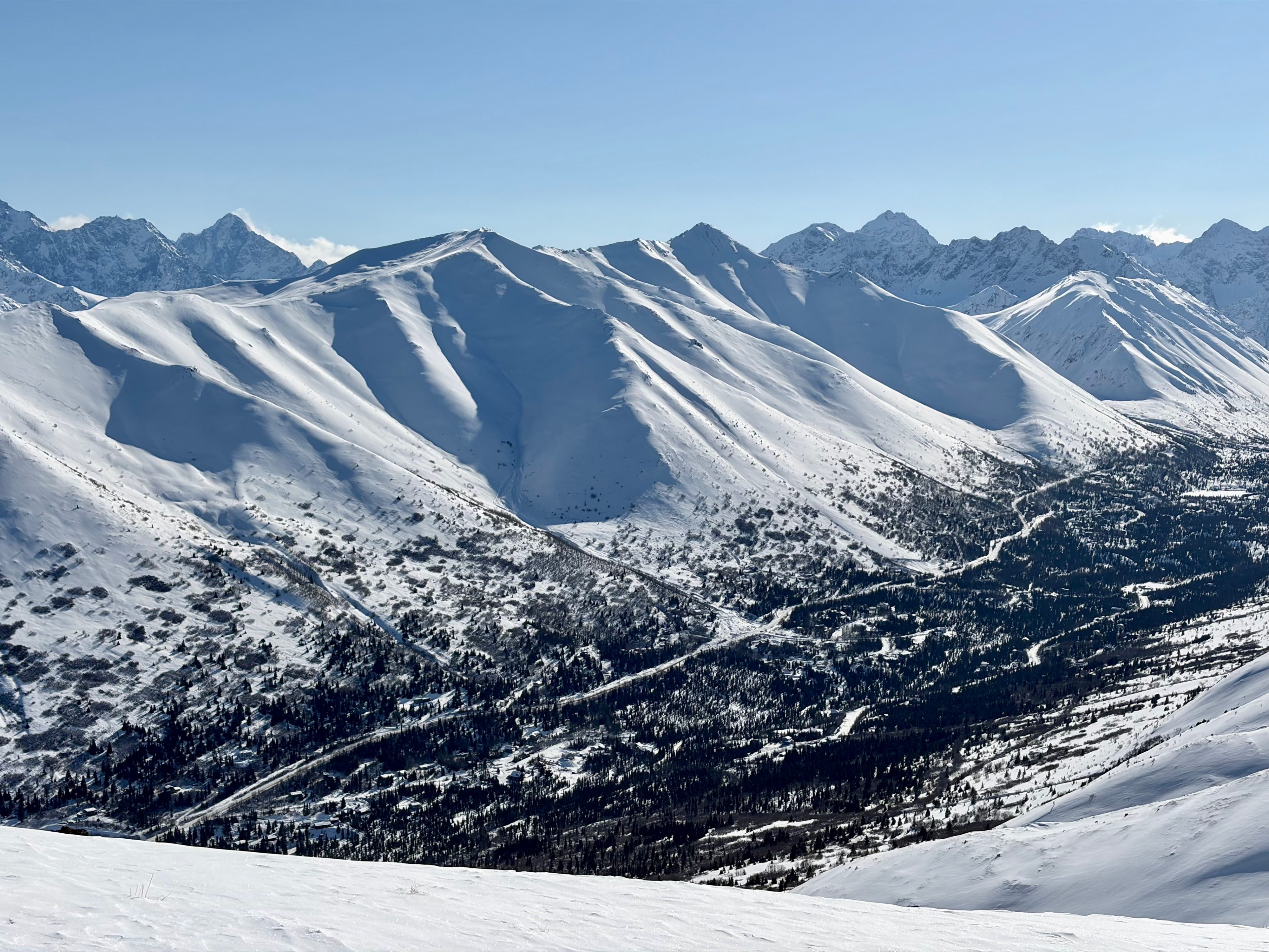
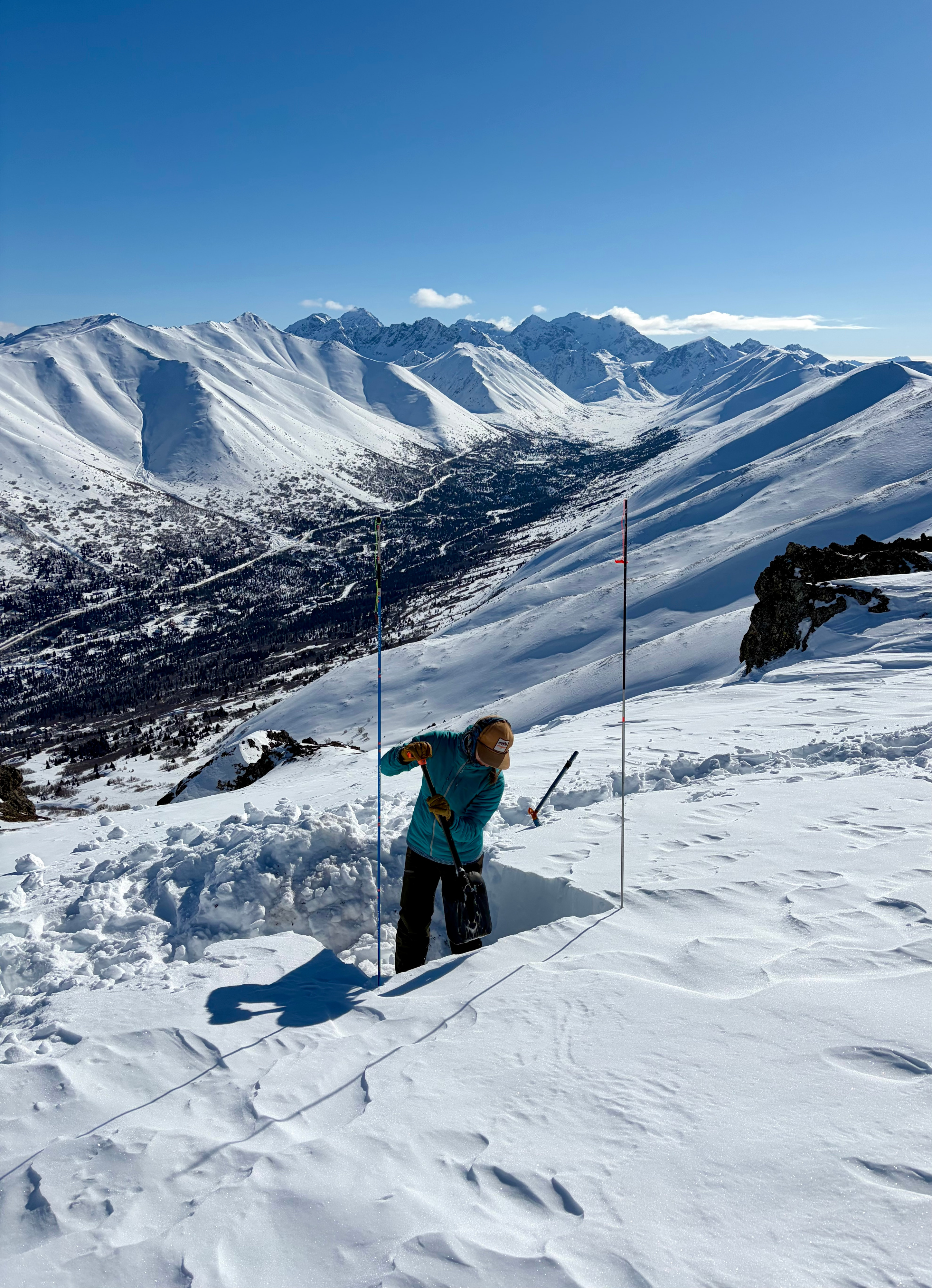
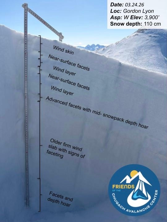
Toured up Gordon Lyon to ~3,900’ to assess persistent weak layers and check for early signs of moist snow on steep southerly aspects. We dug two snowpits on different aspects in shallow, wind-loaded terrain representative of likely trigger points. Both pits showed similar themes—wind slabs over facets—but with slightly different structures. One pit revealed multiple faceted layers, including two near-surface facet layers over more developed mid-pack facets/depth hoar, all sitting above an older, very firm wind slab that was difficult to cut with an ECT cord. This suggests these deeper layers are currently difficult to trigger. The second pit was largely composed of facets over a firm wind layer. Stability tests were unreactive at both sites.
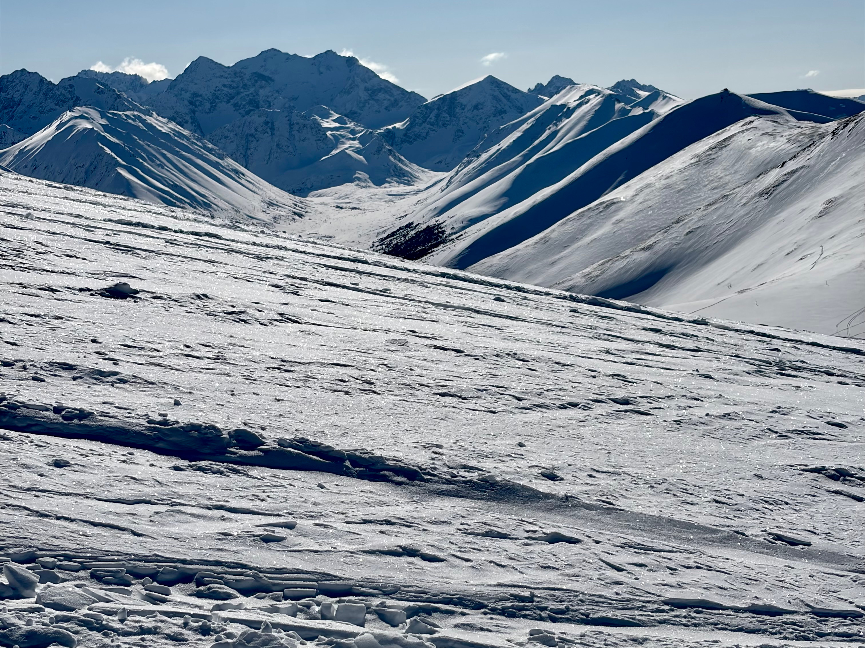
Looking ahead, a stretch of quiet, sunny weather is expected. Despite below-freezing air temperatures, strong solar input is beginning to affect steep southerly slopes, where we observed a thin layer of moist snow forming at the surface. As we move further into spring, it’s time to pay closer attention to solar aspects and the potential for wet snow instabilities.
Weather
- Air Temp
- 10
- Cloud Cover
- clear
- Wind Loading
- previous
- Rain Elevation
- Not observed
- Recent Snowfall
- None
- Snow Avail For Transport
- small smounts
No wind, no precipitation, clear, sunny skies, temperatures in the single digits to low teens F